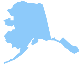
Geo Map - USA - Alaska
Alaska is a U.S. state situated in the northwest extremity of the North American continent.The vector stencils library Alaska contains contours for ConceptDraw PRO diagramming and vector drawing software. This library is contained in the Continent Maps solution from Maps area of ConceptDraw Solution Park.
Geo Map - USA - Mississippi
Mississippi is a U.S. state located in the Southern United States.The vector stencils library Mississippi contains contours for ConceptDraw PRO diagramming and vector drawing software. This library is contained in the Continent Maps solution from Maps area of ConceptDraw Solution Park.
Geo Map - USA - Iowa
Iowa is a U.S. state in the Midwestern United States, a region sometimes called the "American Heartland".The vector stencils library Iowa contains contours for ConceptDraw PRO diagramming and vector drawing software. This library is contained in the Continent Maps solution from Maps area of ConceptDraw Solution Park.
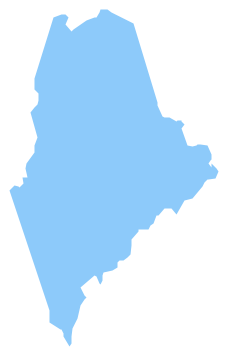
Geo Map - USA - Maine
Maine is a state in the New England region of the northeastern United States, bordered by the Atlantic Ocean to the east and south; New Hampshire to the west; the Canadian provinces of Quebec to the northwest; and New Brunswick to the northeast.The vector stencils library Maine contains contours for ConceptDraw PRO diagramming and vector drawing software. This library is contained in the Continent Maps solution from Maps area of ConceptDraw Solution Park.
Geo Map - USA - Montana
Montana is a state in the Western United States.The vector stencils library Montana contains contours for ConceptDraw PRO diagramming and vector drawing software. This library is contained in the Continent Maps solution from Maps area of ConceptDraw Solution Park.
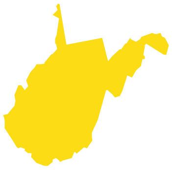
Geo Map - USA - West Virginia
West Virginia is a U.S. state located in the Appalachian region of the Southern United States.The vector stencils library West Virginia contains contours for ConceptDraw PRO diagramming and vector drawing software. This library is contained in the Continent Maps solution from Maps area of ConceptDraw Solution Park.
Geo Map - South America - Mexico
Mexico, officially the United Mexican States, is a federal republic in North America.The vector stencils library Mexico contains contours for ConceptDraw PRO diagramming and vector drawing software. This library is contained in the Continent Maps solution from Maps area of ConceptDraw Solution Park.
Geo Map - Europe - Russia
The vector stencils library Russia contains contours for ConceptDraw PRO diagramming and vector drawing software. This library is contained in the Continent Maps solution from Maps area of ConceptDraw Solution Park.Geo Map of Americas
The Americas are the combined continental landmasses of North America and South America, in the Western Hemisphere. There are 35 sovereign states in the Americas.ConceptDraw is idea to draw the geological maps of America from the pre-designed vector geo map shapes and vector images map of america.
Use Continent Maps solution from the Maps area of ConceptDraw Solution Park to draw thematic maps, geospatial infographics and vector illustrations for your business documents, presentations and websites.
Geo Map - USA - New Hampshire
New Hampshire is a state in the New England region of the northeastern United States of America. The state was named after the southern English county of Hampshire.The vector stencils library New Hampshire contains contours for ConceptDraw PRO diagramming and vector drawing software. This library is contained in the Continent Maps solution from Maps area of ConceptDraw Solution Park.
Geo Map - USA - Missouri
Missouri (see pronunciations) is a U.S. state located in the Midwestern United States.The vector stencils library Missouri contains contours for ConceptDraw PRO diagramming and vector drawing software. This library is contained in the Continent Maps solution from Maps area of ConceptDraw Solution Park.
Geo Map - Asia - Sri Lanka
Sri Lanka, officially the Democratic Socialist Republic of Sri Lanka, is an island country in the northern Indian Ocean off the southern coast of the Indian subcontinent in South Asia; known until 1972 as Ceylon, Sri Lanka has maritime borders with India to the northwest and the Maldives to the southwest.The vector stencils library Sri Lanka contains contours for ConceptDraw PRO diagramming and vector drawing software. This library is contained in the Continent Maps solution from Maps area of ConceptDraw Solution Park.
Geo Map - USA - Maryland
Maryland is a U.S. state located in the Mid-Atlantic region of the United States, bordering Virginia, West Virginia, and Washington, D.C. to its south and west; Pennsylvania to its north; and Delaware to its east.The vector stencils library Maryland contains contours for ConceptDraw PRO diagramming and vector drawing software. This library is contained in the Continent Maps solution from Maps area of ConceptDraw Solution Park.
Geo Map - USA - Georgia
Georgia is a state located in the southeastern United States.The vector stencils library Georgia contains contours for ConceptDraw PRO diagramming and vector drawing software. This library is contained in the Continent Maps solution from Maps area of ConceptDraw Solution Park.
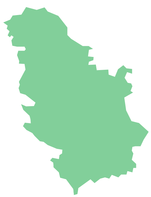
Geo Map - Europe - Serbia
The vector stencils library Serbia contains contours for ConceptDraw PRO diagramming and vector drawing software. This library is contained in the Continent Maps solution from Maps area of ConceptDraw Solution Park.- Picture Of The Usa Map
- How to Connect an Image to a Topic in Your Mind Map | How to ...
- United States Of America Picture
- Picture Of United States Of America Map
- USA Maps | Circle-Spoke Diagrams | Area Charts | Diagram ...
- Picture Graphs | Picture Graph | Basic Diagramming | Bar Graph ...
- Geo Map - United States of America Map | Geo Map - USA - Alaska ...
- Area Charts | Picture Graphs | Line Graphs | Pictorial Chart Of Over ...
- Line Chart Examples | Pictures of Graphs | Line Graph | Population ...
- Area Charts | Picture Graphs | Line Graphs | Chart In Word On ...
- Picture Of America On Map
- Types of Flowchart - Overview | Picture Graphs | Picture Graph ...
- Geo Map - USA - Washington | How to Draw a Map of USA States ...
- USA Maps | UK Map | Create A Line Chart With City And Population
- Population growth by continent, 2010 - 2013 - Picture graph | Geo ...
- Picture graph - Population growth by continent, 2010 - 2013 ...
- Continent Maps | Geo Map of Americas | Geo Map - United States of ...
- Best Tool for Infographic Construction | Map of Continents | World ...
- Image For America Map
- USA Maps | Geo Map - United States of America Map | Map of USA ...
