 USA Maps
Use the USA Maps solution to create a map of USA, a US interstate map, printable US maps, US maps with cities and US maps with capitals. Create a complete USA states map.
HelpDesk
How to Draw a Map of USA States Using ConceptDraw PRO
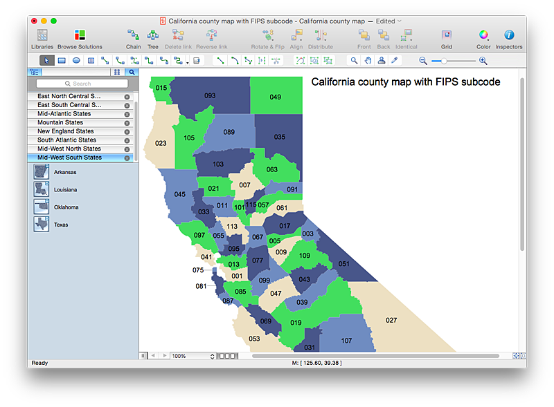
You can found a huge set of geopolitical statistical data regarding America. A common way of visualizing this data is to create maps that connect a particular data in relation to a specific geographical area. Thematic maps are used to depict such data as population density, average rainfall, or political allegiance, representing the data by using visual elements and annotation. Thematic maps always focus on one particular subject matter unlike general reference maps, which display information on a different subjects — vegetation, topology, roads and highways, etc. The United States Mapping Solution for ConceptDraw PRO includes all of the US States with county outlined borders, from the largest, San Bernardino in California, to the smallest Kalawao County, Hawaii.- Us Map With Cities And States
- Map of USA States
- Geo Map — United States of America Map | Map of USA States ...
- Usa Map Template
- UK Map | Map of England | United Kingdom Cities | England Map Of ...
- Usa Map Templates
- Africa map with countries, main cities and capitals - Template ...
- Show Map Of The Us
- Geo Map — United States of America Map
