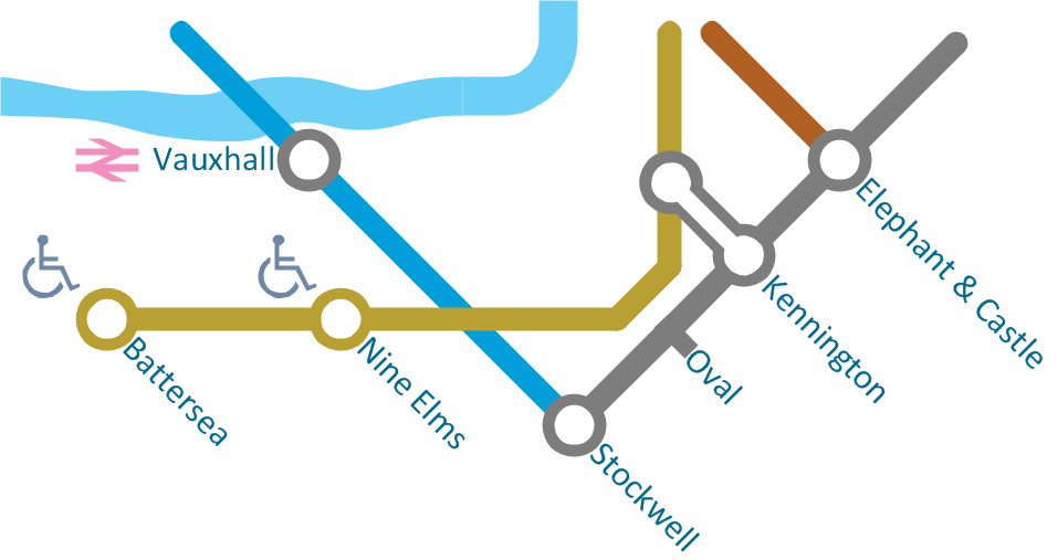
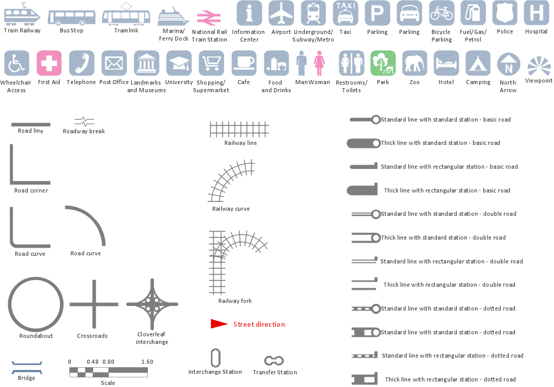
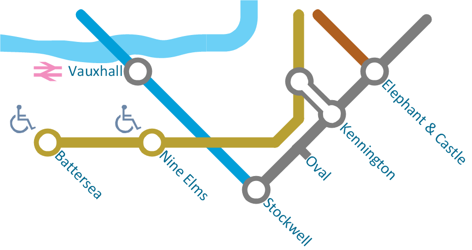
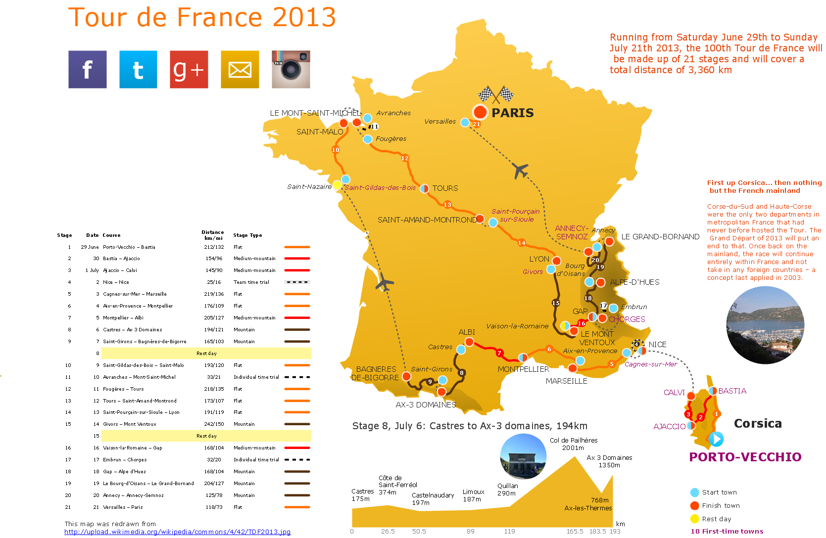
Infographic design elements, software tools Subway and Metro style
Subway infographic design elements for ConceptDraw PRO (mac and pc).Spatial Infographics
Not everyone can make spatial infographics from scratch, ConceptDraw will help you to create your own infographics.Map Infographic Maker
Take inspiration with ConceptDraw to visualise your maps and make eye-catching infographics.Excellent Examples of Infographic Maps
Create Spatial infographics with ConceptDraw using its excellent examples of infographic maps. We hope these can inspire and teach you!How to Create a Powerful Infographic When You do not Have a Designer
Create a powerful infographic, become inspired by the people with ConceptDraw.Map Infographic Design
ConceptDraw collection of vector elements for infographics design.Best Tool for Infographic Construction
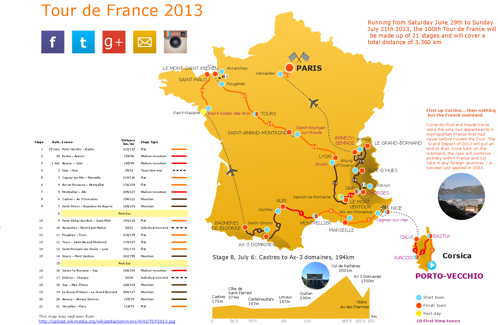
ConceptDraw is a best data visualization tool that will allow everyone to create rich infographics and visualizations quickly and easily.Transportation Infographics
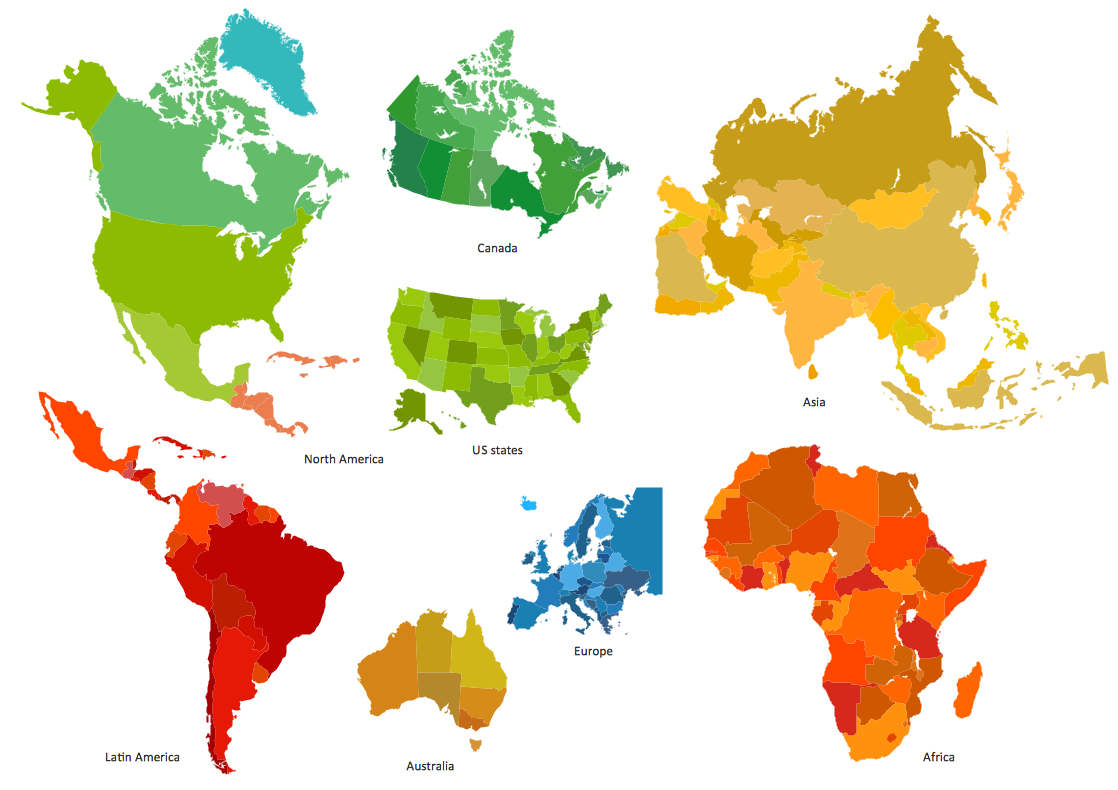
ConceptDraw is a visualization Software for making transportation infographics. Infographics design vector elements and vector graphics which will surely help you in your design process.Spatial infographics Design Elements: Continental Map
ConceptDraw PRO is a software for making infographics illustrations. You can work with various components to build really impressive and easy-to-understand infographics design.Visualization Spatial Data Using Thematic Maps Combined with Infographics
Now anyone can build an infographics from their data using ConceptDraw. Nice and simple, but the features it have are power-packed!Spatial infographics Design Elements: Location Map
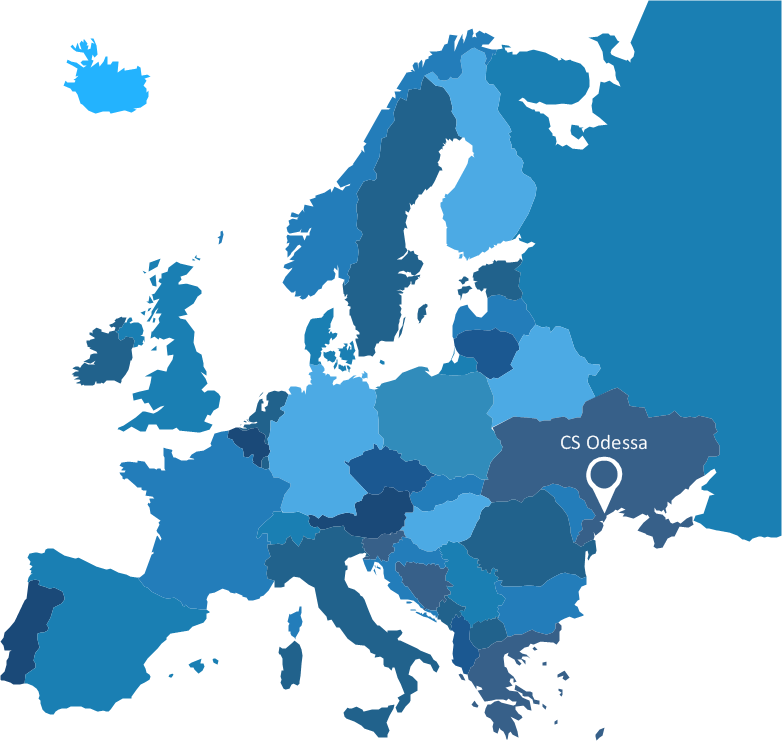
Infographic Design Elements for visually present various geographically distributed information.Map Infographic Creator
Follow samples and map templates to create nfographic maps. It's super-easy!Subway infographic design elements - software tools
Subway infographic design elements of MetroMap and ConceptDraw software tools.How to draw Metro Map style infographics? (New York)
How to draw Metro Map style infographics of New York subway. New York Subway has a long history starting on October 27, 1904. Since the opening many agencies have provided schemes of the subway system. At present time are 34 lines in use. This page present New York City subway map construct with Metro Map Solution in Conceptdraw PRO software. This is a one-click tool to add stations to the map. It lets you control the direction in which you create new stations, change lengths, and add text labels and icons. It contains Lines, Stations, and Landmarks objectsThe vector stencils library "Transport map" contains 96 pictograms for drawing transport maps.
Use it in your spatial infographics for visual representation of transport schemes and plans as metro maps in the ConceptDraw PRO diagramming and vector drawing software extended with the Spatial Infographics solution from the area "What is Infographics" of ConceptDraw Solution Park.
Use it in your spatial infographics for visual representation of transport schemes and plans as metro maps in the ConceptDraw PRO diagramming and vector drawing software extended with the Spatial Infographics solution from the area "What is Infographics" of ConceptDraw Solution Park.
- Spatial infographics Design Elements: Transport Map | Metro Map ...
- Infographic design elements, software tools Subway and Metro style ...
- Infographic design elements, software tools Subway and Metro style ...
- Vector Spatial Infographics
- Winter Sports Vector Clipart. Medal Map. Spatial Infographics ...
- How to draw Metro Map style infographics ? (London) | Metro Map ...
- Subway infographic design elements - software tools | Map ...
- Maps | Metro Map | Transport map - Vector stencils library ...
- Vector Map of Germany | Infographic design elements, software ...
- Transport map - Template | Metro Map | How to draw Metro Map ...
- Winter Sports Vector Clipart. Medal Map. Spatial Infographics ...
- How to draw Metro Map style infographics ? (London) | Value Stream ...
- Subway Train Map | Metro Map | Spatial infographics Design ...
- Infographic design elements, software tools Subway and Metro style ...
- Infographic design elements, software tools Subway and Metro style ...
- Metro map - Northern line extension to Battersea via Nine Elms ...
- Subway infographic design elements - software tools | Spatial ...
- Vector Spatial Infographics Map
- How to draw Metro Map style infographics ? (London) | How to draw ...

