Geo Map - Canada - Manitoba
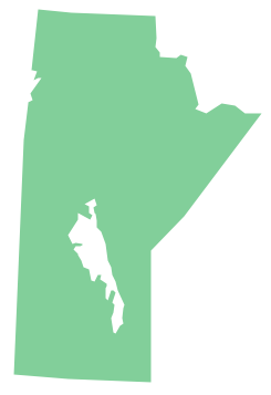
Manitoba is a Canadian prairie province. The vector stencils library Manitoba contains contours for ConceptDraw PRO diagramming and vector drawing software. This library is contained in the Continent Maps solution from Maps area of ConceptDraw Solution Park.Geo Map - USA - Michigan
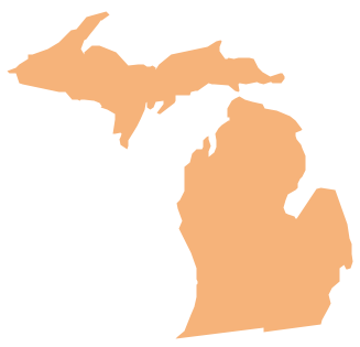
Michigan is a state in the Great Lakes region of the Midwestern United States. The vector stencils library Michigan contains contours for ConceptDraw PRO diagramming and vector drawing software. This library is contained in the Continent Maps solution from Maps area of ConceptDraw Solution Park.Geo Map - Asia - Pakistan
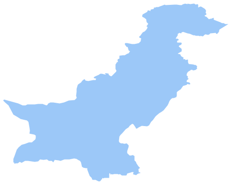
Pakistan, officially the Islamic Republic of Pakistan, is a sovereign country in South Asia. The vector stencils library Pakistan contains contours for ConceptDraw PRO diagramming and vector drawing software. This library is contained in the Continent Maps solution from Maps area of ConceptDraw Solution Park.Geo Map - USA - Connecticut
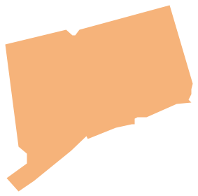
Connecticut is the southernmost state in the northeastern region of the United States known as New England. The vector stencils library Connecticut contains contours for ConceptDraw PRO diagramming and vector drawing software. This library is contained in the Continent Maps solution from Maps area of ConceptDraw Solution Park.Geo Map - Africa - Senegal
Senegal, officially the Republic of Senegal, is a country in West Africa. The vector stencils library Senegal contains contours for ConceptDraw PRO diagramming and vector drawing software. This library is contained in the Continent Maps solution from Maps area of ConceptDraw Solution Park.Geo Map - Canada
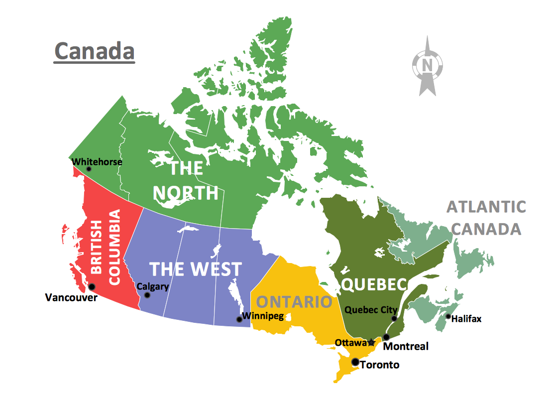
Canada is a country in North America consisting of 10 provinces and 3 territories. ConceptDraw PRO is idea to draw the geological maps of Canada from the pre-designed vector geo map shapes.Geo Map - USA - Iowa
Iowa is a U.S. state in the Midwestern United States, a region sometimes called the "American Heartland". The vector stencils library Iowa contains contours for ConceptDraw PRO diagramming and vector drawing software. This library is contained in the Continent Maps solution from Maps area of ConceptDraw Solution Park.Aerospace - Design Elements
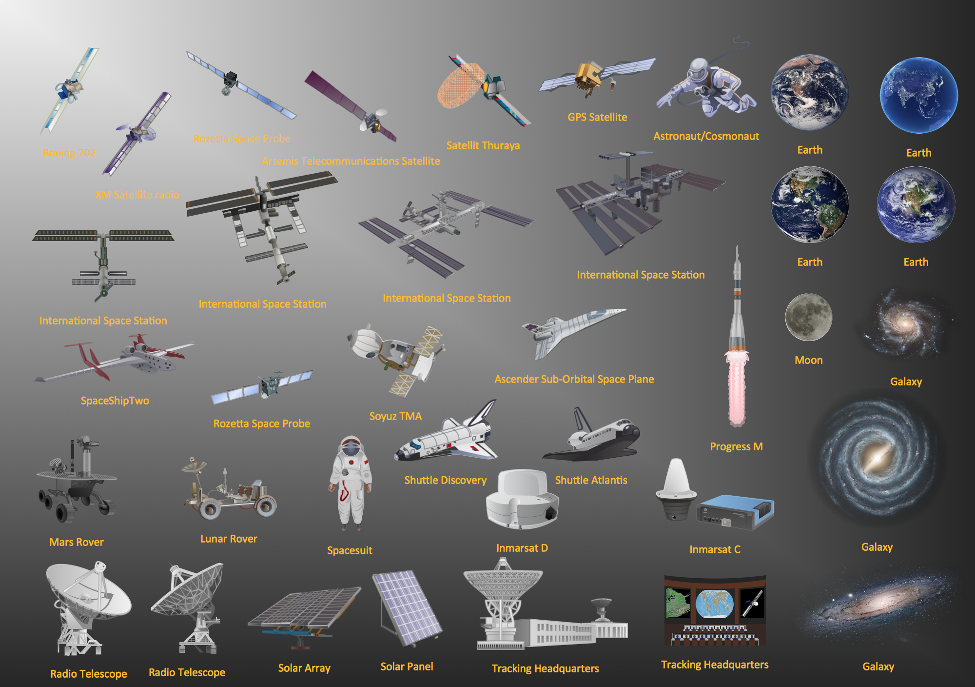
Samples, templates and libraries contain vector clip art for drawing the Aerospace Illustrations.Geo Map - Canada - British Columbia
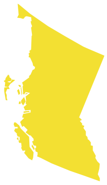
British Columbia, also commonly referred to by its initials BC or B.C. The vector stencils library British Columbia contains contours for ConceptDraw PRO diagramming and vector drawing software. This library is contained in the Continent Maps solution from Maps area of ConceptDraw Solution Park.Geo Map - Africa - Namibia
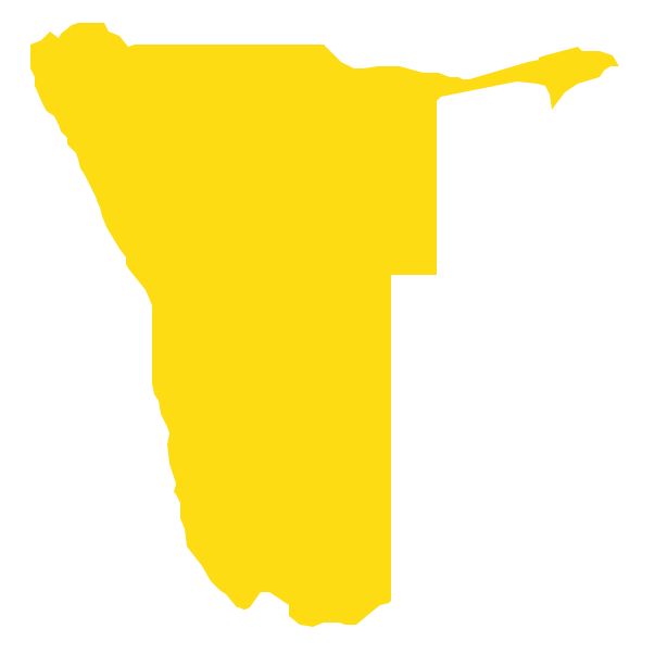
Namibia, officially the Republic of Namibia, is a country in southern Africa whose western border is the Atlantic Ocean. The vector stencils library Namibia contains contours for ConceptDraw PRO diagramming and vector drawing software. This library is contained in the Continent Maps solution from Maps area of ConceptDraw Solution Park.Geo Map - USA - Oregon
Oregon is a state in the Pacific Northwest of the United States. The vector stencils library Oregon contains contours for ConceptDraw PRO diagramming and vector drawing software. This library is contained in the Continent Maps solution from Maps area of ConceptDraw Solution Park.Geo Map - Europe - Greece
Greece is strategically located at the crossroads of Europe, Asia, and Africa. The vector stencils library Greece contains contours for ConceptDraw PRO diagramming and vector drawing software. This library is contained in the Continent Maps solution from Maps area of ConceptDraw Solution Park.Geo Map - Africa - Benin
Benin, officially the Republic of Benin, is a country in West Africa. It is bordered by Togo to the west, by Nigeria to the east and by Burkina Faso and Niger to the north. The vector stencils library Benin contains contours for ConceptDraw PRO diagramming and vector drawing software. This library is contained in the Continent Maps solution from Maps area of ConceptDraw Solution Park.Geo Map - USA - Nebraska
Nebraska is a state on the Great Plains of the Midwestern United States. The vector stencils library Nebraska contains contours for ConceptDraw PRO diagramming and vector drawing software. This library is contained in the Continent Maps solution from Maps area of ConceptDraw Solution Park.Geo Map - Asia - North Korea
North Korea, officially the Democratic People's Republic of Korea, is a country in East Asia, in the northern part of the Korean Peninsula. The vector stencils library North Korea contains contours for ConceptDraw PRO diagramming and vector drawing software. This library is contained in the Continent Maps solution from Maps area of ConceptDraw Solution Park.- Visio Stencil For Canadian Provinces
- Visio Bike Stencil
- Design elements - Geography | Geography - Vector stencils library ...
- Ski lift in the snow capped mountains | Geography - Vector stencils ...
- Map Of Canada Provinces For Visio
- Design elements - Geography | Geography - Vector stencils library ...
- Visio Stencils For Warehouse
- Beetles in the river Thames - Frequency histogram | Geography ...
- Geography - Vector stencils library | Cisco Products Additional ...
- Vehicle Shapes For Visio
- Aircraft Visio
- River Illustration Png
- Design elements - Geography | Geography - Vector stencils library ...
- Offshore Visio Stencil
- Shape Visio Ship
- Geography - Vector stencils library | Winter Olympics pictograms ...
- Visio Transportaion Shapes Download Free Microsoft
- Geography - Vector stencils library | Water cycle diagram | Building ...
- Clipart Of A River
- How To Create a MS Visio Rack Diagram Using ConceptDraw PRO ...
