This site uses cookies. By continuing to browse the ConceptDraw site you are agreeing to our Use of Site Cookies.

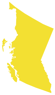
Geo Map - Canada - British Columbia

British Columbia, also commonly referred to by its initials BC or B.C. The vector stencils library British Columbia contains contours for ConceptDraw DIAGRAM diagramming and vector drawing software. This library is contained in the Continent Maps solution from Maps area of ConceptDraw Solution Park.

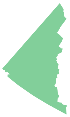
Geo Map - Canada - Yukon

Yukon is the westernmost and smallest of Canada's three federal territories. Whitehorse is the territorial capital. The vector stencils library Yukon contains contours for ConceptDraw DIAGRAM diagramming and vector drawing software. This library is contained in the Continent Maps solution from Maps area of ConceptDraw Solution Park.

Geo Map - Canada - Prince Edward Island

Prince Edward Island is a Canadian province consisting of the island itself, as well as other islands. The vector stencils library Prince Edward Island contains contours for ConceptDraw DIAGRAM diagramming and vector drawing software. This library is contained in the Continent Maps solution from Maps area of ConceptDraw Solution Park.

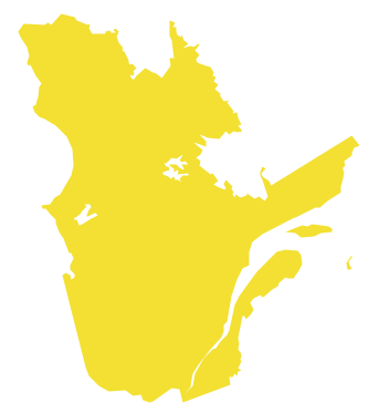
Geo Map - Canada - Quebec

Quebec is a province in east-central Canada. The vector stencils library Quebec contains contours for ConceptDraw DIAGRAM diagramming and vector drawing software. This library is contained in the Continent Maps solution from Maps area of ConceptDraw Solution Park.

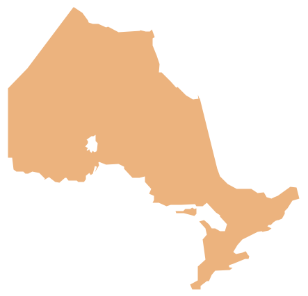
Geo Map - Canada - Ontario

Ontario is one of the ten provinces of Canada, located in east-central Canada. The vector stencils library Ontario contains contours for ConceptDraw DIAGRAM diagramming and vector drawing software. This library is contained in the Continent Maps solution from Maps area of ConceptDraw Solution Park.

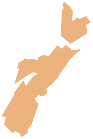
Geo Map - Canada - Nova Scotia

Nova Scotia is one of Canada's three Maritime provinces and constitutes one of the four Atlantic Canada provinces. The vector stencils library Nova Scotia contains contours for ConceptDraw DIAGRAM diagramming and vector drawing software. This library is contained in the Continent Maps solution from Maps area of ConceptDraw Solution Park.
The vector stencils library "Canada" contains 15 map contours for drawing thematic maps of Canada. Use it for visual representation of geospatial information, statistics and quantitative data.
"The provinces and territories of Canada combine to make up the world's second-largest country by area. Originally three provinces of British North America, New Brunswick, Nova Scotia and the Province of Canada (which would become Ontario and Quebec) united to form the new nation. Since then, Canada's external borders have changed several times, and has grown from four initial provinces to ten provinces and three territories as of 1999. The ten provinces are Alberta, British Columbia, Manitoba, New Brunswick, Newfoundland and Labrador, Nova Scotia, Ontario, Prince Edward Island, Quebec, and Saskatchewan. The three territories are Northwest Territories, Nunavut, and Yukon." [Provinces and territories of Canada. Wikipedia]
The map contours example "Canada - Vector stencils library" was created using the ConceptDraw PRO diagramming and vector drawing software extended with the Continent Maps solution from the Maps area of ConceptDraw Solution Park.
Canada
Canada, Canada, Canada map,
Canada (color)
Canada (color), Canada, Canada map,
Alberta
Alberta, Alberta,
British Columbia
British Columbia, British Columbia,
Manitoba
Manitoba, Manitoba,
New Brunswick
New Brunswick, New Brunswick,
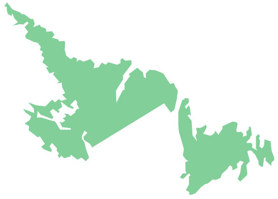
Newfoundland and Labrador
Newfoundland and Labrador, Newfoundland and Labrador,
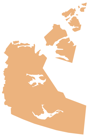
Northwest Territories
Northwest Territories, Northwest Territories,
Nova Scotia
Nova Scotia, Nova Scotia,
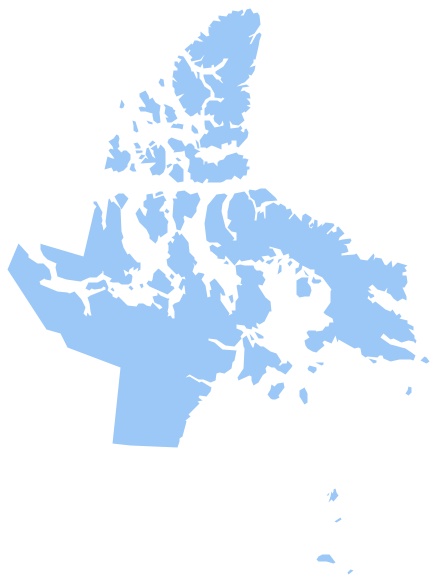
Nunavut
Nunavut, Nunavut,
Ontario
Ontario, Ontario,
Prince Edward Island
Prince Edward Island, Prince Edward Island,
Quebec
Quebec, Quebec,
Saskatchewan
Saskatchewan, Saskatchewan,
Yukon
Yukon, Yukon,
Used Solutions

Geo Map - Canada

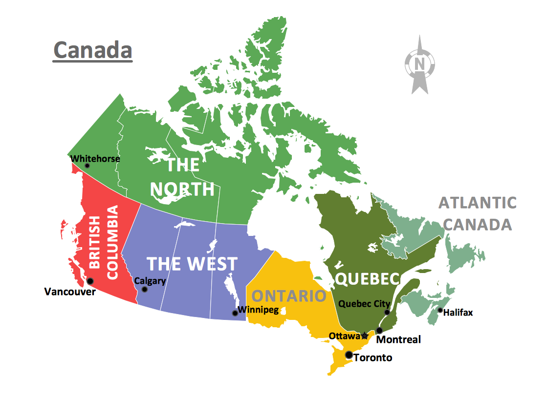
Canada is a country in North America consisting of 10 provinces and 3 territories. ConceptDraw DIAGRAM is idea to draw the geological maps of Canada from the pre-designed vector geo map shapes.

USA Map

Usually designing of maps, including the USA Map is a quite complex, long and labour-intensive process. But now we have an excellent possibility to make it easier with ConceptDraw DIAGRAM diagramming and vector drawing software extended with powerful USA Maps Solution from the Maps Area of ConceptDraw Solution Park.

Geo Map — USA — New York

New York is a state in the Northeastern and Mid-Atlantic regions of the United States. The vector stencils library New York contains contours for ConceptDraw DIAGRAM diagramming and vector drawing software. This library is contained in the Continent Maps solution from Maps area of ConceptDraw Solution Park.
The vector stencils library "North America" contains 70 contours for drawing thematic maps of North America in spatial infographics.
Use it for visual representation of geospatial information, statistics and quantitative data in the ConceptDraw PRO diagramming and vector drawing software extended with the Spatial Infographics solution from the area "What is Infographics" of ConceptDraw Solution Park.
North America
North America, North America, North America map, North American countries,
Greenland (Denmark)
Greenland (Denmark), Greenland, Greenland map,
Canada
Canada, Canada, Canada map,
Canada (provinces and territories)
Canada (provinces and territories), Canada, Canada map, provinces, territories,
Alberta
Alberta, Alberta,
British Columbia
British Columbia, British Columbia,
Manitoba
Manitoba, Manitoba,
New Brunswick
New Brunswick, New Brunswick,
Newfoundland and Labrador
Newfoundland and Labrador, Newfoundland and Labrador,
Northwest Territories
Northwest Territories, Northwest Territories,
Nova Scotia
Nova Scotia, Nova Scotia,
Nunavut
Nunavut, Nunavut,
Ontario
Ontario, Ontario,
Prince Edward Island
Prince Edward Island, Prince Edward Island,
Quebec
Quebec, Quebec,
Saskatchewan
Saskatchewan, Saskatchewan,
Yukon
Yukon, Yukon,
USA
USA, USA, United States of America, U.S.A., United States, US, U.S., America,
US states
US states, USA, United States of America, U.S.A., United States, US, U.S., America,
Alabama
Alabama, Alabama,
Alaska
Alaska, Alaska,
Arizona
Arizona, Arizona,
Arkansas
Arkansas, Arkansas,
California
California, California,
Colorado
Colorado, Colorado,
Connecticut
Connecticut, Connecticut,
Delaware
Delaware, Delaware,
Florida
Florida, Florida,
Georgia
Georgia, Georgia,
Hawaii
Hawaii, Hawaii,
Idaho
Idaho, Idaho,
Illinois
Illinois, Illinois,
Indiana
Indiana, Indiana,
Iowa
Iowa, Iowa,
Kansas
Kansas, Kansas,
Kentucky
Kentucky, Kentucky,
Louisiana
Louisiana, Louisiana,
Maine
Maine, Maine,
Maryland
Maryland, Maryland,
Massachusetts
Massachusetts, Massachusetts,
Michigan
Michigan, Michigan,
Minnesota
Minnesota, Minnesota,
Mississippi
Mississippi, Mississippi,
Missouri
Missouri, Missouri,
Montana
Montana, Montana,
Nebraska
Nebraska, Nebraska,
Nevada
Nevada, Nevada,
New Hampshire
New Hampshire, New Hampshire,
New Jersey
New Jersey, New Jersey,
New Mexico
New Mexico, New Mexico,
New York
New York, New York,
North Carolina
North Carolina, North Carolina,
North Dakota
North Dakota, North Dakota,
Ohio
Ohio, Ohio,
Oklahoma
Oklahoma, Oklahoma,
Oregon
Oregon, Oregon,
Pennsylvania
Pennsylvania, Pennsylvania,
Rhode Island
Rhode Island, Rhode Island,
South Carolina
South Carolina, South Carolina,
South Dakota
South Dakota, South Dakota,
Tennessee
Tennessee, Tennessee,
Texas
Texas, Texas,
Utah
Utah, Utah,
Vermont
Vermont, Vermont,
Virginia
Virginia, Virginia,
Washington
Washington, Washington,
West Virginia
West Virginia, West Virginia,
Wisconsin
Wisconsin, Wisconsin,
Wyoming
Wyoming, Wyoming,
Mexico
Mexico, Mexico,

Map of USA

It is impossible to imagine modern life and science without maps, they surround us anywhere, they are used in geography, history, politics, economics, and many other fields of science. ConceptDraw DIAGRAM diagramming and vector drawing software offers the USA Maps Solution from the Maps Area of ConceptDraw Solution Park with its collection of samples and libraries for easy drawing the Map of USA.

Geo Map — USA — Maine

Maine is a state in the New England region of the northeastern United States, bordered by the Atlantic Ocean to the east and south; New Hampshire to the west; the Canadian provinces of Quebec to the northwest; and New Brunswick to the northeast. The vector stencils library Maine contains contours for ConceptDraw DIAGRAM diagramming and vector drawing software. This library is contained in the Continent Maps solution from Maps area of ConceptDraw Solution Park.

Geo Map — USA — North Dakota

North Dakota is the 39th state of the United States, having been admitted to the union on November 2, 1889. The vector stencils library North Dakota contains contours for ConceptDraw DIAGRAM diagramming and vector drawing software. This library is contained in the Continent Maps solution from Maps area of ConceptDraw Solution Park.

Geo Map — USA — Montana

Montana is a state in the Western United States. The vector stencils library Montana contains contours for ConceptDraw DIAGRAM diagramming and vector drawing software. This library is contained in the Continent Maps solution from Maps area of ConceptDraw Solution Park.

Geo Map — USA — New Hampshire

New Hampshire is a state in the New England region of the northeastern United States of America. The state was named after the southern English county of Hampshire. The vector stencils library New Hampshire contains contours for ConceptDraw DIAGRAM diagramming and vector drawing software. This library is contained in the Continent Maps solution from Maps area of ConceptDraw Solution Park.

Spatial infographics Design Elements: Continental Map

ConceptDraw DIAGRAM is a software for making infographics illustrations. You can work with various components to build really impressive and easy-to-understand infographics design.
The vector stencils library "Canada" contains 15 map contours for drawing thematic maps of Canada. Use it for visual representation of geospatial information, statistics and quantitative data.
"The provinces and territories of Canada combine to make up the world's second-largest country by area. Originally three provinces of British North America, New Brunswick, Nova Scotia and the Province of Canada (which would become Ontario and Quebec) united to form the new nation. Since then, Canada's external borders have changed several times, and has grown from four initial provinces to ten provinces and three territories as of 1999. The ten provinces are Alberta, British Columbia, Manitoba, New Brunswick, Newfoundland and Labrador, Nova Scotia, Ontario, Prince Edward Island, Quebec, and Saskatchewan. The three territories are Northwest Territories, Nunavut, and Yukon." [Provinces and territories of Canada. Wikipedia]
The map contours example "Canada - Vector stencils library" was created using the ConceptDraw PRO diagramming and vector drawing software extended with the Continent Maps solution from the Maps area of ConceptDraw Solution Park.
Canada
Canada, Canada, Canada map,
Canada (color)
Canada (color), Canada, Canada map,
Alberta
Alberta, Alberta,
British Columbia
British Columbia, British Columbia,
Manitoba
Manitoba, Manitoba,
New Brunswick
New Brunswick, New Brunswick,
Newfoundland and Labrador
Newfoundland and Labrador, Newfoundland and Labrador,
Northwest Territories
Northwest Territories, Northwest Territories,
Nova Scotia
Nova Scotia, Nova Scotia,
Nunavut
Nunavut, Nunavut,
Ontario
Ontario, Ontario,
Prince Edward Island
Prince Edward Island, Prince Edward Island,
Quebec
Quebec, Quebec,
Saskatchewan
Saskatchewan, Saskatchewan,
Yukon
Yukon, Yukon,
Used Solutions

Map of Germany

Germany, officially the Federal Republic of Germany, is a federal parliamentary republic in West-Central Europe. You need design the map of Germany or detailed map of Germany with cities fast and easy? We reccomend you to use the indispensable ConceptDraw DIAGRAM diagramming and vector drawing software extended with unique Germany Map Solution from the Maps Area of ConceptDraw Solution Park.

Infographic software: the sample of New York City Subway map

Tool to draw Metro Map styled inforgraphics. New York City Subway map sample.