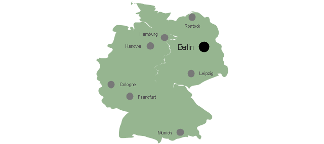
Germany Map
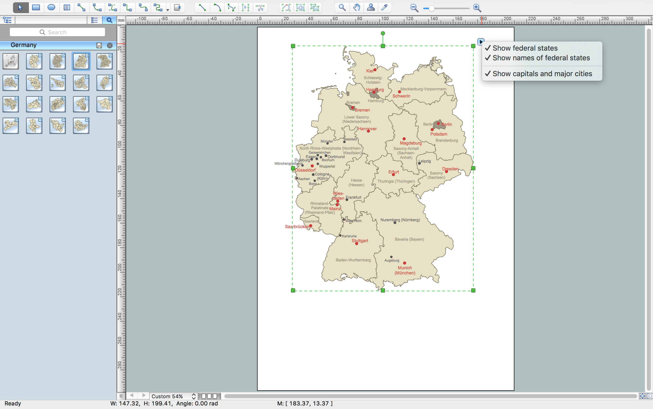
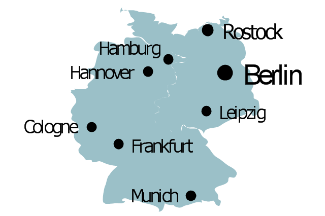
Germany is in Western and Central Europe, with Denmark bordering to the north, Poland and the Czech Republic to the east, Austria to the southeast, Switzerland to the south-southwest, France, Luxembourg and Belgium lie to the west, and the Netherlands to the northwest.ConceptDraw PRO diagramming and vector drawing software enhanced with Germany Map Solution from the Maps Area of ConceptDraw Solution Park is the best for drawing geographic Germany map, topography, political, and various thematic maps of Germany.
Maps of Germany
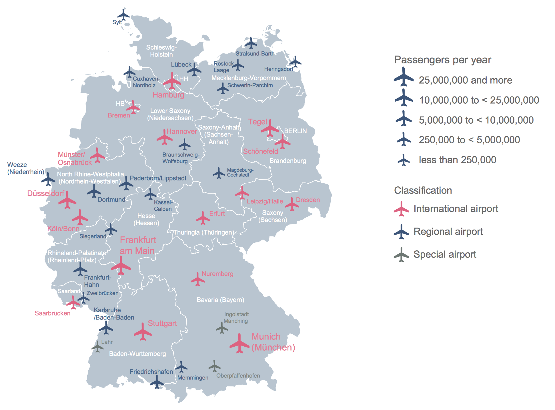
Germany is a federal parliamentary republic in West-Central Europe which consists of 16 constituent states. It is a part of Schengen area and the most populous member state in the European Union. ConceptDraw PRO diagramming and vector drawing software offers the unique Germany Map Solution from the Maps Area of ConceptDraw Solution Park, developed specially for easy drawing the maps of Germany of different levels of complexity and detailing.Map of Germany
Germany, officially the Federal Republic of Germany, is a federal parliamentary republic in West-Central Europe. You need design the map of Germany or detailed map of Germany with cities fast and easy? We reccomend you to use the indispensable ConceptDraw PRO diagramming and vector drawing software extended with unique Germany Map Solution from the Maps Area of ConceptDraw Solution Park.Geo Map - Europe - Luxembourg
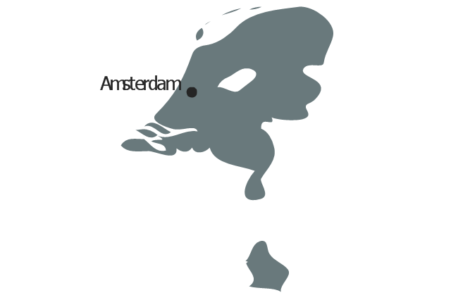
The vector stencils library Luxembourg contains contours for ConceptDraw PRO diagramming and vector drawing software. This library is contained in the Continent Maps solution from Maps area of ConceptDraw Solution Park.Geo Map - Europe - Netherlands
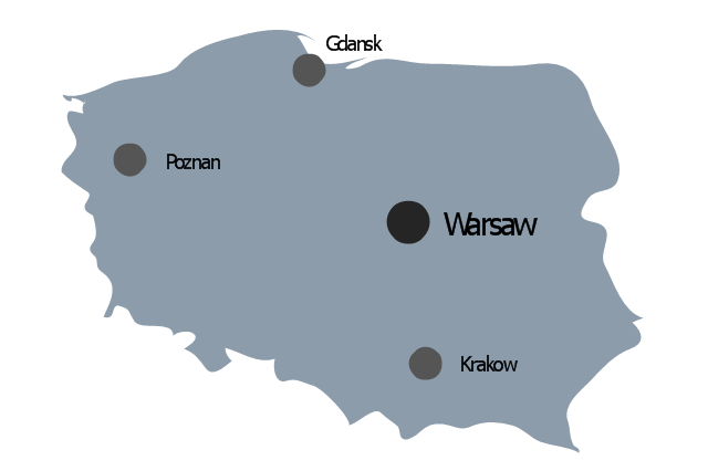
The vector stencils library Netherlands contains contours for ConceptDraw PRO diagramming and vector drawing software. This library is contained in the Continent Maps solution from Maps area of ConceptDraw Solution Park.Geo Map - Europe - Poland
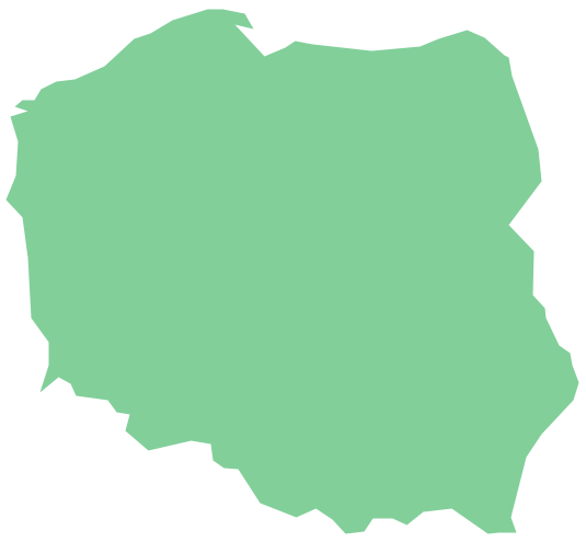
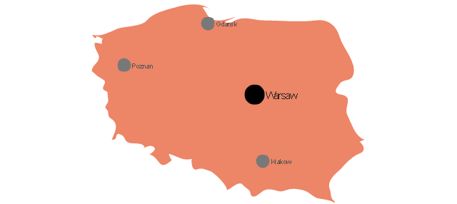
The vector stencils library Poland contains contours for ConceptDraw PRO diagramming and vector drawing software. This library is contained in the Continent Maps solution from Maps area of ConceptDraw Solution Park.Geo Map - Europe - Czech Republic
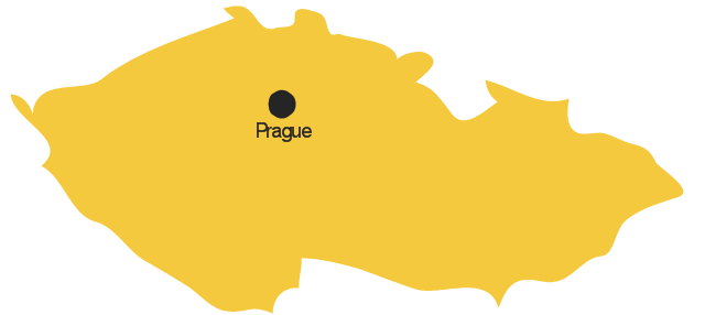
The vector stencils library Czech Republic contains contours for ConceptDraw PRO diagramming and vector drawing software. This library is contained in the Continent Maps solution from Maps area of ConceptDraw Solution Park.Geo Map - Europe - Switzerland
The vector stencils library Switzerland contains contours for ConceptDraw PRO diagramming and vector drawing software. This library is contained in the Continent Maps solution from Maps area of ConceptDraw Solution Park.
 USA Maps
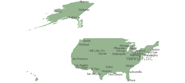
Use the USA Maps solution to create a map of USA, a US interstate map, printable US maps, US maps with cities and US maps with capitals. Create a complete USA states map.
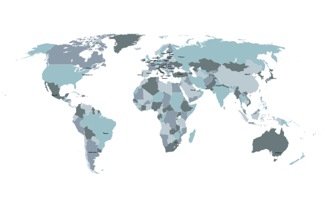
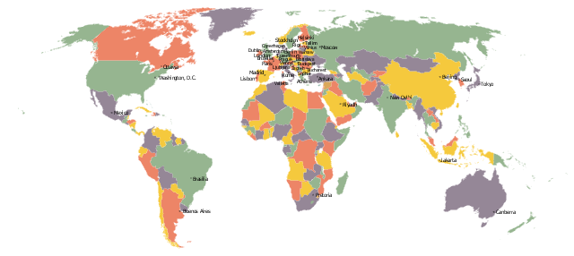
The vector stencils library "Management maps" contains 44 map contours: G-20 state maps, EU state maps and world map.
Use it to create your management infogram in the ConceptDraw PRO diagramming and vector drawing software.
The state map contours example "Management maps - Vector stencils library" is included in the solution "Marketing infographics" from the "Business infographics" area of ConceptDraw Solution Park.
The vector stencils library "Education maps" contains 44 map contours: G-20 state maps, EU state maps and world map.
Use it to visualize geospatial information in your education infograms.
The vector stencils library "Education maps" is included in the Education Infographics solution from the Business Infographics area of ConceptDraw Solution Park.
Use it to visualize geospatial information in your education infograms.
The vector stencils library "Education maps" is included in the Education Infographics solution from the Business Infographics area of ConceptDraw Solution Park.
Map of USA
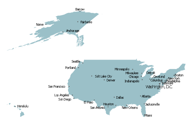
It is impossible to imagine modern life and science without maps, they surround us anywhere, they are used in geography, history, politics, economics, and many other fields of science. ConceptDraw PRO diagramming and vector drawing software offers the USA Maps Solution from the Maps Area of ConceptDraw Solution Park with its collection of samples and libraries for easy drawing the Map of USA.USA Map
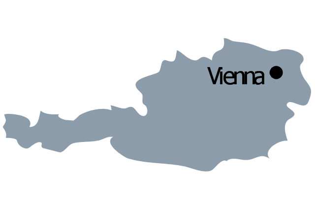
Usually designing of maps, including the USA Map is a quite complex, long and labour-intensive process. But now we have an excellent possibility to make it easier with ConceptDraw PRO diagramming and vector drawing software extended with powerful USA Maps Solution from the Maps Area of ConceptDraw Solution Park.Geo Map - Europe - Austria
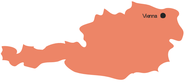
The vector stencils library Austria contains contours for ConceptDraw PRO diagramming and vector drawing software. This library is contained in the Continent Maps solution from Maps area of ConceptDraw Solution Park.Geo Map - Europe - Denmark
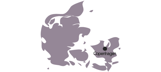
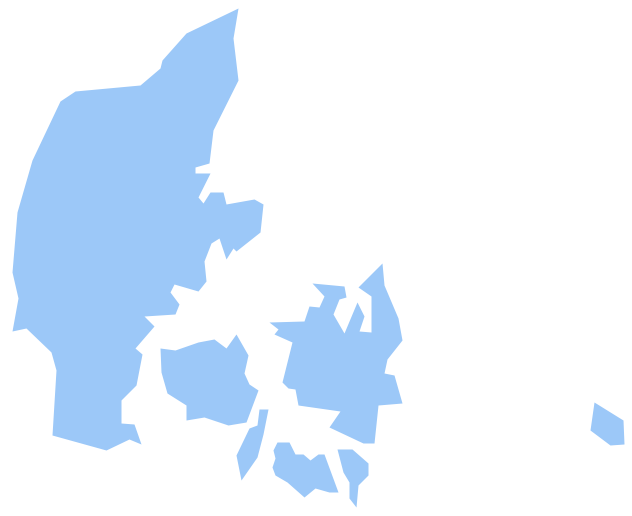
The vector stencils library Denmark contains contours for ConceptDraw PRO diagramming and vector drawing software. This library is contained in the Continent Maps solution from Maps area of ConceptDraw Solution Park.Geo Map - Europe - Montenegro
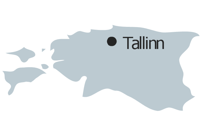
The vector stencils library Montenegro contains contours for ConceptDraw PRO diagramming and vector drawing software. This library is contained in the Continent Maps solution from Maps area of ConceptDraw Solution Park.Geo Map - Europe - Estonia
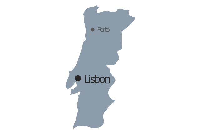
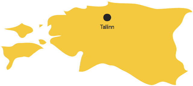
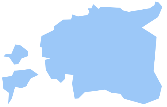
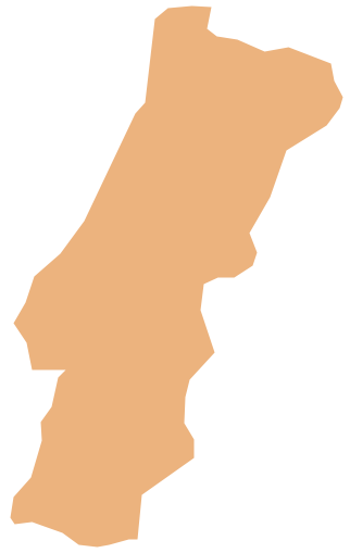
The vector stencils library Estonia contains contours for ConceptDraw PRO diagramming and vector drawing software. This library is contained in the Continent Maps solution from Maps area of ConceptDraw Solution Park.Geo Map - Europe - Portugal
The vector stencils library Portugal contains contours for ConceptDraw PRO diagramming and vector drawing software. This library is contained in the Continent Maps solution from Maps area of ConceptDraw Solution Park.Map of England
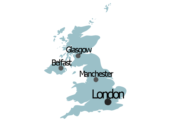
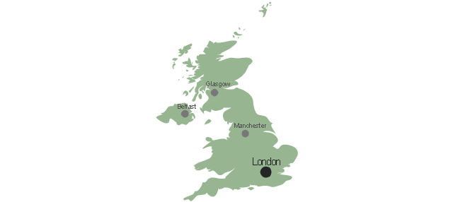
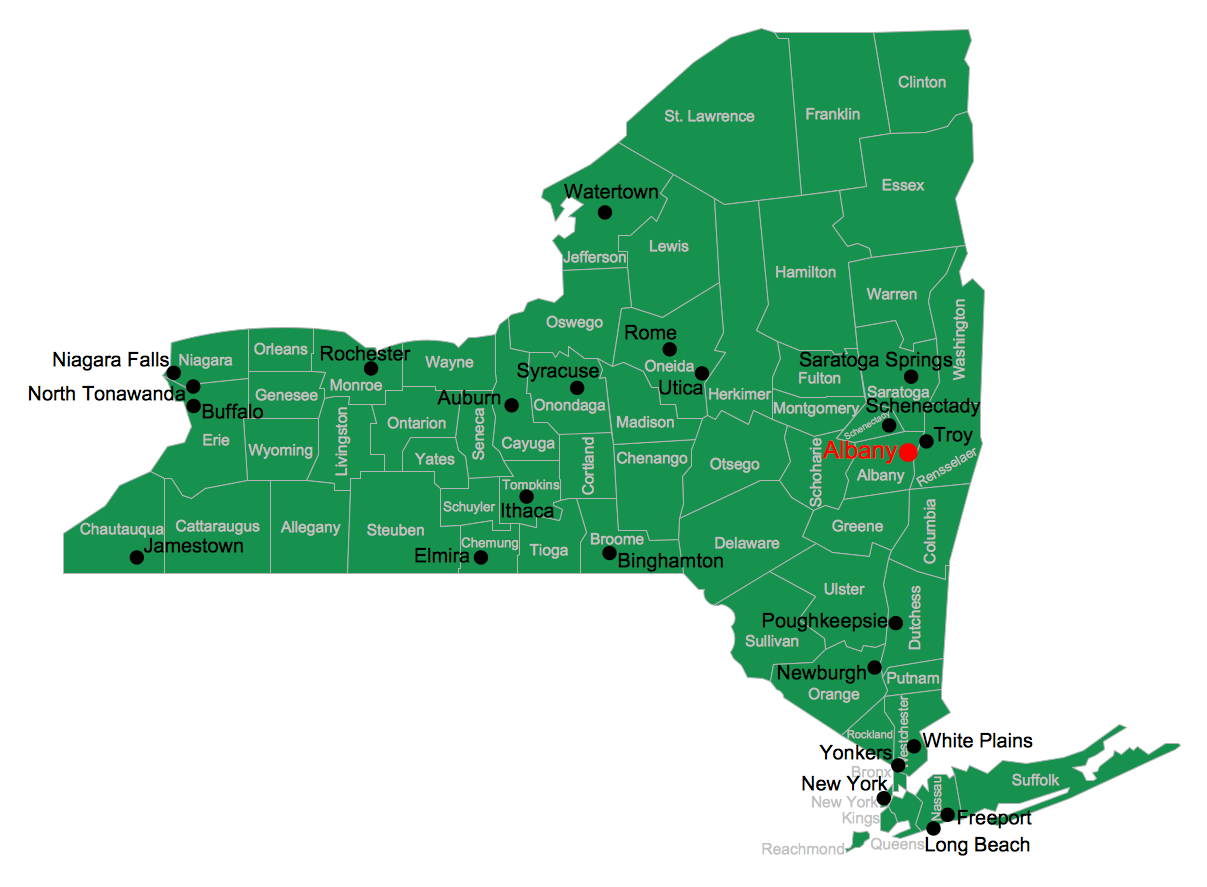
England is a country that is part of the United Kingdom. It shares land borders with Scotland to the north and Wales to the west.Design of various maps, including the Map of England is usually complex and labor-intensive process. But now we have a possibility to create UK maps fast and easy thanks to the ConceptDraw PRO diagramming and vector drawing software enhanced with Map of UK Solution from the Maps Area of ConceptDraw Solution Park.
- Germany Maps Design Vector Samples
- Political map of Europe | European membership of the EU and ...
- Geo Map Software | East Africa countries map | West Africa countries ...
- Geo Map - Europe | Maghreb countries - Political map | EU 28 ...
- Geo Map - Europe - Belgium | Europe - Vector stencils library | Geo ...
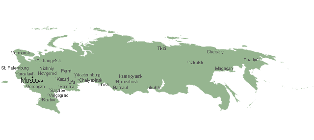
- Europe - Vector stencils library | Geo Map - Europe - Russia ...
- Africa | Maps
- European membership of the EU and NATO map | EU 28: Candidate ...
- The Flags Of Western Americas Countries
- Geo Map - Africa
- Geo Map - Africa
- Geo Map - Europe | Asia - Vector stencils library | Europe - Vector ...
- UK Map | How to Create a Map Depicting the United Kingdom ...
- Geo Map - South America - Mexico | Geo Map - USA - Arizona | Geo ...
- Geo Map - Africa
- Central Asia political map | Political map of Central America ...
- Geo Map - Europe - United Kingdom | UK Map | Europe - Vector ...
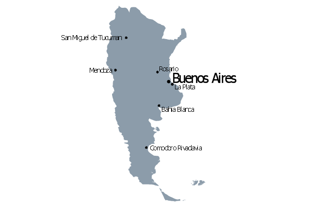
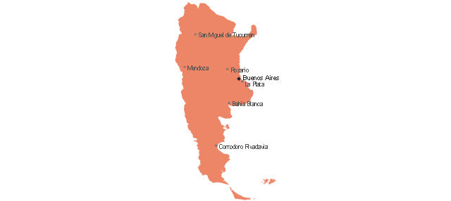
- Geo Map - South America - Argentina | Argentina in South America ...
- Continent Maps | Map of Continents | World Continents Map ...
- Political map of Central America | Political map of Asia | Central Asia ...
