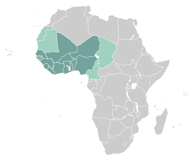
"West Africa, also called Western Africa and the West of Africa, is the westernmost region of the African continent. In line with the current membership of the Economic Community of West African States (ECOWAS), West Africa has been defined in Africa as including the fifteen countries of Benin, Burkina Faso, Cape Verde, Gambia, Ghana, Guinea, Guinea-Bissau, Ivory Coast, Liberia, Mali, Niger, Nigeria, Senegal, Sierra Leone and Togo." [West Africa. Wikipedia]
This example West Africa countries map was redesigned from the Wikimedia Commons file: Afryka Zachodnia.png.
[commons.wikimedia.org/ wiki/ File:Afryka_ Zachodnia.png]
The political map example "West Africa countries" was created using ConceptDraw PRO diagramming and vector drawing software extended with the Continent Map solution from the Maps area of ConceptDraw Solution Park.
Political map - West Africa
- West Africa Countries Map
- West Africa Map Png
- West Africa Continent
- East Africa - Political map | West Africa countries | Geo Map - Africa ...
- Geo Map - Africa - Nigeria | West Africa countries | Africa - Vector ...
- Which Countries Are In Africa
- East Africa - Political map | Geo Map - Asia - Papua New Guinea ...
- Map Of Nigeria Png
- Bar Diagrams for Problem Solving. Create economics and financial ...
- Geo Map - Africa
- Geo Map - Europe | Geo Map - South America Continent | Geo Map ...
- Geo Map - Africa
- Geo Map - Europe | Geo Map - Asia | Geo Map - South America ...
- Geo Map - Africa - Guinea Bissau | Geo Map - Asia - Papua New ...
- Geo Map - Africa | Map of the African Union with Suspended States ...
- Geo Map - Europe | Maghreb countries - Political map | Geo Map ...
- Niger