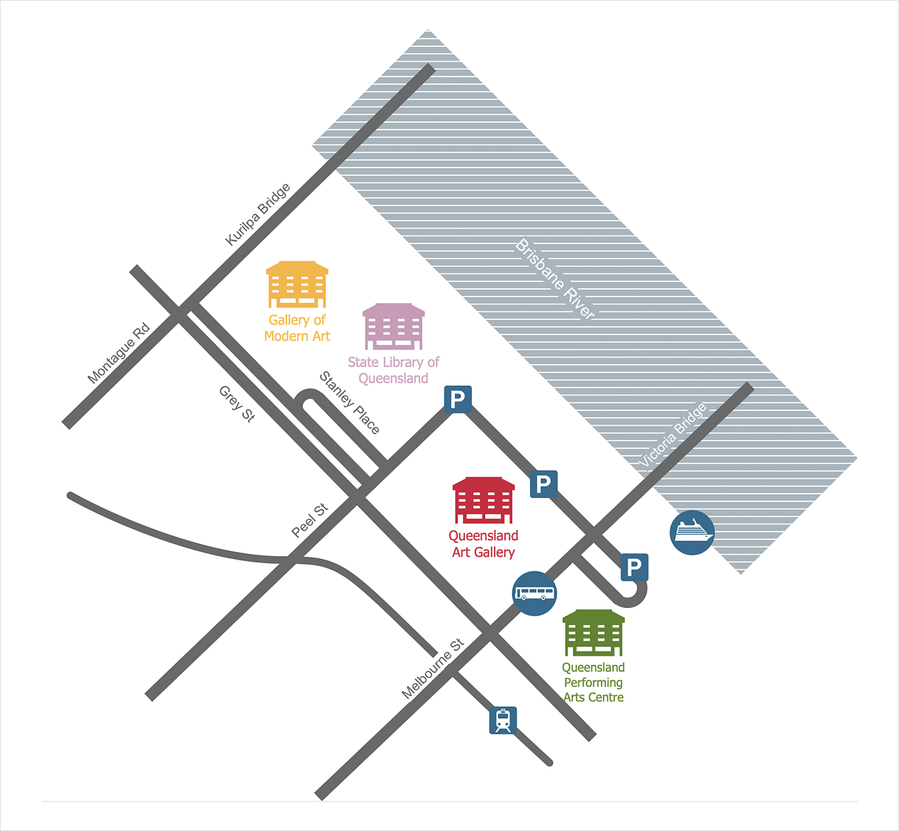
How to Create a Directional Map
ConceptDraw DIAGRAM allows you to create various kinds of directional maps. You can easily visualize city maps or destinations with driving directions and traveler information using special vector stencils libraries. Ability to create directional maps in ConceptDraw DIAGRAM is contained in the Directional Maps solution. This solution extends ConceptDraw DIAGRAM with 10 libraries that contain 337 vector shapes that can be used when drawing directional maps.
- Run ConceptDraw DIAGRAM.
- Find the Directional Maps item in the Solutions panel.
- Doubleclick the preview of a needed library to open it in the Library panel.
- Set the measurement units and scale for your drawing using the Unit tab (Mac), or Settings tab (PC) of the Document Properties dialog.

- Add the map elements to the drawing by dragging them from the library to the document page.
- You can use a multiple layers when creating different parts of your map. ConceptDraw DIAGRAM allows you to create as many layers as you need.

- Use the Line, Fill, Shadow and Text tools to complete your drawing.

Result: Simple and clear map, published on the website can be very useful to show the location of the office for your customers and partners.

|
How it works:
- Set of special objects that displays the sizes, corners, and squares.
- Customizable measurement units.
- Collection of professional samples.
Useful Solutions and Products:
- Easily draw charts and diagrams.
- Visualize business information
- Block Diagrams
- Bubble Diagrams
- Circle-Spoke Diagrams
- Circular Arrows Diagrams
- Concept Maps
- Flowcharts
- Venn Diagrams
- Scale drawing tools.
- Easily draw continental, directional, road, or transit maps.
- Visually communicate geographical, location, and route information
- Floor plans
- Building Plans
- Engineering drawings
- Over 1400 building plan elements
- Export to vector graphics files
- Export to Adobe Acrobat® PDF
- Export to MS PowerPoint®
- Export to MS Visio® VSDX, VDX
|


 Business-specific Drawings