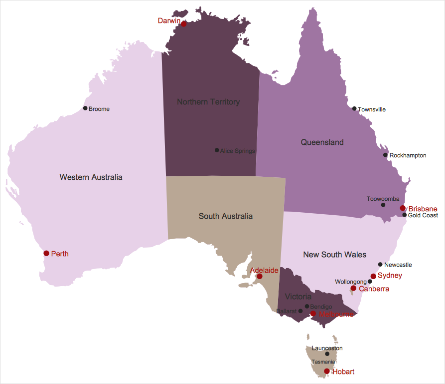
How to Draw Maps of AustraliaGeographical thematic maps are used to display information on a variety of subjects. It is a common way of representing any form of spatial data in relation to a specific geographical area. ConceptDraw's Australia Map solution is a paid add-on for ConceptDraw DIAGRAM that provides users with a collection of library objects and sample drawings to help illustrators create maps showing all of Australia‘s states and territories — from the Coral Coast to the Gold Coast, Darwin to Melbourne; to the outback and beyond.


Result: You can quickly create geographic maps, cartograms, and thematic maps to help visualize geospatial data. |
How it works:
Useful Solutions and Products:
|
 Business-specific Drawings