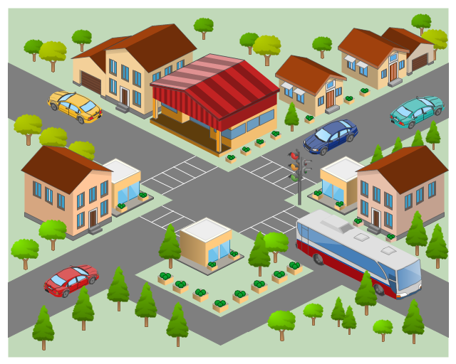
The 3D pictorial street maps are used as road maps, route maps, locator maps, transit maps, directional maps, tourist maps with points of interest (POI).
"A point of interest, or POI, is a specific point location that someone may find useful or interesting. ...
Most consumers use the term when referring to hotels, campsites, fuel stations or any other categories used in modern (automotive) navigation systems. ...
The term is widely used in cartography, especially in electronic variants including GIS, and GPS navigation software. In this context the synonym waypoint is common.
A GPS point of interest specifies, at minimum, the latitude and longitude of the POI, assuming a certain map datum. A name or description for the POI is usually included, and other information such as altitude or a telephone number may also be attached. GPS applications typically use icons to represent different categories of POI on a map graphically." [Point of interest. Wikipedia]
The example "3D pictorial street map" was created using the ConceptDraw PRO diagramming and vector drawing software extended with the Directional Maps solution from the Maps area of ConceptDraw Solution Park.
Network Drawing Software
ConceptDraw Network Drawing Software - Network design software for network drawings with abundant examples and templates. Create computer network designs, diagrams and schematics using ConceptDraw.
Network Layout
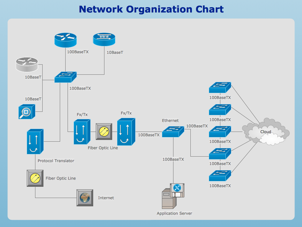
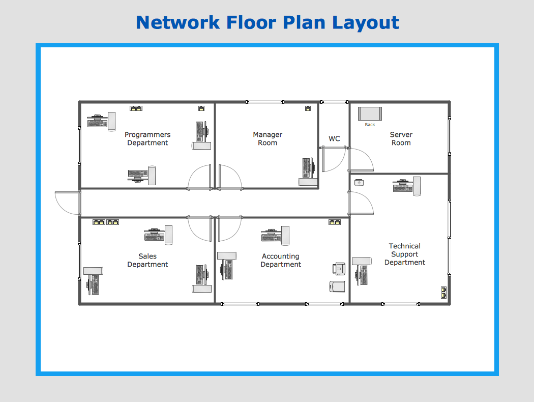
The Network Layout Diagram visually illustrates the arrangement of computers, nodes and other network appliances, such as servers, printers, routers, switches, hubs, and their relationships between each other. The network layout and placement of servers greatly influence on the network security and network performance. Elaboration of robust Network Layout Diagram is especially important when visualizing already existing network in order to understand its complexity; when troubleshooting the network issues; designing, documenting and implementing new network configurations; extending, modifying, or moving an existing network to other location. Through the careful thinking the network plan and designing the clear Network Layout Diagram, you can be confident in result on the stage of network implementation and to solve faster the problems appearing in network infrastructure. ConceptDraw DIAGRAM enhanced with Computer Network Diagrams solution from Computer and Networks area perfectly suits for drawing Network Layout Diagrams for different network topologies.
Network Diagramming Software for Network Active Directory Diagrams
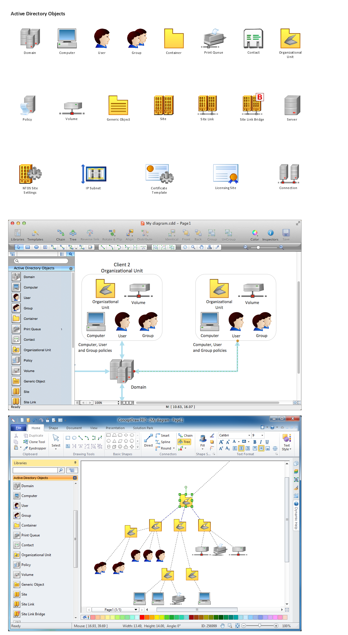
ConceptDraw DIAGRAM is perfect for software designers and software developers who need to draw Network Active Directory Diagrams.
- Directional Maps | Directions Maps | 3D Network Diagram Software ...
- Maps | Directional Maps | Maps and Directions | How To Draw 3d Map
- Directions Maps | Directional Maps | 3d Neighborhood Plan Drawing
- Road Map Drawing Software
- 3d Mapping Software
- 3d Map Of Route Drawing
- 3d Drawing Of A Route
- 3D pictorial road map | How to draw Metro Map style infographics ...
- Directional Map Drawing Software
- 3D pictorial street map | Components of ER Diagram | Network ...
- Draw 3d Directional Map
- Software To Draw Plan And Road Map
- 3D Network Diagram Software | Directional Maps | 3D Network ...
- 3 D Drawing Software
- Directional Maps | Maps | Map Directions | Road Maps
- Software Drawing Directional Map
- 3D pictorial street map | Neighborhood Street Drawing
- Free 3d Kitchen Design Software
- Directional Maps | How to Create a Directional Map Using ...


