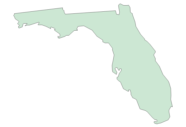
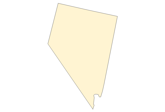
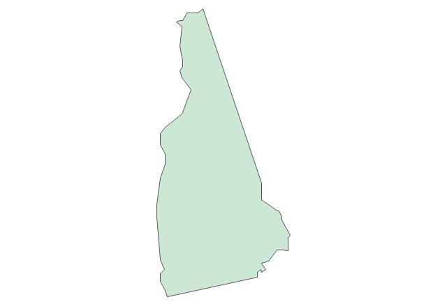
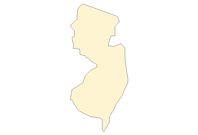
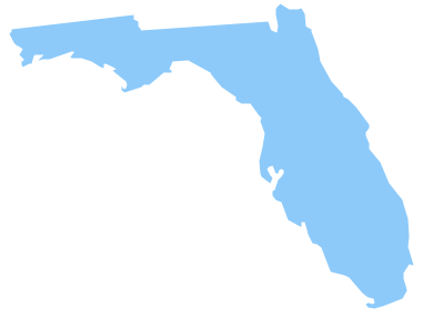
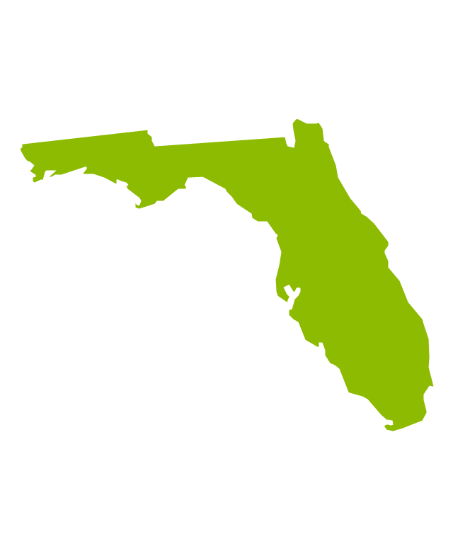
Geo Map — USA — Florida
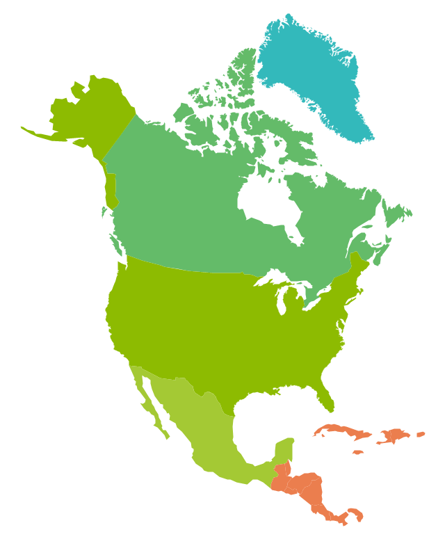
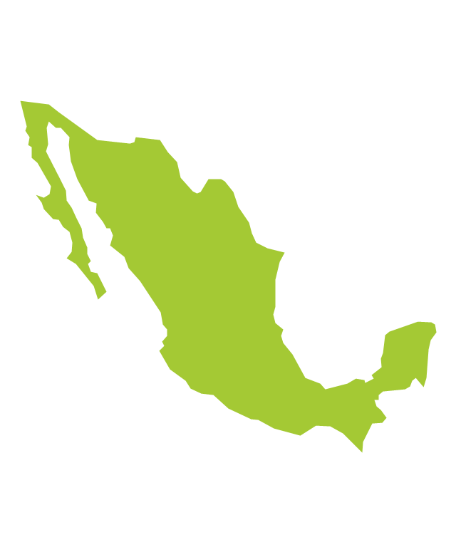
Florida is a state in the southeastern region of the United States, bordered to the west by the Gulf of Mexico, to the north by Alabama and Georgia, to the east by the Atlantic Ocean, and to the south by the Straits of Florida. The vector stencils library Florida contains contours for ConceptDraw DIAGRAM diagramming and vector drawing software. This library is contained in the Continent Maps solution from Maps area of ConceptDraw Solution Park.The vector stencils library "North America" contains 70 contours for drawing thematic maps of North America in spatial infographics.
Use it for visual representation of geospatial information, statistics and quantitative data in the ConceptDraw PRO diagramming and vector drawing software extended with the Spatial Infographics solution from the area "What is Infographics" of ConceptDraw Solution Park.
Use it for visual representation of geospatial information, statistics and quantitative data in the ConceptDraw PRO diagramming and vector drawing software extended with the Spatial Infographics solution from the area "What is Infographics" of ConceptDraw Solution Park.
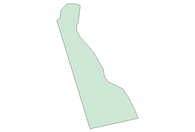
Geo Map - USA - Delaware
Delaware is a U.S. state located on the Atlantic Coast in the Northeastern and Mid-Atlantic regions of the United States. The vector stencils library Delaware contains contours for ConceptDraw DIAGRAM diagramming and vector drawing software. This library is contained in the Continent Maps solution from Maps area of ConceptDraw Solution Park.The vector stencils library "North America" contains 70 contours for drawing thematic maps of North America in spatial infographics.
Use it for visual representation of geospatial information, statistics and quantitative data in the ConceptDraw PRO diagramming and vector drawing software extended with the Spatial Infographics solution from the area "What is Infographics" of ConceptDraw Solution Park.
Use it for visual representation of geospatial information, statistics and quantitative data in the ConceptDraw PRO diagramming and vector drawing software extended with the Spatial Infographics solution from the area "What is Infographics" of ConceptDraw Solution Park.
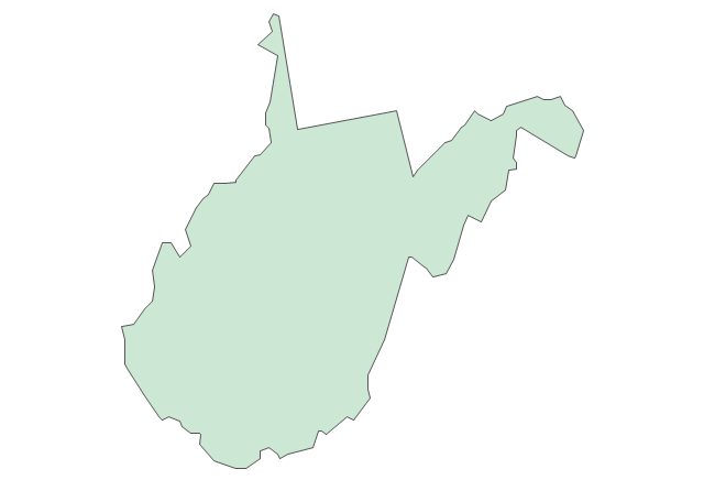
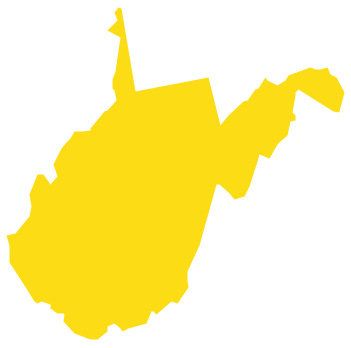
Geo Map - USA - West Virginia
West Virginia is a U.S. state located in the Appalachian region of the Southern United States. The vector stencils library West Virginia contains contours for ConceptDraw DIAGRAM diagramming and vector drawing software. This library is contained in the Continent Maps solution from Maps area of ConceptDraw Solution Park.The vector stencils library "United States of America" contains 53 state map contours for drawing thematic maps of USA.
Use it for visual representation of geospatial information, statistics and quantitative data.
The state map contours example "United States of America - Vector stencils library" was created using the ConceptDraw PRO diagramming and vector drawing software extended with the Continent Maps solution from the Maps area of ConceptDraw Solution Park.
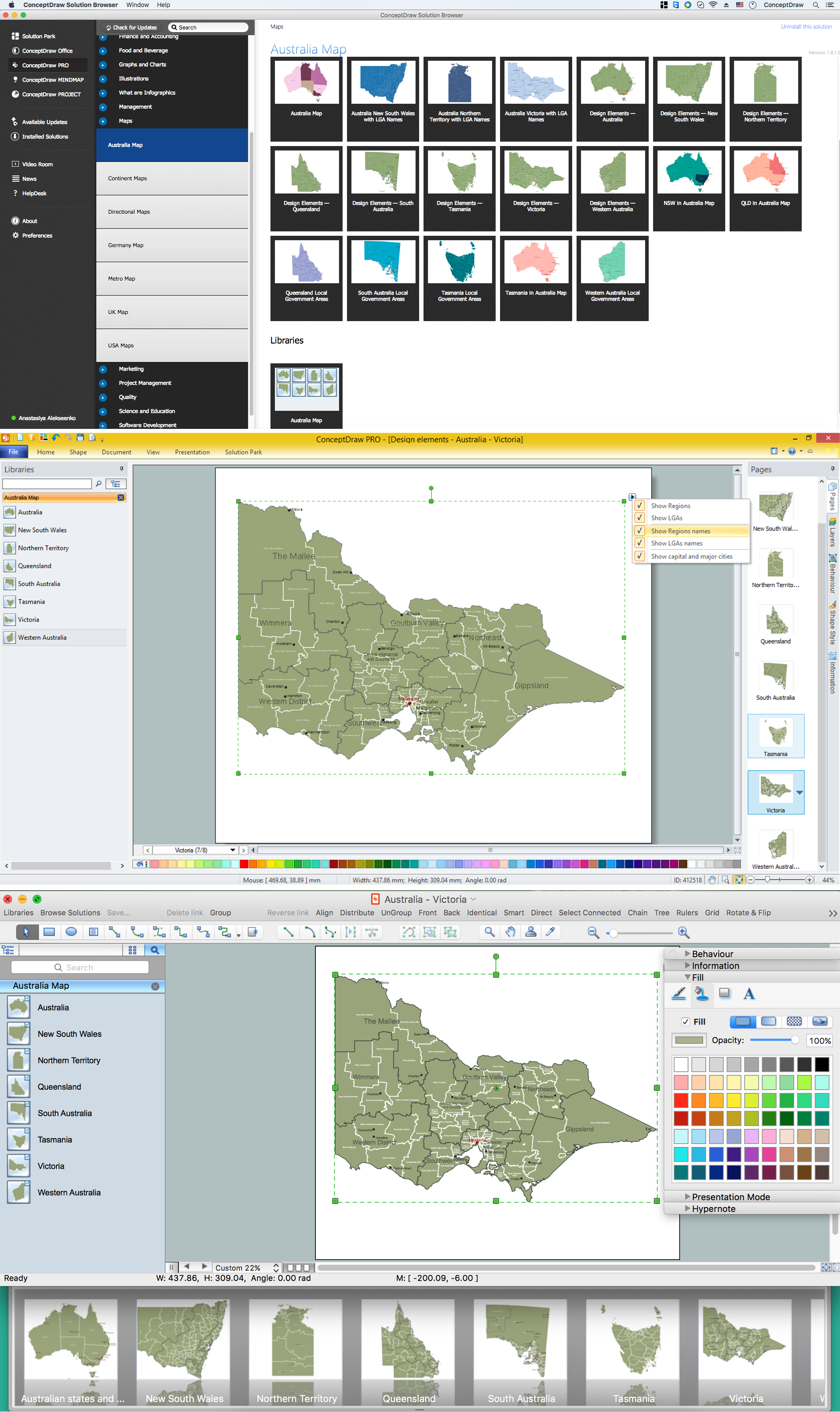
Australia Map — Victoria
Victoria (abbreviated as Vic) is a state in the south-east of Australia. Victoria is Australia's most densely populated state and its second-most populous state overall. Maps surround us everywhere in our life, study, work, traveling, they are widely used in geography, history, politics, economics, and many other fields of science and life activity. But designing of maps is usually complex and labor-intensive process. Now we have the possibility to make easier this process - ConceptDraw DIAGRAM diagramming and vector drawing software extended with Australia Map Solution from the Maps Area of ConceptDraw Solution Park will help us in easy drawing detailed Australia map.Geo Map — United States of America Map
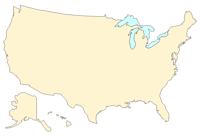
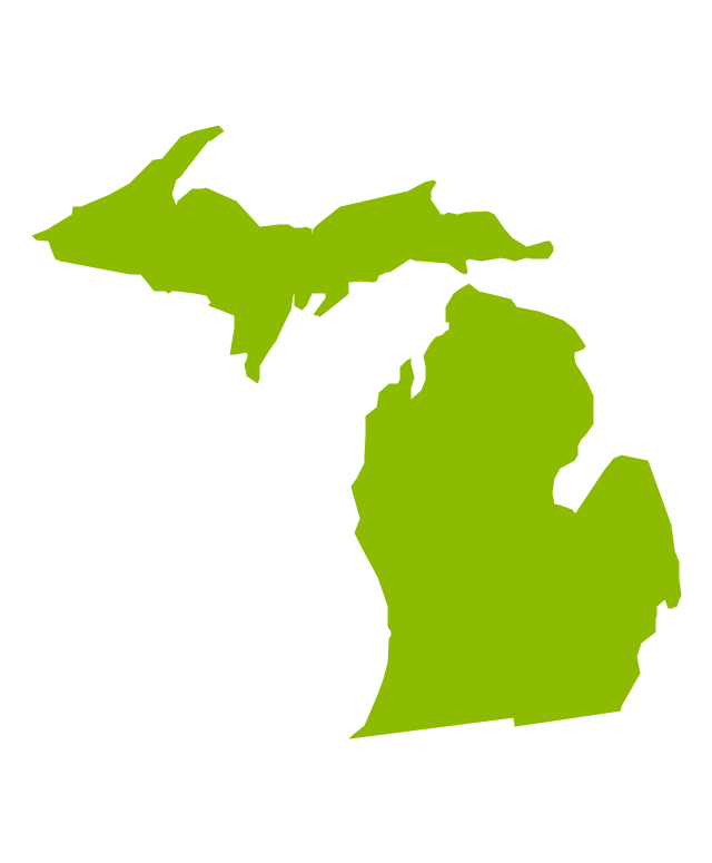
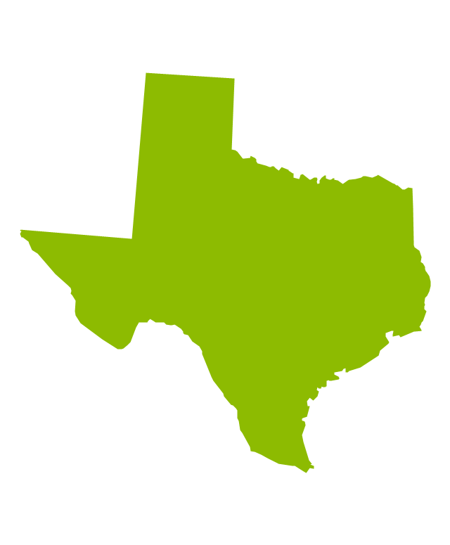
United States of America (USA) is a federal republic that includes 50 states and a federal district. It is the third largest country by population, fourth by the total area, and one of the most diverse in respect of nationalities and cultures. ConceptDraw DIAGRAM software extended with Continent Maps solution is ideal to draw professional looking Geological map of United States of America, USA map with states, the separate maps of different states of America, thematic maps, geospatial infographics, and varied vector illustrations for your business documents, presentations and websites. Use the pre-designed vector geo map shapes offered by numerous libraries, in particular by the United States of America library that contains 53 United States of America map contours. Each map is scaled, with the option to add the further levels of detail, thus the county borders, their names, capitals, and major cities can be instantly shown or hidden using the Action menu for each state map. ConceptDraw DIAGRAM software gives you a full control over the map size, shading, color fills and alignment.
 USA Maps
Use the USA Maps solution to create a map of USA, a US interstate map, printable US maps, US maps with cities and US maps with capitals. Create a complete USA states map.
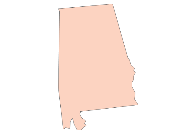
Geo Map - USA - Alabama
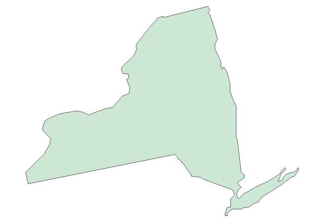
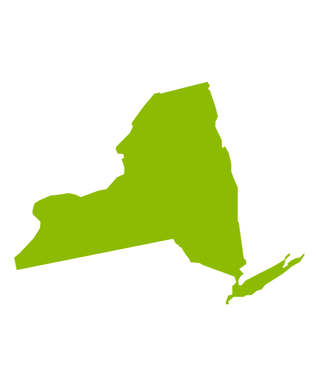
Alabama is a state located in the southeastern region of the United States. The vector stencils library Alabama contains contours for ConceptDraw DIAGRAM diagramming and vector drawing software. This library is contained in the Continent Maps solution from Maps area of ConceptDraw Solution Park.Geo Map - USA - New York
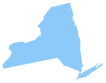
New York is a state in the Northeastern and Mid-Atlantic regions of the United States. The vector stencils library New York contains contours for ConceptDraw DIAGRAM diagramming and vector drawing software. This library is contained in the Continent Maps solution from Maps area of ConceptDraw Solution Park.Geo Map — USA — Mississippi
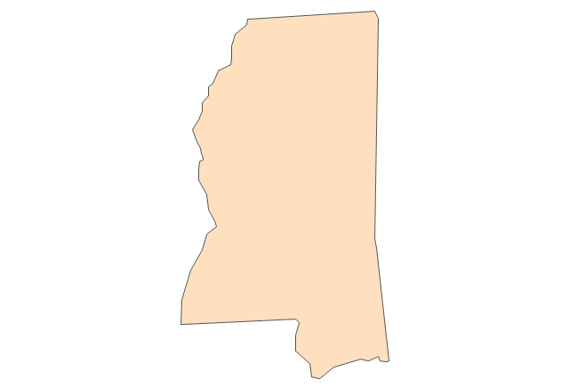
Mississippi is a U.S. state located in the Southern United States. The vector stencils library Mississippi contains contours for ConceptDraw DIAGRAM diagramming and vector drawing software. This library is contained in the Continent Maps solution from Maps area of ConceptDraw Solution Park.This wheel diagram sample illustrates the emergency preparedness training and exercise processes. It was designed on the base of the diagram on the webpage "Public Health Preparedness Training and Exercise" from the FloridaHealth website of the Florida Department of Health. [floridahealth.gov/ programs-and-services/ emergency-preparedness-and-response/ training-exercise/ ]
"Emergency Preparedness is the discipline of dealing with and avoiding both natural and manmade disasters. It involves mitigation, preparedness, response and recovery in order to lessen the impact of disasters. Emergency management requires a partnership among all levels of government (local, State, and Federal) and the private sector (business and industry, voluntary organizations, and the public). Successful preparedness requires detailed planning and cooperation among each sector." [Emergency Preparedness. Wikipedia]
The arrow donut chart example "Training and exercise process wheel" was created using the ConceptDraw PRO diagramming and vector drawing software extended with the Circular Arrows Diagrams solution from the area "What is a Diagram" of ConceptDraw Solution Park.
Used Solutions
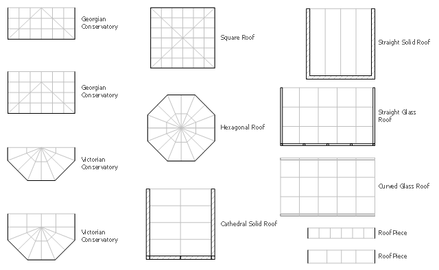
The design elements library Sunrooms contains 12 symbols of glass roof and conservatory.
Use the vector stencils library Sunrooms to draw the sunroom design plans, home layouts, architectural and construction documents.
"A sunroom, sun parlor, sun porch, or sun lounge is a structure usually constructed onto the side of a house which allows enjoyment of the surrounding landscape while being sheltered from adverse weather conditions such as rain and wind. It can be referred to as a patio room, solarium, conservatory or Florida room. The concept is popular in the United States, Europe, Canada, Australia, and New Zealand.
In Great Britain, the term conservatory is usually used to refer to a sunroom despite not being used as a greenhouse as traditional conservatories were. However, sunrooms with opaque roofs may be considered distinct from conservatories with transparent or semi-transparent roofs." [Sunroom. Wikipedia]
The shapes library Sunrooms is provided by the Floor Plans solution from the Building Plans area of ConceptDraw Solution Park.
Map of USA States
How to design USA map fast and easy? It is convenient to use special software. ConceptDraw DIAGRAM diagramming and vector drawing software includes the USA Maps Solution which was specially developed to make easier drawing process of USA Maps, Map of USA States, various USA thematic maps and cartograms.- Geo Map - United States of America Map | Geo Map - USA - Florida ...
- Geo Map - USA - Florida | United States of America - Vector stencils ...
- Geo Map - USA - Delaware | Geo Map - USA - Florida | Geo Map ...
- Geo Map - USA - Florida | State Of Flordia
- Geo Map - USA - Florida | USA Maps | How To Create Restaurant ...
- Map of USA | Map of USA States | Geo Map - USA - Florida | Visio ...
- Geo Map - USA - Florida
- Florida Drawin
- Geo Map - USA - Mississippi | Geo Map - USA - Florida | Geo Map ...
- Continent Maps | Florida Cuba High Resolution Map
- Process Flowchart | Geo Map - Africa - Malawi | Geo Map — USA ...
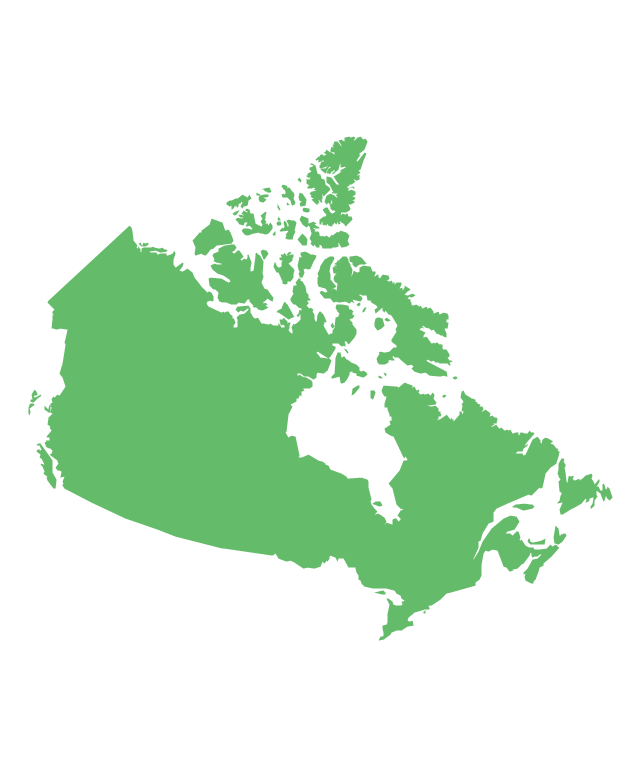
- North America - Vector stencils library
- Geo Map - USA - West Virginia
- North America map with capitals - Template | Geo Map - South ...
- Geo Map - USA - Mississippi | United States of America - Vector ...
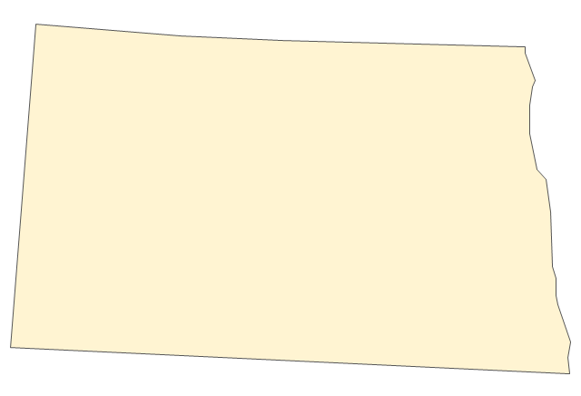
- Venn Diagrams | Pyramid Diagram | Geo Map - USA - North Dakota ...
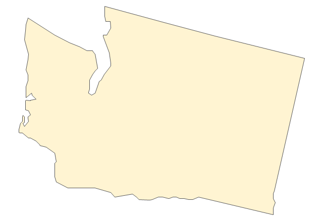
- Geo Map — USA — Washington
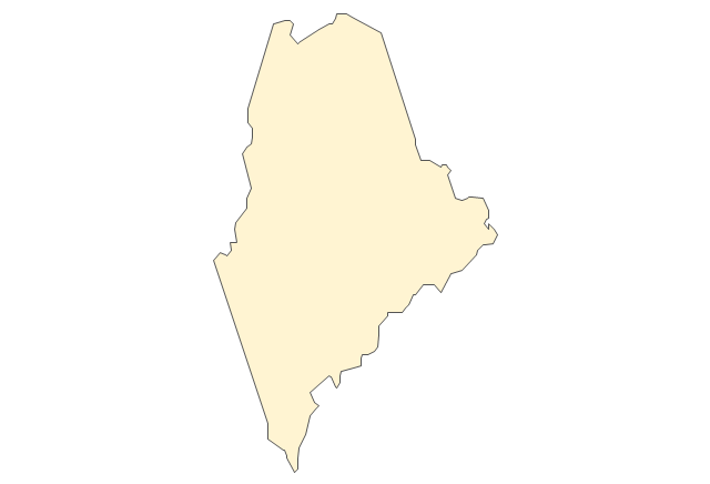
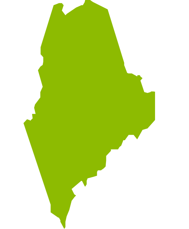
- Vector Images Of The Maine Coast
- Florida Shape Vector
-north-america---vector-stencils-library.png--diagram-flowchart-example.png)
-north-america---vector-stencils-library.png--diagram-flowchart-example.png)

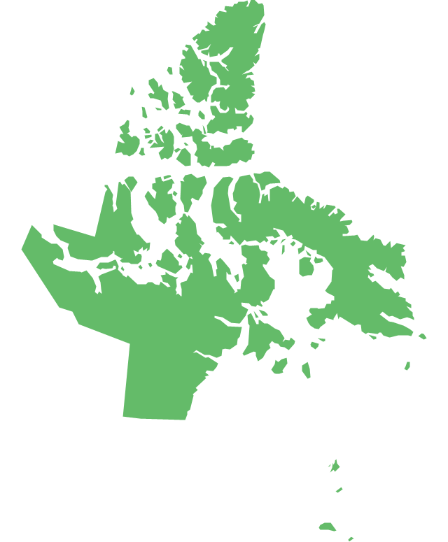
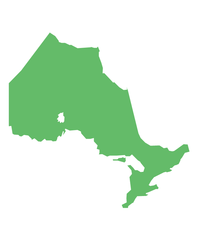

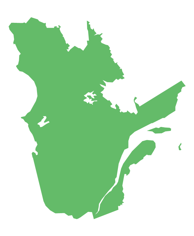



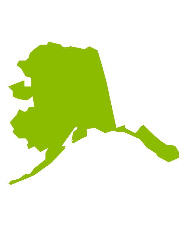



































-united-states-of-america---vector-stencils-library.png--diagram-flowchart-example.png)
