Geo Map - USA - Georgia
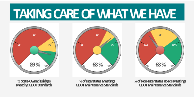
Georgia is a state located in the southeastern United States. The vector stencils library Georgia contains contours for ConceptDraw DIAGRAM diagramming and vector drawing software. This library is contained in the Continent Maps solution from Maps area of ConceptDraw Solution Park.This example was created on the base of the Georgia DOT Performance Management Dashboard from the Georgia Department of Transportation website.
[dot.ga.gov/ informationcenter/ statistics/ performance/ Pages/ default.aspx]
"Performance management (PM) includes activities which ensure that goals are consistently being met in an effective and efficient manner. Performance management can focus on the performance of an organization, a department, employee, or even the processes to build a product of service, as well as many other areas.
PM is also known as a process by which organizations align their resources, systems and employees to strategic objectives and priorities.
Performance management originated as a broad term coined by Dr. Aubrey Daniels in the late 1970s to describe a technology (i.e. science imbedded in applications methods) for managing both behavior and results, two critical elements of what is known as performance. A formal definition of performance management, according to Daniels' is "a scientifically based, data-oriented management system. It consists of three primary elements-measurement, feedback and positive reinforcement."" [Performance management. Wikipedia]
The meter dashboard example "Georgia DOT Performance Management" was created using the ConceptDraw PRO diagramming and vector drawing software extended with the Meter Dashboard solution from the area "What is a Dashboard" of ConceptDraw Solution Park.
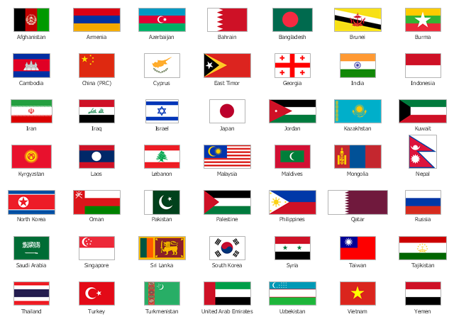
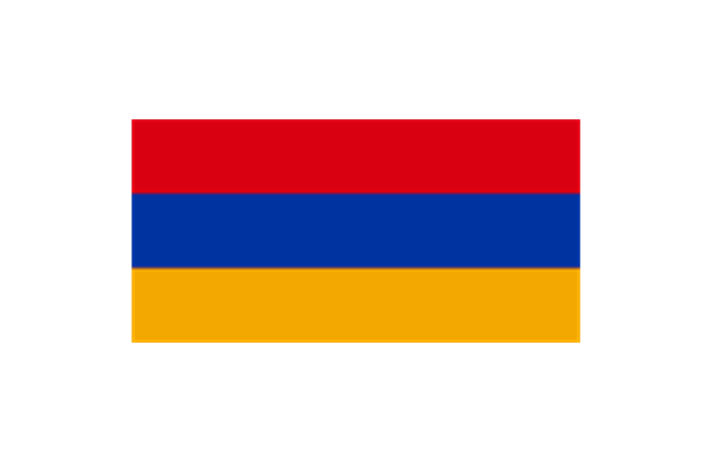
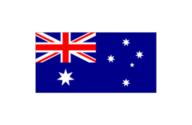
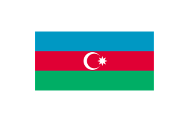
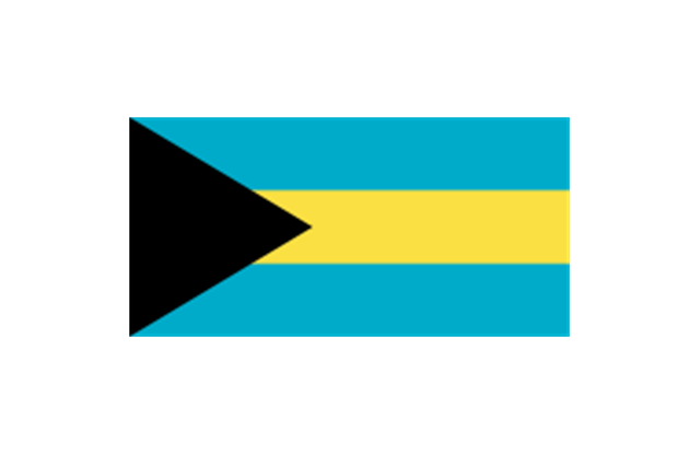
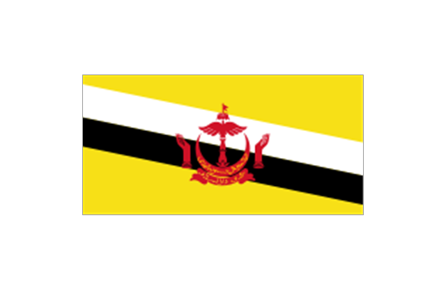
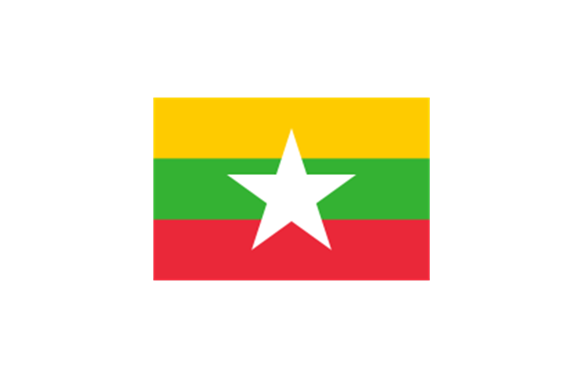
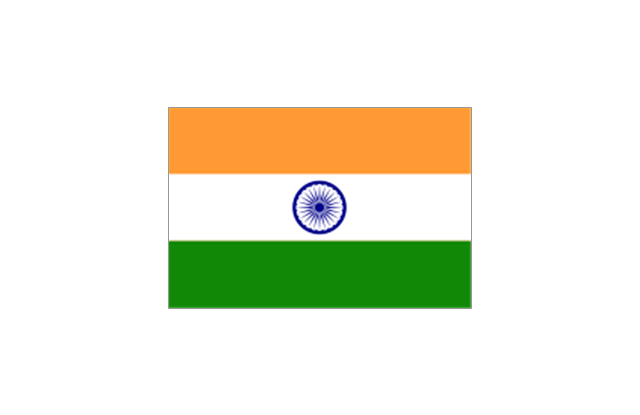
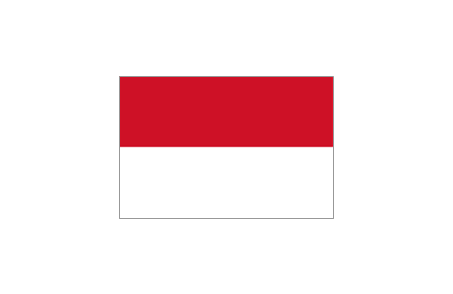
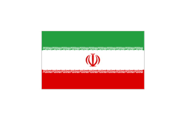
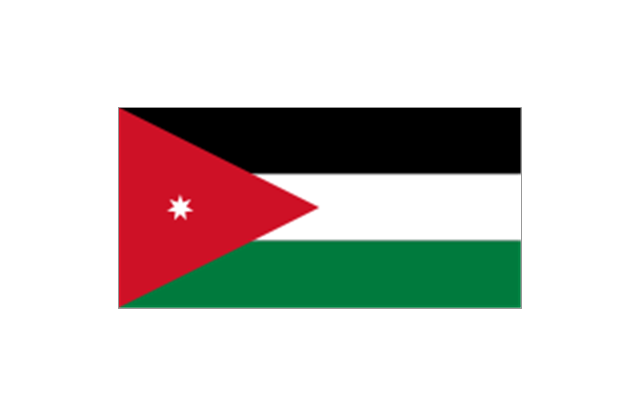
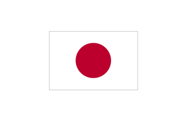
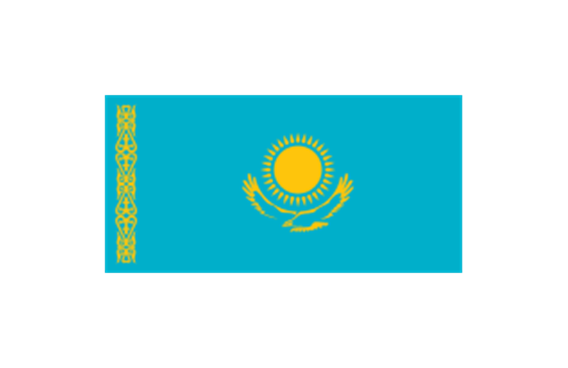
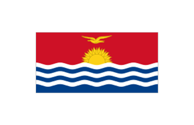
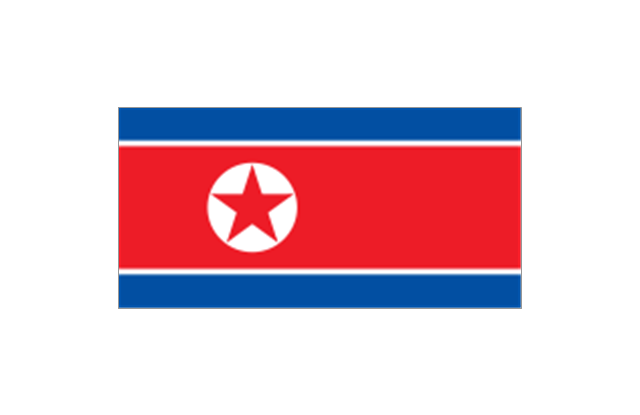
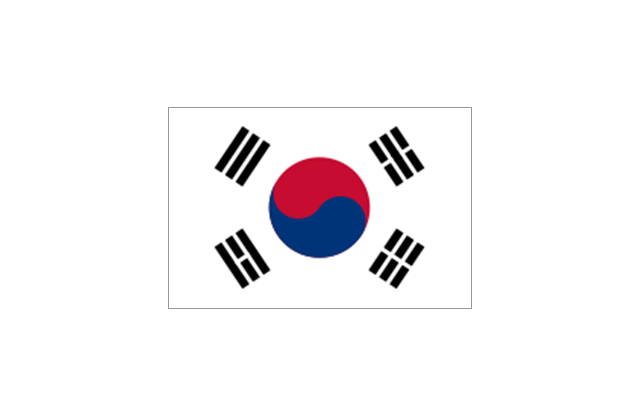
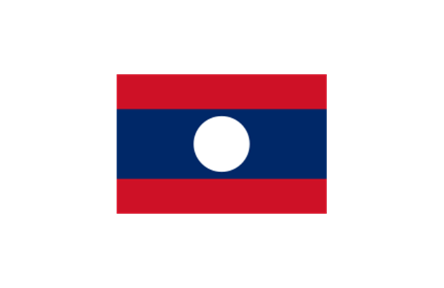
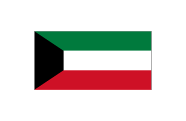
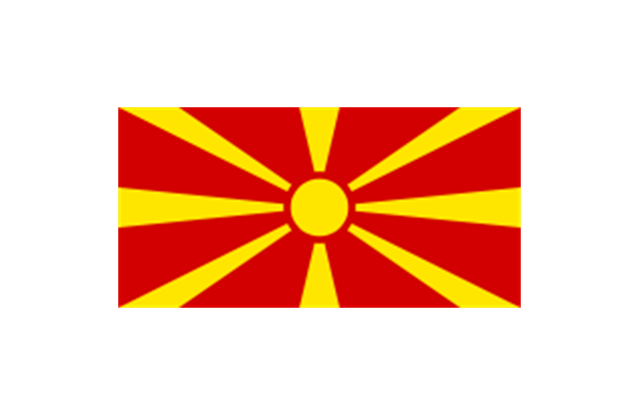
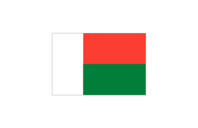
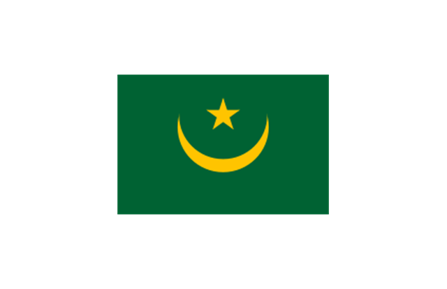
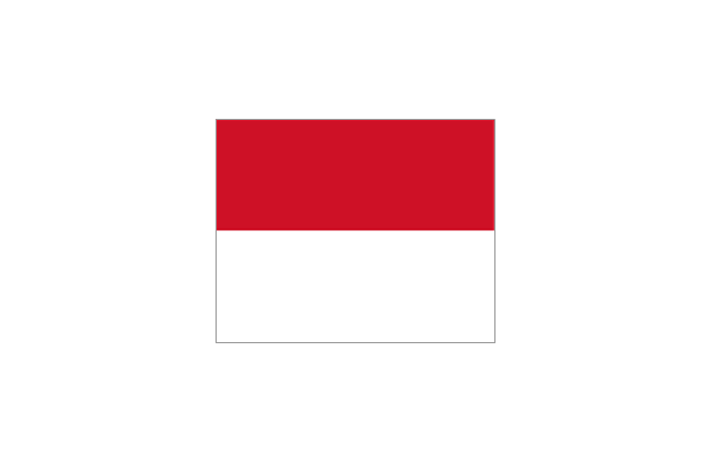
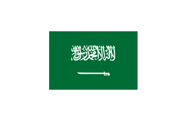
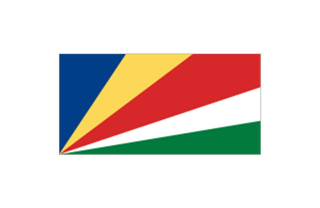
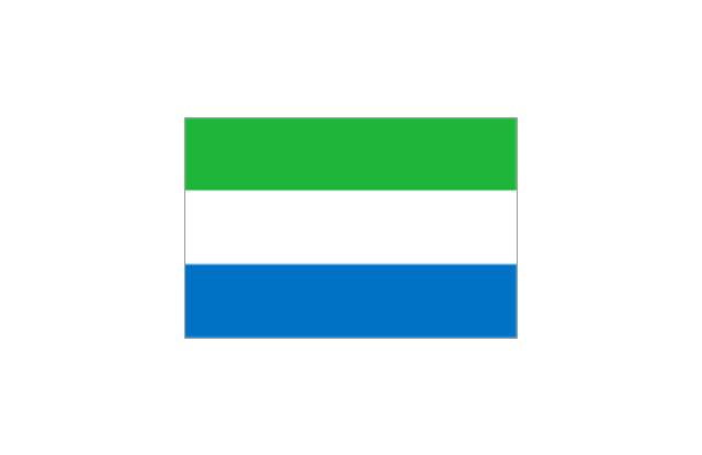
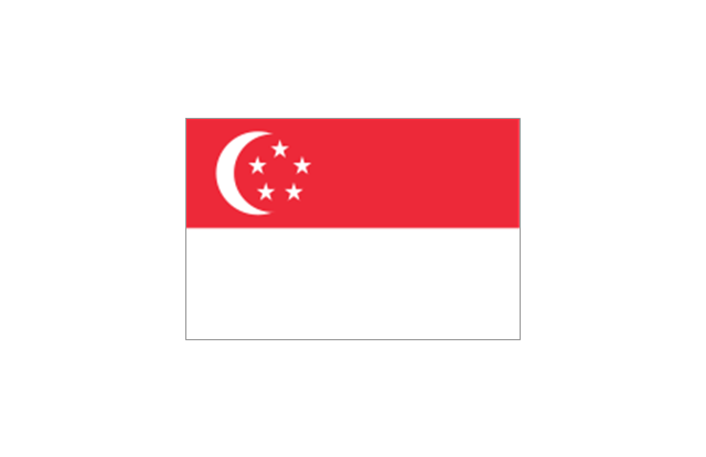
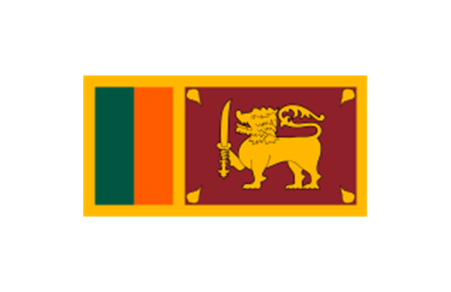
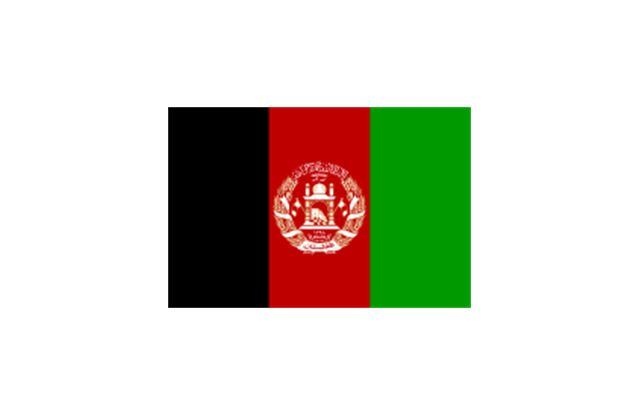
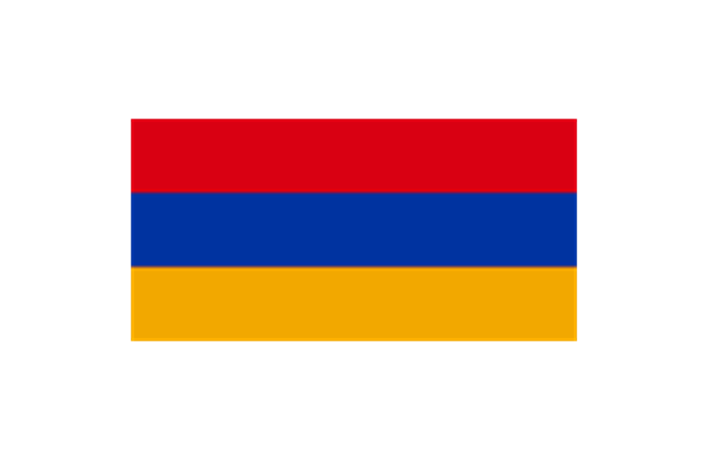
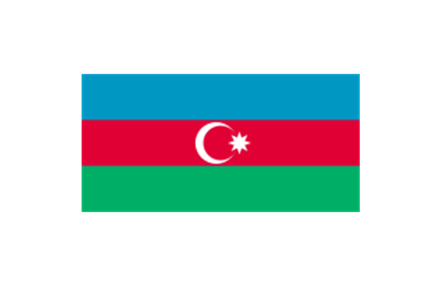
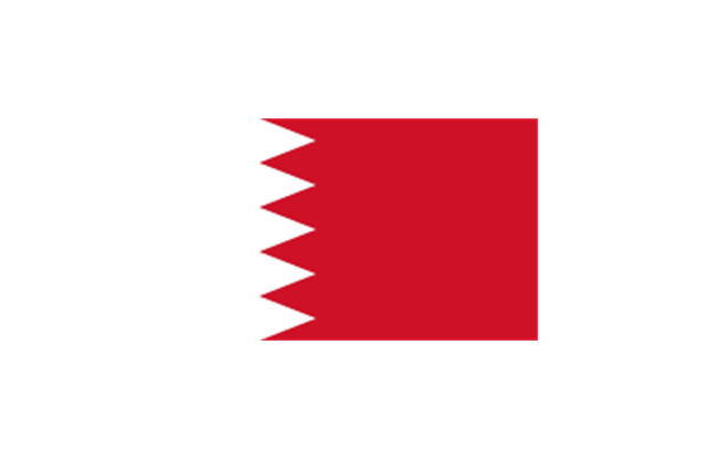
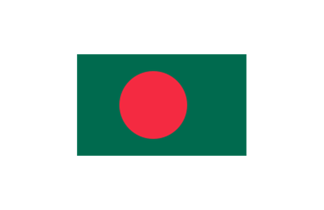
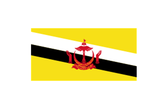
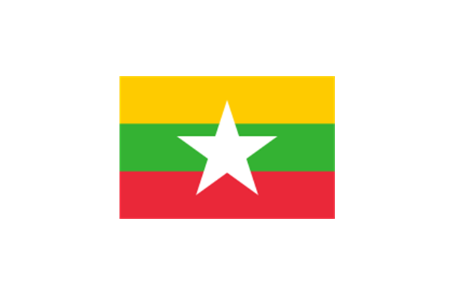
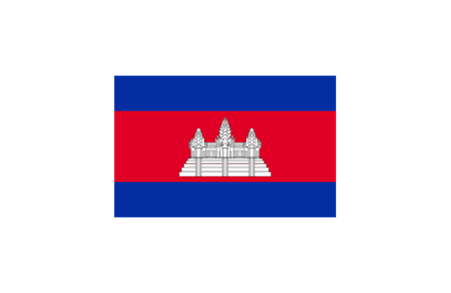
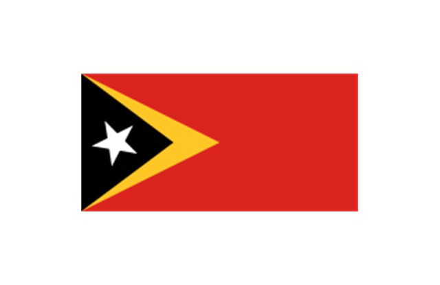
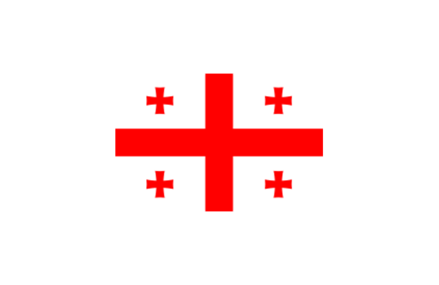
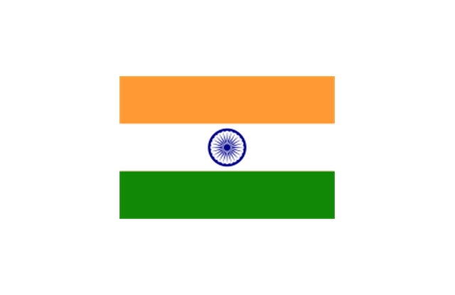
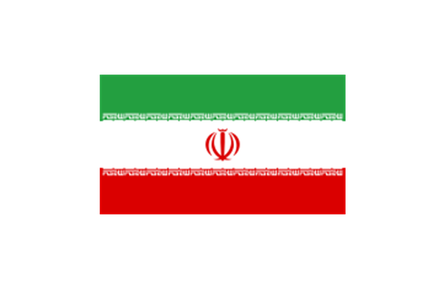
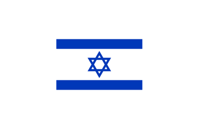
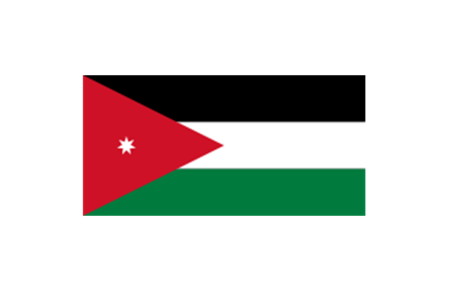
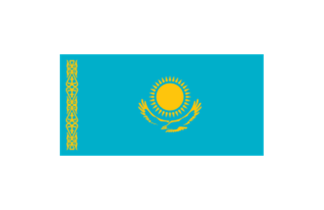
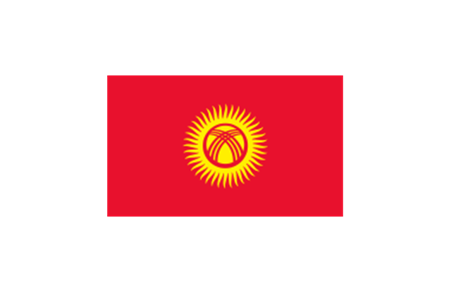
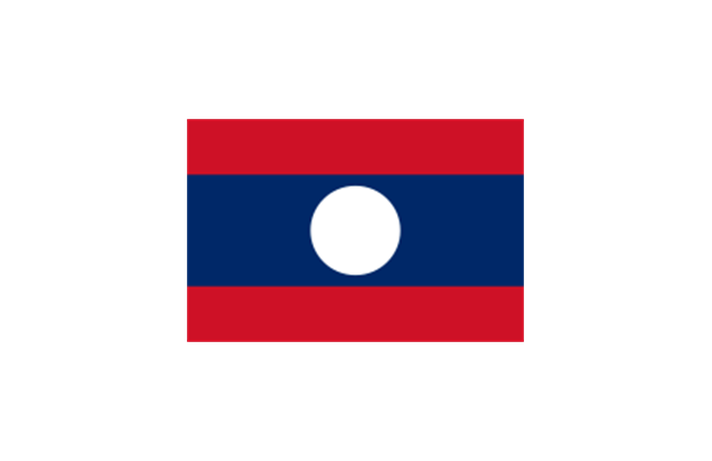
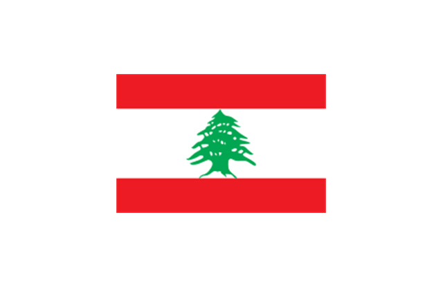
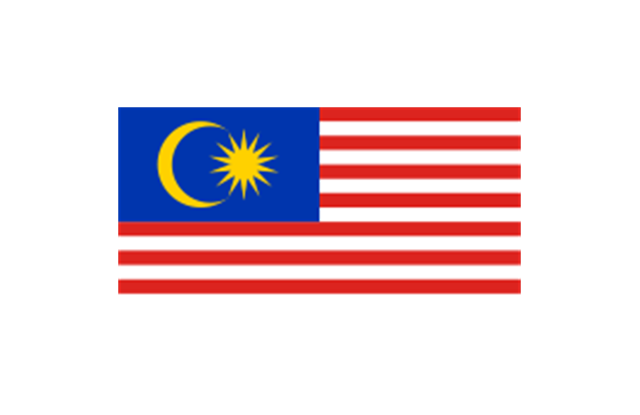
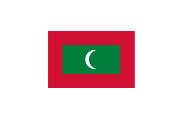
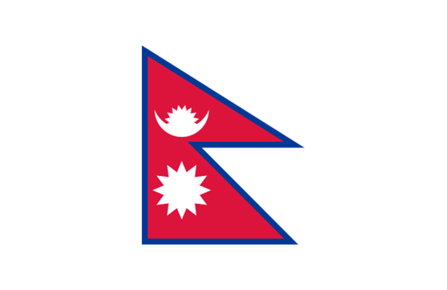
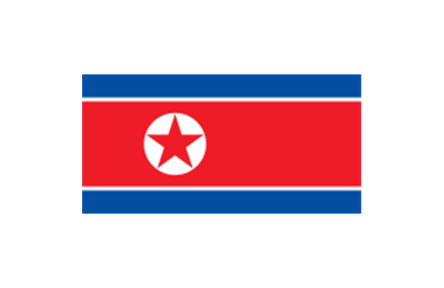
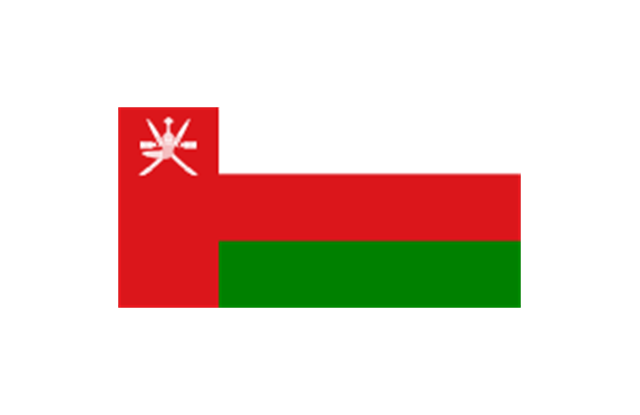
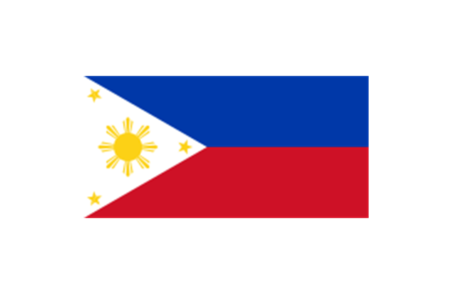
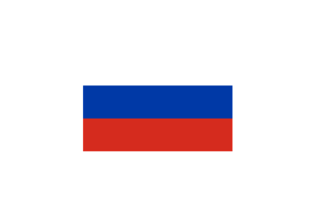
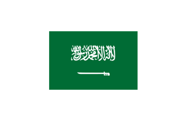
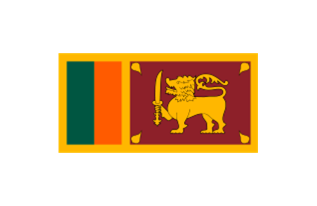
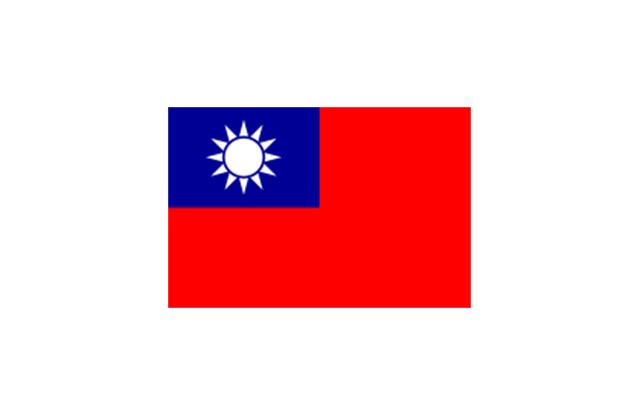
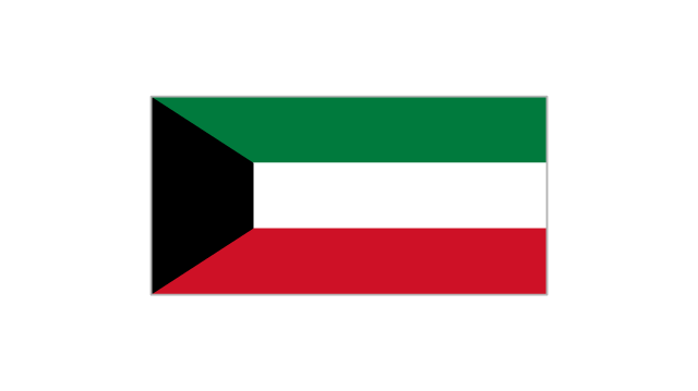
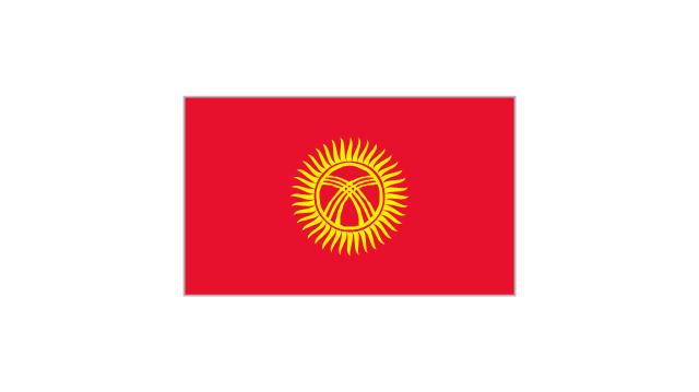
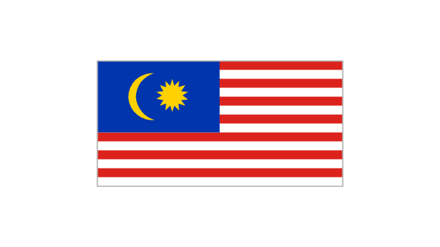
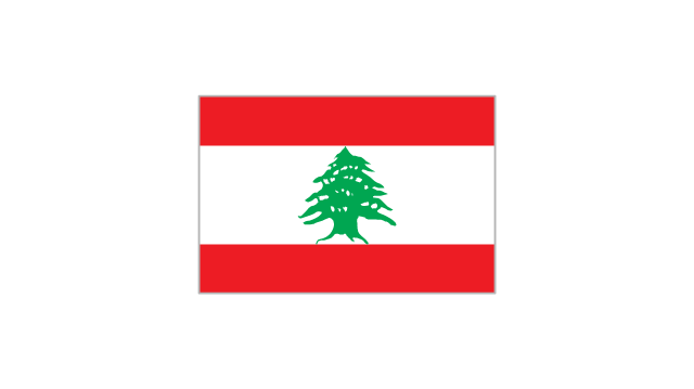
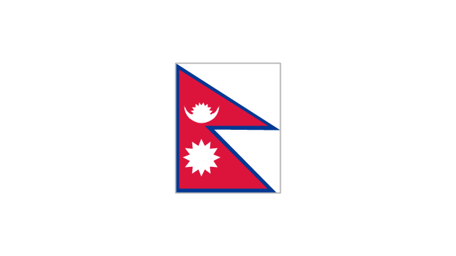
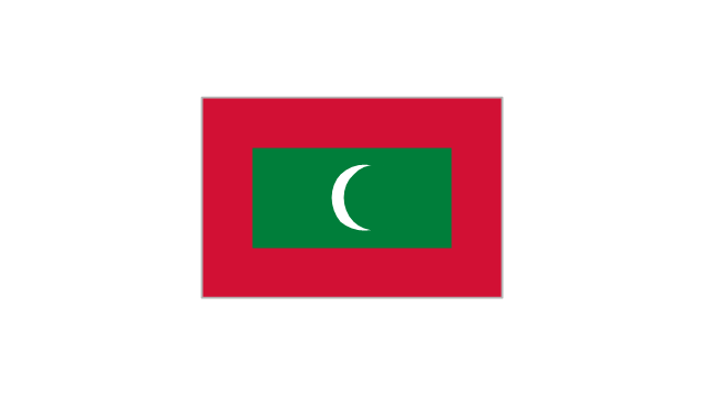
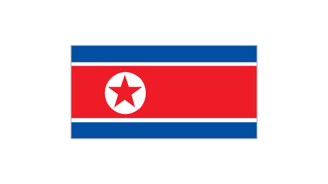
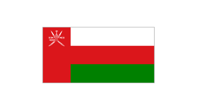
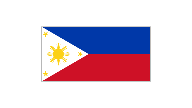
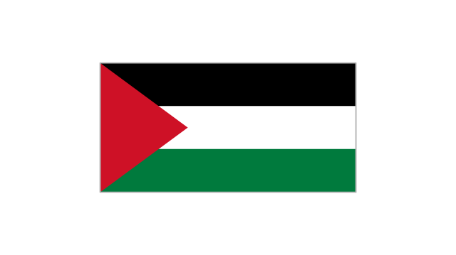
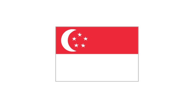
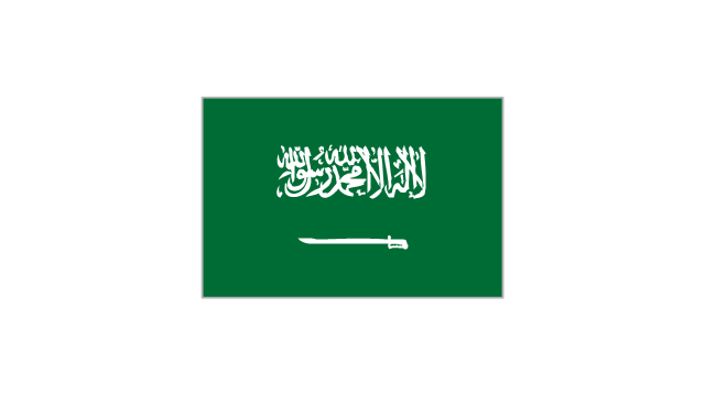
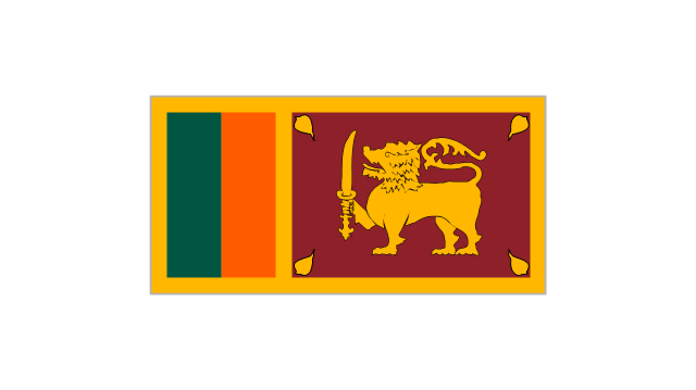
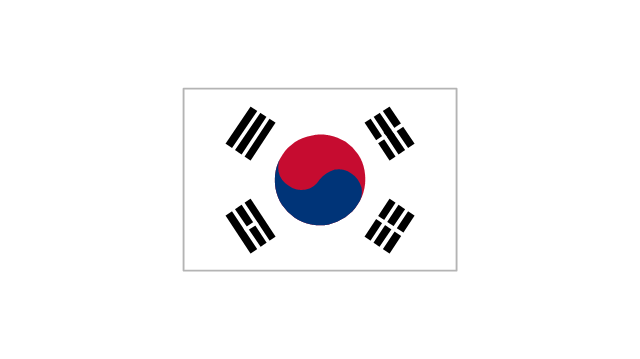
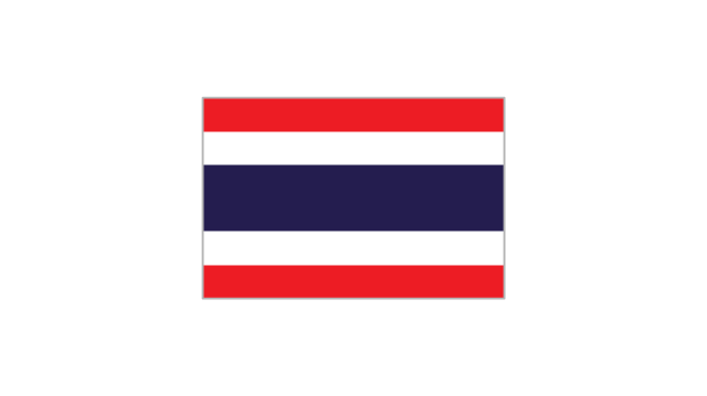
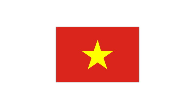
The stencils library "Asia flags" contains 49 clipart images of Asian state flags.
"... international and national flags used in Asia.
International: Flag of the Council of Europe, Flag of the Commonwealth of Independent States, Flag of the Organization of the Islamic Conference, Flag of the Organization of the Petroleum Exporting Countries, Flag of the Cooperation Council for the Arab States of the Gulf.
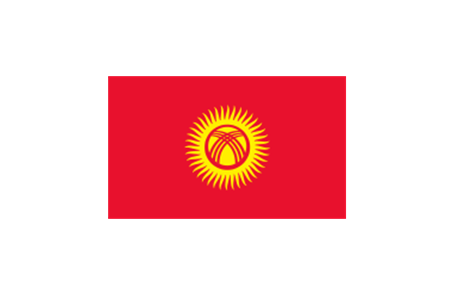
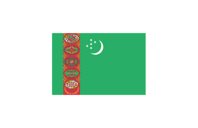
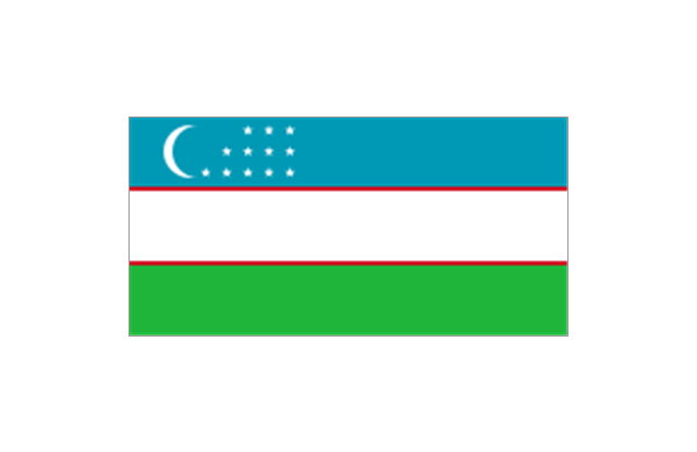
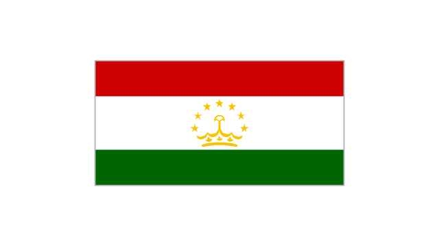
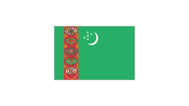
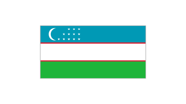
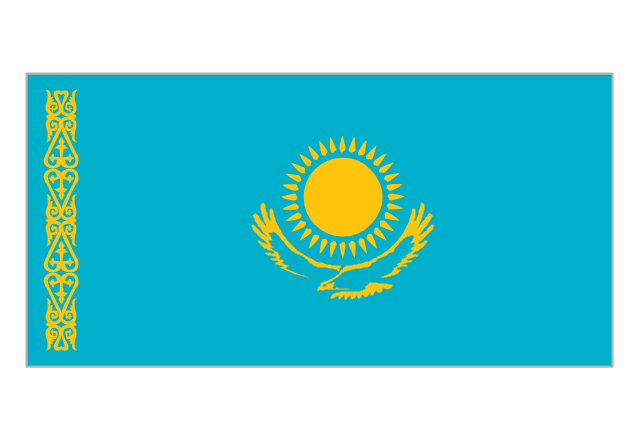
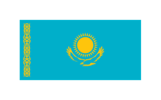
Central Asia: Flag of Kazakhstan, Flag of Kyrgyzstan, Flag of Tajikistan, Flag of Turkmenistan, Flag of Uzbekistan.
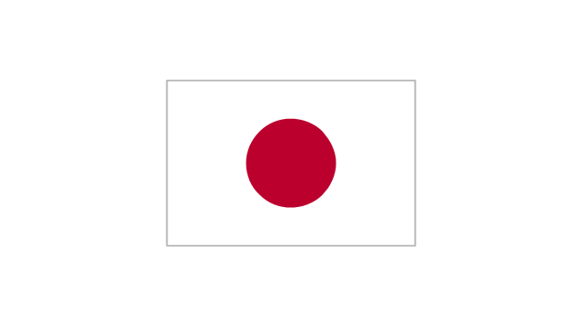
Eastern Asia: Flag of the People's Republic of China, Flag of Hong Kong (China), Flag of Japan, Flag of North Korea, Flag of South Korea, Flag of Macau (China), Flag of Mongolia, Flag of the Republic of China (Taiwan).
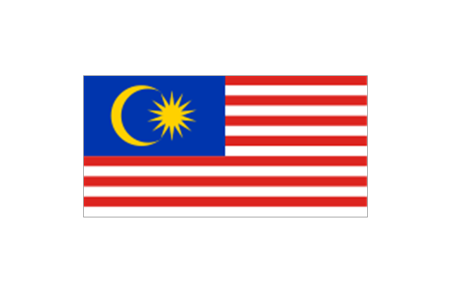
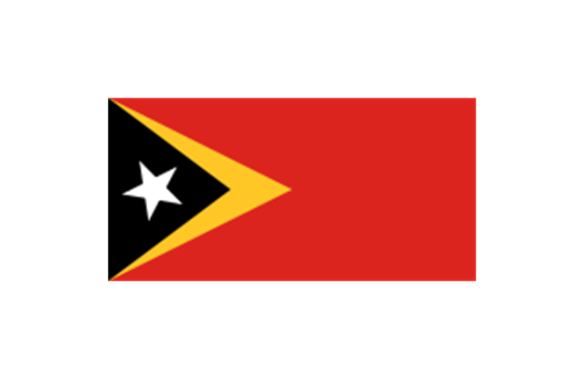
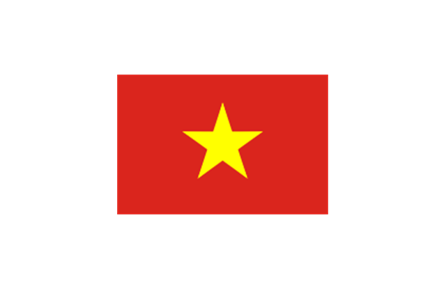
Southeast Asia: Flag of Brunei, Flag of Burma, Flag of Cambodia, Flag of Christmas Island (Australia), Flag of the Cocos (Keeling) Islands (Australia), Flag of East Timor, Flag of Indonesia, Flag of Laos, Flag of Malaysia, Flag of the Philippines, Flag of Singapore, Flag of Thailand, Flag of Vietnam.
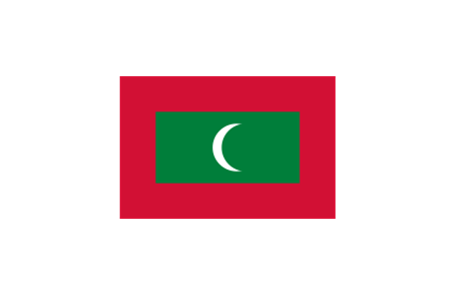
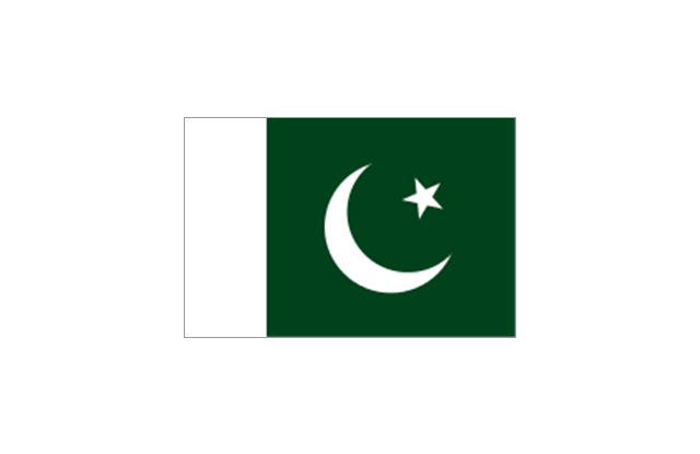
Southern Asia: Flag of Bangladesh, Flag of Bhutan, Flag of the British Indian Ocean Territory (United Kingdom), Flag of India, Flag of Maldives, Flag of Nepal, Flag of Pakistan, Flag of Sri Lanka.
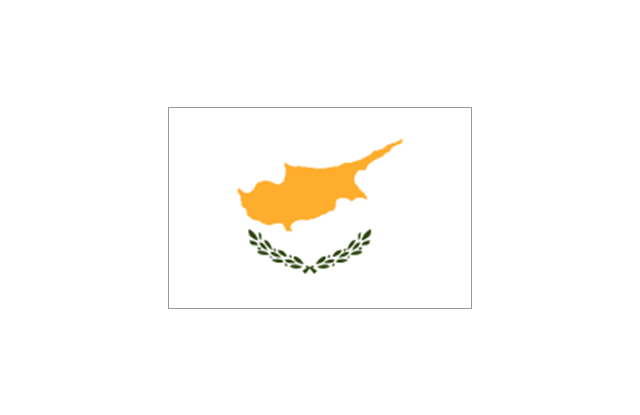
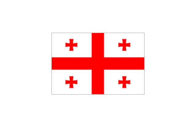
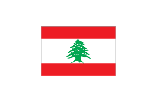
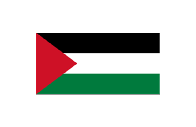
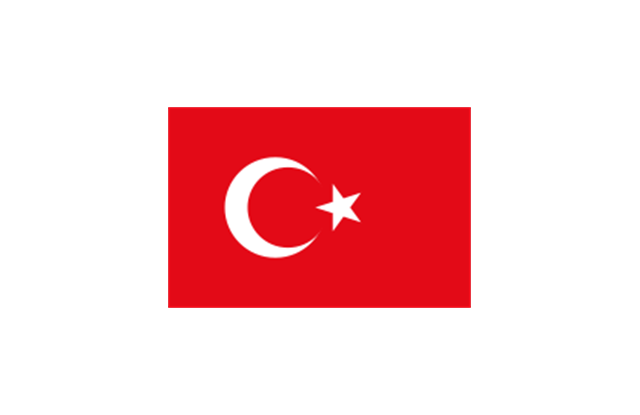
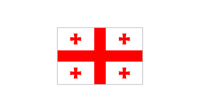
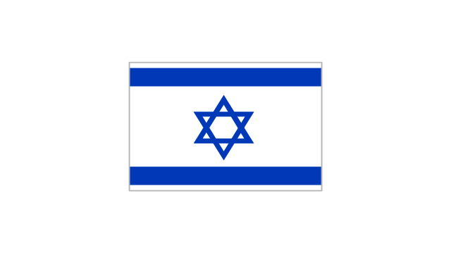
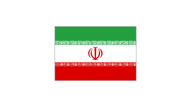
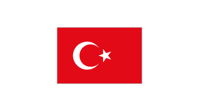
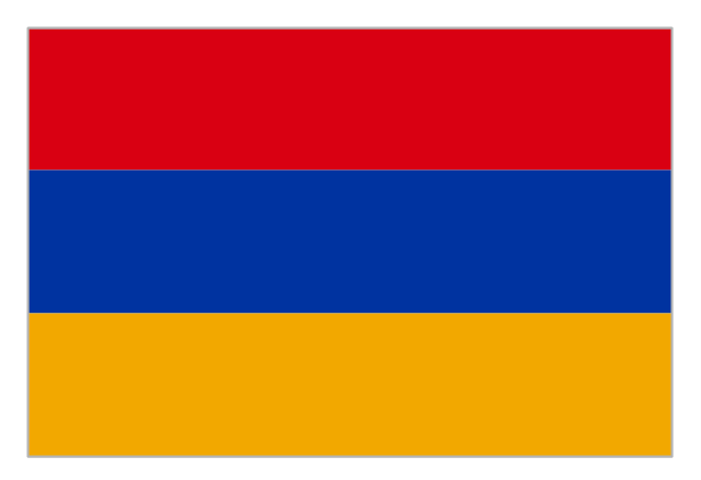
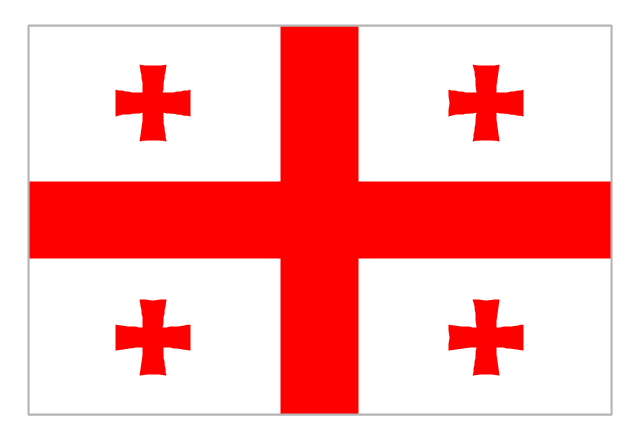
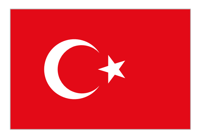
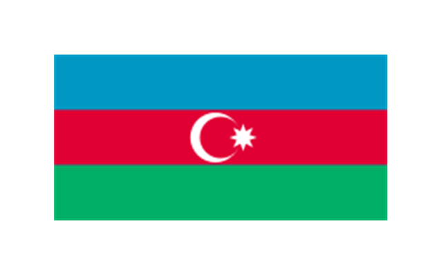
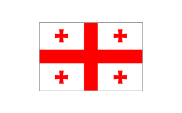
Western Asia: Flag of Abkhazia, Flag of Afghanistan, Flag of Akrotiri and Dhekelia (United Kingdom), Flag of Armenia, Flag of Azerbaijan, Flag of Bahrain, Flag of Cyprus, Flag of Egypt, Flag of Georgia, Flag of Iran, Flag of Iraq, Flag of Israel, Flag of Jordan, Flag of Kuwait, Flag of Lebanon, Flag of Nagorno-Karabakh, Flag of Northern Cyprus, Flag of Oman, Flag of Palestine, Flag of Qatar, Flag of Saudi Arabia, Flag of South Ossetia, Flag of Syria, Flag of Turkey, Flag of the United Arab Emirates, Flag of Yemen.
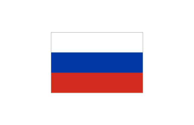
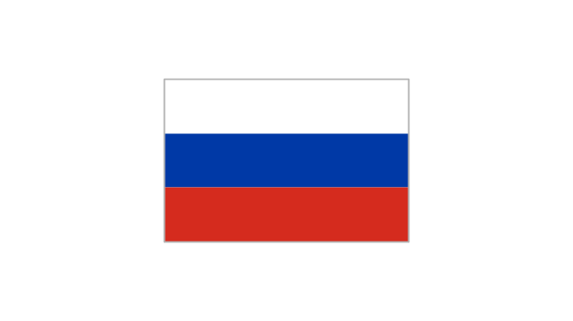
Northern Asia: Flag of Russia." [Flags of Asia. Wikipedia]
The clip art example "Asia flags - Stencils library" was created using the ConceptDraw PRO diagramming and vector drawing software extended with the Continent Maps solution from the Maps area of ConceptDraw Solution Park.
www.conceptdraw.com/ solution-park/ maps-continent
The vector stencils library "Asia" contains 57 Asian state map contours for drawing thematic and political maps of Asia. Use it for visual representation of geospatial information, statistics and quantitative data.
"Asia is the Earth's largest and most populous continent, located primarily in the eastern and northern hemispheres. ... Countries: 49 (and 5 disputed)." [Asia. Wikipedia]
The state map contours example "Asia - Vector stencils library" was created using the ConceptDraw PRO diagramming and vector drawing software extended with the Continent Maps solution from the Maps area of ConceptDraw Solution Park.
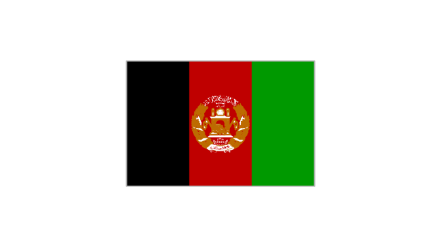
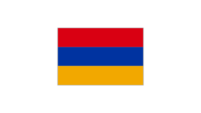
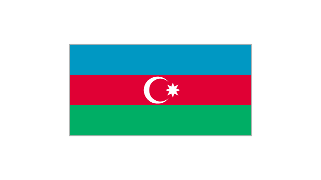
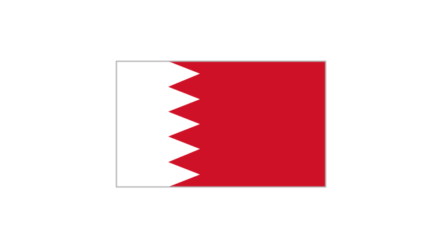
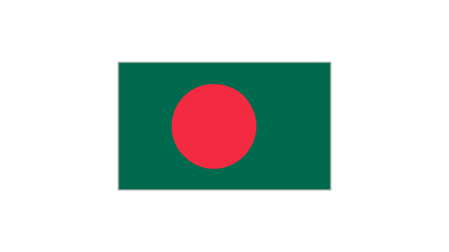
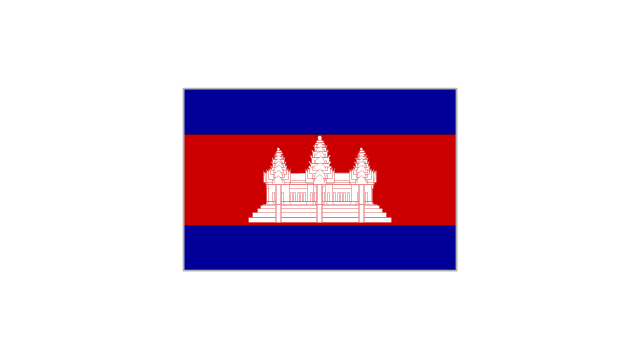
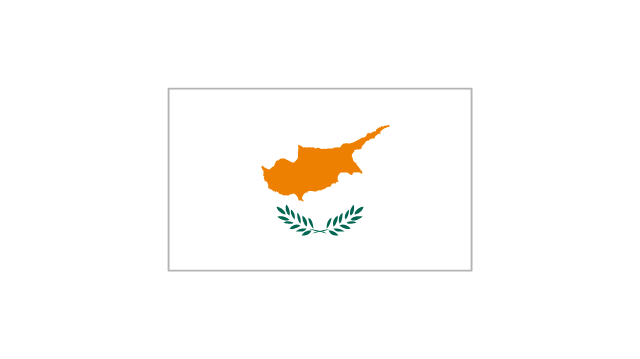
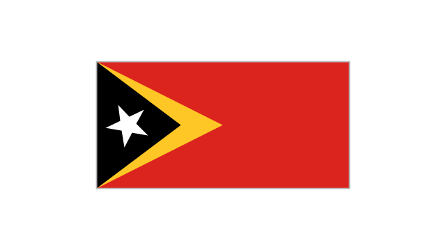
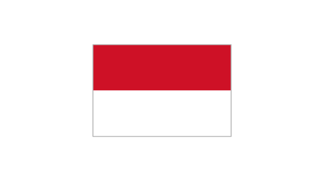
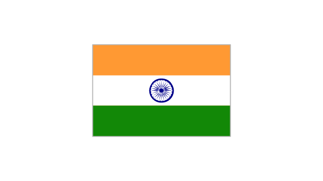
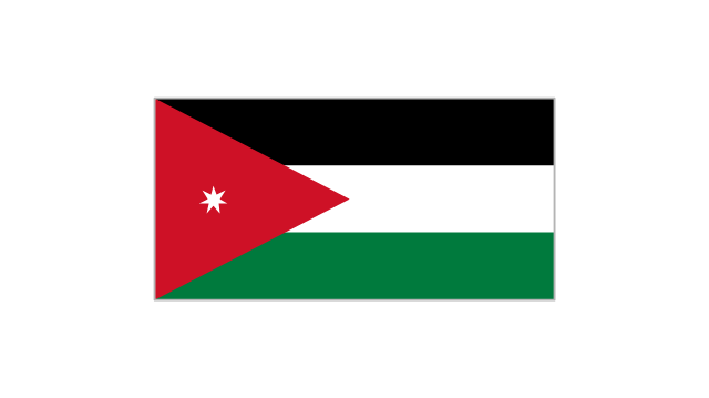
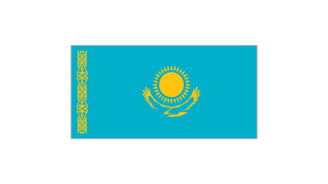
The vector stencils library "Asian country flags" contains 48 clipart images of Asia state flags.
Use the Asian country flags clip art to illustrate your business documents, presentation slides, web pages, geo maps and infographics.
The clip art example "Asian country flags - Vector stencils library" was created using the ConceptDraw PRO diagramming and vector drawing software extended with the Artwork solution from the Illustration area of ConceptDraw Solution Park.
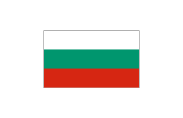
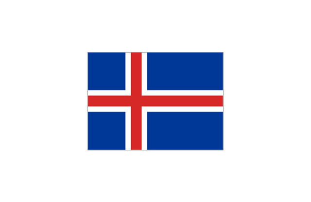
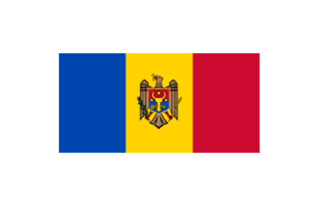
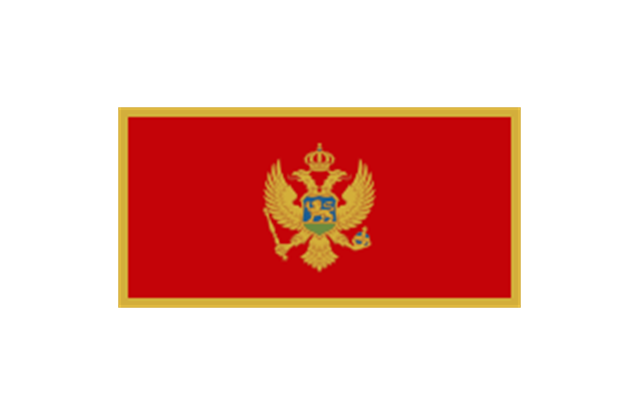
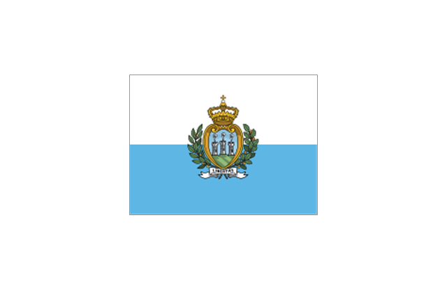
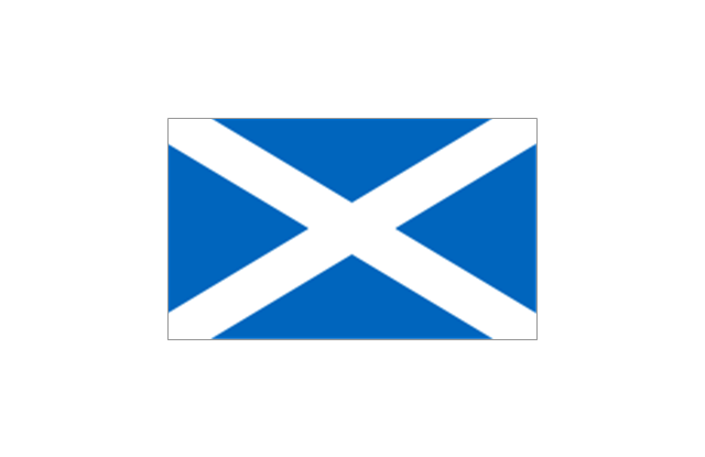
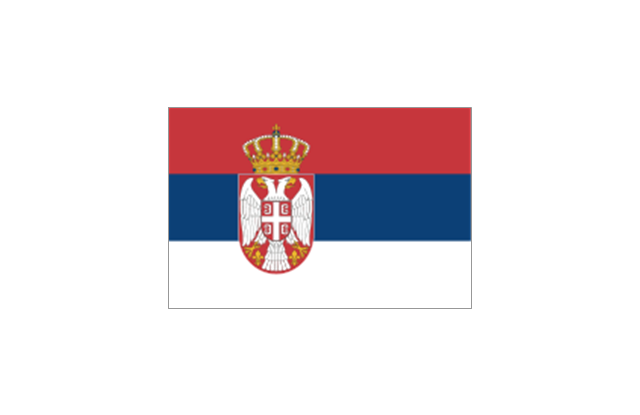
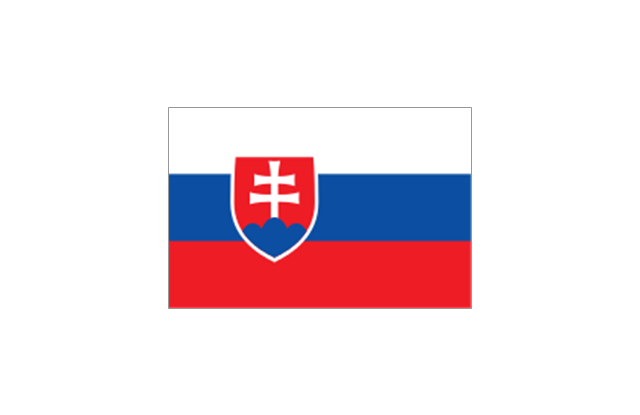
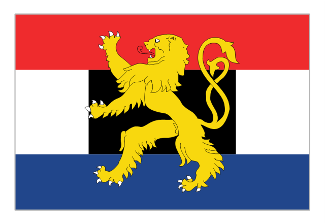
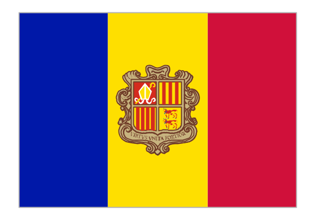
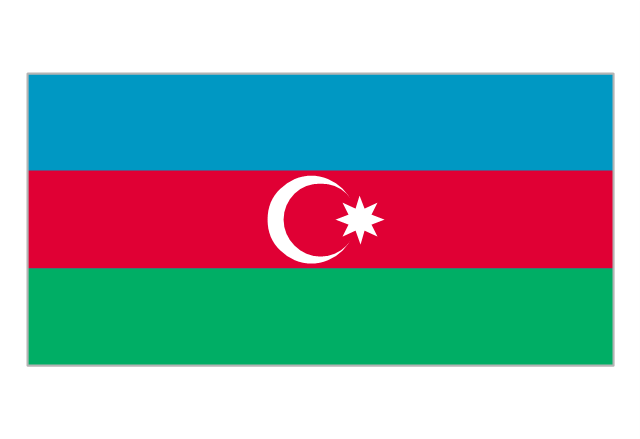
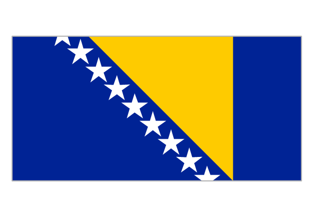
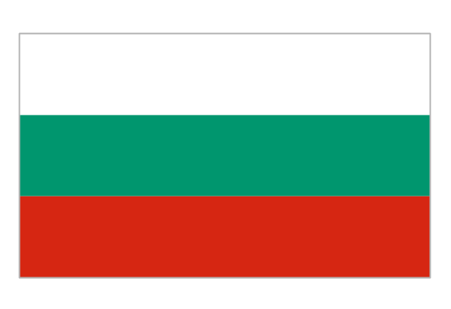
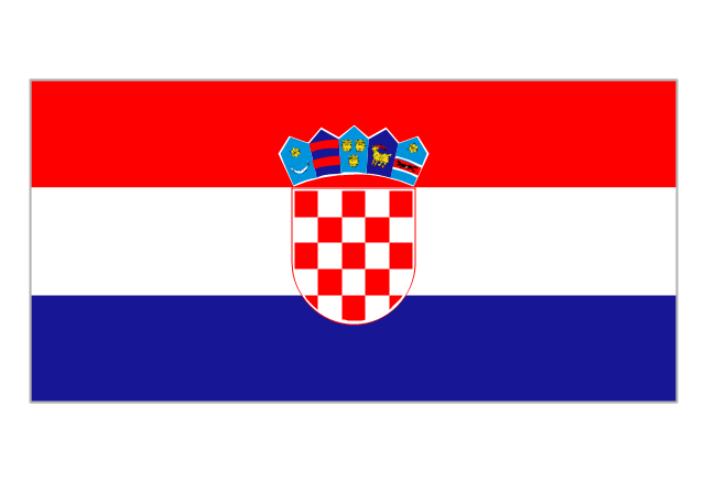
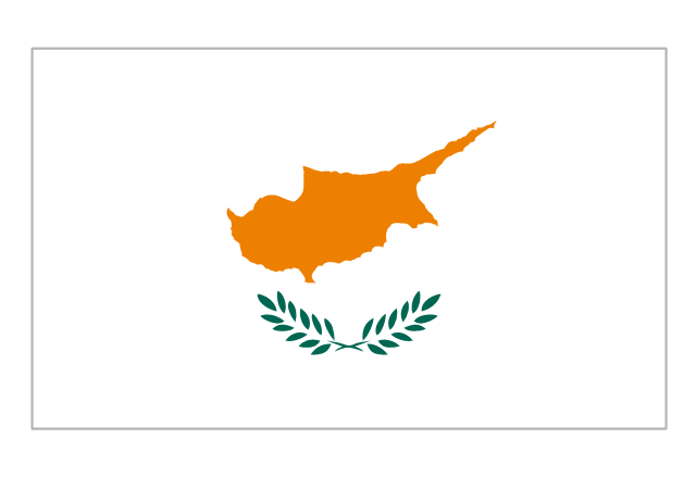
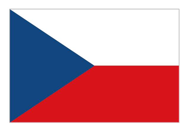
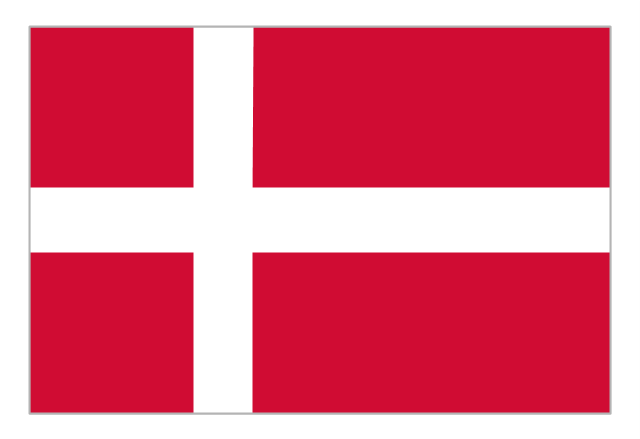
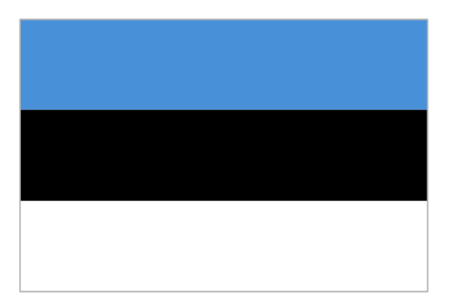
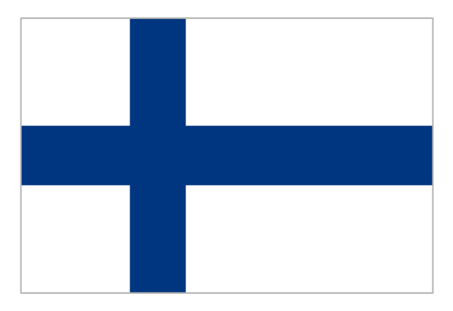
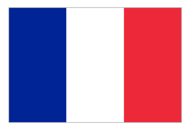
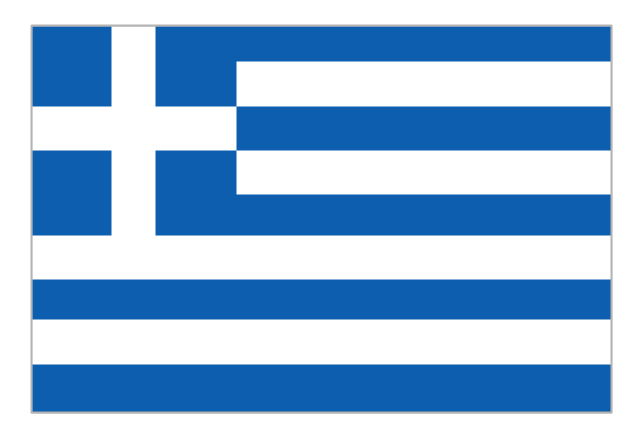
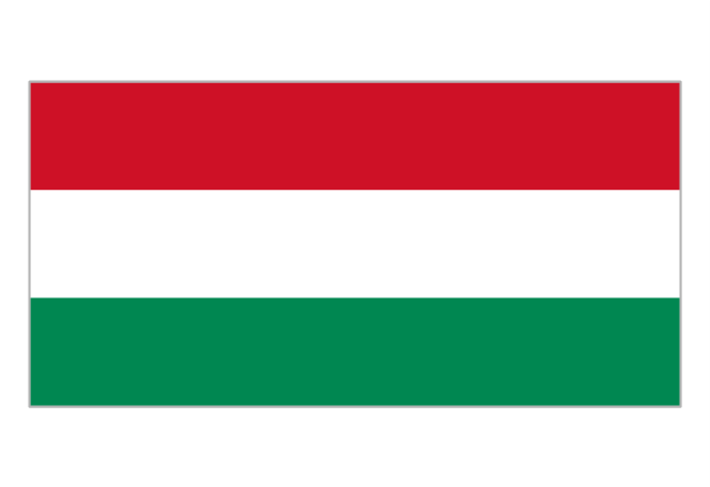
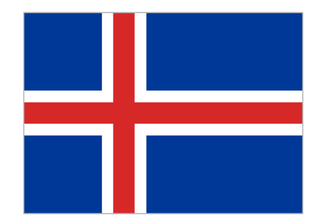
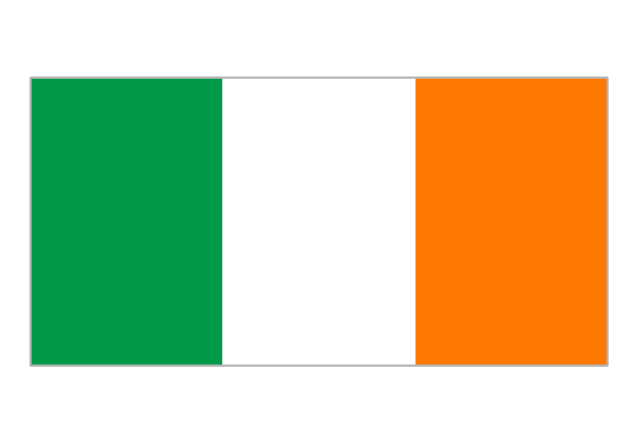
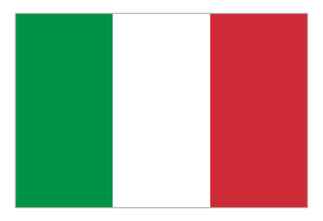
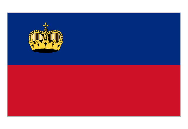
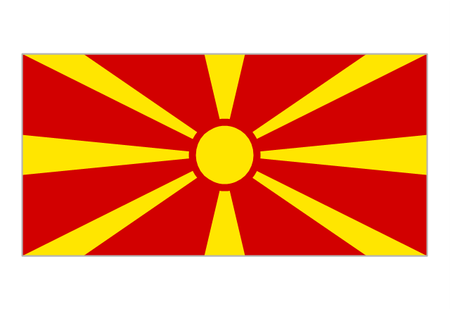
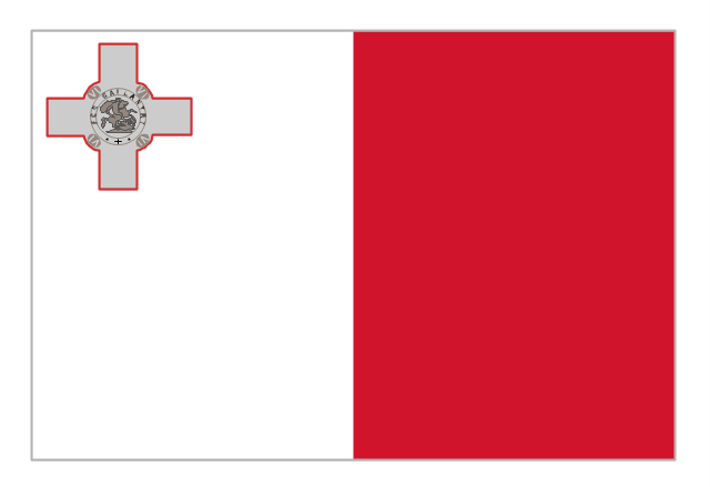
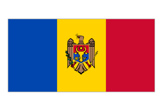
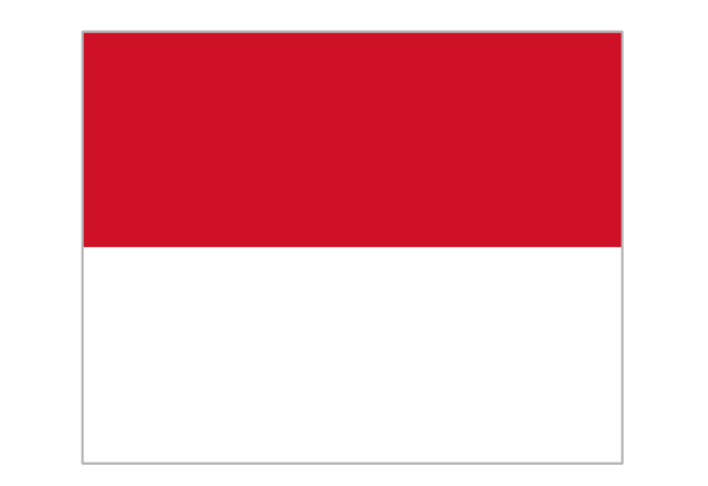
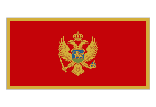
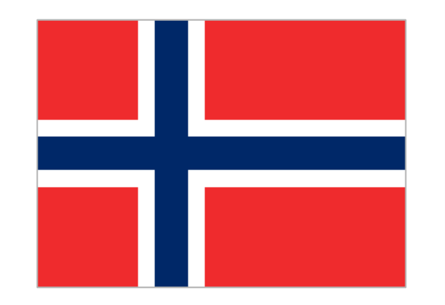
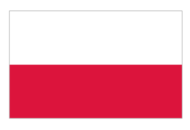
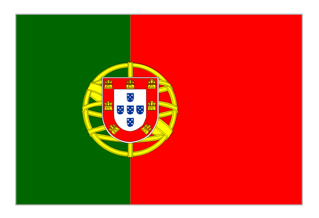
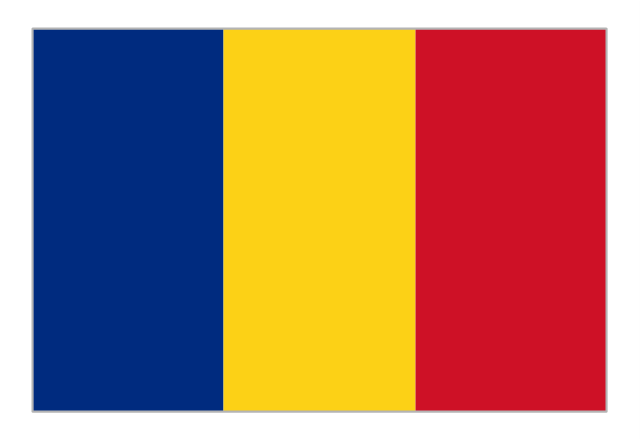
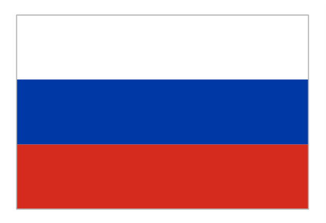
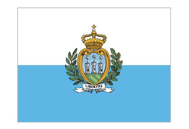
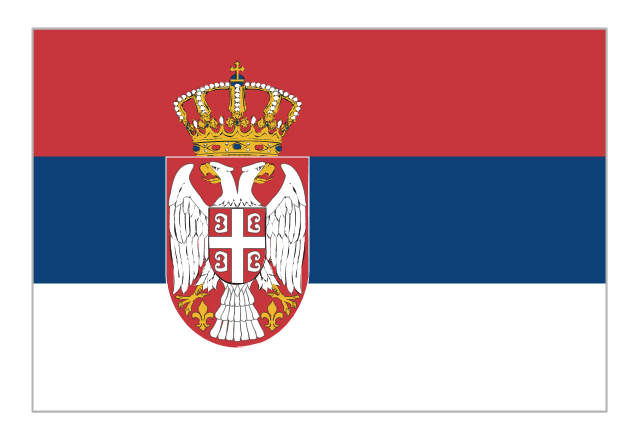
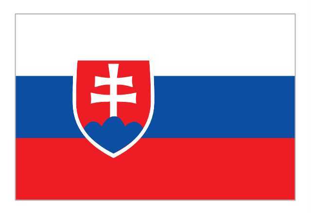
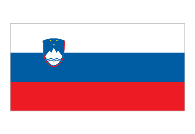
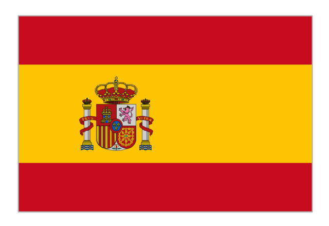
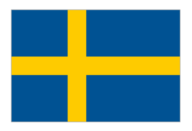
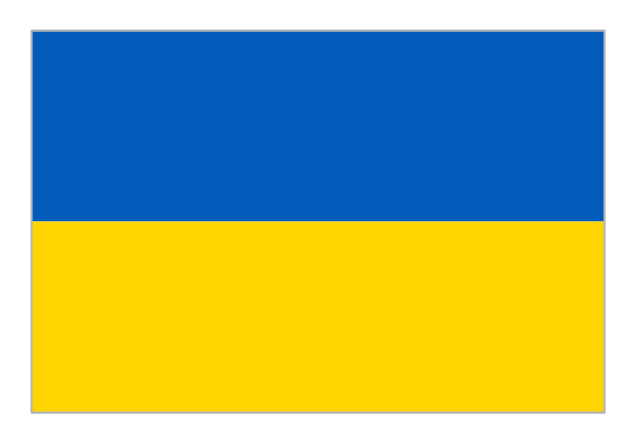
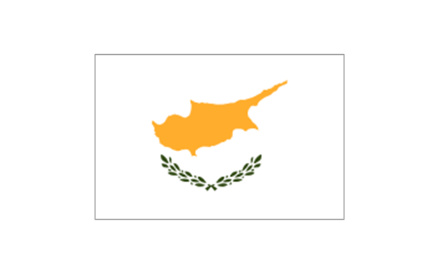
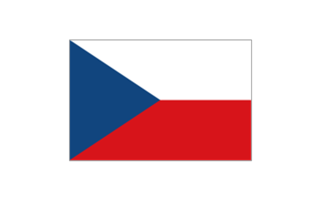
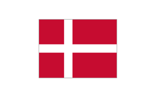
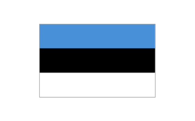
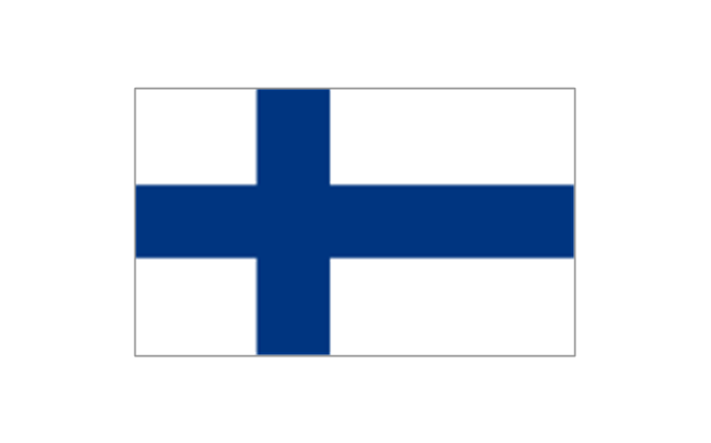
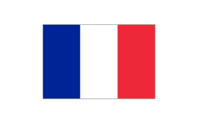
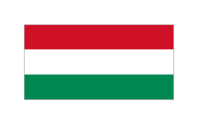
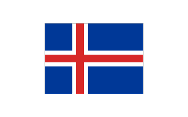
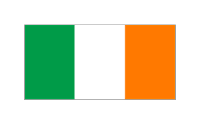
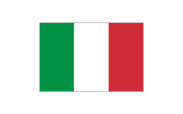
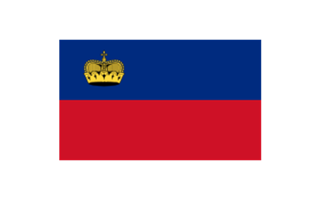
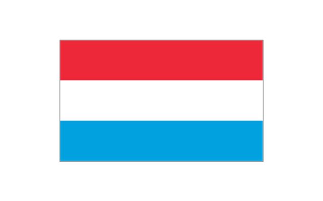
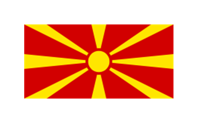
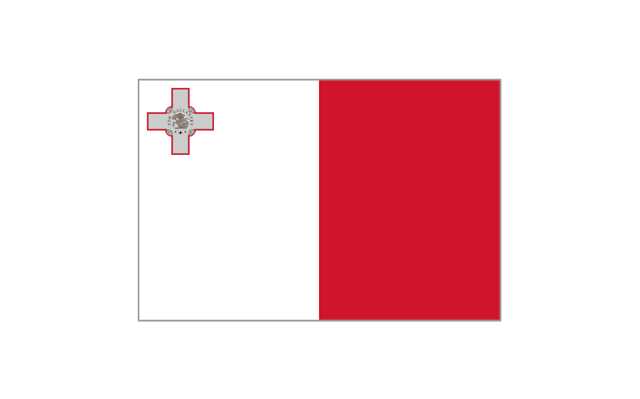
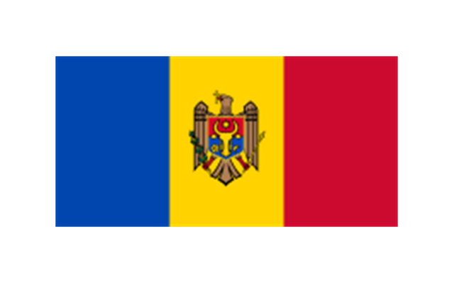
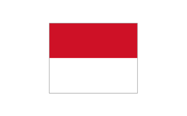
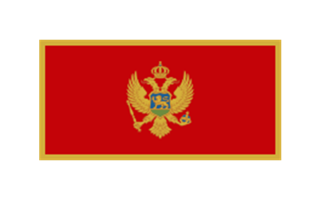
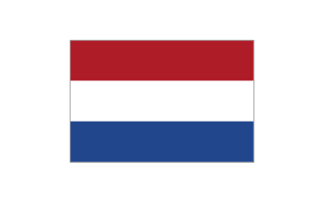
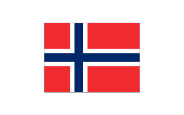
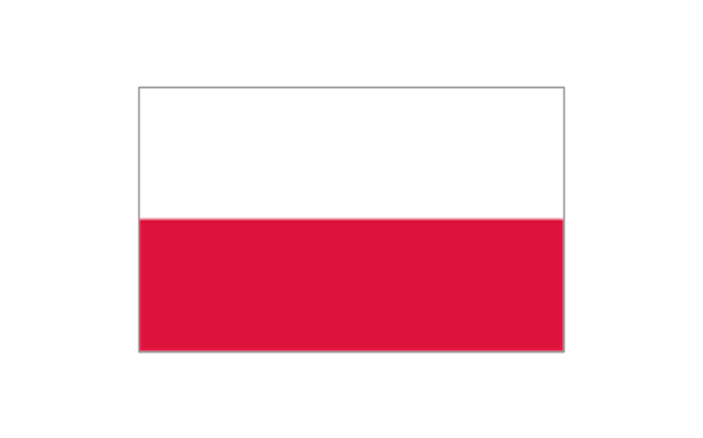
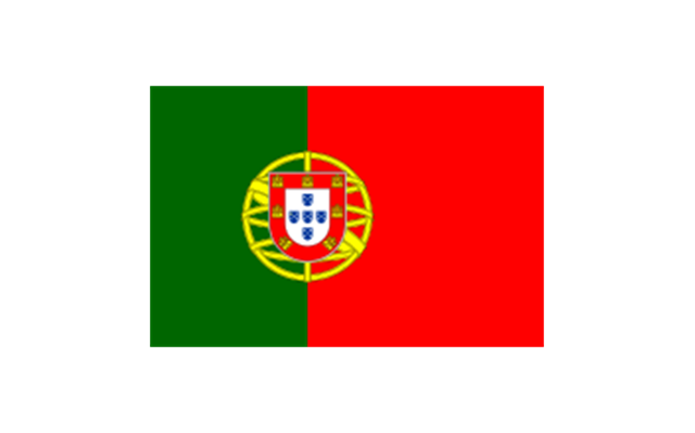
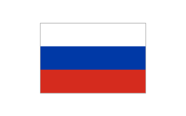
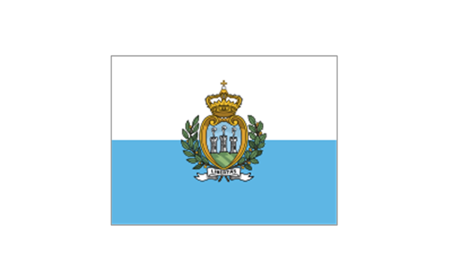
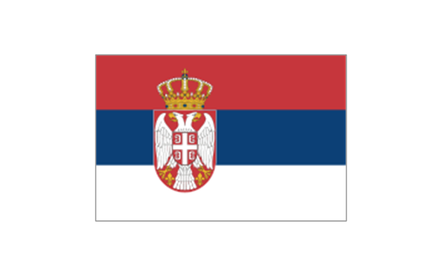
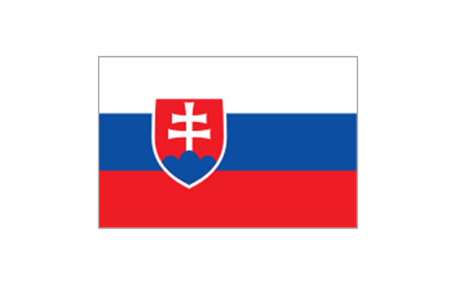
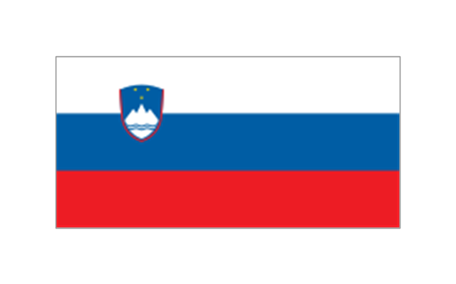
The vector stencils library "European country flags" contains 51 clipart images of Europe state flags.
Use the European country flags clip art to illustrate your business documents, presentation slides, web pages, geo maps and infographics.
The clip art example "European country flags - Vector stencils library" was created using the ConceptDraw PRO diagramming and vector drawing software extended with the Artwork solution from the Illustration area of ConceptDraw Solution Park.
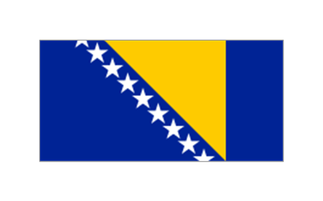
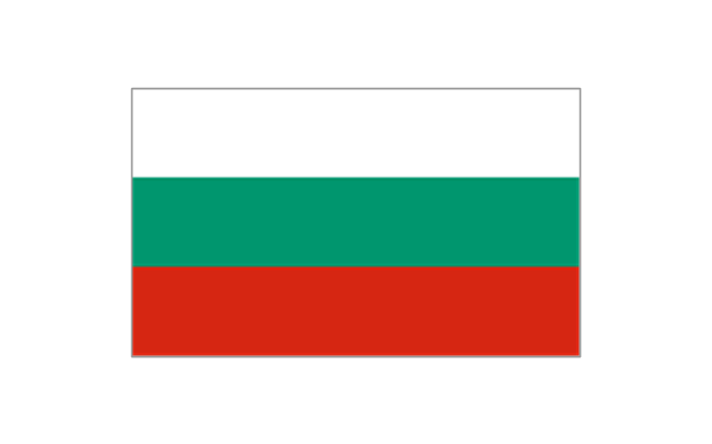
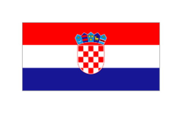
The stencils library "Europe flags" contains 51 clipart images of Europe state flags: supranational and international flags, flags of European countries.
The clip art example "Europe flags - Stencils library" was created using the ConceptDraw PRO diagramming and vector drawing software extended with the Continent Maps solution from the Maps area of ConceptDraw Solution Park.
www.conceptdraw.com/ solution-park/ maps-continent
The clip art example "Europe flags - Stencils library" was created using the ConceptDraw PRO diagramming and vector drawing software extended with the Continent Maps solution from the Maps area of ConceptDraw Solution Park.
www.conceptdraw.com/ solution-park/ maps-continent
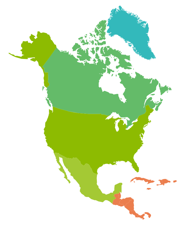
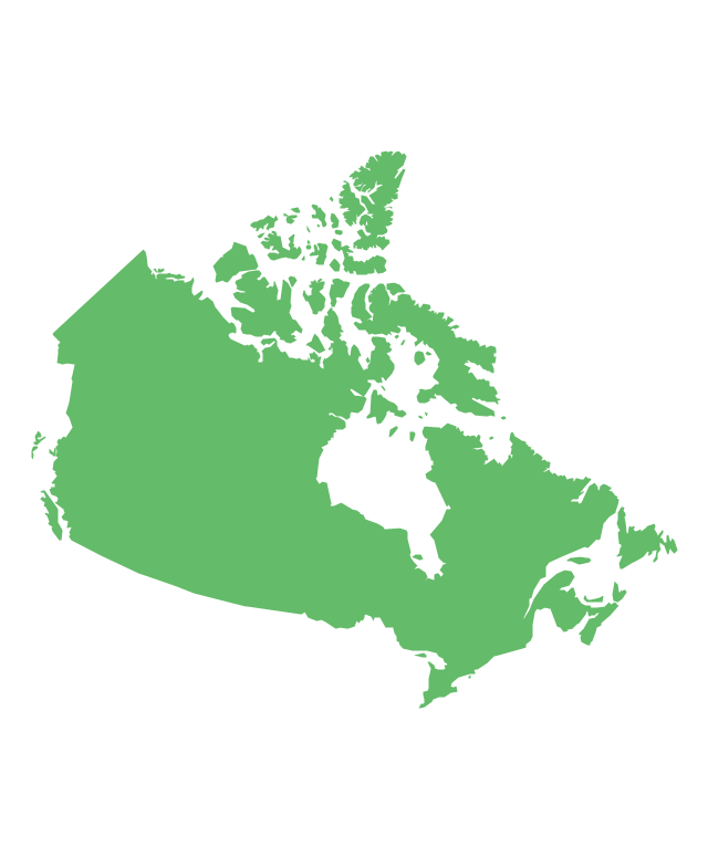
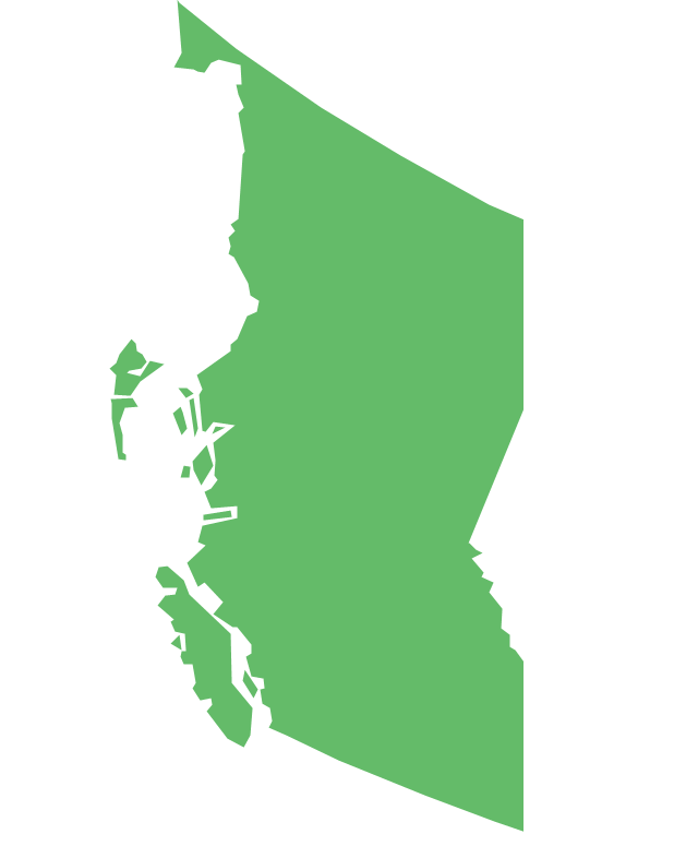
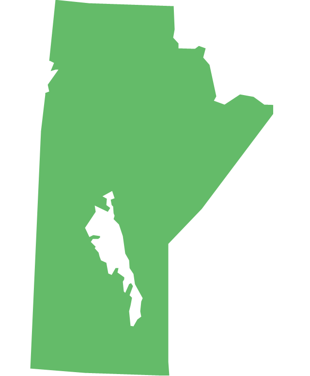
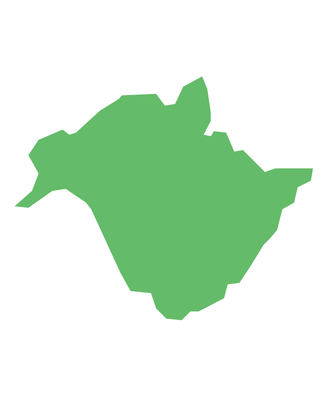
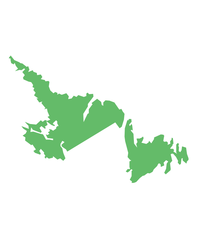
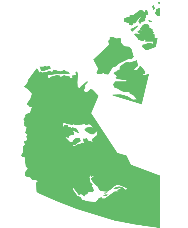
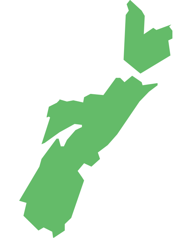
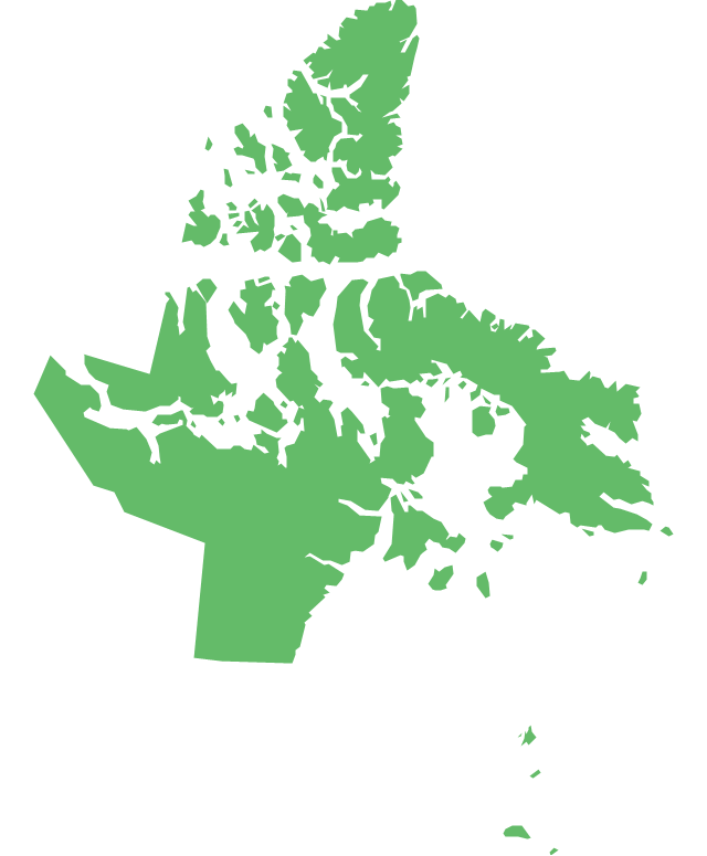
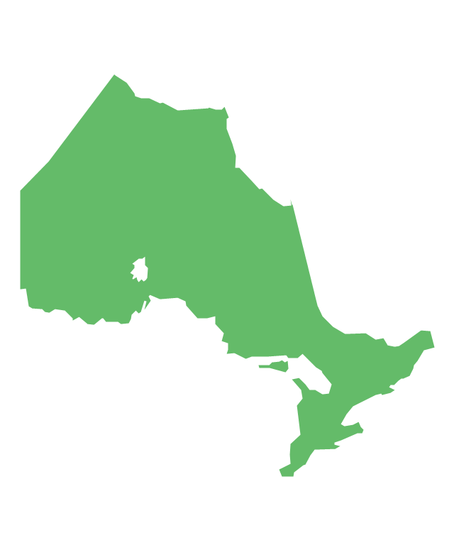
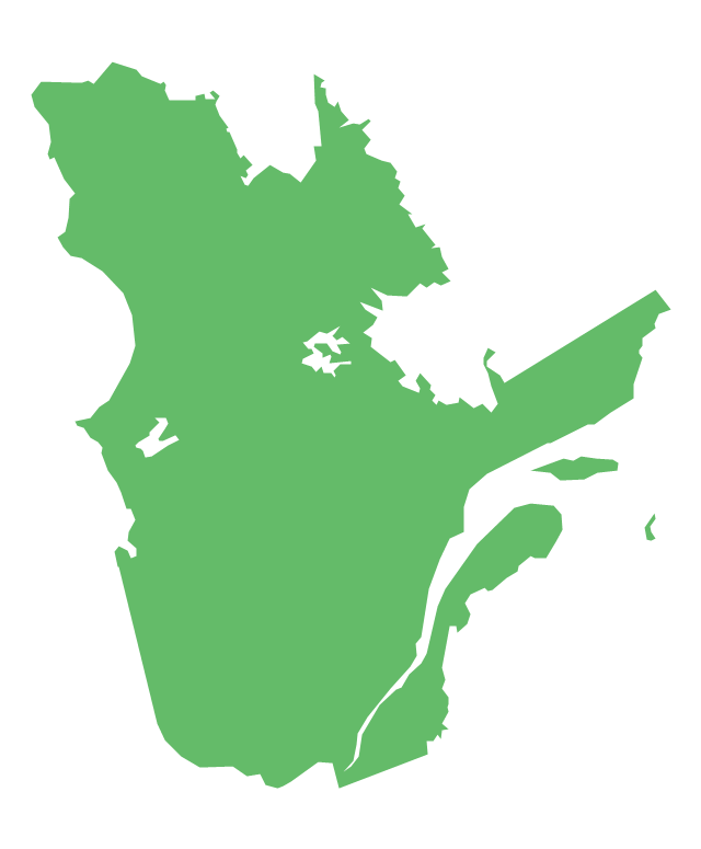
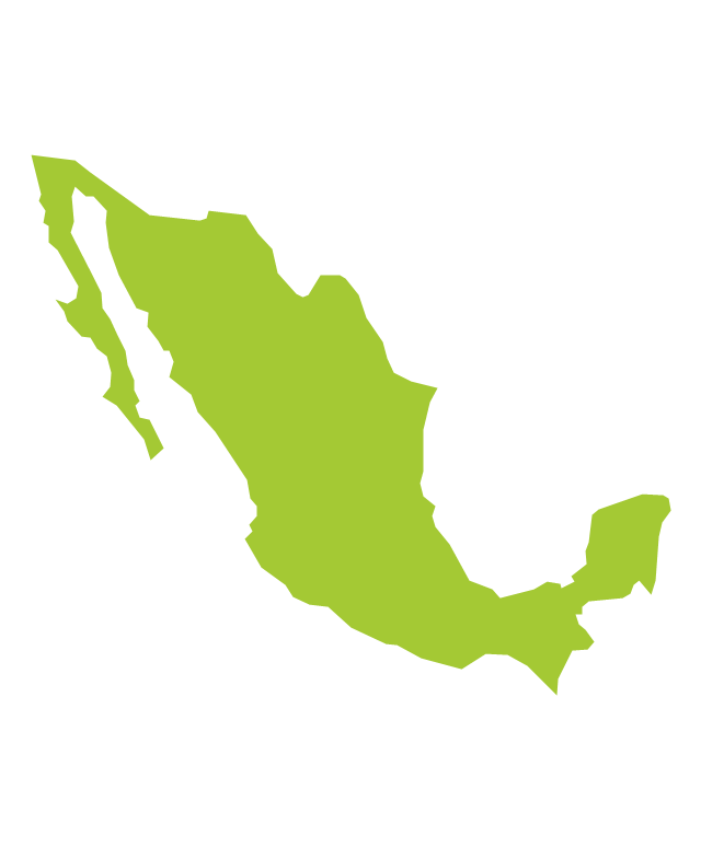
The vector stencils library "North America" contains 70 contours for drawing thematic maps of North America in spatial infographics.
Use it for visual representation of geospatial information, statistics and quantitative data in the ConceptDraw PRO diagramming and vector drawing software extended with the Spatial Infographics solution from the area "What is Infographics" of ConceptDraw Solution Park.
Use it for visual representation of geospatial information, statistics and quantitative data in the ConceptDraw PRO diagramming and vector drawing software extended with the Spatial Infographics solution from the area "What is Infographics" of ConceptDraw Solution Park.
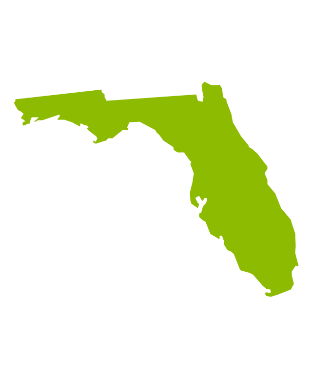
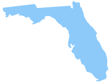
Geo Map — USA — Florida
Florida is a state in the southeastern region of the United States, bordered to the west by the Gulf of Mexico, to the north by Alabama and Georgia, to the east by the Atlantic Ocean, and to the south by the Straits of Florida. The vector stencils library Florida contains contours for ConceptDraw DIAGRAM diagramming and vector drawing software. This library is contained in the Continent Maps solution from Maps area of ConceptDraw Solution Park.Geo Map - USA - Tennesse
Tennessee is a U.S. state located in the Southeastern United States. The vector stencils library Tennesse contains contours for ConceptDraw DIAGRAM diagramming and vector drawing software. This library is contained in the Continent Maps solution from Maps area of ConceptDraw Solution Park.Geo Map - USA - Alabama
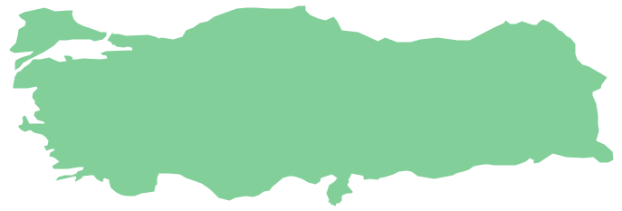
Alabama is a state located in the southeastern region of the United States. The vector stencils library Alabama contains contours for ConceptDraw DIAGRAM diagramming and vector drawing software. This library is contained in the Continent Maps solution from Maps area of ConceptDraw Solution Park.Geo Map - Asia - Turkey
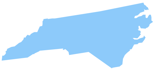
Turkey, officially the Republic of Turkey, is a contiguous transcontinental country, located mostly on Anatolia in Western Asia, and on East Thrace in Southeastern Europe. The vector stencils library Turkey contains contours for ConceptDraw DIAGRAM diagramming and vector drawing software. This library is contained in the Continent Maps solution from Maps area of ConceptDraw Solution Park.Geo Map - USA - North Carolina
North Carolina is a state in Southeastern United States. The vector stencils library North Carolina contains contours for ConceptDraw DIAGRAM diagramming and vector drawing software. This library is contained in the Continent Maps solution from Maps area of ConceptDraw Solution Park.Geo Map — United States of America Map
United States of America (USA) is a federal republic that includes 50 states and a federal district. It is the third largest country by population, fourth by the total area, and one of the most diverse in respect of nationalities and cultures. ConceptDraw DIAGRAM software extended with Continent Maps solution is ideal to draw professional looking Geological map of United States of America, USA map with states, the separate maps of different states of America, thematic maps, geospatial infographics, and varied vector illustrations for your business documents, presentations and websites. Use the pre-designed vector geo map shapes offered by numerous libraries, in particular by the United States of America library that contains 53 United States of America map contours. Each map is scaled, with the option to add the further levels of detail, thus the county borders, their names, capitals, and major cities can be instantly shown or hidden using the Action menu for each state map. ConceptDraw DIAGRAM software gives you a full control over the map size, shading, color fills and alignment.Geo Map - Europe - Russia
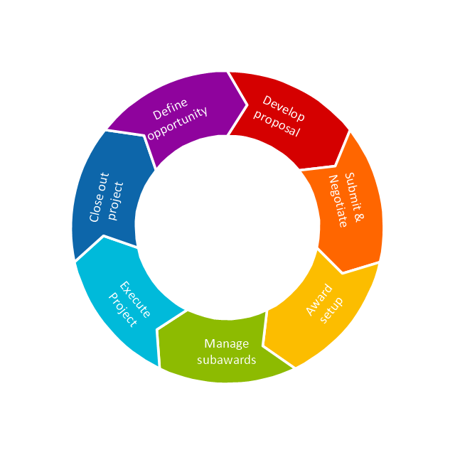
The vector stencils library Russia contains contours for ConceptDraw DIAGRAM diagramming and vector drawing software. This library is contained in the Continent Maps solution from Maps area of ConceptDraw Solution Park.This arrow ring diagram sample was created on the base of the figure illustrating the webpage "Grant Life Cycle" from the Georgia College website. "Grant Life Cycle.
Define Opportunity: Funding opportunities can come from anywhere: databases, agency websites, professional publications or colleagues. GC subscribes to the database GRC. Federal grant opportunities can be found through Grants.gov.
Develop Proposal: Once an opportunity has been identified OGSP will do the following:
(1) Review the announcement for application requirements.
(2) Meet with the Principal Investigator (PI) to develop a project management plan.
(3) Work up a draft budget for PI approval.
(4) Complete the sponsor/ required forms and budget justification to be included in the application.
Submit & Negotiate: Applications can only be submitted by GC or the GC Foundation. Once internal approval has been received, designated staff in the appropriate office will submit the application on behalf of the PI and institution. If awarded, the GC or Foundation personnel will review and negotiate acceptable terms and conditions to GC, GC Fdn and/ or USG.
All of these are part of Pre-award services. ...
Award Setup: OGSP will review award documentation and assist all responsible parties with their roles and responsibilities during the grant. OGSP is available through the life of the award to provide support with any non-financial issues.
Manage Subawards: If subawards were identified at application, OGSP will issue the subaward using GC approved forms. If the need for a portion of the work to be completed by an outside entity is noted in the post-award phase, the Grants Compliance Manager will secure agency approval and then issue the subaward. OGSP will monitor the fiscal aspects of the subaward while the PI is responsible for the programmatic compliance.
Execute Project: OGSP continually monitors each grant for compliance with award terms & conditions. As legal representative, OGSP works with the PI and funder to expedite reports and resolve any issues that might arise.
Close Out Project: Once a grant has reached the end of the project period, all funders have requirements for final progress and financial reports. OGSP will work with the PI to make sure the progress report is submitted in a timely fashion and the Business & Finance completes the final invoices or report. The storage of the official project file is the responsibility of OGSP. All information and reports should be copied to the Grant Compliance Manager for inclusion in the official record." [gcsu.edu/ grants/ grantlifecycle.htm]
The arrow ring diagram example "Grant life cycle" was created using the ConceptDraw PRO diagramming and vector drawing software extended with the Target and Circular Diagrams solution from the Marketing area of ConceptDraw Solution Park.
www.conceptdraw.com/ solution-park/ marketing-target-and-circular-diagrams
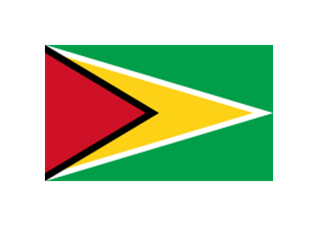
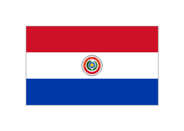
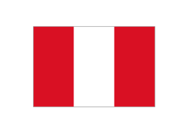
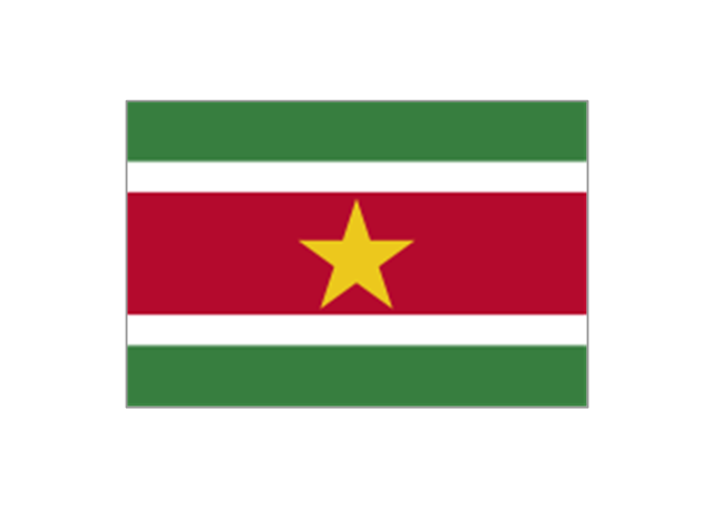
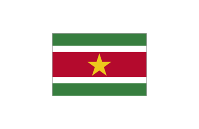
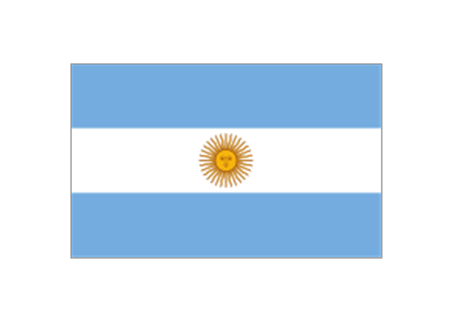
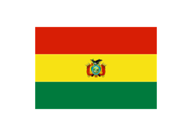
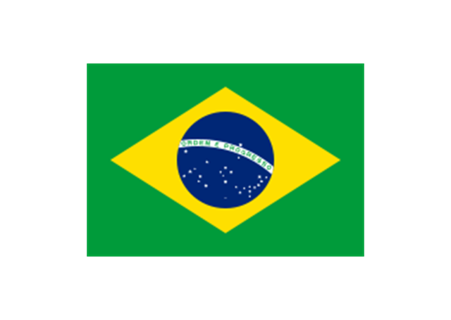
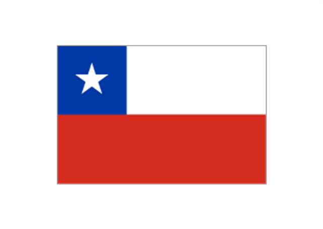
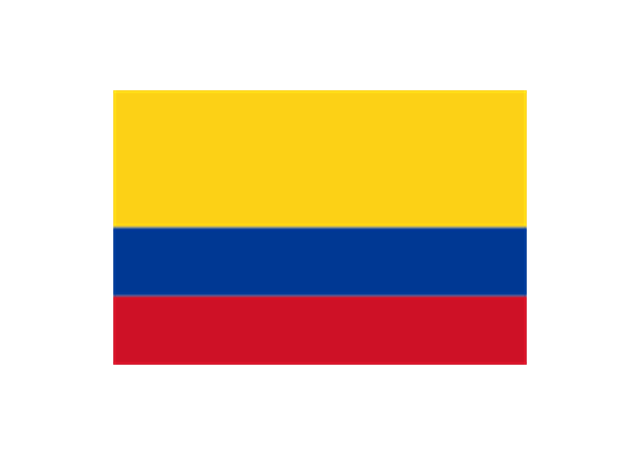
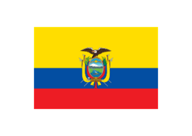
The stencils library "South America flags" contains 14 clipart images of South American countries state flags.
"... flags of South American countries and affiliated international organizations.
International: Flag of the Andean Community of Nations, Flag of the European Union, Flag of Mercosur, Flag of OPEC, Flag of the Organisation internationale de la Francophonie, Flag of the Union of South American Nations.
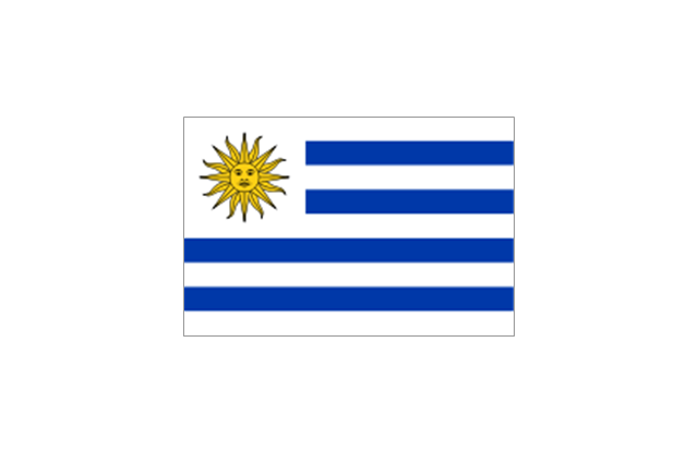
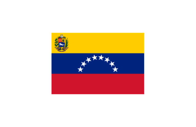
Countries: Flag of Argentina, Flag of Bolivia, Flag of Brazil, Flag of Chile, Flag of Colombia, Flag of Ecuador, Flag of Guyana, Flag of Paraguay, Flag of Peru, Flag of Suriname, Flag of Uruguay, Flag of Venezuela.
Territories: Flag of Aruba (Kingdom of the Netherlands), Flag of Bonaire (Kingdom of the Netherlands), Flag of Curacao (Kingdom of the Netherlands), Flag of the Falkland Islands (British Overseas Territory), Flag of French Guiana (Overseas Department of France), Flag of South Georgia and the South Sandwich Islands (British Overseas Territory)." [Flags of South America. Wikipedia]
The clip art example "South America flags - Stencils library" was created using the ConceptDraw PRO diagramming and vector drawing software extended with the Continent Maps solution from the Maps area of ConceptDraw Solution Park.
www.conceptdraw.com/ solution-park/ maps-continent
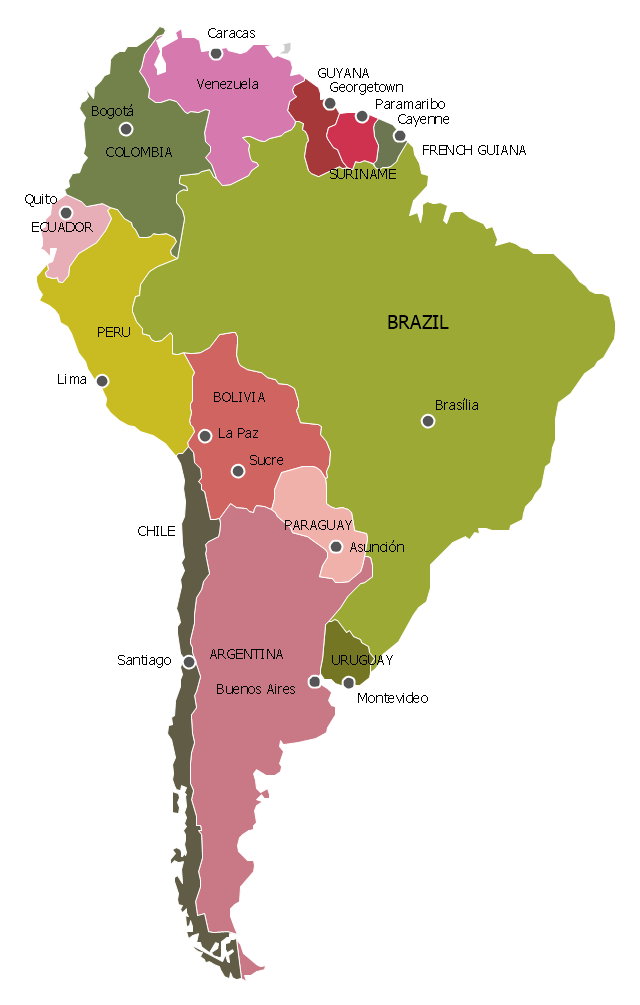
"South America is a continent located in the Western Hemisphere, mostly in the Southern Hemisphere, with a relatively small portion in the Northern Hemisphere. It can also be considered as a subcontinent of the Americas.
It is bordered on the west by the Pacific Ocean and on the north and east by the Atlantic Ocean; North America and the Caribbean Sea lie to the northwest. It includes twelve sovereign states – Argentina, Bolivia, Brazil, Chile, Colombia, Ecuador, Guyana, Paraguay, Peru, Suriname, Uruguay, and Venezuela – and two non-sovereign areas – French Guiana, an overseas department of France, and the Falkland Islands, a British Overseas Territory (though disputed by Argentina). In addition to this, the ABC islands of the Netherlands may also be considered part of South America. ... Countries and territories: Argentina, Bolivia, Brazil, Chile, Colombia, Ecuador, Falkland Islands (United Kingdom), French Guiana (France), Guyana, Paraguay, Peru, South Georgia and the South Sandwich Islands (United Kingdom), Suriname, Uruguay, Venezuela." [South America. Wikipedia]
This political map sample was redesigned from the Wikimedia Commons file: Map of South America.svg. [commons.wikimedia.org/ wiki/ File:Map_ of_ South_ America.svg]
This file is licensed under the Creative Commons Attribution-Share Alike 3.0 Unported license. [creativecommons.org/ licenses/ by-sa/ 3.0/ deed.en]
The example "South America - Political map" was created using the ConceptDraw PRO diagramming and vector drawing software extended with the Continent Maps solution from the Maps area of ConceptDraw Solution Park.
The vector stencils library "Asia flags" contains 49 clipart images of Asian countries state flags.
National flags of Central Asia countries: Kazakhstan, Kyrgyzstan, Tajikistan, Turkmenistan, Uzbekistan.
National flags of Eastern Asia countries: People's Republic of China, Hong Kong (China), Japan, North Korea, South Korea, Macau (China), Mongolia, Republic of China (Taiwan).
National flags of Southeast Asia countries: Brunei, Burma, Cambodia, Christmas Island (Australia), Cocos (Keeling) Islands (Australia), East Timor, Indonesia, Laos, Malaysia, Philippines, Singapore, Thailand, Vietnam.
National flags of Southern Asia countries: Bangladesh, Bhutan, British Indian Ocean Territory (United Kingdom), India, Maldives, Nepal, Pakistan, Sri Lanka.
National flags of Western Asia countries: Abkhazia, Afghanistan, Akrotiri and Dhekelia (United Kingdom), Armenia, Azerbaijan, Bahrain, Cyprus, Egypt, Georgia, Iran, Iraq, Israel, Jordan, Kuwait, Lebanon, Nagorno-Karabakh, Northern Cyprus, Oman, Palestine, Qatar, Saudi Arabia, South Ossetia, Syria, Turkey, United Arab Emirates, Yemen.
National flags of Northern Asia countries: Russia.
The clip art example "Design elements - Asia flags" was created using the ConceptDraw PRO diagramming and vector drawing software extended with the Continent Maps solution from the Maps area of ConceptDraw Solution Park.
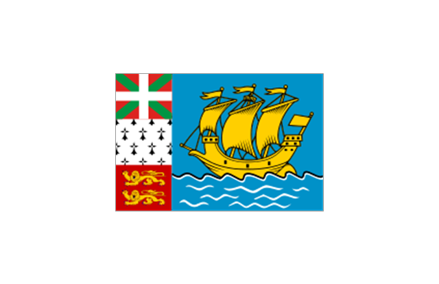
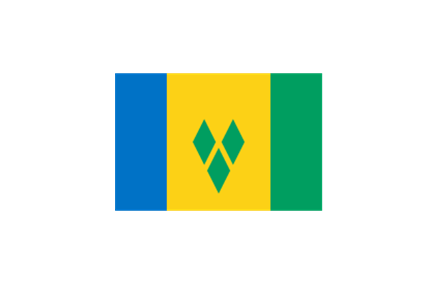
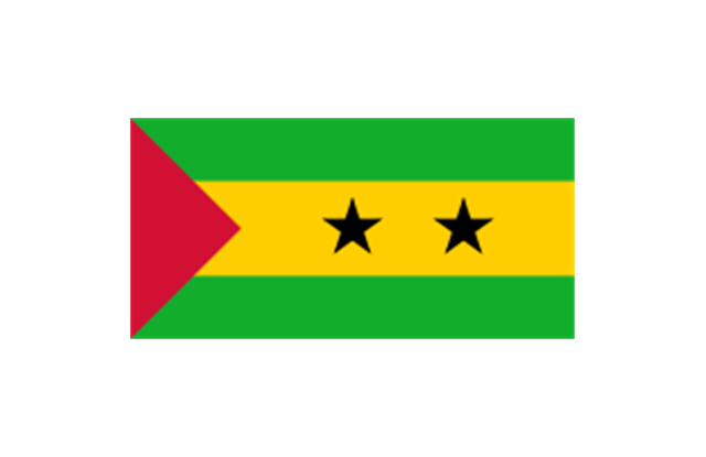
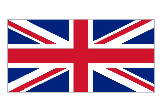
The stencils library "Flags" contains 204 clipart images of state flags.
"There are two separate meanings for the term state flag in vexillology - the flag of the government of a sovereign state, and the flag of an individual subnational state, such as a U.S. state, or a Russian oblast. ...
A state flag is a variant of a national flag (or occasionally a completely different design) specifically designated and restricted by law or custom (theoretically or actually) to use by a country's government or its agencies. For this reason they are sometimes referred to as government flags. In many countries the state flag and the civil flag (as flown by the general public) are identical, but in other countries, notably those in Latin America, central Europe, and Scandinavia, the state flag is a more complex version of the national flag, often featuring the national coat of arms or some other emblem as part of the design. Scandinavian countries also use swallowtailed state flags, to further differentiate them from civil flags.
In addition, some countries have state ensigns, separate flags for use by non-military government ships such as guard vessels. For example, government ships in the United Kingdom fly the blue ensign." [State flag. Wikipedia]
The clip art example "Flags - Stencils library" was created using the ConceptDraw PRO diagramming and vector drawing software extended with the Continent Maps solution from the Maps area of ConceptDraw Solution Park.
www.conceptdraw.com/ solution-park/ maps-continent
- Geo Map - USA - Georgia - Conceptdraw.com
- Geo Map - USA - Oklahoma | Geo Map - USA - Georgia | Geo Map ...
- Geo Map - America - United States | Map of USA with state names ...
- Continent Maps | Maps | Geo Map - World | - Conceptdraw.com
- Continent Maps | Design elements - Continental map | Geo Map ...
- Geo Map - America - United States | Geo Map - USA - Indiana | Geo ...
- Geo Map - USA - Colorado
- Geo Map - USA - Louisiana
- Asia flags - Stencils library | Geo Map - Asia - Qatar | Geo Map - Asia ...
- Geo Map - Asia - Saudi Arabia | Asia - Vector stencils library | Geo ...
- Europe flags - Stencils library | Design elements - State flags | Flags ...
- Europe flags - Stencils library
- South America flags - Stencils library | Geo Map - South America ...
- South America flags - Stencils library
- North America map template | North America - Vector stencils library ...
- Geo Map - America - United States
- Map of USA with state names
- Website KPIs - Visual dashboard | Composition Dashboard ...
- Geo Map - USA - New York
- How to Connect MS Excel Data to a Performance Qualitative ...

-asia-flags---stencils-library.png--diagram-flowchart-example.png)


















-asia---vector-stencils-library.png--diagram-flowchart-example.png)


-asia---vector-stencils-library.png--diagram-flowchart-example.png)


-asian-country-flags---vector-stencils-library.png--diagram-flowchart-example.png)

































-north-america---vector-stencils-library.png--diagram-flowchart-example.png)
-north-america---vector-stencils-library.png--diagram-flowchart-example.png)
































-south-america-flags---stencils-library.png--diagram-flowchart-example.png)
