HelpDesk
How to Create a Map of Germany Using ConceptDraw PRO
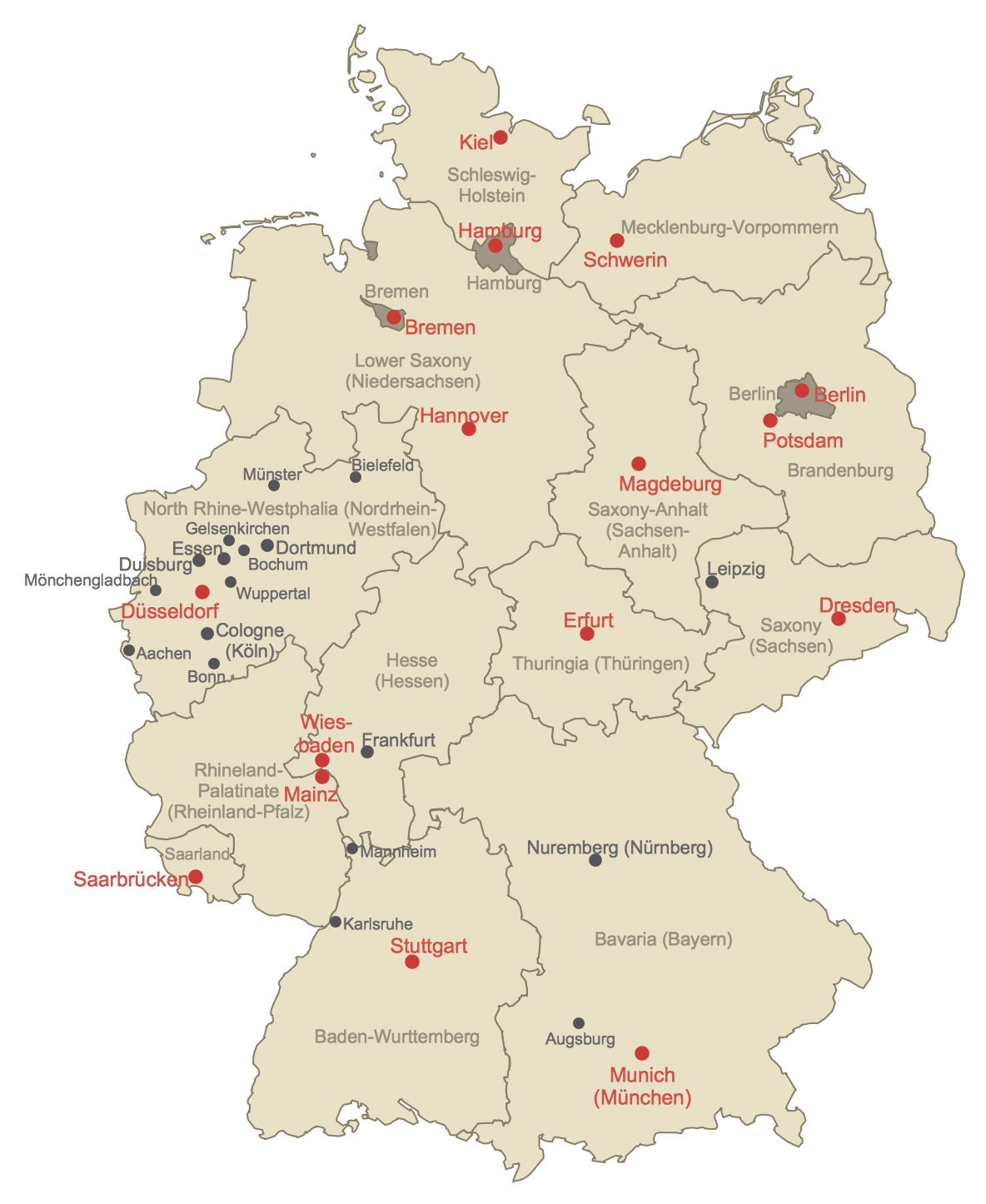
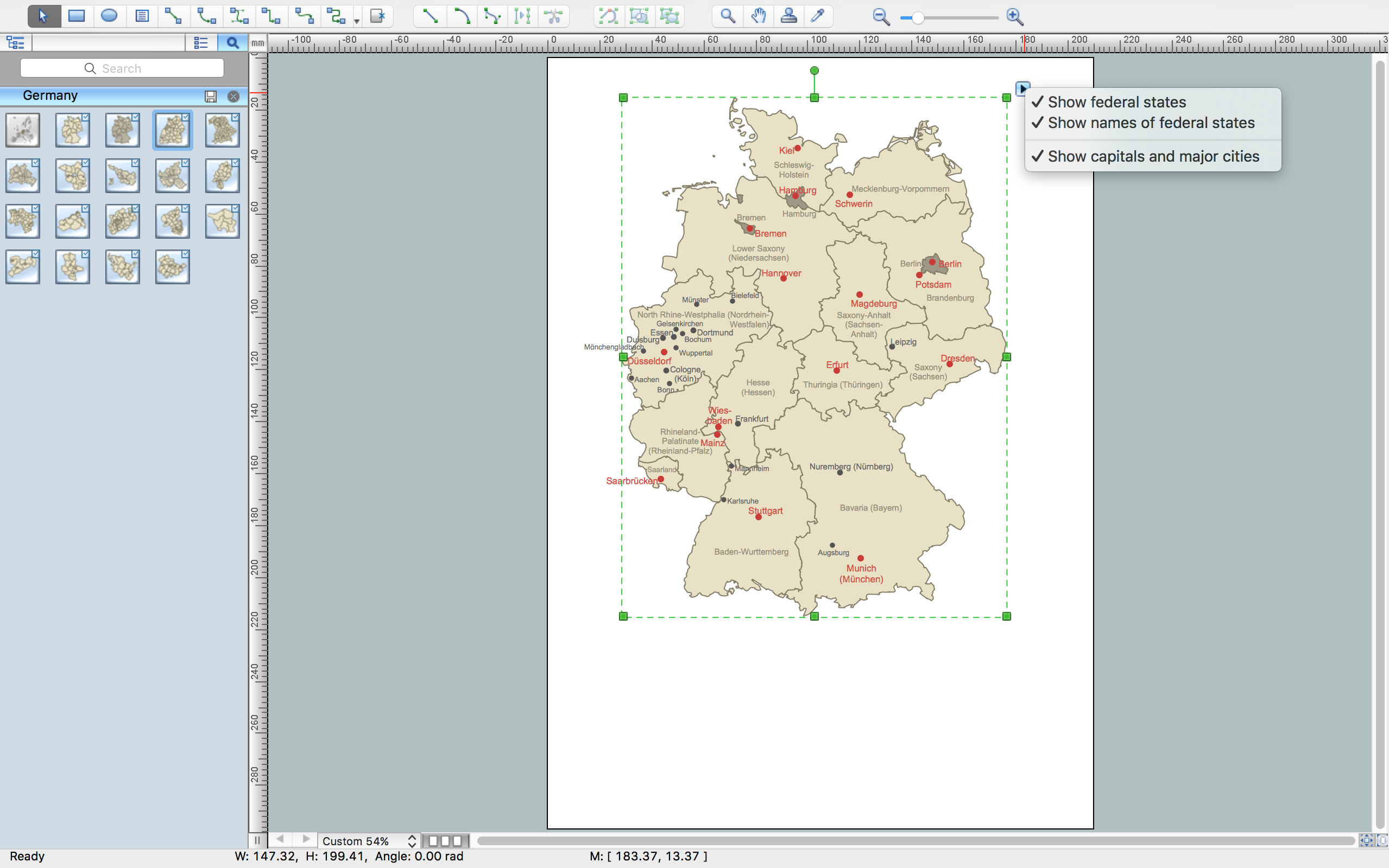
Geographical thematic maps are used to display information on a variety of subjects. It is a common way of representing any form of spatial data in relation to a specific geographical area. The Germany Map Solution for ConceptDraw PRO includes all of the German federal states with county outlined borders and major cities. You can quickly create geographic maps, cartograms, and thematic maps for geographical visualization information for business and travels.
 Germany Map
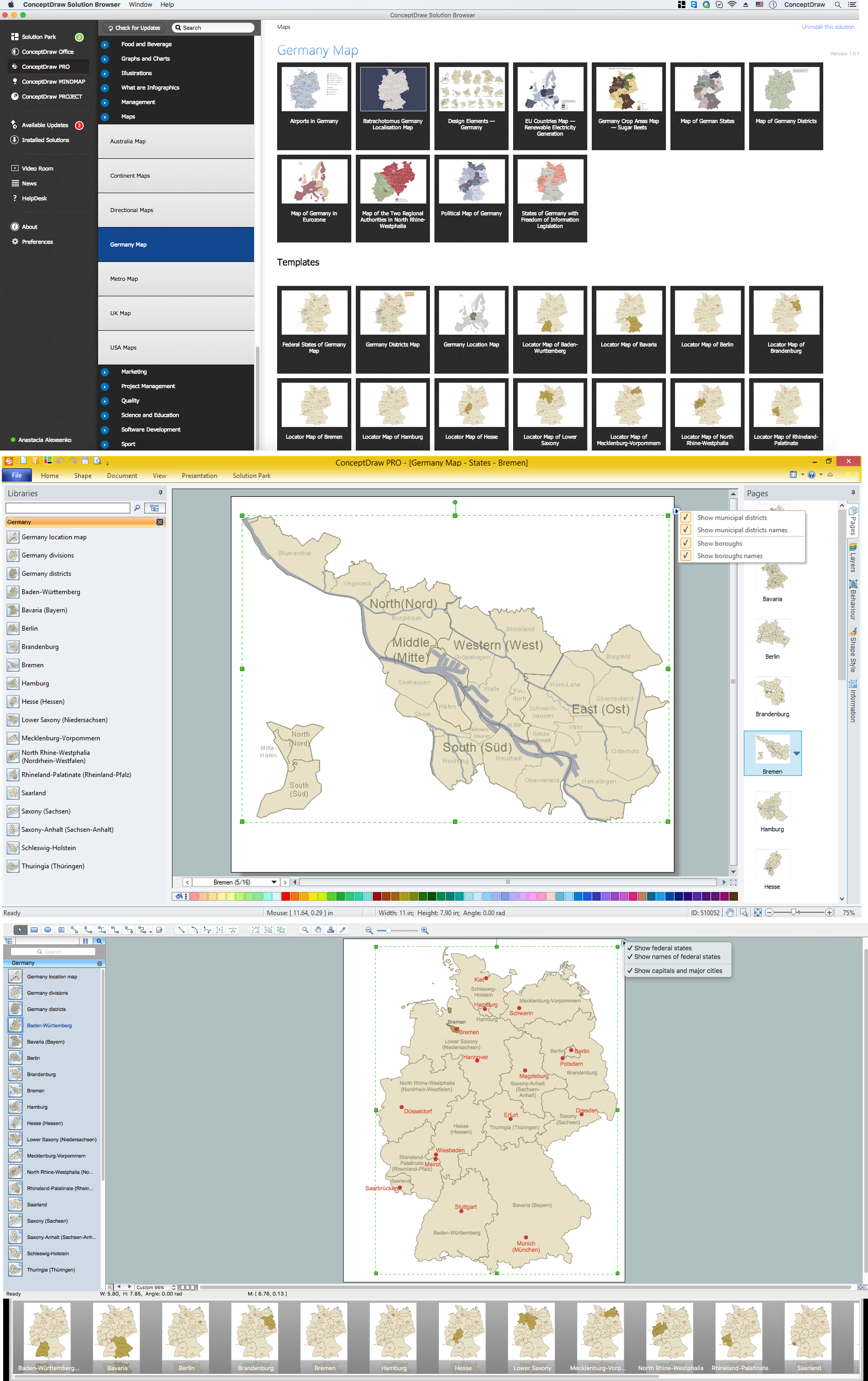
The Germany Map solution contains collection of samples, templates and scalable vector stencil graphic maps, representing map of Germany and all 16 states of Germany. Use the Germany Map solution from ConceptDraw Solution Park as the base for various them
Map of Germany
Germany, officially the Federal Republic of Germany, is a federal parliamentary republic in West-Central Europe. You need design the map of Germany or detailed map of Germany with cities fast and easy? We reccomend you to use the indispensable ConceptDraw PRO diagramming and vector drawing software extended with unique Germany Map Solution from the Maps Area of ConceptDraw Solution Park.Germany Map
Germany is in Western and Central Europe, with Denmark bordering to the north, Poland and the Czech Republic to the east, Austria to the southeast, Switzerland to the south-southwest, France, Luxembourg and Belgium lie to the west, and the Netherlands to the northwest. ConceptDraw PRO diagramming and vector drawing software enhanced with Germany Map Solution from the Maps Area of ConceptDraw Solution Park is the best for drawing geographic Germany map, topography, political, and various thematic maps of Germany.Map of Germany — Bremen
The City Municipality of Bremen is a Hanseatic city in northwestern Germany. The Free Hanseatic City of Bremen is the smallest of Germany's 16 states. Despite the fact that the maps surround us everywhere in our life, usually the process of their drawing is sufficienly complex and labor-intensive. But now, thanks to the ConceptDraw PRO diagramming and vector drawing software extended with Germany Map Solution from the Maps Area of ConceptDraw Solution Park, we have the possibility to make easier this process. Design fast and easy your own pictorial maps of Germany, map of Germany with cities, and thematic Germany maps in ConceptDraw PRO!Vector Map of Germany
Vector map is the best way to visually present a world, continents, islands, to display location and boundaries of countries and cities. ConceptDraw PRO diagramming and vector drawing software offers the Germany Map Solution from the Maps Area of ConceptDraw Solution Park - the best tool for fast and easy drawing vector map of Germany of any degree of detailing, and thematic cartograms and maps of Germany on its base.Geo Map - Europe - Germany
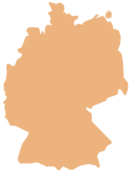
The vector stencils library Germany contains contours for ConceptDraw PRO diagramming and vector drawing software. This library is contained in the Continent Maps solution from Maps area of ConceptDraw Solution Park.
 Maps Area
Solutions from the Maps Area of ConceptDraw Solution Park collect templates, samples and libraries of vector stencils for drawing geographical, directional and transport maps.
Geo Map Software
Geo Map Software - Full Geographic Reach of Your Business with Geo Map Shapes.The vector stencils library "Marketing maps" contains 44 state map contours with capitals and major cities: the Group of Twenty (G20) state maps, EU state maps and World map.
Use it to visualize geospatial information in your marketing infograms.
"The Group of Twenty (also known as the G-20 or G20) is a forum for the governments and central bank governors from 20 major economies. The members, shown highlighted on the map at right, include 19 individual countries—Argentina, Australia, Brazil, Canada, China, France, Germany, India, Indonesia, Italy, Japan, Republic of Korea, Mexico, Russian Federation, Saudi Arabia, South Africa, Turkey, United Kingdom, United States—and the European Union (EU). The EU is represented by the European Commission and by the ECB." [G-20 major economies. Wikipedia]
The G-20 state map contours example "Design elements - Marketing maps (G-20)" was created using the ConceptDraw PRO diagramming and vector drawing software extended with the Marketing Infographics solition from the area "Business Infographics" in ConceptDraw Solution Park.
 Australia Map
For graphic artists creating accurate maps of Australia. The Australia Map solution - allows designers to map Australia for their needs, offers a collection of scalable graphics representing the political geography of Australia, split into distinct state
Map of USA States
How to design USA map fast and easy? It is convenient to use special software. ConceptDraw PRO diagramming and vector drawing software includes the USA Maps Solution which was specially developed to make easier drawing process of USA Maps, Map of USA States, various USA thematic maps and cartograms.
 Business Package for Management
Package intended for professional who designing and documenting business processes, preparing business reports, plan projects and manage projects, manage organizational changes, prepare operational instructions, supervising specific department of an organization, workout customer service processes and prepare trainings for customer service personal, carry out a variety of duties to organize business workflow.
- Major Cities In Germany Map
- Germany Map With Major Cities
- Map Of Major German Cities
- Germany Map | Maps of Germany With Cities | Map of Germany ...
- How to Create a Map of Germany Using ConceptDraw PRO ...
- Map of Germany — Saarland State | Germany Map | Map of ...
- Geo Map - Europe - Germany | How to Create a Map of Germany ...
- Maps of Germany With Cities | Map of Germany — Bremen | Map of ...
- German Map Of Cities
- Geo Map - Europe - Belarus | Vector Map of Germany | Geo Map ...
- How to Create a Map of Germany Using ConceptDraw PRO | World ...
- How to Draw a Map of North America Using ConceptDraw PRO ...
- Maps of Germany With Cities | Germany Map | Map of Germany ...
- How to Create a Map of Germany Using ConceptDraw PRO | Maps ...
- Germany Map | Geo Map - Europe - Germany | How to Create a Map ...
- Vector Map of Germany | How to Create a Map of Germany Using ...
- Infographic software: the sample of New York City Subway map ...
- Vector Map of Germany | Maps of Germany With Cities | Map of ...
- Map Of United States Cities
- Maps of Germany With Cities | Map of Germany — Baden ...


-state-maps-design-elements---marketing-maps-(g-20).png--diagram-flowchart-example.png)
