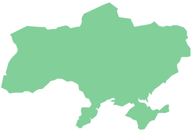
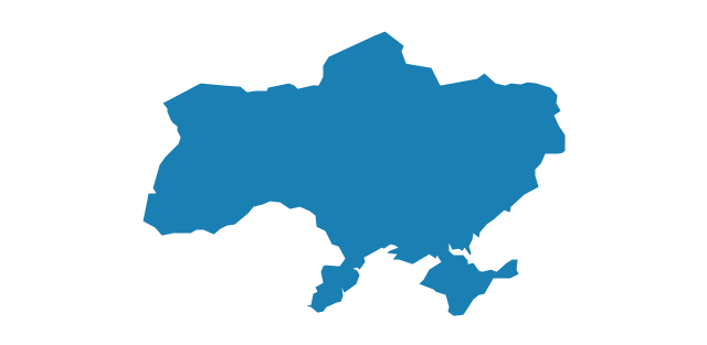
Geo Map - Europe - Ukraine
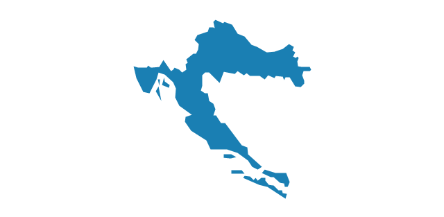
The vector stencils library Ukraine contains contours for ConceptDraw PRO diagramming and vector drawing software. This library is contained in the Continent Maps solution from Maps area of ConceptDraw Solution ParkThe vector stencils library "Europe" contains 39 country contours for drawing thematic maps of Europe.
Use it in your spatial infographics for visual representation of geospatial information, statistics and quantitative data in the ConceptDraw PRO diagramming and vector drawing software extended with the Spatial Infographics solution from the area "What is Infographics" of ConceptDraw Solution Park.
Use it in your spatial infographics for visual representation of geospatial information, statistics and quantitative data in the ConceptDraw PRO diagramming and vector drawing software extended with the Spatial Infographics solution from the area "What is Infographics" of ConceptDraw Solution Park.
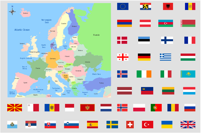
"Alphabetical list of subregions in the United Nations geoscheme for Europe.
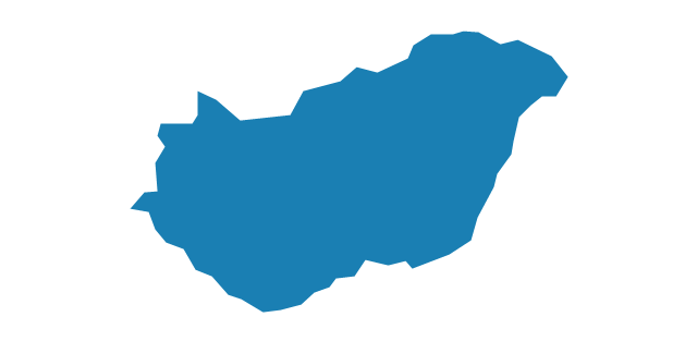
Eastern Europe: Belarus, Bulgaria, Czech Republic, Hungary, Moldova, Poland, Romania, Russia, Slovakia, Ukraine.
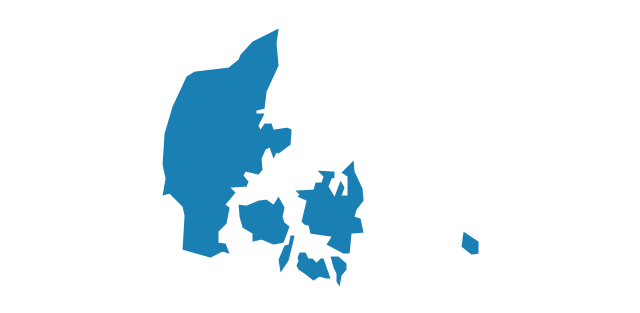
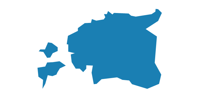
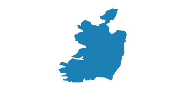
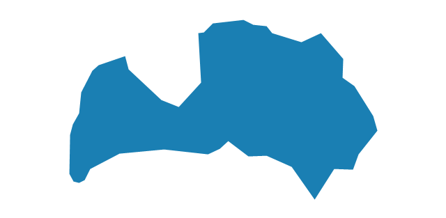
Northern Europe: Åland Islands, Denmark, Estonia, Faroe Islands, Finland, Guernsey, Iceland, Ireland, Isle of Man, Jersey, Latvia, Lithuania, Norway, Svalbard and Jan Mayen, Sweden, United Kingdom.
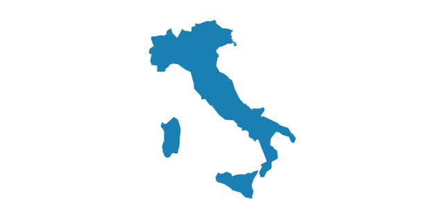
Southern Europe: Albania, Andorra, Bosnia and Herzegovina, Croatia, Gibraltar, Greece, Italy, Malta, Montenegro, Portugal, Macedonia, San Marino, Serbia, Slovenia, Spain, Vatican City.
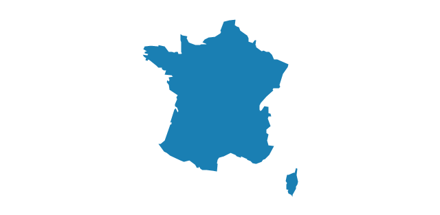
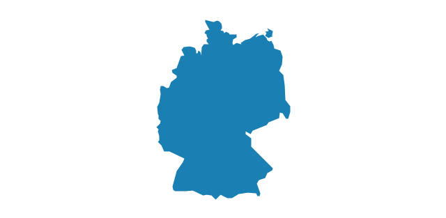
Western Europe: Austria, Belgium, France, Germany, Liechtenstein, Luxembourg, Monaco, Netherlands, Switzerland." [United Nations geoscheme for Europe. Wikipedia]
The example "Political map of Europe" illustrated with European state flags was created using the ConceptDraw PRO diagramming and vector drawing software extended with the Continent Maps solution from the Maps area of ConceptDraw Solution Park.
Geo Map - Europe - Switzerland
The vector stencils library Switzerland contains contours for ConceptDraw PRO diagramming and vector drawing software. This library is contained in the Continent Maps solution from Maps area of ConceptDraw Solution Park.Geo Map - Europe - Austria
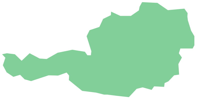
The vector stencils library Austria contains contours for ConceptDraw PRO diagramming and vector drawing software. This library is contained in the Continent Maps solution from Maps area of ConceptDraw Solution Park.Geo Map - Europe - Belarus
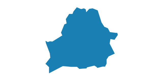
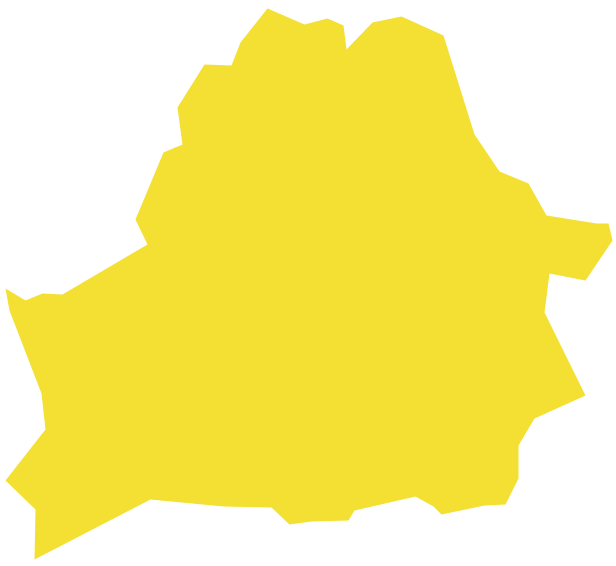
The vector stencils library Belarus contains contours for ConceptDraw PRO diagramming and vector drawing software. This library is contained in the Continent Maps solution from Maps area of ConceptDraw Solution Park.Geo Map - Europe - Lithuania
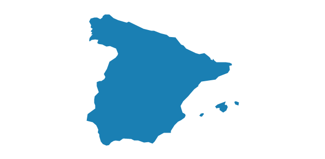
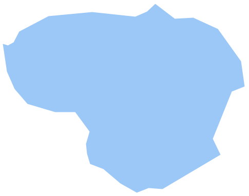
The vector stencils library Lithuania contains contours for ConceptDraw PRO diagramming and vector drawing software. This library is contained in the Continent Maps solution from Maps area of ConceptDraw Solution Park.Geo Map - Europe - Spain
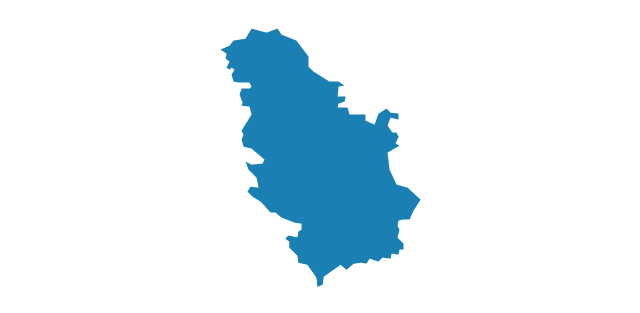
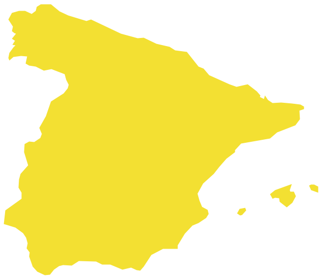
The vector stencils library Spain contains contours for ConceptDraw PRO diagramming and vector drawing software. This library is contained in the Continent Maps solution from Maps area of ConceptDraw Solution Park.Geo Map - Europe - Serbia
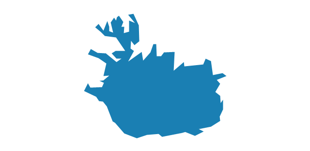
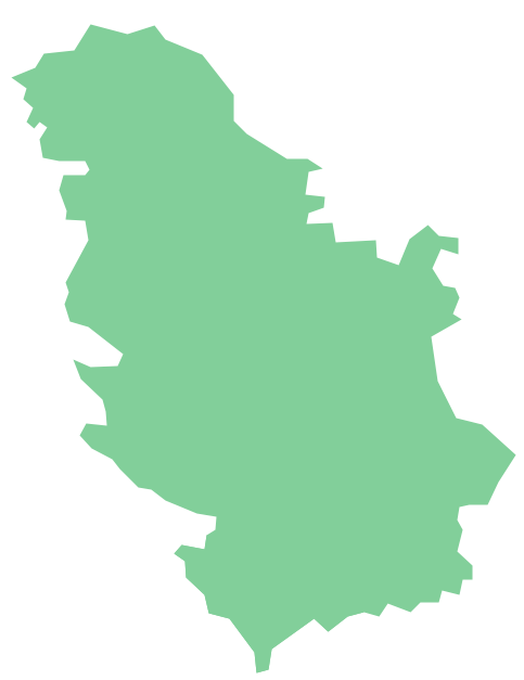
The vector stencils library Serbia contains contours for ConceptDraw PRO diagramming and vector drawing software. This library is contained in the Continent Maps solution from Maps area of ConceptDraw Solution Park.Geo Map - Europe - Iceland
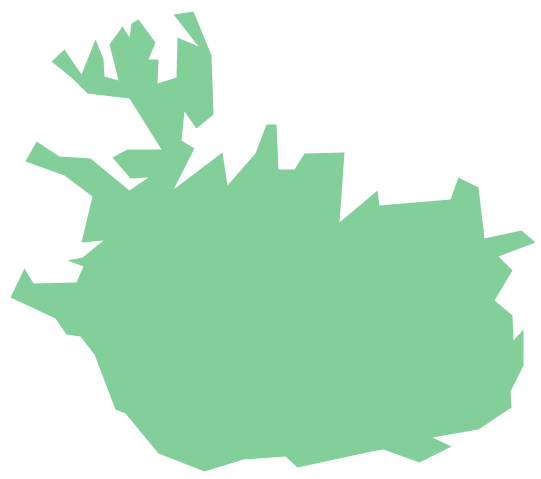
The vector stencils library Iceland contains contours for ConceptDraw PRO diagramming and vector drawing software. This library is contained in the Continent Maps solution from Maps area of ConceptDraw Solution Park.Geo Map - Europe - Czech Republic
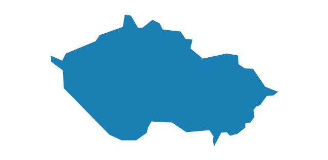
The vector stencils library Czech Republic contains contours for ConceptDraw PRO diagramming and vector drawing software. This library is contained in the Continent Maps solution from Maps area of ConceptDraw Solution Park.Geo Map - Europe - Bosnia and Herzegovina
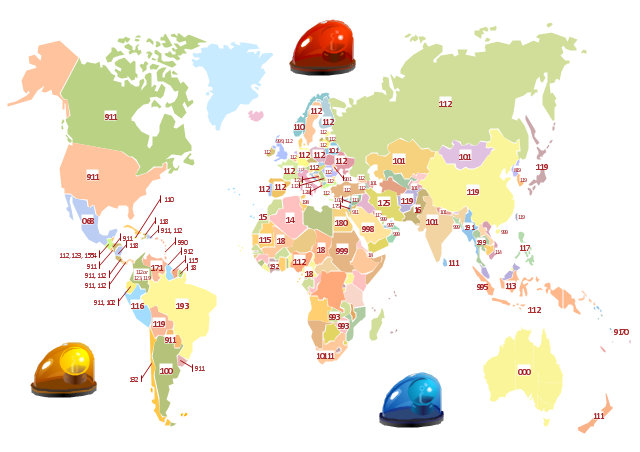
The vector stencils library Bosnia and Herzegovina contains contours for ConceptDraw PRO diagramming and vector drawing software. This library is contained in the Continent Maps solution from Maps area of ConceptDraw Solution Park."In many countries the public telephone network has a single emergency telephone number (sometimes known as the universal emergency telephone number or occasionally the emergency services number) that allows a caller to contact local emergency services for assistance. The emergency number differs from country to country; it is typically a three-digit number so that it can be easily remembered and dialed quickly. Some countries have a different emergency number for each of the different emergency services; these often differ only by the last digit. In the European Union, Russia, Ukraine and Switzerland and others "112" was introduced as a common emergency call number during the 1990s, and as the GSM standard it is now a well known mobile telephone emergency number across the globe alongside the North American "911"." [Emergency telephone number. Wikipedia]
The thematic map example "Emergency number map" is contained in the Safety and Security solution from the Illustration area of ConceptDraw Solution Park.
The thematic map example "Emergency number map" is contained in the Safety and Security solution from the Illustration area of ConceptDraw Solution Park.
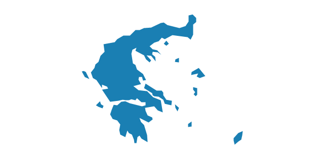
Geo Map - Europe - Greece
Greece is strategically located at the crossroads of Europe, Asia, and Africa.The vector stencils library Greece contains contours for ConceptDraw PRO diagramming and vector drawing software. This library is contained in the Continent Maps solution from Maps area of ConceptDraw Solution Park.
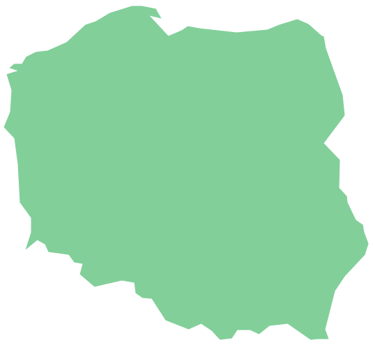
Geo Map - Europe - Poland
The vector stencils library Poland contains contours for ConceptDraw PRO diagramming and vector drawing software. This library is contained in the Continent Maps solution from Maps area of ConceptDraw Solution Park.- Political Map Of Spain
- Europe - Vector stencils library | Education maps - Vector stencils ...
- How To Draw A Moldova Map
- Map Of Europe
- Geo Map - Europe - Ukraine | | | Ukraine
- Geo Map - Europe - Moldova
- Geo Map - Europe - Ukraine
- Geo Map - Europe - Ukraine
- Europe Map White For Mapping
- Map Of France Germany And Europe
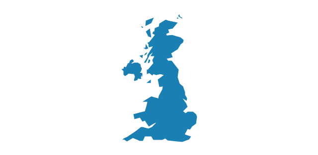
- Political map of Europe | Geo Map - Europe - United Kingdom | Geo ...
- Geo Map - Europe - Belarus
- Political map of Europe | European membership of the EU and ...
- Europe France On Map
- Geo Map - Europe - Romania | Europe - Vector stencils library ...
- Political map of Europe | Map Software | Continent Maps | Map Of ...
- Geo Map - Europe - Belgium | Europe - Vector stencils library | Geo ...
- Map Of Europe Around France
- Geo Map - Europe - Albania
