Continents and Oceans Map
You need design a continent map, world continents map, continents and oceans map, or any other type of continent maps? Now, it's very easy thanks to the ConceptDraw PRO diagramming and vector drawing software supplied with Continent Maps Solution from the Maps Area of ConceptDraw Solution Park.Map of Continents
A continent is one of several very large landmasses on Earth. ConceptDraw PRO diagramming and vector drawing software offers the unique Continent Maps Solution from the Maps Area which is indispensable for drawing the map of continents of the Earth.World Continents Map
ConceptDraw PRO diagramming and vector drawing software enhanced with Continent Maps Solution from the Maps Area is the best for drawing geographic, topography, political, and many other kinds of maps for any of seven earth continents and also world continents map of any detailing.UK Map
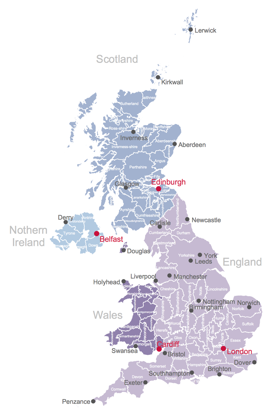
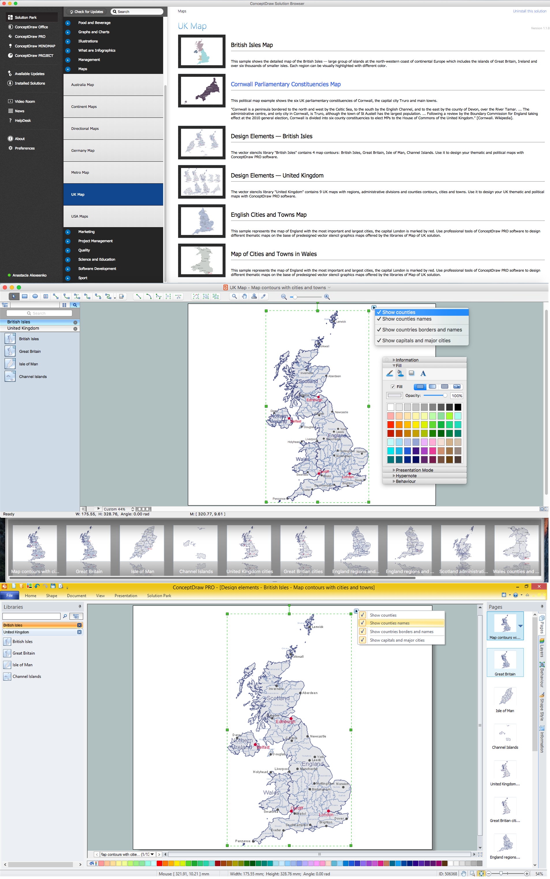
The United Kingdom of Great Britain and Northern Ireland, commonly known as the United Kingdom (UK), is a sovereign state in Europe which consists of four countries: England, Scotland, Wales, and Northern Ireland. UK is surrounded by the waters of Atlantic ocean, the North Sea, the English Channel, and the Irish Sea and includes large number of big and small islands. ConceptDraw PRO diagramming and vector drawing software offers the unique Map of UK Solution from the Maps Area of ConceptDraw Solution Park that is indispensable for easy drawing professional looking map of UK, UK counties map, UK map with cities, map of Scotland, map of England, map of Wales, Northern Ireland map.Subway Train Map
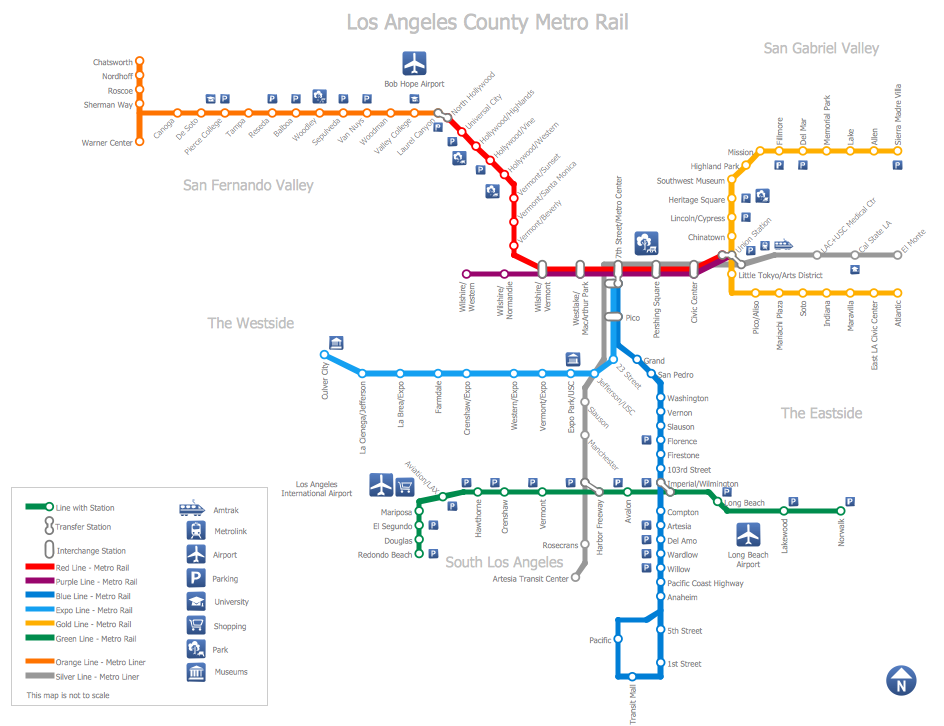
You want create a Subway Train Map fast and easy? Use the excellent tool - ConceptDraw PRO diagramming and vector drawing software. Extended with Metro Map Solution from the Maps Area, it is the best for drawing various types of metro maps.Map of Germany
Germany, officially the Federal Republic of Germany, is a federal parliamentary republic in West-Central Europe. You need design the map of Germany or detailed map of Germany with cities fast and easy? We reccomend you to use the indispensable ConceptDraw PRO diagramming and vector drawing software extended with unique Germany Map Solution from the Maps Area of ConceptDraw Solution Park.
 Continent Maps
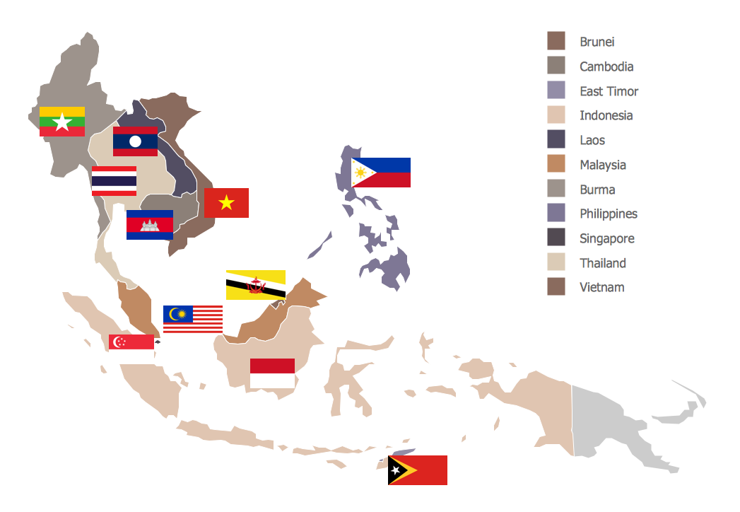
Continent Maps solution extends ConceptDraw PRO software with templates, samples and libraries of vector stencils for drawing the thematic maps of continents, state maps of USA and Australia.
Map of UK
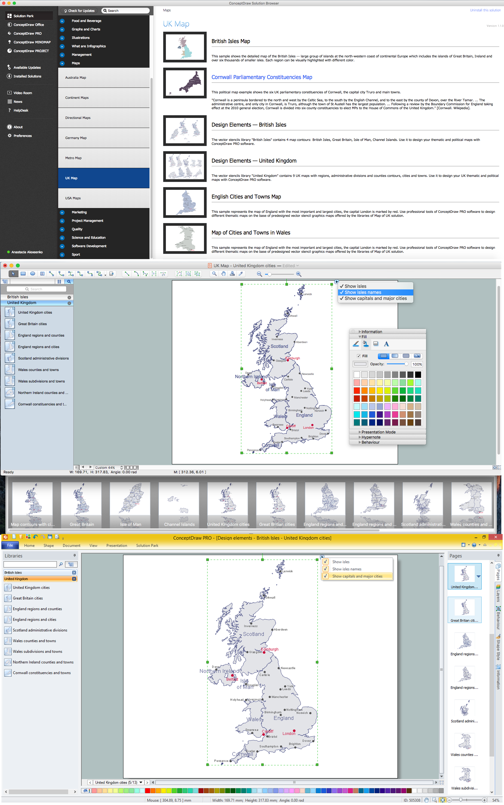
The United Kingdom of Great Britain and Northern Ireland, commonly known as the United Kingdom (UK) or Britain, is a sovereign state in Europe. How to design the Map of UK fast and easy? It is incredibly convenient to use special software. ConceptDraw PRO diagramming and vector drawing software offers the Map of UK Solution from the Maps Area of ConceptDraw Solution Park specially developed to make easier drawing the maps of UK counties, various UK related thematic maps and cartograms on their base.United Kingdom Cities
The United Kingdom of Great Britain and Northern Ireland, commonly known as the United Kingdom (UK) or Britain, is a sovereign state in Europe. How to design the Map of UK fast and easy? It is incredibly convenient to use special software. ConceptDraw PRO diagramming and vector drawing software offers the Map of UK Solution from the Maps Area of ConceptDraw Solution Park specially developed to make easier drawing the maps of UK counties, various UK related thematic maps and cartograms on their base.Geo Map - South America Continent
South America includes 12 sovereign states. ConceptDraw PRO is idea to draw the geological maps of South America continent from the pre-designed vector geo map shapes. Use Continent Maps solution from the Maps area of ConceptDraw Solution Park to draw thematic maps, geospatial infographics and vector illustrations for your business documents, presentations and websites.Geo Map - USA - Alaska
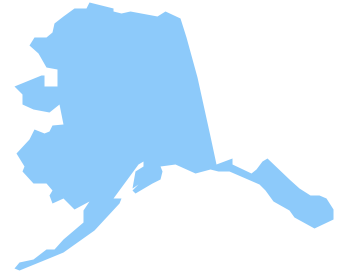
Alaska is a U.S. state situated in the northwest extremity of the North American continent. The vector stencils library Alaska contains contours for ConceptDraw PRO diagramming and vector drawing software. This library is contained in the Continent Maps solution from Maps area of ConceptDraw Solution Park.Map of UK — Channel Islands
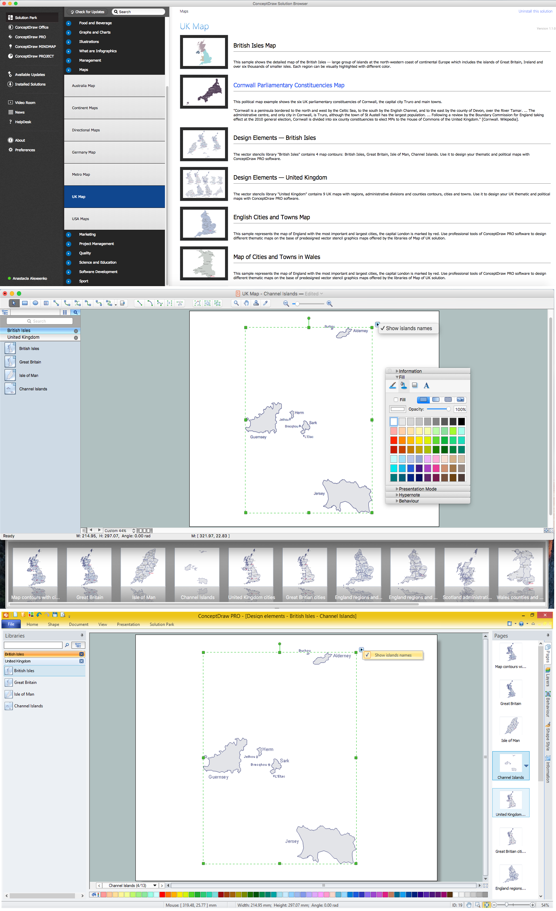
The Channel Islands are an archipelago in the English Channel, off the French coast of Normandy. How to design the Map of UK fast and easy? It is incredibly convenient to use special software. ConceptDraw PRO diagramming and vector drawing software offers the Map of UK Solution from the Maps Area of ConceptDraw Solution Park specially developed to make easier drawing the maps of UK counties, various UK related thematic maps and cartograms on their base.Watercraft - Design Elements
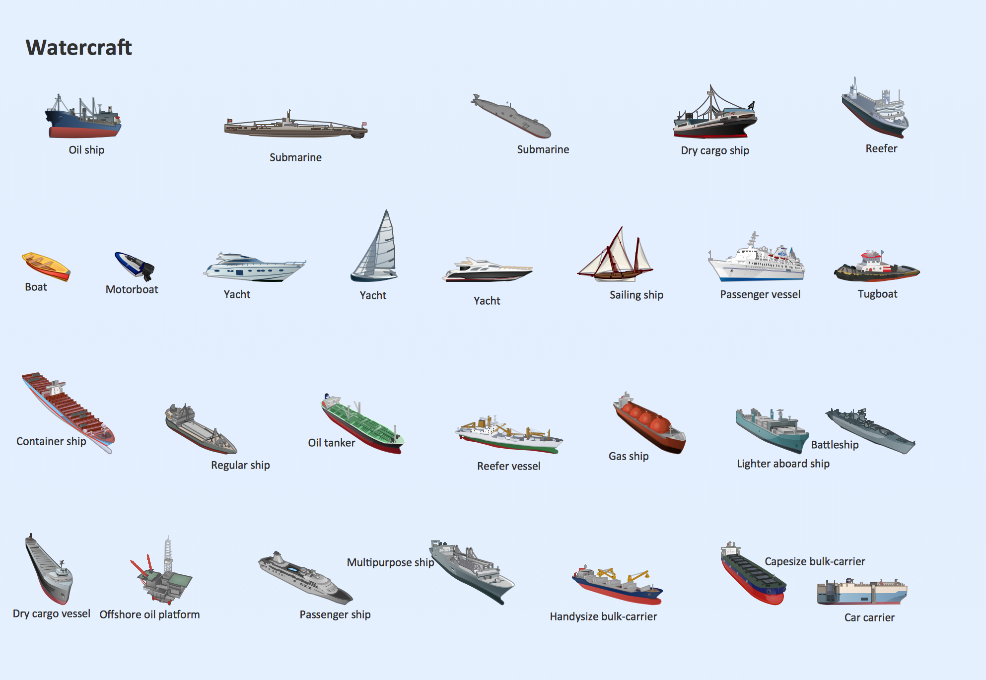
The vector stencils library Watercraft contains clipart of ships, boats, yachts, submarines for ConceptDraw PRO diagramming and vector drawing software. Use it to draw illustrations of vessels and water transport over a sea, ocean, lake, canal, river.Rail transport - Design elements
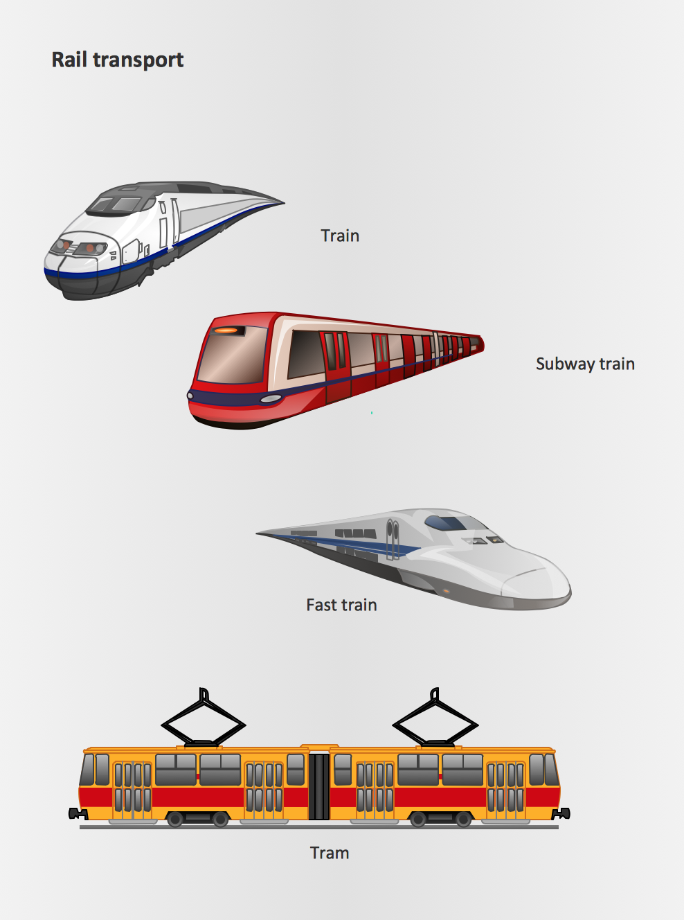
The vector stencils library Rail transport contains clipart of railway transport for ConceptDraw PRO diagramming and vector drawing software. Use it to draw illustrations of trains and transportation of passengers and goods by railroads.Contours Map of UK
The United Kingdom of Great Britain and Northern Ireland, commonly known as the United Kingdom (UK) or Britain, is a sovereign state in Europe. How to design the Map of UK fast and easy? It is incredibly convenient to use special software. ConceptDraw PRO diagramming and vector drawing software offers the Map of UK Solution from the Maps Area of ConceptDraw Solution Park specially developed to make easier drawing the maps of UK counties, various UK related thematic maps and cartograms on their base.- Spatial infographics Design Elements: Continental Map | Continent ...
- Geo Map - Asia - Philippines | Asia map with capitals - Template ...
- Nature Drawings - How to Draw | Building Drawing Design Element ...
- Northern Ireland Counties Map
- Continents and Oceans Map | Continent Maps | Amazon Cloud ...
- Continent Maps
- Continents and Oceans Map | Spatial infographics Design Elements ...
- World Continents Map | Continent Maps | Continents and Oceans ...
- Continents and Oceans Map | Geo Map - Asia - Mongolia | Continent ...
- Continent Maps | Geo Map - South America Continent | Spatial ...
- World Continents Map | Continents and Oceans Map | Continent ...
- Germany Map | Germany Map | Vector Map of Germany | Germanymap
- Continents and Oceans Map | Continent Maps | AWS | Easy ...
- Examples Of Asian Map
- Continent Map
- Spatial infographics Design Elements: Continental Map | 7 ...
- Asian Map Designs
- Maps Of The Continents
- Geo Map - Europe - Germany | Map of Germany | Germany Map ...
