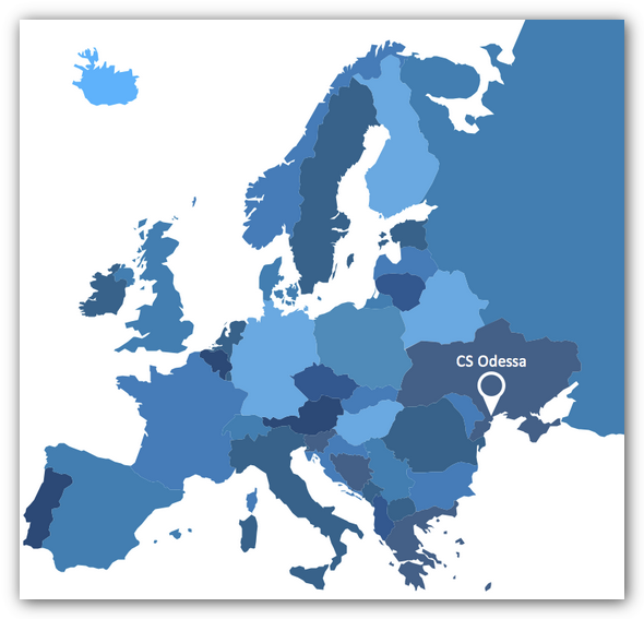
Visualization Spatial Data Using Thematic Maps Combined with Infographics
Now anyone can build an infographics from their data using ConceptDraw.Nice and simple, but the features it have are power-packed!
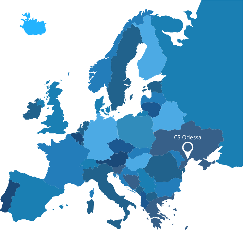
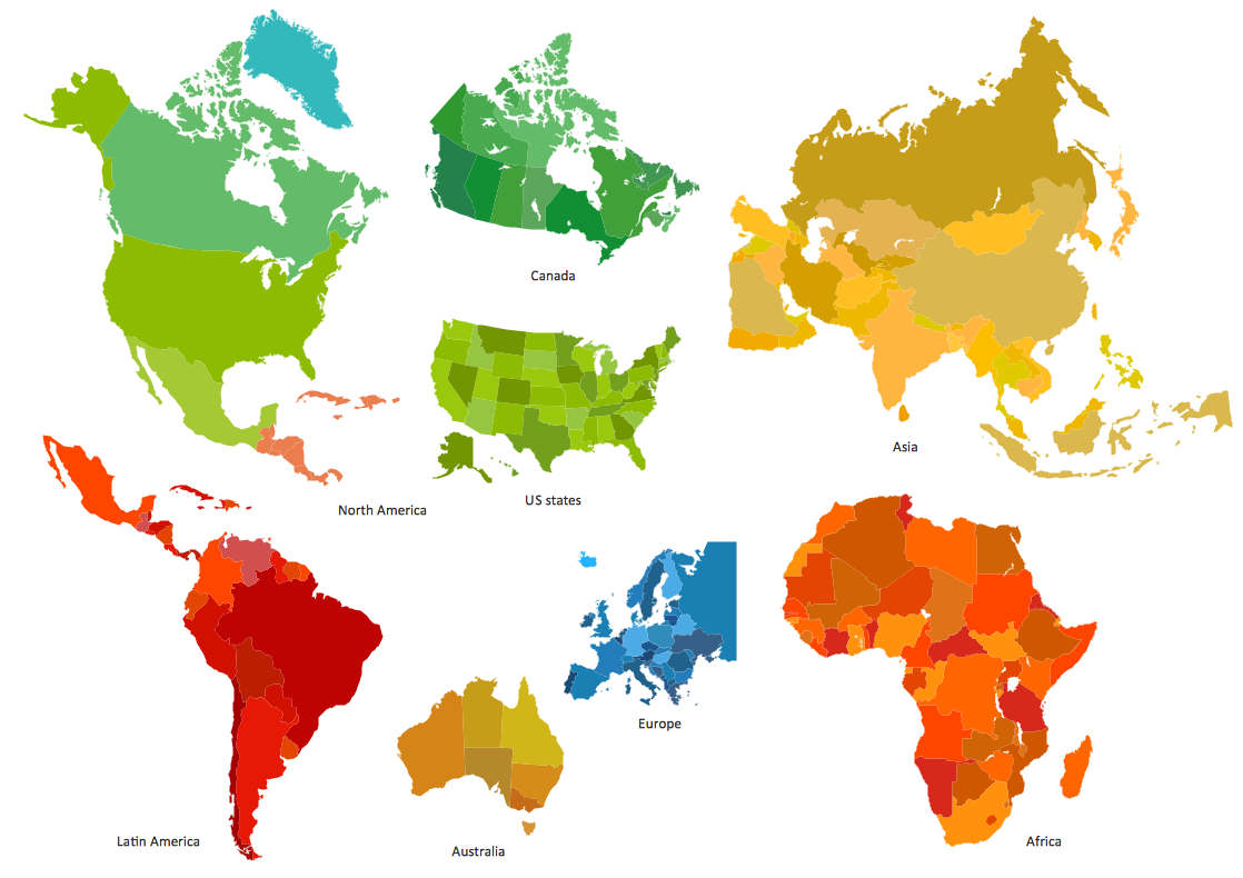
Spatial infographics Design Elements: Continental Map
ConceptDraw PRO is a software for making infographics illustrations. You can work with various components to build really impressive and easy-to-understand infographics design.How to Create a Powerful Infographic When You do not Have a Designer
Create a powerful infographic, become inspired by the people with ConceptDraw.Spatial Data
How to represent the spatial data quick and easy? All what you need is a powerful spatial infographic software. Never before creation of Spatial Infographics wasn’t so easy as now with Spatial Infographics Solution from the “What are Infographics” Area for ConceptDraw Solution Park.Map Infographic Design
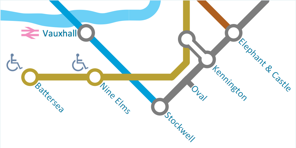
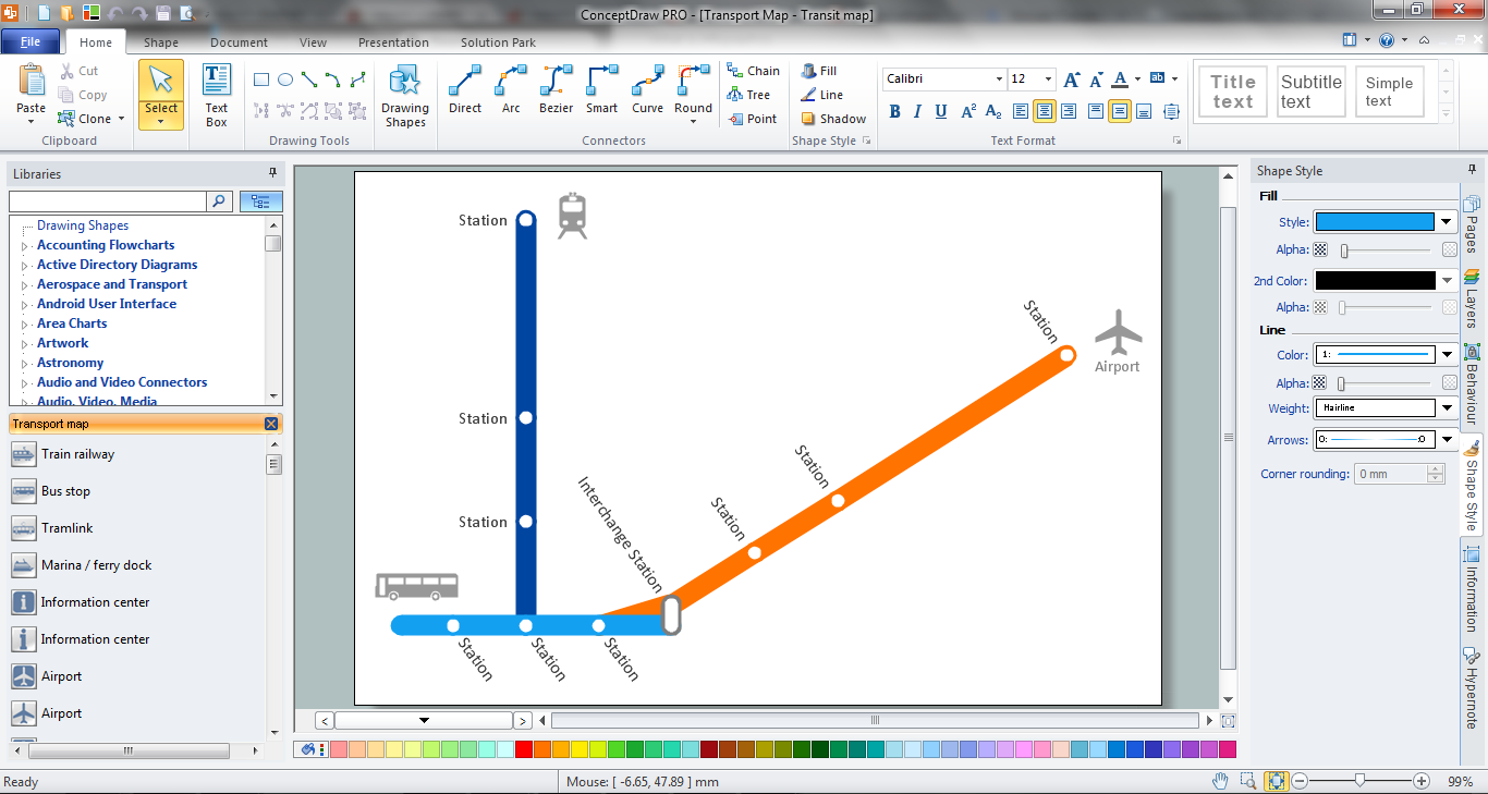
ConceptDraw collection of vector elements for infographics design.Spatial infographics Design Elements: Transport Map
Do you like infographics and data visualization? Creating infographics is super-easy with ConceptDraw.Transportation Infographics
ConceptDraw is a visualization Software for making transportation infographics. Infographics design vector elements and vector graphics which will surely help you in your design process.HelpDesk
How to Create Infographics Using the Spatial Infographics Solution
Tips on how to use ConceptDraw Spatial Infographics Solution. Now you got the tool for quick and easy drawing and presenting of your own simple Spatial Infographics documents.Best Tool for Infographic Construction
ConceptDraw is a best data visualization tool that will allow everyone to create rich infographics and visualizations quickly and easily.Spatial Data Analysis
ConceptDraw PRO diagramming and vector drawing software extended with Pictorial Infographics Solution from the “What are Infographics” Area is the best for Spatial Data Analysis. You have a perfect possibility to make sure this right now.
 Spatial Infographics
Spatial infographics solution extends ConceptDraw PRO software with infographic samples, map templates and vector stencils libraries with design elements for drawing spatial information graphics.
Geospatial Data
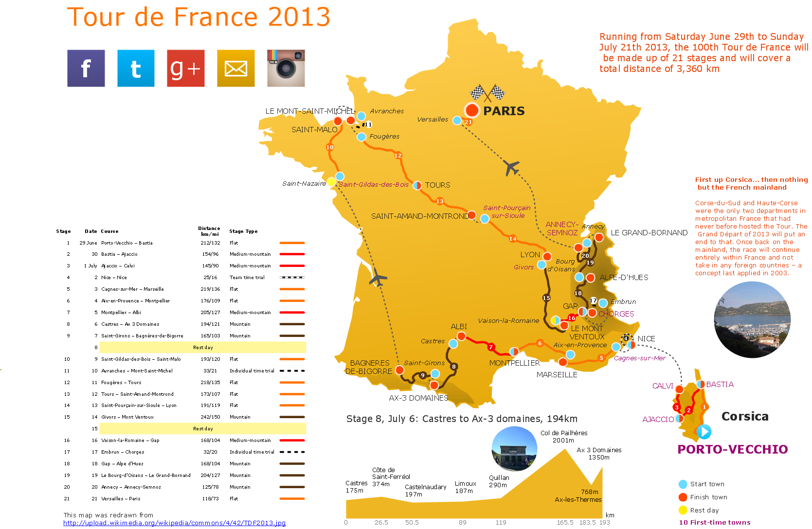
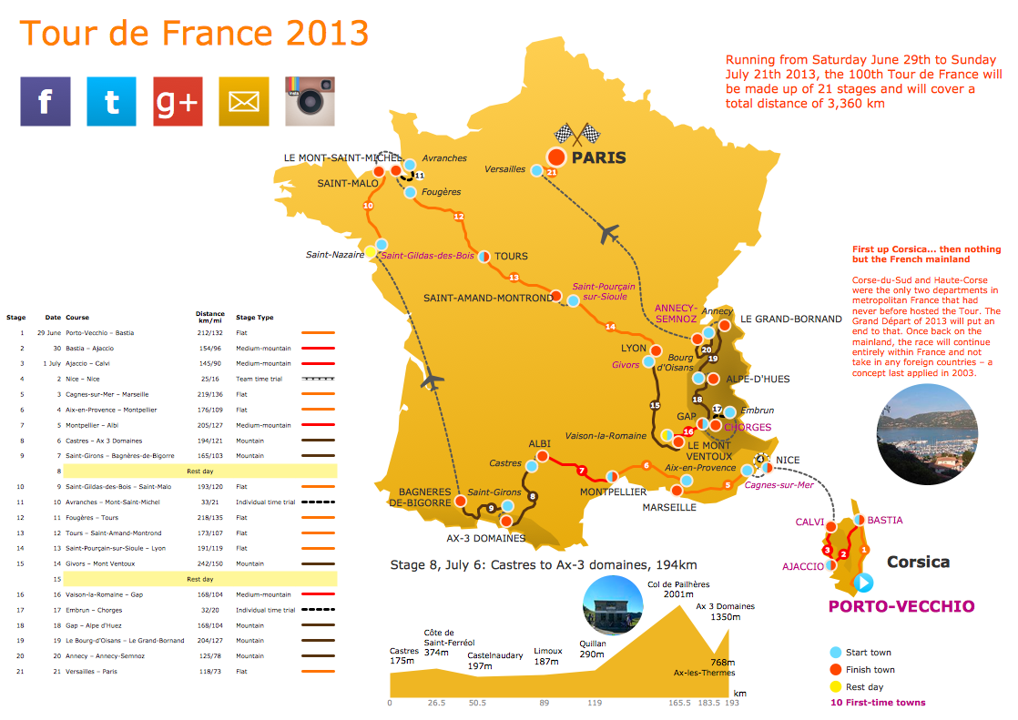
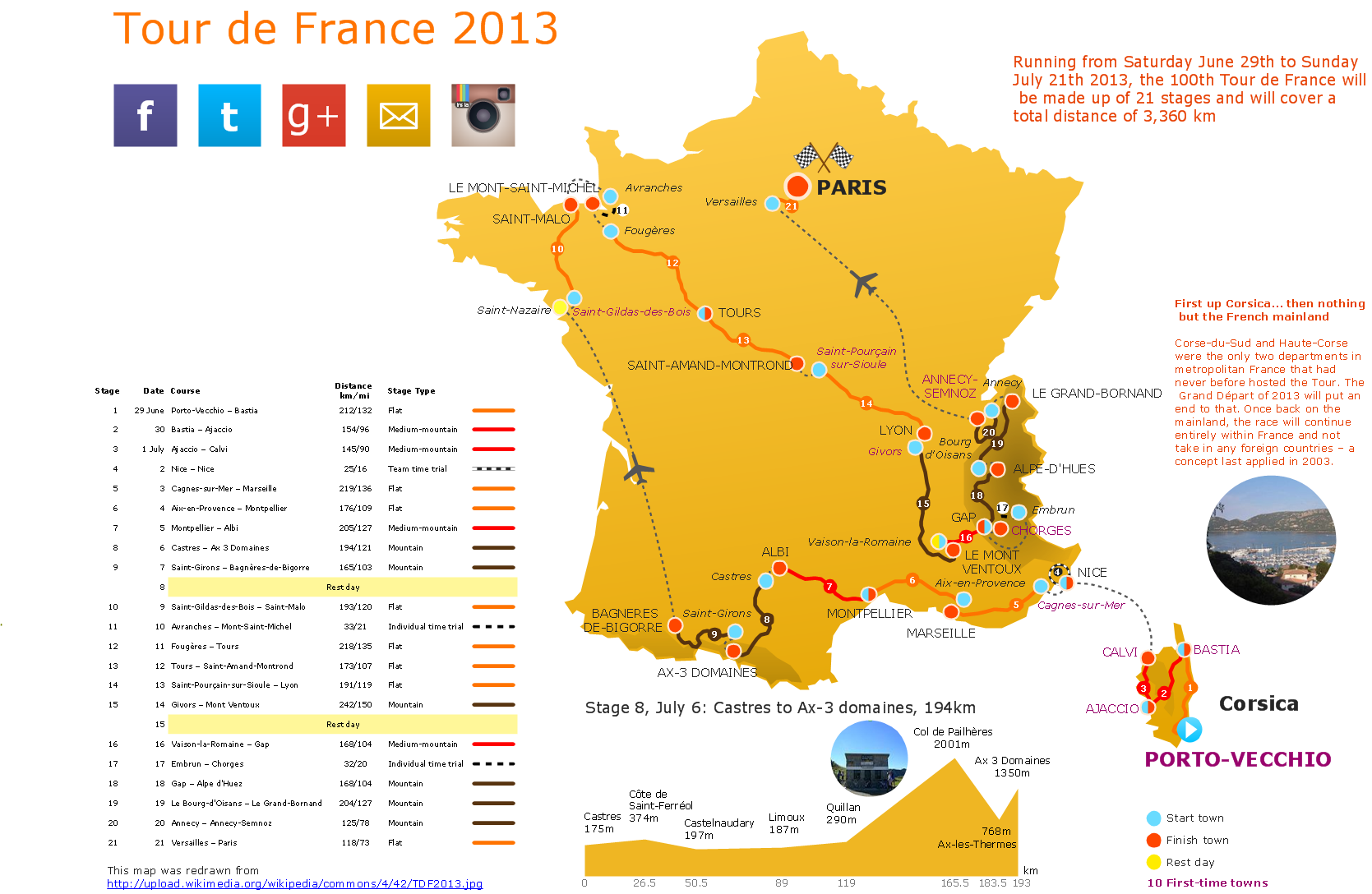
Effective spatial infographics design, easy geospatial data presenting, now it is reality thanks to the extensive drawing tools of the Spatial Infographics Solution included in “What are Infographics” Area of ConceptDraw Solution Park.Travel Infographics
Creating Travel infographics is super-easy with ConceptDraw.Winter Sports Vector Clipart. Medal Map. Spatial Infographics
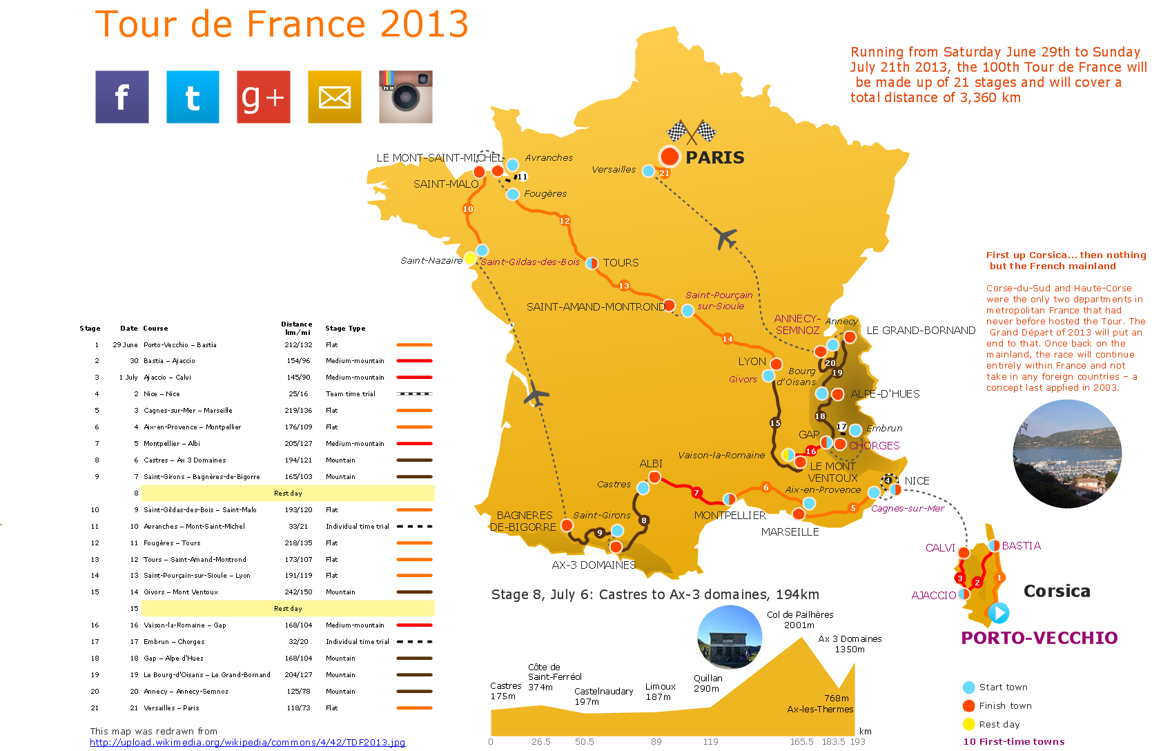
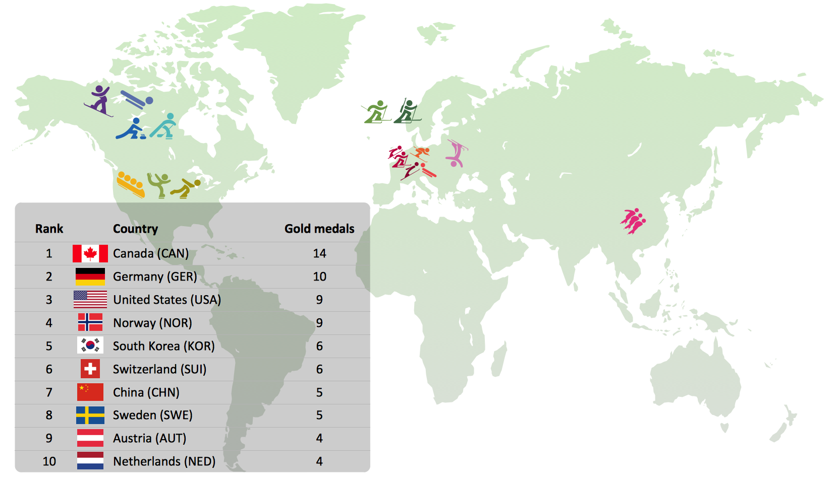
Tracking Olympic results in visual format is the most modern way to deliver statistics to a broad audience. This is a good example of an illustrated table you may easily modify, print, or publish on web from ConceptDraw Winter Sports solution .Map Infographic Creator
Follow samples and map templates to create nfographic maps. It's super-easy!- Map Infographic Creator | Spatial infographics Design Elements ...
- Map Infographic Creator | Visualization Spatial Data Using Thematic ...
- Spatial infographics Design Elements: Continental Map | Spatial ...
- How to Create PowerPoint Presentation from Data Driven ...
- Map Infographic Creator | Visualization Spatial Data Using Thematic ...
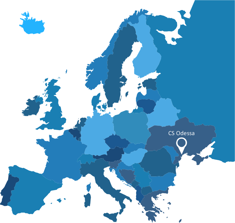
- Map Of Europe And Powerpoint
- Map Of Europe Powerpoint
- Spatial Infographics | What is Infographics Area | ConceptDraw ...
- Map Infographic Creator | Spatial infographics Design Elements ...
- Spatial Data Analysis | Data Flow Diagrams (DFD) | Spatial ...
- SWOT Analysis Tool for Small Business | SWOT Analysis | How to ...
- Enhancing maps using ConceptDraw MINDMAP′s Theme Gallery ...
- Spatial Data Analysis | ConceptDraw Solution Park | Spatial ...
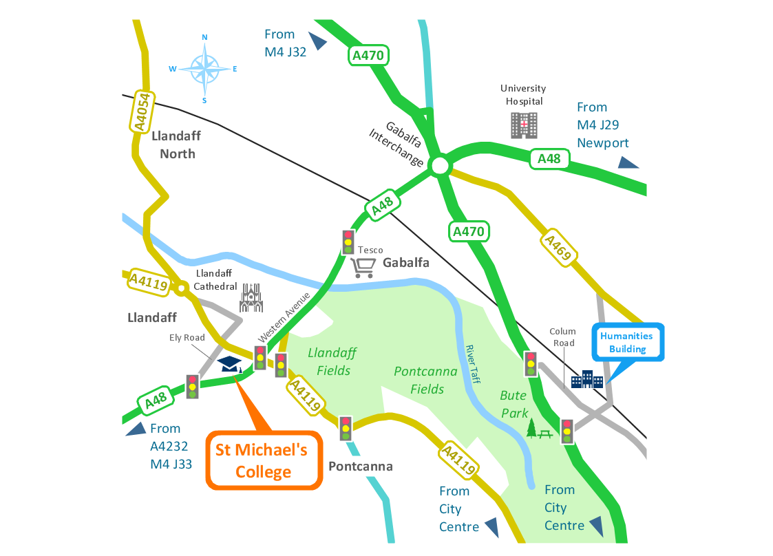
- Spatial infographics Design Elements: Location Map | Directional ...
- SWOT analysis matrix diagram templates | Fishbone Diagram ...
- Visualization Spatial Data Using Thematic Maps Combined with ...
- Languages of South America - Thematic map | Visualization Spatial ...
- Spatial infographics Design Elements: Continental Map | Design ...
- Spatial infographics Design Elements: Continental Map | Geo Map ...
- SWOT Analysis Tool for Small Business | SWOT Analysis | How to ...
