Geo Map - Australia - Nothern Territory
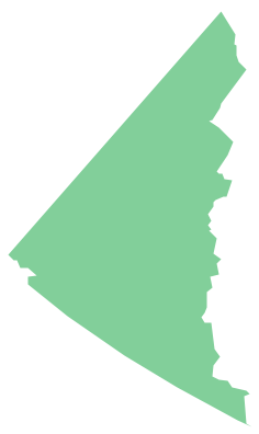
Use the Australia library to draw thematic maps, geospatial infographics and vector illustrations for your business documents, presentations and websites.Geo Map - Canada - Yukon
Yukon is the westernmost and smallest of Canada's three federal territories. Whitehorse is the territorial capital.The vector stencils library Yukon contains contours for ConceptDraw PRO diagramming and vector drawing software. This library is contained in the Continent Maps solution from Maps area of ConceptDraw Solution Park.
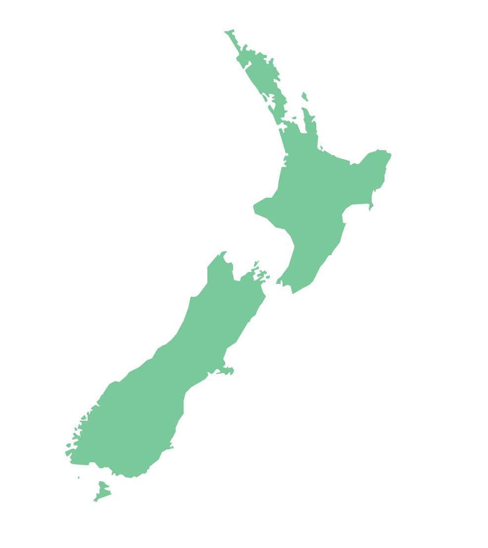
Geo Map - Australia - New Zealand
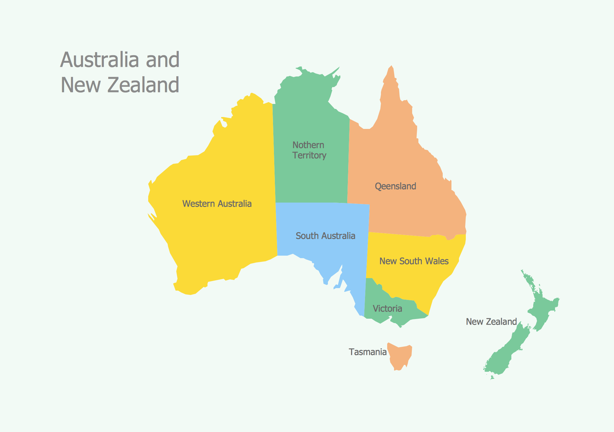
The vector stencils library Australia contains contours of New Zealand and Australian states and mainland territories for ConceptDraw PRO diagramming and vector drawing software.Geo Map - Australia
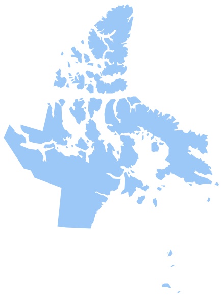
The vector stencils library Australia contains contours of New Zealand and Australian states and mainland territories for ConceptDraw PRO diagramming and vector drawing software.Geo Map - Canada - Nunavut
Nunavut is the largest, northernmost and newest territory of Canada.The vector stencils library Nunavut contains contours for ConceptDraw PRO diagramming and vector drawing software. This library is contained in the Continent Maps solution from Maps area of ConceptDraw Solution Park.
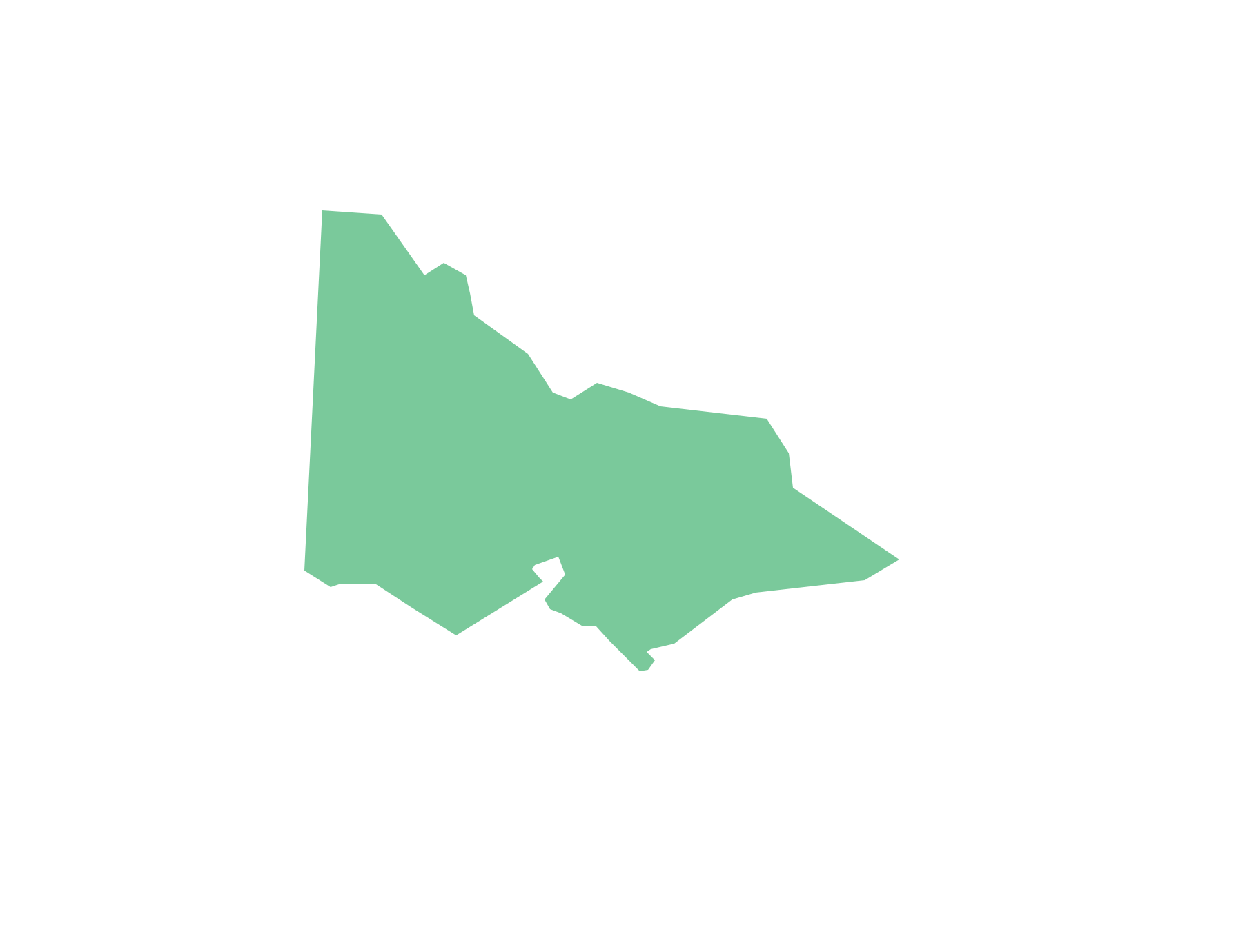
Geo Map - Australia - Victoria
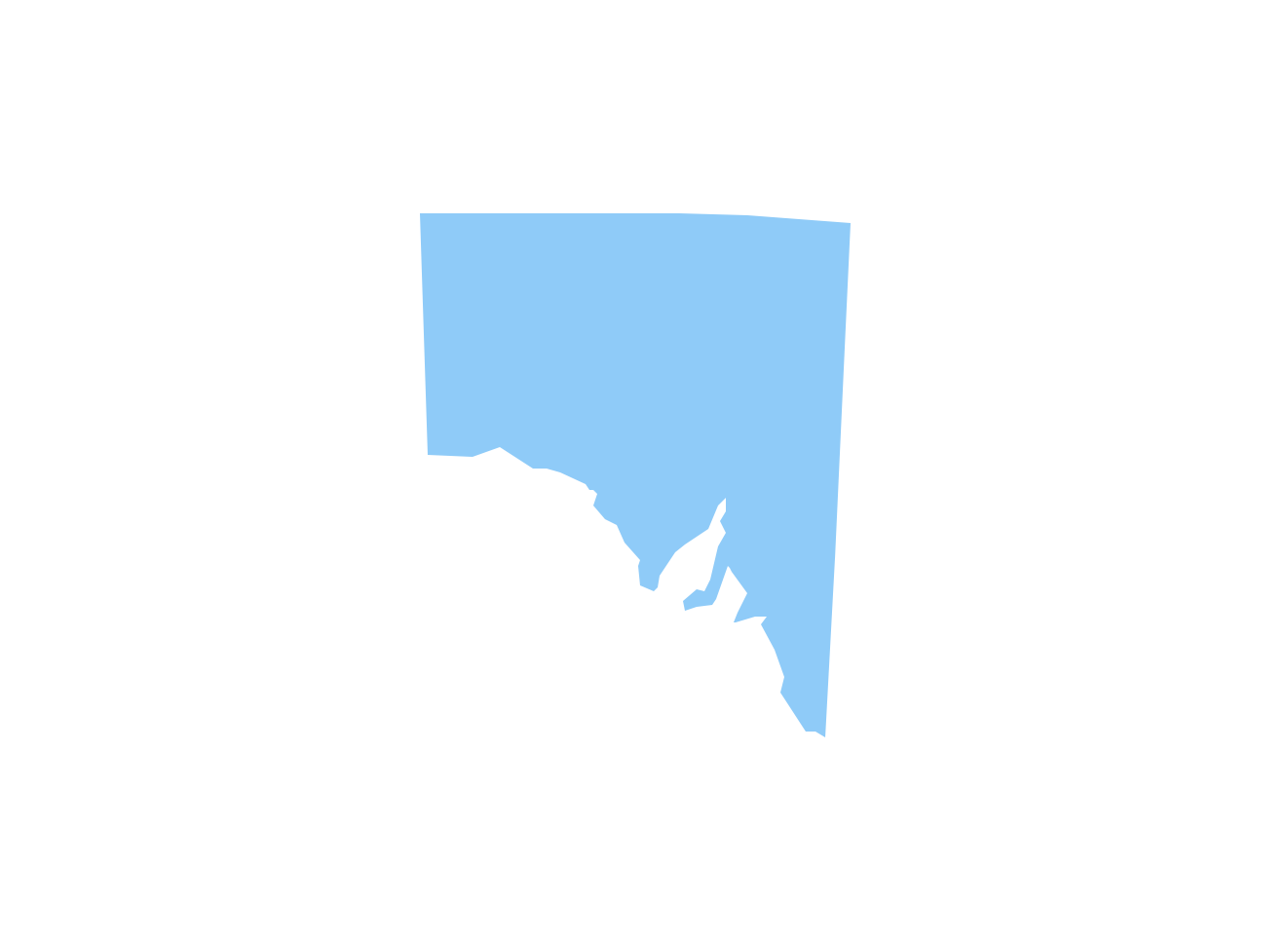
Victoria (abbreviated as Vic.) is a state in the south-east of Australia. Victoria is Australia's most densely populated state and its second-most populous state overall.Geo Map - Australia - South Australia
South Australia (abbreviated as SA) is a state in the southern central part of Australia. It covers some of the most arid parts of the continent.Geo Map - USA - Oklahoma
Oklahom is a state located in the South Central United States.The vector stencils library Oklahoma contains contours for ConceptDraw PRO diagramming and vector drawing software. This library is contained in the Continent Maps solution from Maps area of ConceptDraw Solution Park.
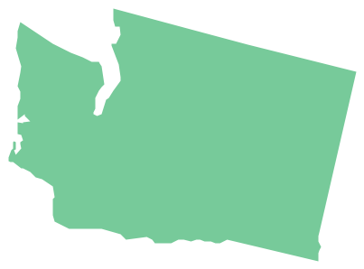
Geo Map - USA - Washington
Washington is a state in the Pacific Northwest region of the United States located north of Oregon, west of Idaho, and south of the Canadian province of British Columbia on the coast of the Pacific Ocean.The vector stencils library Washington contains contours for ConceptDraw PRO diagramming and vector drawing software. This library is contained in the Continent Maps solution from Maps area of ConceptDraw Solution Park.
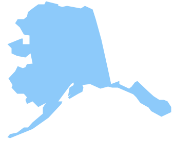
Geo Map - USA - Alaska
Alaska is a U.S. state situated in the northwest extremity of the North American continent.The vector stencils library Alaska contains contours for ConceptDraw PRO diagramming and vector drawing software. This library is contained in the Continent Maps solution from Maps area of ConceptDraw Solution Park.
Geo Map - Asia
ConceptDraw is idea to draw the geological maps of Asia from the pre-designed vector geo map shapes.Use Geo Map Asia to draw thematic maps, geospatial infographics and vector illustrations for your business documents, presentations and websites.
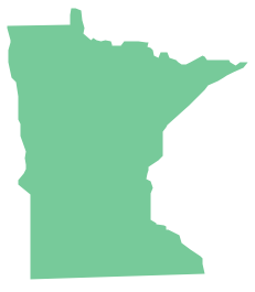
Geo Map - USA - Minnesota
Minnesota is a U.S. state in the Midwestern United States.The vector stencils library Minnesota contains contours for ConceptDraw PRO diagramming and vector drawing software. This library is contained in the Continent Maps solution from Maps area of ConceptDraw Solution Park.
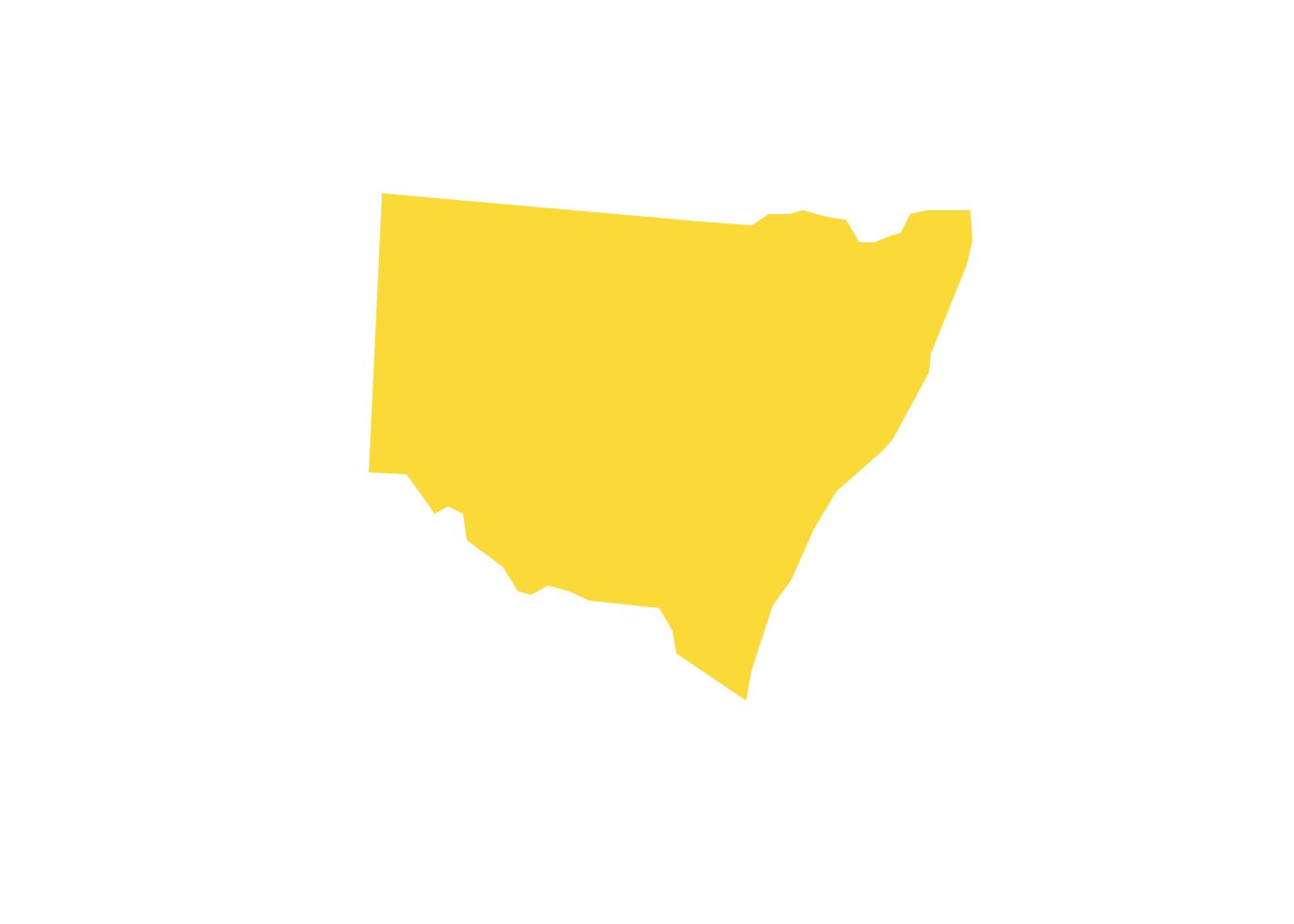
Geo Map - Australia - New South Wales
The vector stencils library Australia contains contours of the Australian states and mainland territories for ConceptDraw PRO diagramming and vector drawing software.HelpDesk
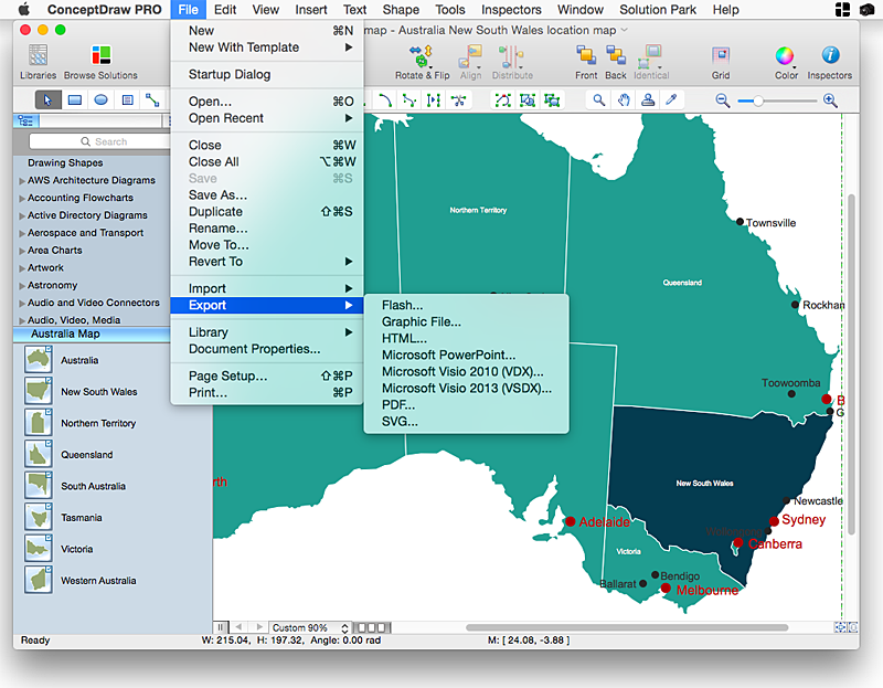
How to Draw Maps of Australia Using ConceptDraw PRO
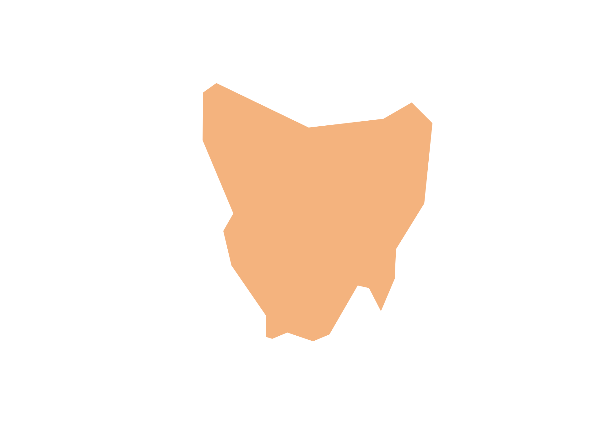
Australia is the sixth largest country in the world. Australia consists from the mainland which is surrounded by many thousands of small fringing islands and numerous larger ones. The vast territories, aligned with interesting historic features across a wide expanse, make the thematic map an ideal way of depicting geographical, geological and political information related to Australia.The Australia Map solution for ConceptDraw PRO will help you to make the steps of the creativeness easy and intuitive. The Australia Map solution provides templates and samples along with vector stencils to get you started. Used together with other ConceptDraw PRO solutions it will allow you to create comprehensive geography-related infographics.Geo Map - Australia - Tasmania
Tasmania (abbreviated as Tas and known colloquially as "Tassie") is an island state, part of the Commonwealth of Australia.- Geo Map - Canada - Northwest Territories | North America - Vector ...
- Geo Map of Americas | Geo Mapping Software Examples - World ...
- Australia And New Zeland Map
- Geo Mapping Software Examples - World Map Outline | Geo Map ...
- Nb Geo Maps On Mac
- Geo Map - Australia
- Geo Map - World | Geo Map Software | Types of Map - Overview ...
- Mapping Australia Clip Art
- Geo Map - Australia - New Zealand
- Australia Map Example
- Geo Map - Asia - Syria
- Map Of Ontario Clipart
- Continent Maps | Geo Map of Americas | Geo Map - United States of ...
- Australia Map Clip Art
- Geo Map - Australia
- Geo Map - Canada - Manitoba
- South America flags - Stencils library | Geo Map - South America ...
- Geo Map - Canada
- Geo Map - Canada - British Columbia
- Subway infographic design elements - software tools | Spatial ...
