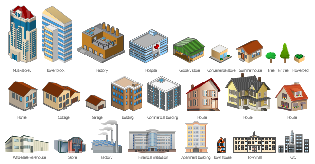
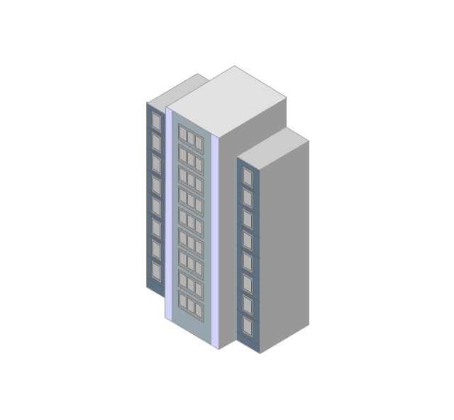
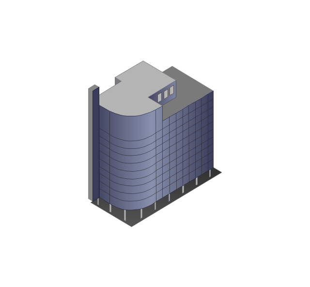
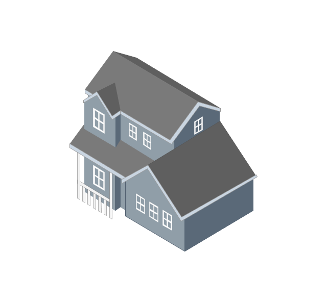
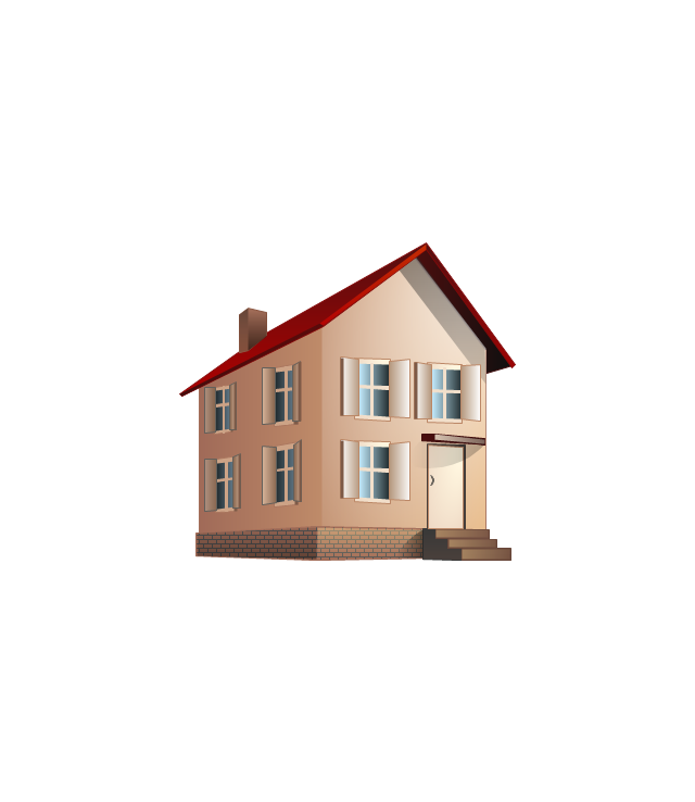
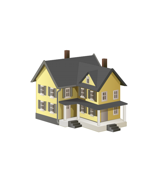
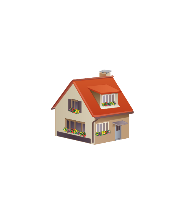
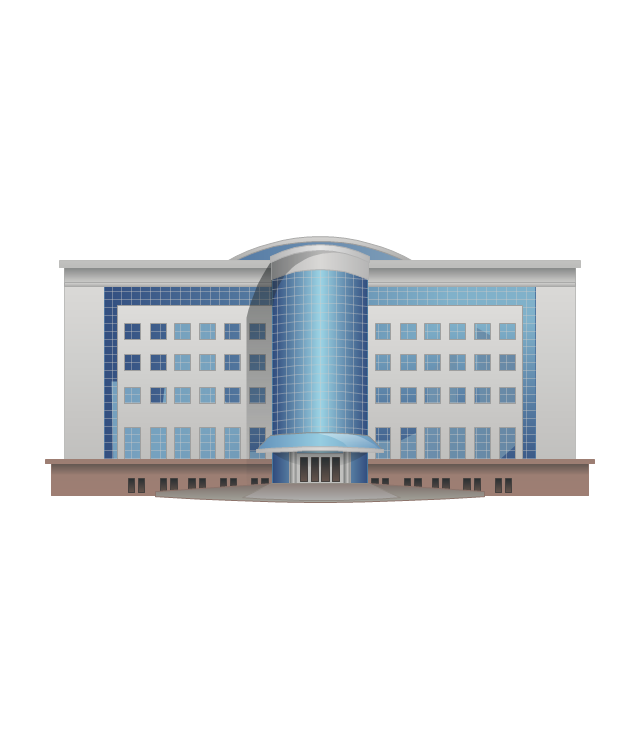
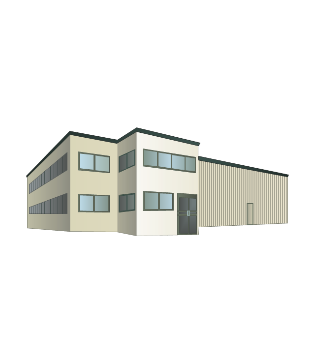
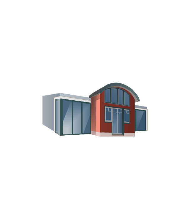
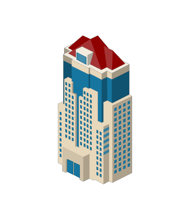
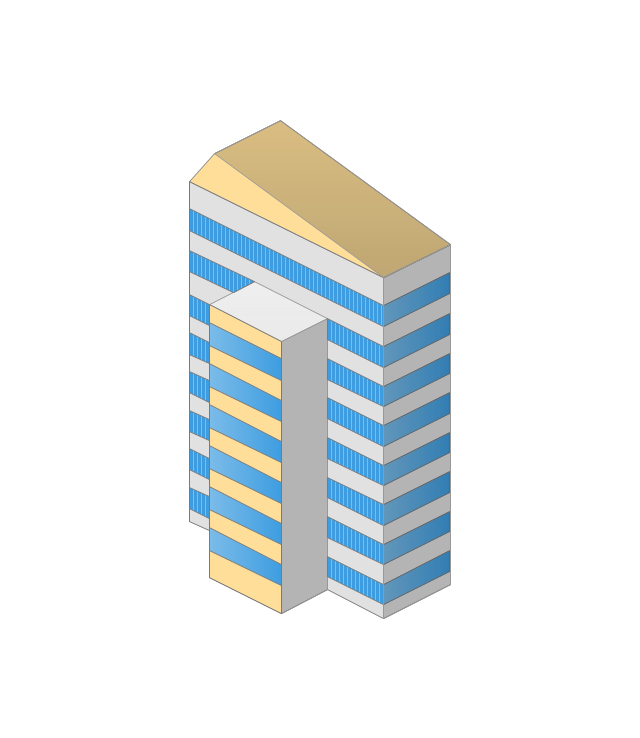
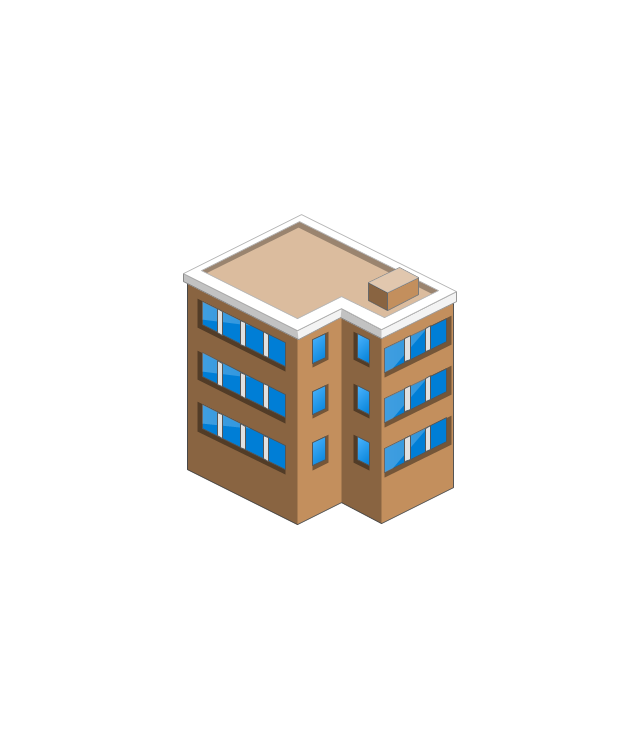
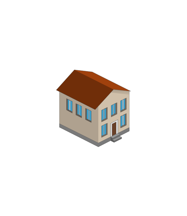
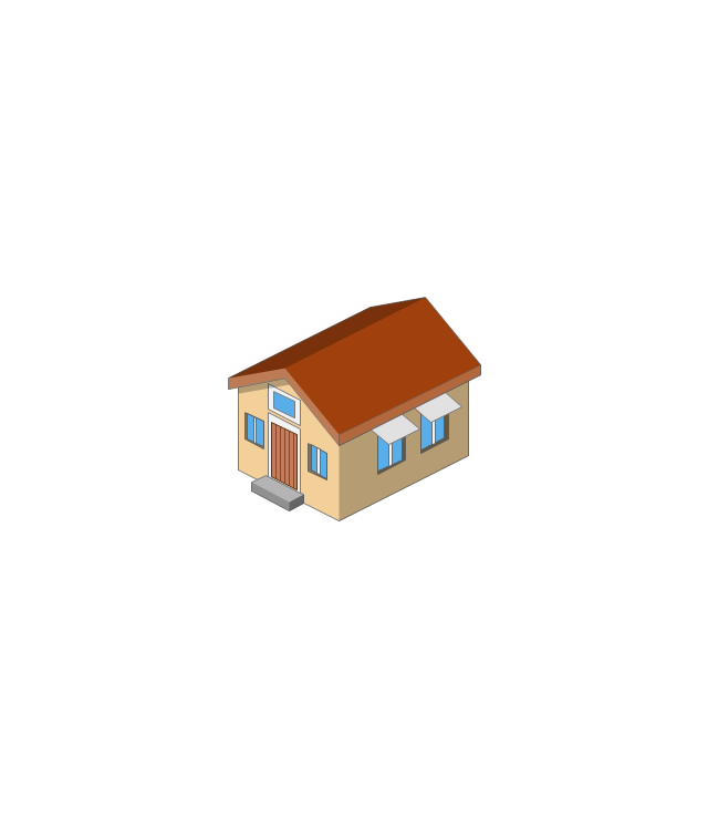
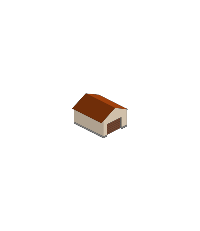
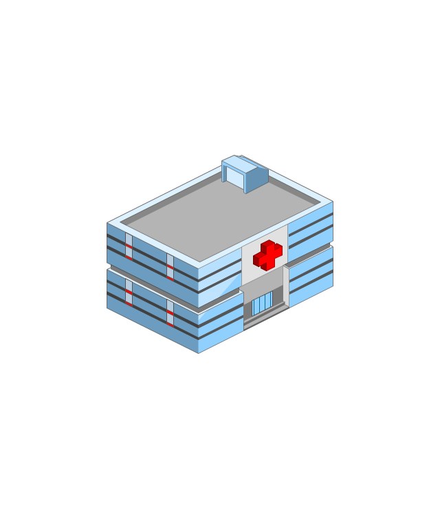
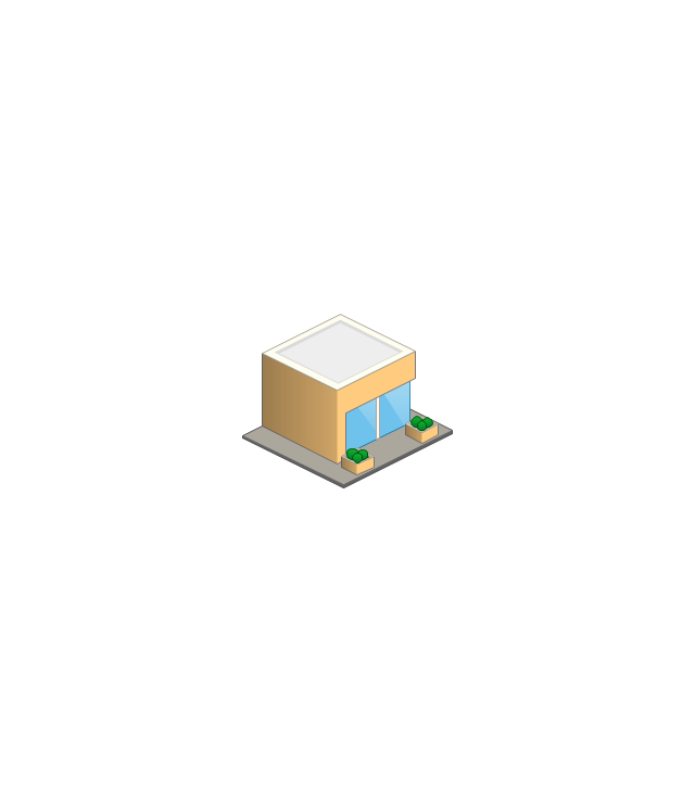
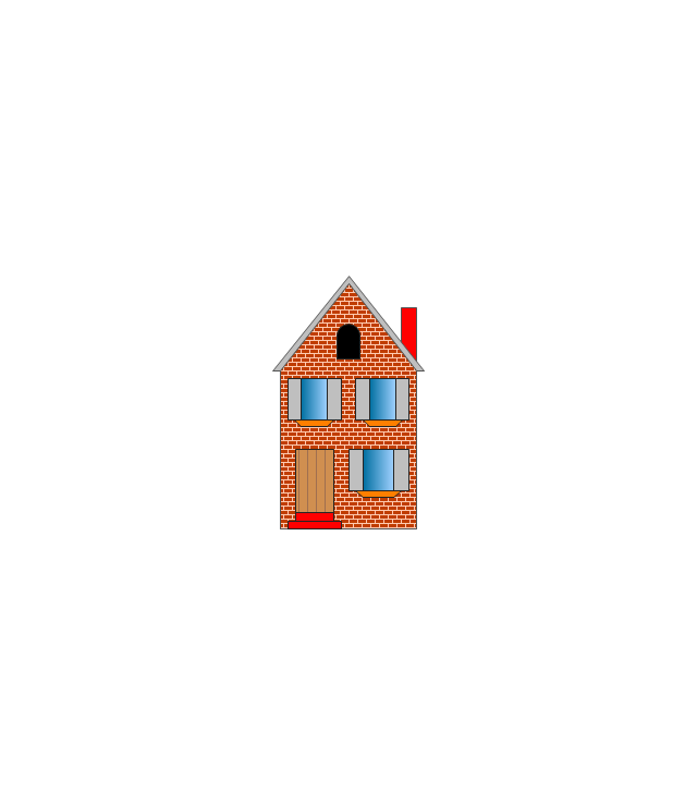
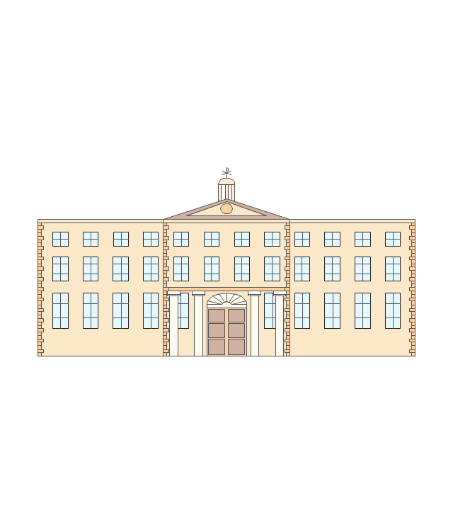
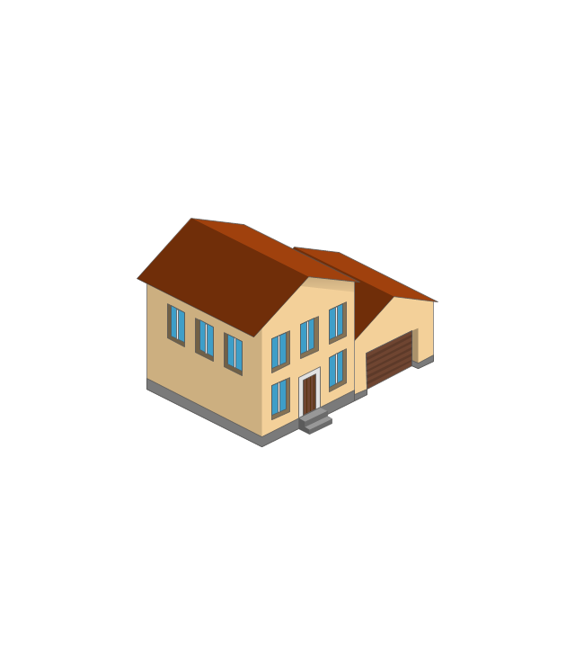
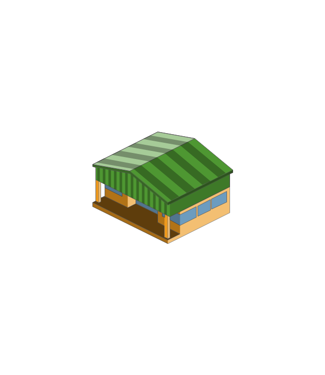
The vector stencils library "Buildings and green spaces" contains 27 clipart images of buildings and green spaces.
"Buildings serve several needs of society – primarily as shelter from weather, security, living space, privacy, to store belongings, and to comfortably live and work." [Building. Wikipedia]
The clip art example "Buildings and green spaces - Vector stencils library" was created using the ConceptDraw PRO diagramming and vector drawing software extended with the Artwork solution from the Illustration area of ConceptDraw Solution Park.
www.conceptdraw.com/ solution-park/ illustrations-artwork
The vector stencils library "Landmarks" contains 69 landmark symbols of buildings, waterways, scale and directional indicators for labeling transportation and directional maps, road and route maps, street and transit maps, locator and tourist maps.
The pictograms example "Landmarks - Vector stencils library" was created using the ConceptDraw PRO diagramming and vector drawing software extended with the Directional Maps solution from the Maps area of ConceptDraw Solution Park.
The pictograms example "Landmarks - Vector stencils library" was created using the ConceptDraw PRO diagramming and vector drawing software extended with the Directional Maps solution from the Maps area of ConceptDraw Solution Park.
The vector stencils library "Buildings and green spaces" contains 27 clipart images of buildings and green spaces.
"Buildings serve several needs of society – primarily as shelter from weather, security, living space, privacy, to store belongings, and to comfortably live and work." [Building. Wikipedia]
The clip art example "Buildings and green spaces - Vector stencils library" was created using the ConceptDraw PRO diagramming and vector drawing software extended with the Artwork solution from the Illustration area of ConceptDraw Solution Park.
www.conceptdraw.com/ solution-park/ illustrations-artwork
"Buildings serve several needs of society – primarily as shelter from weather, security, living space, privacy, to store belongings, and to comfortably live and work." [Building. Wikipedia]
The clip art example "Buildings and green spaces - Vector stencils library" was created using the ConceptDraw PRO diagramming and vector drawing software extended with the Artwork solution from the Illustration area of ConceptDraw Solution Park.
www.conceptdraw.com/ solution-park/ illustrations-artwork
This location map sample was created on the base on the map "Location of the Migration Health Assessment Center (MHAC)" from the website of the U.S. Embassy in Nepal. "Applicants for U.S. immigrant visas and transportation letters are required to have medical examinations performed by IOM (International Organization for Migration) Embassy panel physicians. ... Health assessments for the immigrants to the US are conducted by the International Organization for Migration (IOM) at the Migration Health Assessment Center."
[nepal.usembassy.gov/ visas/ immigrant-visas/ medical-exams.html]
The location map example "Location of the Migration Health Assessment Center (MHAC)" was created using the ConceptDraw PRO diagramming and vector drawing software extended with the Directional Maps solution from the Maps area of ConceptDraw Solution Park.
The vector stencils library "Landmarks" contains 34 landmark symbols.
Use it to mark maps for spatial infographics in the ConceptDraw PRO diagramming and vector drawing software extended with the Spatial Infographics solution from the area "What is Infographics" of ConceptDraw Solution Park.
Use it to mark maps for spatial infographics in the ConceptDraw PRO diagramming and vector drawing software extended with the Spatial Infographics solution from the area "What is Infographics" of ConceptDraw Solution Park.
The vector clipart library Buildings and green spaces contains images of buildings, trees and lawns. Use it to design your own illustrations, diagrams and infographics using the ConceptDraw PRO diagramming and vector drawing software.
"Residential buildings are called houses or homes, though buildings containing large numbers of separate dwelling units are often called apartment buildings or apartment blocks to differentiate them from 'individual' houses. Houses may also be built in pairs (semi-detached), in terraces where all but two of the houses have others either side; apartments may be built round courtyards or as rectangular blocks surrounded by a piece of ground of varying sizes. Houses which were built as a single dwelling may later be divided into apartments or bedsitters; they may also be converted to another use e.g. an office or a shop. Building types may range from one-room wood-framed, masonry, or adobe dwellings to multi-million dollar high-rise buildings able to house thousands of people. A Multi-Storey is a building that has multiple floors above ground in the building." [Building. Wikipedia]
The exampe "Design elements - Buildings and green spaces" is included in the Artwork solution from the Illustration area of ConceptDraw Solution Park.
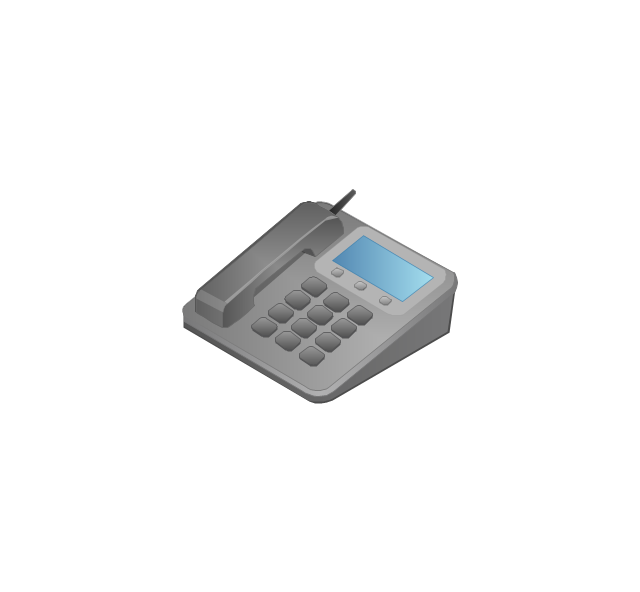
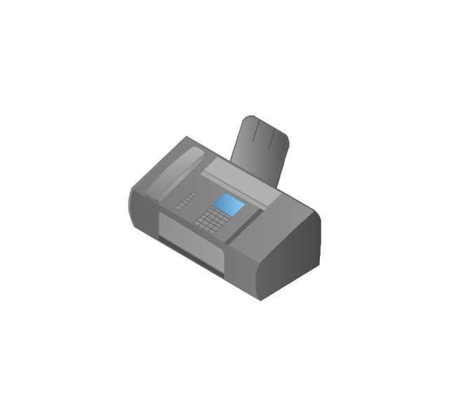
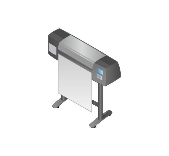
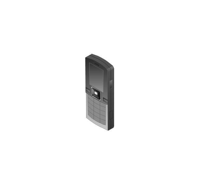
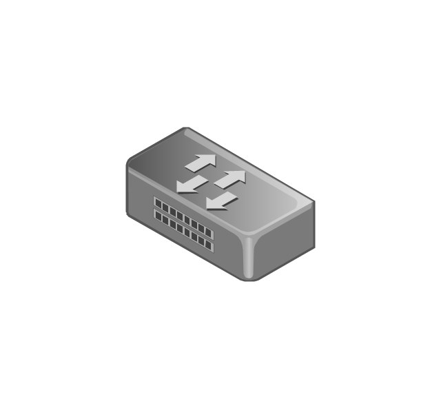
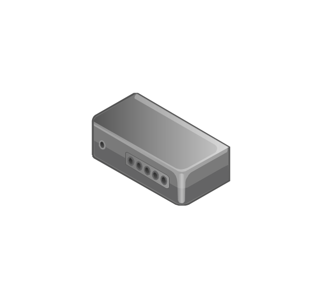
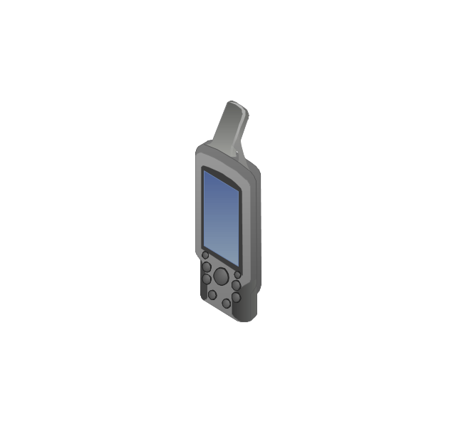
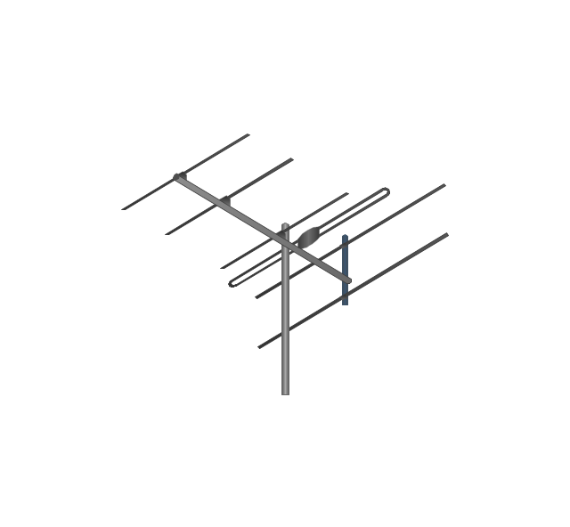
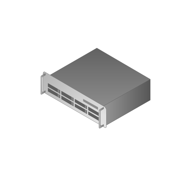
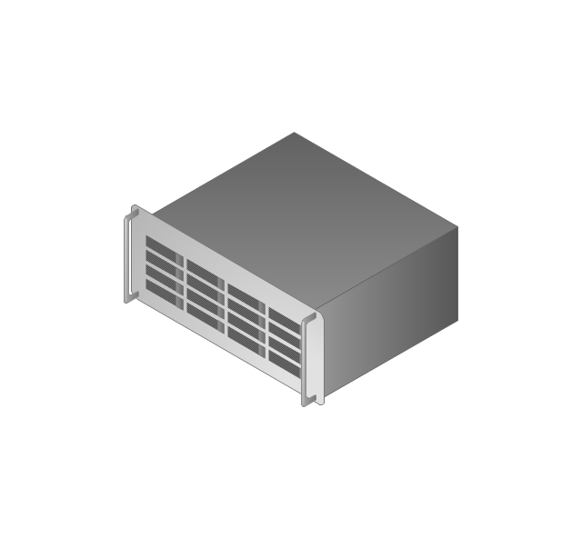
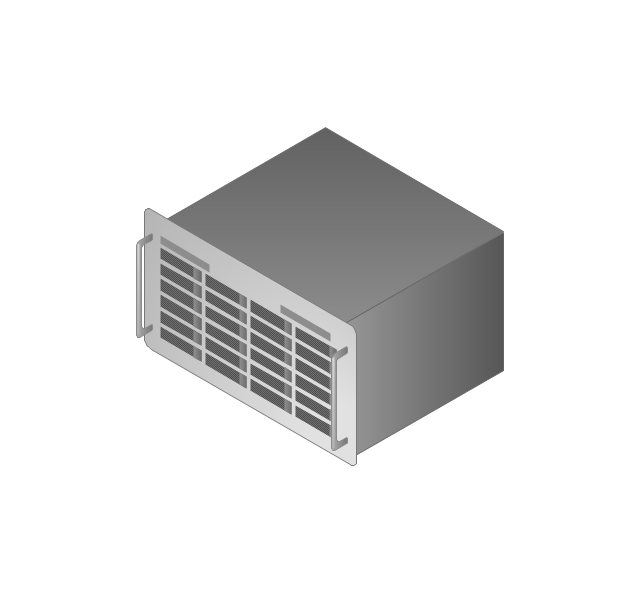
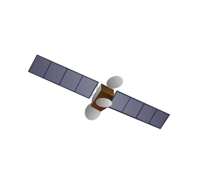
The vector stencils library "Computers and network isometric" contains 56 3D clipart images of computer and network devices and equipment for drawing network diagrams.
The clip art example "Computers and network isometric - Vector stencils library" was created using the ConceptDraw PRO diagramming and vector drawing software extended with the Computer and Networks solution from the Computer and Networks area of ConceptDraw Solution Park.
The clip art example "Computers and network isometric - Vector stencils library" was created using the ConceptDraw PRO diagramming and vector drawing software extended with the Computer and Networks solution from the Computer and Networks area of ConceptDraw Solution Park.
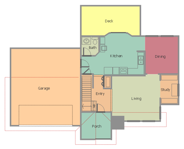
This floor plan sample shows home containing porch, entry, kitchen, bathroom, dining room, living room, study, deck and garage.
"A home is a dwelling used as a permanent or semi-permanent residence for an individual, family, household or several families in a tribe. It is often a house, apartment, or other building, or alternatively a mobile home, houseboat, yurt or any other portable shelter. Larger groups may live in a nursing home, children's home, convent or any similar institution. A homestead also includes agricultural land and facilities for domesticated animals. Where more secure dwellings are not available, people may live in the informal and sometimes illegal shacks found in slums and shanty towns. More generally, "home" may be considered to be a geographic area, such as a town, village, suburb, city, or country." [Home. Wikipedia]
The Home floor plan example was created using the ConceptDraw PRO diagramming and vector drawing software extended with the Floor Plans solution from the Building Plans area of ConceptDraw Solution Park.
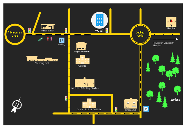
"A locator map, sometimes referred to simply as a locator, is typically a simple map used in cartography to show the location of a particular geographic area within its larger and presumably more familiar context. Depending on the needs of the cartographer, this type of map can be used on its own or as an inset or addition to a larger map. ...
Direct marketing.
The widespread distribution of sophisticated Geographic Information System (GIS) mapping techniques has allowed the development of large-scale customized locator maps that can be tailored to individual consumers in direct marketing campaigns. This sophistication allows a variety of customized locator maps to be produced in a relatively short period of time. Major types of direct marketing locator maps are:
Single Location: A single business location is shown with major street and road connections. While this type of map can be efficiently constructed using GIS with existing street databases and customized map templates, special software is not required because the map does not change for each direct mailing." [Locator map. Wikipedia]
This example was created using the ConceptDraw PRO diagramming and vector drawing software extended with the Directional Maps solution from the Maps area of ConceptDraw Solution Park.
- Town house
- Cottage House Plans
- Town Building Clipart
- 2D Directional map - Template | Landmarks - Vector stencils library ...
- How To use House Electrical Plan Software | Emergency Plan ...
- Town hall
- House On Map Route
- Example Of Vicinity Map Of The House Wityh Landmark
- What Is The Conventional Symbols Of Town
- Buildings and green spaces - Vector stencils library | Design ...
- Buildings and green spaces - Vector stencils library | Landmarks ...
- Store Layout Software | Enterprise Architecture Diagrams | Buildings ...
- Map symbols - Vector stencils library | How To use House Electrical ...
- Landmarks - Vector stencils library | How To use Building Plan ...
- Landmarks - Vector stencils library | Hotel Plan. Hotel Plan ...
- How To use House Electrical Plan Software | House of Quality Matrix ...
- Landscape Plan | HR Management Software | HR Flowchart ...
- Plumbing and Piping Plans | How To use House Electrical Plan ...
- Landmarks - Vector stencils library | Software Diagram Fir School ...











.png--diagram-flowchart-example.png)


