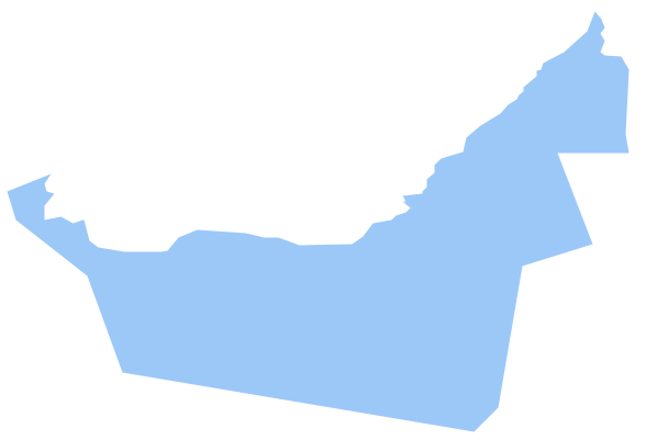
Geo Map - Asia - United Arab Emirates
The United Arab Emirates, sometimes simply called the Emirates or the UAE, is a country located in the southeast end of the Arabian Peninsula on the Persian Gulf, bordering Oman to the east and Saudi Arabia to the south, as well as sharing sea borders with Qatar, Iran and Pakistan.The vector stencils library United Arab Emirates contains contours for ConceptDraw PRO diagramming and vector drawing software. This library is contained in the Continent Maps solution from Maps area of ConceptDraw Solution Park.
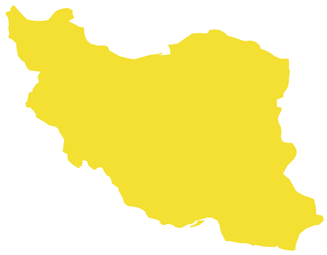
Geo Map - Asia - Iran
Iran, also known as Persia, officially the Islamic Republic of Iran since 1980, is a country in Western Asia.The vector stencils library Iran contains contours for ConceptDraw PRO diagramming and vector drawing software. This library is contained in the Continent Maps solution from Maps area of ConceptDraw Solution Park.
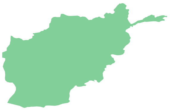
Geo Map - Asia - Afghanistan
Afghanistan, officially the Islamic Republic of Afghanistan, is a landlocked sovereign state forming part of Central Asia, South Asia, and to some extent Western Asia.The vector stencils library Afghanistan contains contours for ConceptDraw PRO diagramming and vector drawing software. This library is contained in the Continent Maps solution from Maps area of ConceptDraw Solution Park.
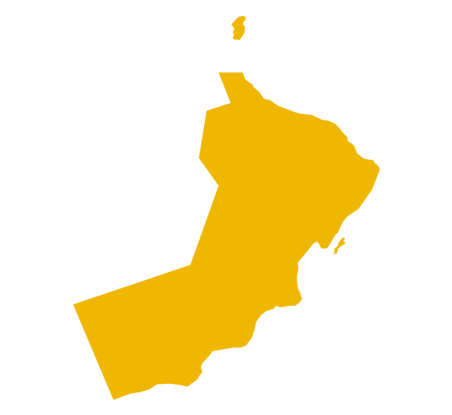
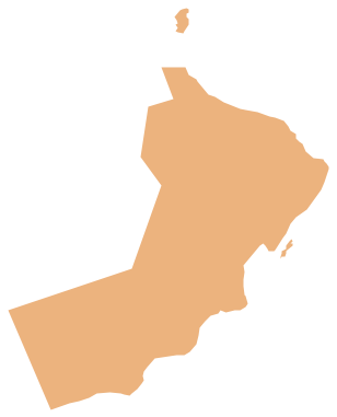
Geo Map - Asia - Oman
Oman, officially called the Sultanate of Oman, is an Arab state in southwest Asia on the southeast coast of the Arabian Peninsula.The vector stencils library Oman contains contours for ConceptDraw PRO diagramming and vector drawing software. This library is contained in the Continent Maps solution from Maps area of ConceptDraw Solution Park.
The vector stencils library "Asia" contains 47 country contours for drawing thematic maps of Asia.
Use it in your spatial infographics for visual representation of geospatial information, statistics and quantitative data in the ConceptDraw PRO diagramming and vector drawing software extended with the Spatial Infographics solution from the area "What is Infographics" of ConceptDraw Solution Park.
Use it in your spatial infographics for visual representation of geospatial information, statistics and quantitative data in the ConceptDraw PRO diagramming and vector drawing software extended with the Spatial Infographics solution from the area "What is Infographics" of ConceptDraw Solution Park.
- Design elements - Asia flags | Asia flags - Stencils library | Geo Map ...
- Geo Map - Asia - United Arab Emirates | Geo Map - United States of ...
- Images Of United States Map
- Geo Map - Asia
- Images Of The Continent Of Europe
- Design elements - Asian country flags | Geo Map - Asia | Design ...
- Geo Map - Asia - Oman | Geo Map - Asia - United Arab Emirates ...
- Geo Map - Asia - United Arab Emirates | Asian country flags - Vector ...
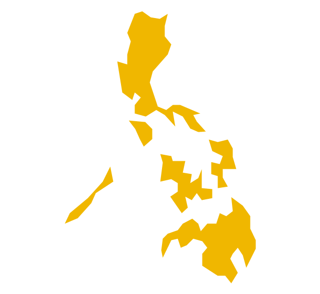
- Geo Map - Asia - Philippines | Image chart - The total financing of the ...
- Geo Map - Asia - United Arab Emirates | Asia - Vector stencils library ...
- India Map Png Image
- Pic Of Map Of United States
- India Map With Clip Art Images
- Pakistqn Map Drawing
- Geo Map - United States of America Map | How to Draw a Map of ...
- Images Of America On A Map
- Design elements - Asian country flags | Geo Map - Asia | Geo Map ...
- America Map And State Images
- Design elements - Asia | Geo Map - Asia | Continent Maps | Asian ...
- United States Of America Map Images


-asia---vector-stencils-library.png--diagram-flowchart-example.png)


