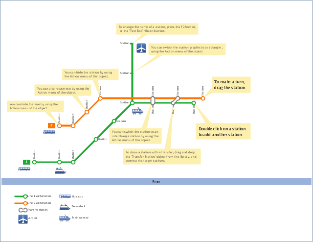
"A transit map is a topological map in the form of a schematic diagram used to
illustrate the routes and stations within a public transport system - whether this be
 Maps Solution. ConceptDraw.com
This solution extends ConceptDraw PRO v9.4 with the specific tools necessary to
help you draw continental, directional, road, or transit maps , to represent
 Metro Map Solution. ConceptDraw.com
This solution extends ConceptDraw PRO v9.5 or later software with the ability to
create metro maps , route maps , bus, transit maps and other transport schemes,
HelpDesk
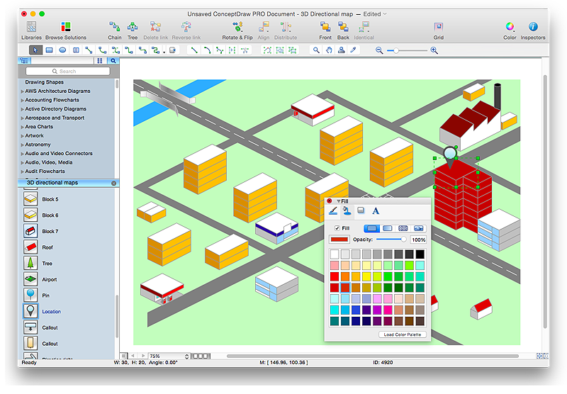
Creating Directional Maps . ConceptDraw HelpDesk
ConceptDraw PRO allows you to create various kinds of directional maps . You can easily visualize city maps or destinations with driving directions and traveler information using Easily draw continental, directional, road, or transit maps .- Transit map template | Metro Map | Maps | Transit Maps
- Transit map template | Design elements - Transport map | How to ...
- Spatial infographics Design Elements: Transport Map | Transit map ...
- Transit map template | Metro Map | Transport map - Template ...
- Transit map template | Transport map - Template | Metro Map ...
- Transit map template
- Transport map - Template | Transit map template | Metro Maps ...
- Transport map - Template | Spatial infographics Design Elements ...
- Map Directions | How to Create a Directional Map Using ...
- Transport map template | Maps | Rail transport - Vector stencils ...

