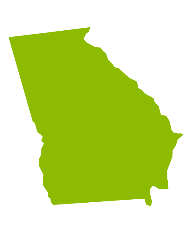
Geo Map - USA - Oregon
Oregon is a state in the Pacific Northwest of the United States.The vector stencils library Oregon contains contours for ConceptDraw PRO diagramming and vector drawing software. This library is contained in the Continent Maps solution from Maps area of ConceptDraw Solution Park.
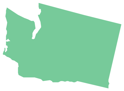
Geo Map - USA - Washington
Washington is a state in the Pacific Northwest region of the United States located north of Oregon, west of Idaho, and south of the Canadian province of British Columbia on the coast of the Pacific Ocean.The vector stencils library Washington contains contours for ConceptDraw PRO diagramming and vector drawing software. This library is contained in the Continent Maps solution from Maps area of ConceptDraw Solution Park.
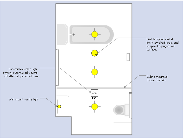
This RCP sample was drawn on the base of the prototype bathroom plan from the website of the Oregon Department of Human Services (DHS), USA.
[oregon.gov/ dhs/ spd/ pages/ provtools/ dd/ safety_ design/ bath.aspx]
"A bathroom is a room for personal hygiene, generally containing a bathtub or a shower, and possibly also a bidet. In North America and some other regions, it characteristically contains a toilet and a sink; hence in North American English the word "bathroom" is commonly used to mean any room containing a toilet, even a public toilet (although in the United States this is more commonly called a restroom). In other countries, including the UK, Australia, France and Japan, homes may have a separate toilet. In Iran almost all homes have two distinct rooms for bathroom and toilet room." [Bathroom. Wikipedia]
The reflected ceiling plan example "The prototype bathroom design" was created using the ConceptDraw PRO diagramming and vector drawing software extended with the Reflected Ceiling Plans solution from the Building Plans area of ConceptDraw Solution Park.
Geo Map - USA - Wyoming
Wyoming is a state in the mountain region of the Western United States.The vector stencils library Wyoming contains contours for ConceptDraw PRO diagramming and vector drawing software. This library is contained in the Continent Maps solution from Maps area of ConceptDraw Solution Park.
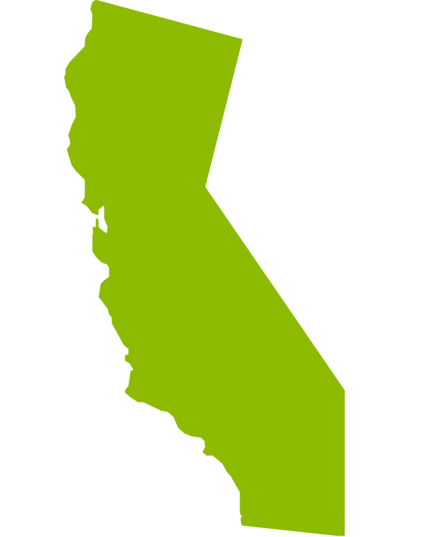
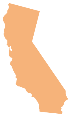
Geo Map - USA - California
California is a state located on the West Coast of the United States.The vector stencils library California contains contours for ConceptDraw PRO diagramming and vector drawing software. This library is contained in the Continent Maps solution from Maps area of ConceptDraw Solution Park.
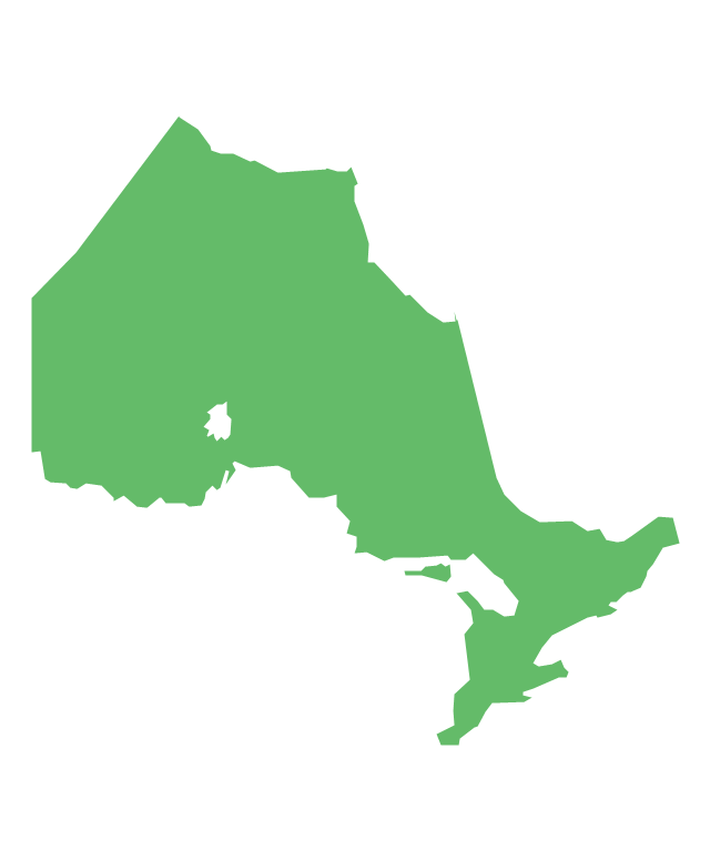
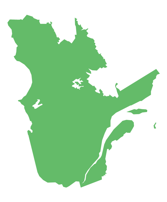
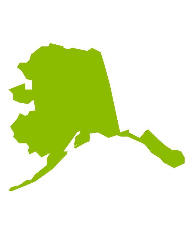
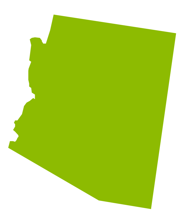
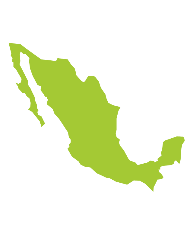
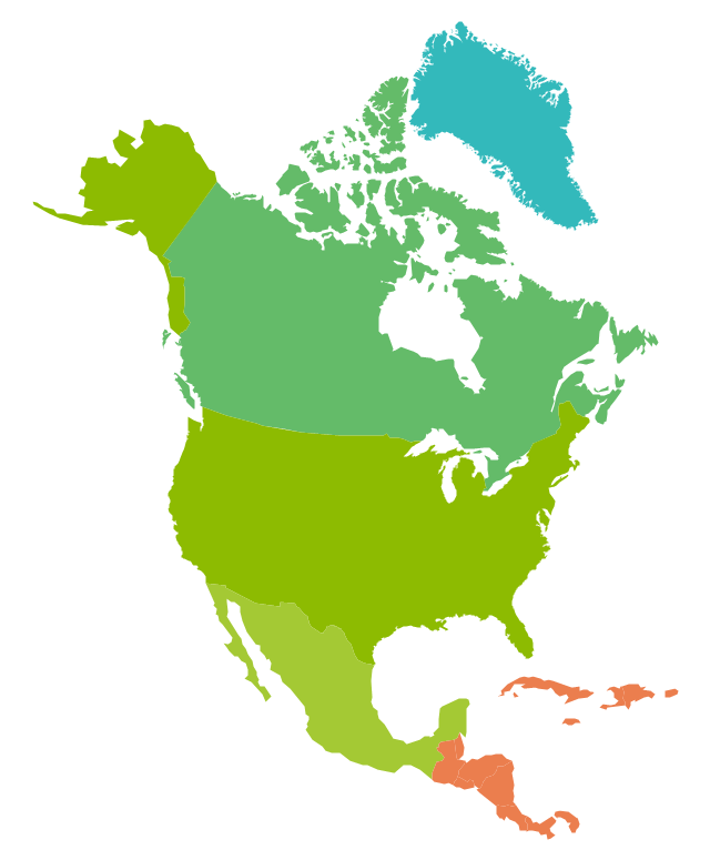
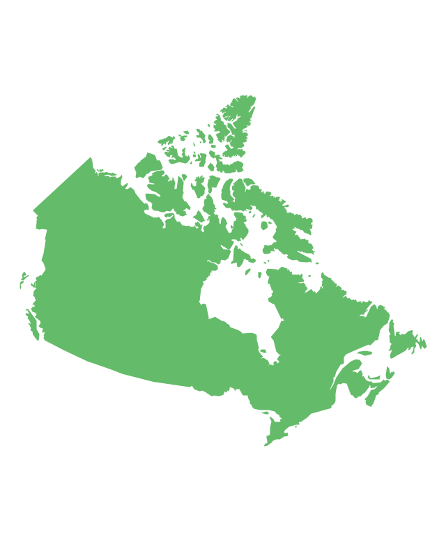
The vector stencils library "North America" contains 70 contours for drawing thematic maps of North America in spatial infographics.
Use it for visual representation of geospatial information, statistics and quantitative data in the ConceptDraw PRO diagramming and vector drawing software extended with the Spatial Infographics solution from the area "What is Infographics" of ConceptDraw Solution Park.
Use it for visual representation of geospatial information, statistics and quantitative data in the ConceptDraw PRO diagramming and vector drawing software extended with the Spatial Infographics solution from the area "What is Infographics" of ConceptDraw Solution Park.
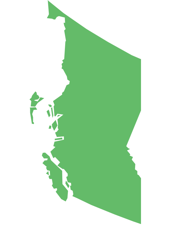
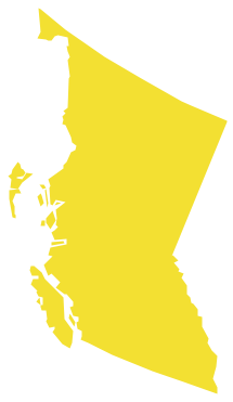
Geo Map - Canada - British Columbia
British Columbia, also commonly referred to by its initials BC or B.C.The vector stencils library British Columbia contains contours for ConceptDraw PRO diagramming and vector drawing software. This library is contained in the Continent Maps solution from Maps area of ConceptDraw Solution Park.
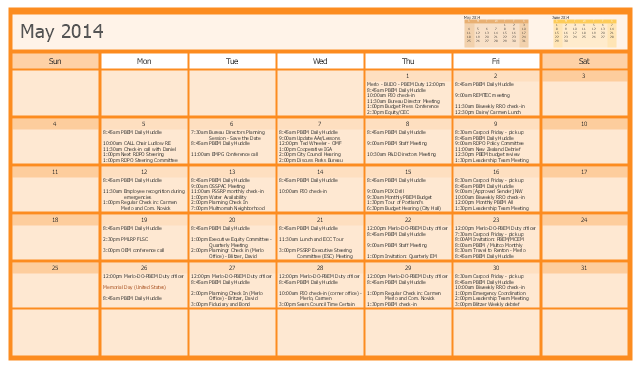
This calendar sample was drawn on the base of figure illustrating the webpage of the Portland Bureau of Emergency Management from the Portland, Oregon website. [portlandoregon.gov/ pbem/ article/ 489554]
"Portland Bureau of Emergency Management.
PBEM utilizes planning, training and exercises to continually develop and sustain the city’s mitigation, preparedness, response and recovery capabilities. These capabilities minimize the loss of life and property and protect the environment from emergencies and significant disruptions.
The bureau's work in 2014-2016 is aligned around five strategic goals:
(1) Expand and maintain a complete suite of mitigation, response, and recovery plans that meet objective standards of high professional achievement in the field of emergency management.
(2) Advance Emergency Coordination Center (ECC) readiness.
(3) Inspire a culture of preparedness.
(4) Integrate emergency management into broader community-oriented goals and investment strategies.
(5) Adopt equity and diversity goals as part of a whole community approach to emergency preparedness." [portlandoregon.gov/ pbem/ 53892]
The calendar example "Public calendar for PBEM Director Carmen Merlo" was created using the ConceptDraw PRO diagramming and vector drawing software extended with the Calendars solution from the Management area of ConceptDraw Solution Park.
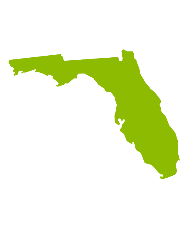
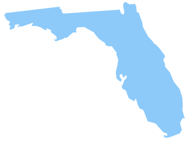
Geo Map - USA - Florida
Florida is a state in the southeastern region of the United States, bordered to the west by the Gulf of Mexico, to the north by Alabama and Georgia, to the east by the Atlantic Ocean, and to the south by the Straits of Florida.The vector stencils library Florida contains contours for ConceptDraw PRO diagramming and vector drawing software. This library is contained in the Continent Maps solution from Maps area of ConceptDraw Solution Park.
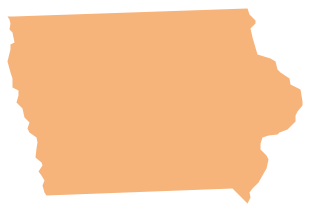
Geo Map - USA - Iowa
Iowa is a U.S. state in the Midwestern United States, a region sometimes called the "American Heartland".The vector stencils library Iowa contains contours for ConceptDraw PRO diagramming and vector drawing software. This library is contained in the Continent Maps solution from Maps area of ConceptDraw Solution Park.
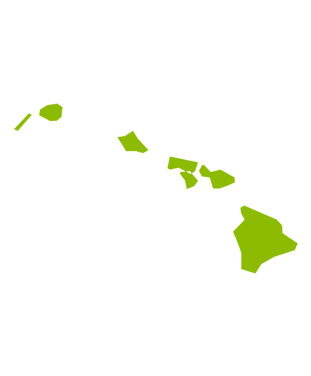
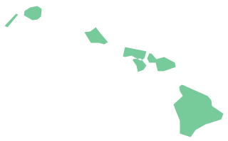
Geo Map - USA - Hawaii
Hawaii is the most recent of the 50 U.S. states (joined the Union on August 21, 1959), and is the only U.S. state made up entirely of islands.The vector stencils library Hawaii contains contours for ConceptDraw PRO diagramming and vector drawing software. This library is contained in the Continent Maps solution from Maps area of ConceptDraw Solution Park.
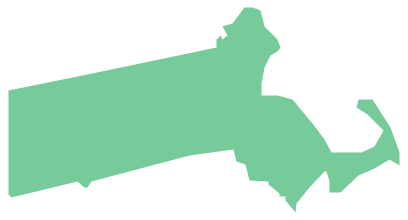
Geo Map - USA - Massachusetts
Massachusetts, officially the Commonwealth of Massachusetts, is a state in the New England region of the northeastern United States.The vector stencils library Massachusetts contains contours for ConceptDraw PRO diagramming and vector drawing software. This library is contained in the Continent Maps solution from Maps area of ConceptDraw Solution Park.
Geo Map - USA - Montana
Montana is a state in the Western United States.The vector stencils library Montana contains contours for ConceptDraw PRO diagramming and vector drawing software. This library is contained in the Continent Maps solution from Maps area of ConceptDraw Solution Park.
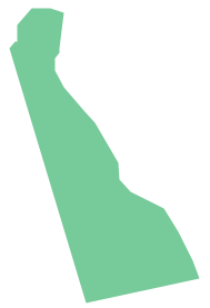
Geo Map - USA - Delaware
Delaware is a U.S. state located on the Atlantic Coast in the Northeastern and Mid-Atlantic regions of the United States.The vector stencils library Delaware contains contours for ConceptDraw PRO diagramming and vector drawing software. This library is contained in the Continent Maps solution from Maps area of ConceptDraw Solution Park.
Geo Map - USA - Tennesse
Tennessee is a U.S. state located in the Southeastern United States.The vector stencils library Tennesse contains contours for ConceptDraw PRO diagramming and vector drawing software. This library is contained in the Continent Maps solution from Maps area of ConceptDraw Solution Park.
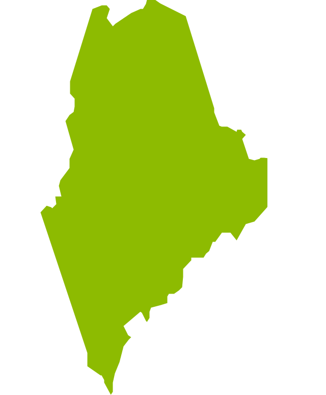
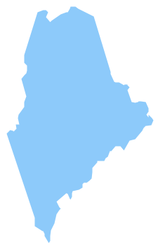
Geo Map - USA - Maine
Maine is a state in the New England region of the northeastern United States, bordered by the Atlantic Ocean to the east and south; New Hampshire to the west; the Canadian provinces of Quebec to the northwest; and New Brunswick to the northeast.The vector stencils library Maine contains contours for ConceptDraw PRO diagramming and vector drawing software. This library is contained in the Continent Maps solution from Maps area of ConceptDraw Solution Park.
Geo Map - USA - Utah
Utah is a state in the United States.The vector stencils library Utah contains contours for ConceptDraw PRO diagramming and vector drawing software. This library is contained in the Continent Maps solution from Maps area of ConceptDraw Solution Park.
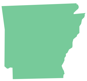
Geo Map - USA - Arkansas
Arkansas is a state located in the Southern region of the United States.The vector stencils library Arkansas contains contours for ConceptDraw PRO diagramming and vector drawing software. This library is contained in the Continent Maps solution from Maps area of ConceptDraw Solution Park.
Geo Map - USA - Nevada
Nevada is a state in the western, mountain west, and southwestern regions of the United States.The vector stencils library Nevada contains contours for ConceptDraw PRO diagramming and vector drawing software. This library is contained in the Continent Maps solution from Maps area of ConceptDraw Solution Park.
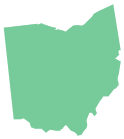
Geo Map - USA - Ohio
Ohio is a state in the Midwestern United States.The vector stencils library Ohio contains contours for ConceptDraw PRO diagramming and vector drawing software. This library is contained in the Continent Maps solution from Maps area of ConceptDraw Solution Park.
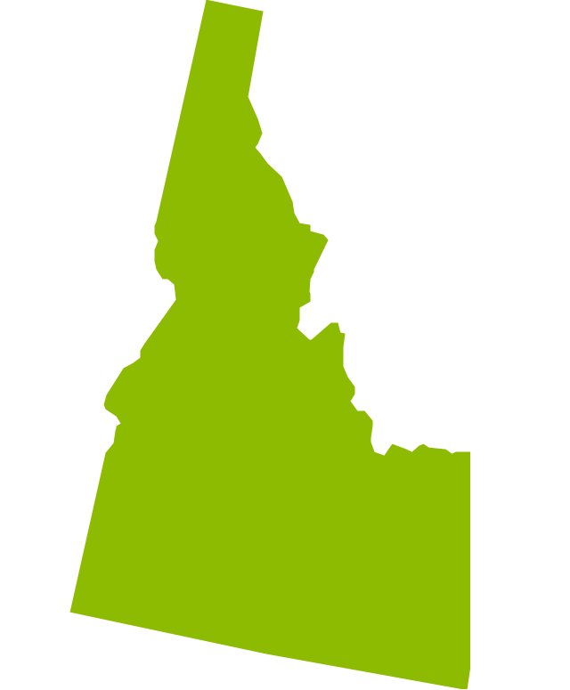
- Geo Map - USA - Idaho - Conceptdraw.com
- Geo Map - USA - California - Conceptdraw.com
- Geo Map - USA - Nevada - Conceptdraw.com
- Geo Map - USA - Washington | Geo Map - America - United States ...
- Geo Map - USA - Maine - Conceptdraw.com
- Design elements - Bathroom | Reflected ceiling plan - The prototype ...
- Reflected ceiling plan - The prototype bathroom design | Prototype ...
- Room planning with ConceptDraw PRO | Room Planning Software ...
- Reflected ceiling plan
- Design elements - Furniture | Reflected ceiling plan - The prototype ...
- Flat design floor plan | Reflected ceiling plan - The prototype ...
- Reflected ceiling plan - The prototype bathroom design | Wireless ...
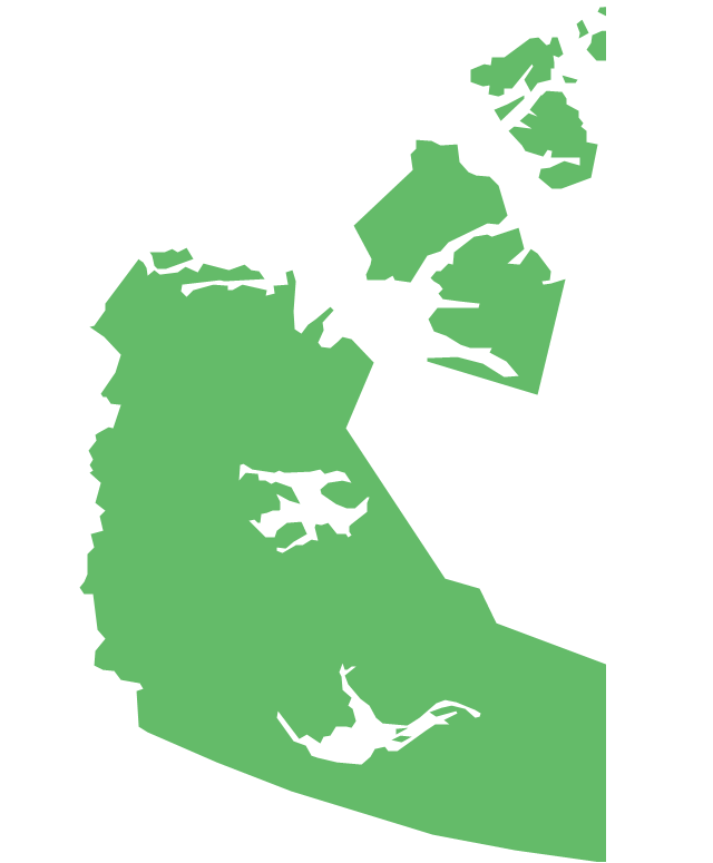
- Geo Map - Canada - Northwest Territories - Conceptdraw.com
- Reflected ceiling plan - The prototype bathroom design | Design ...
- Geo Map - USA - Nebraska
- Geo Map - USA - Hawaii | Geo Map - America - United States | Geo ...
- Geo Map - USA - Oklahoma
- Geo Map - USA - Florida
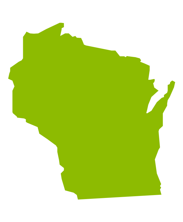
- Geo Map - USA - Wisconsin
- Geo Map - USA - North Dakota


-north-america---vector-stencils-library.png--diagram-flowchart-example.png)
-north-america---vector-stencils-library.png--diagram-flowchart-example.png)
