In marketing perceptual or positioning maps are used for developing the market positioning strategy for product or service.
"Perceptual mapping is a diagrammatic technique used by asset marketers that attempts to visually display the perceptions of customers or potential customers. Typically the position of a product, product line, brand, or company is displayed relative to their competition." [Perceptual mapping. Wikipedia]
This positioning map diagram example was created using the ConceptDraw PRO diagramming and vector drawing software extended with the Matrices solution from the Marketing area of ConceptDraw Solution Park.
 Marketing
This solution extends ConceptDraw PRO v9 and ConceptDraw MINDMAP v7 with Marketing Diagrams and Mind Maps (brainstorming, preparing and holding meetings and presentations, sales calls).
HelpDesk
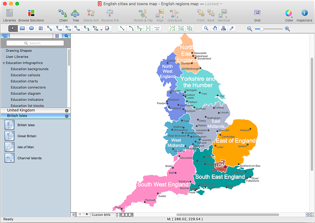
How to Create a Map Depicting the United Kingdom Counties and Regions
The UK Map Solution for ConceptDraw PRO includes all of the UK counties with county outlined borders, from the largest, North Yorkshire, to the smallest Rutlandshire. Geographical thematic maps are used to visualize information on a number of subjects related with certain geographical location . It is a common way of representing any form of spatial data in relation to a specific geographical area. The UK Map Solution for ConceptDraw PRO includes all of the United Kingdom counties with county outlined borders and major cities. You can quickly create geographic maps, cartograms, and thematic maps for geographical visualization information for business and travels.HelpDesk
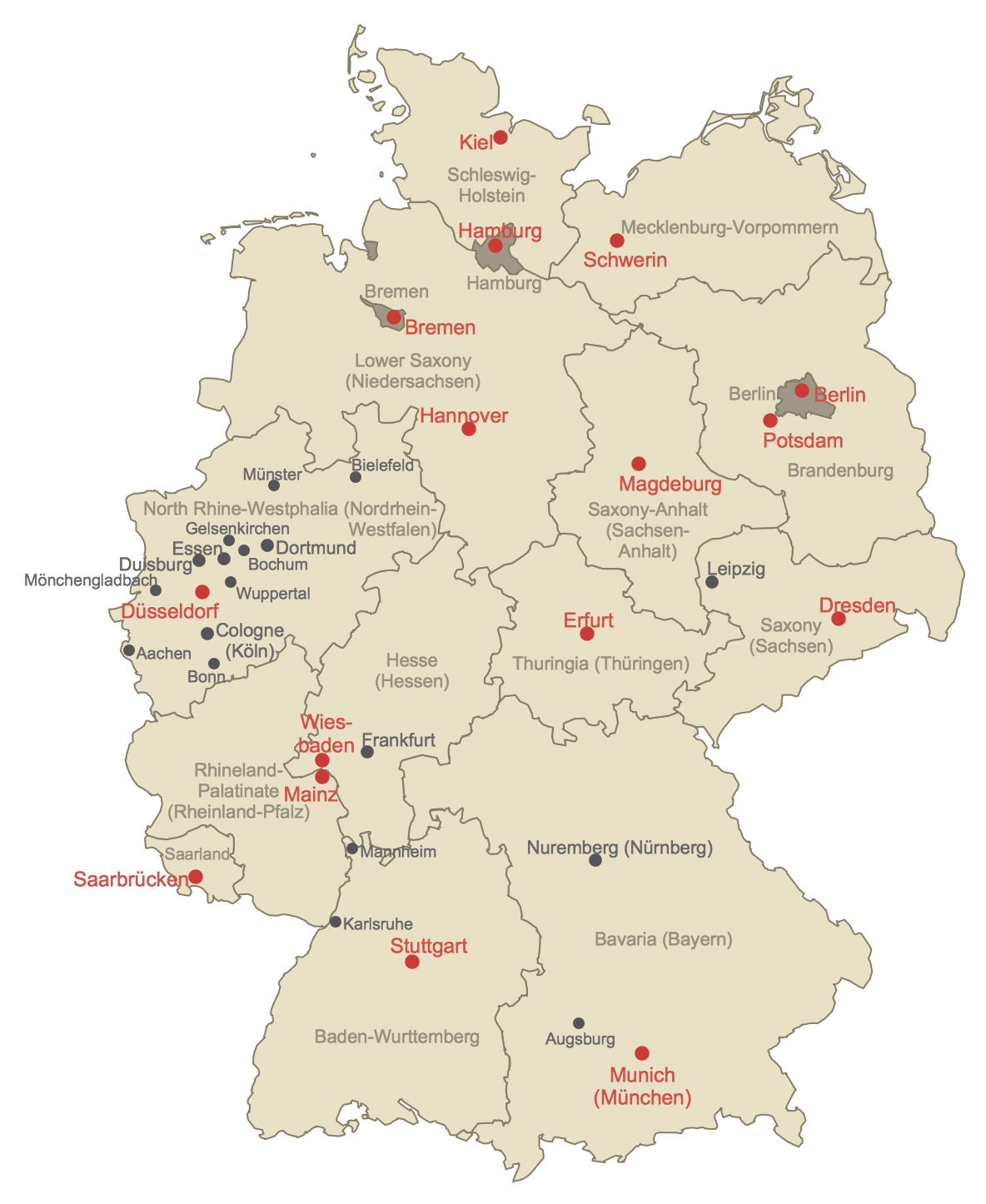
How to Create a Map of Germany Using ConceptDraw PRO
Geographical thematic maps are used to display information on a variety of subjects. It is a common way of representing any form of spatial data in relation to a specific geographical area. The Germany Map Solution for ConceptDraw PRO includes all of the German federal states with county outlined borders and major cities. You can quickly create geographic maps, cartograms, and thematic maps for geographical visualization information for business and travels.
 Football
The Football Solution extends ConceptDraw PRO v9.5 (or later) software with samples, templates, and libraries of vector objects for drawing football (American) diagrams, plays schemas, and illustrations. It can be used to make professional looking documen
- Marketing | Internet marketing - Concept map | Positioning Map ...
- Positioning map
- Positioning Map | Positioning map | SWOT analysis positioning ...
- Positioning Map | Positioning map | How to Make SWOT Analysis in ...
- Positioning map | Positioning Map | Business Tools Perceptual ...
- Positioning map | Competitor Analysis | Pyramid Chart Examples ...
- SWOT analysis matrix diagram templates | Positioning map | Ansoff's ...
- Marketing | Positioning map | SWOT analysis matrix diagram ...
- Positioning Map | Positioning map | SWOT analysis positioning ...
- Positioning map | Business Tools Perceptual Mapping | SWOT ...
- Positioning Map | Swot Analysis Examples for Mac OSX | What is ...
- Position Map Business
- Positioning map | Business Tools Perceptual Mapping | Competitor ...
- Marketing | Business Productivity - Marketing | SWOT analysis matrix ...
- Ansoff Matrix | Matrices | Business Productivity - Marketing | Market ...
- Positioning map | SWOT analysis matrix diagram templates ...
- Business Tools Perceptual Mapping | Marketing | Competitor ...
- Positioning map | Business Tools Perceptual Mapping | Risk ...
- Positioning Map | Positioning Map | How to Connect Social Media ...


