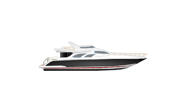
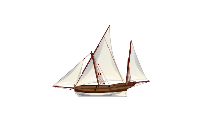
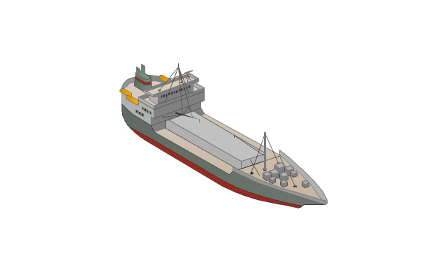
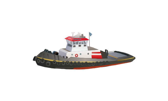
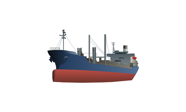
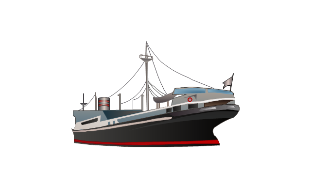
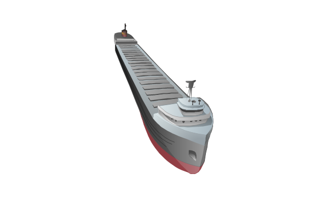
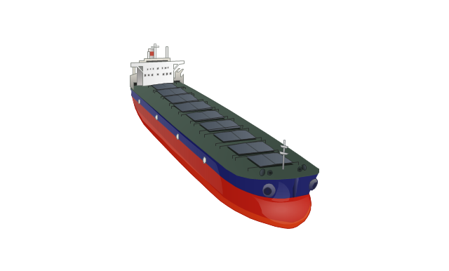
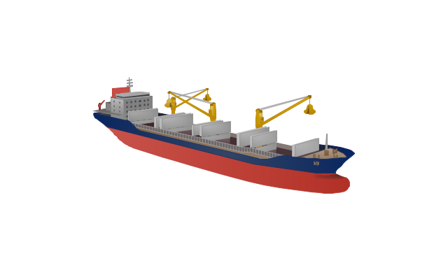
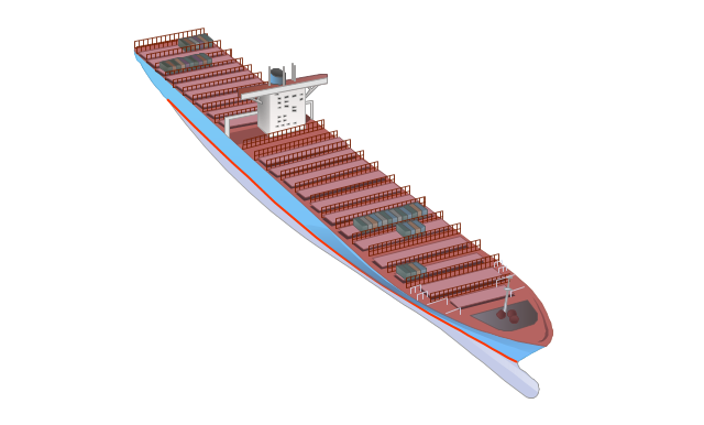
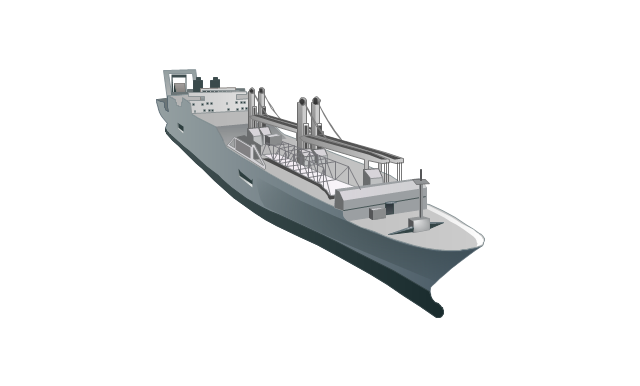
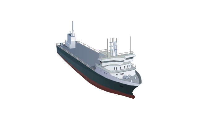
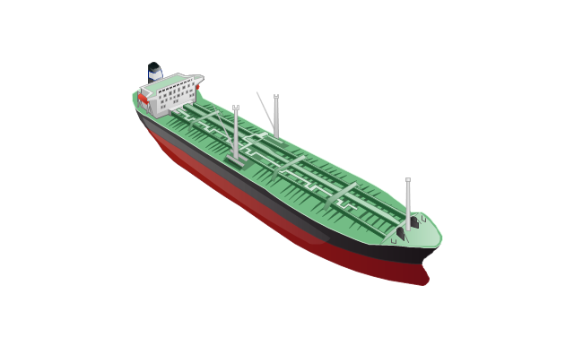
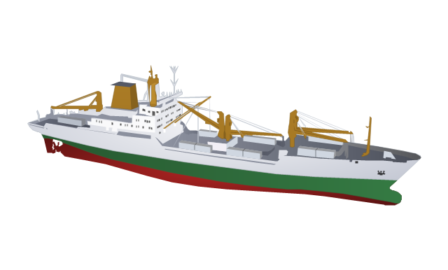
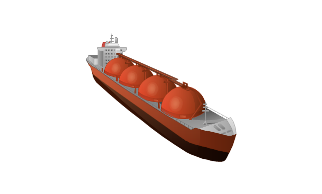
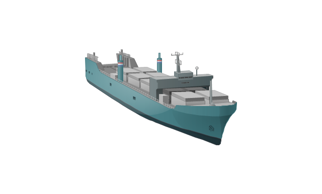
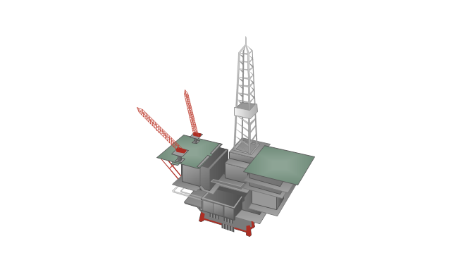
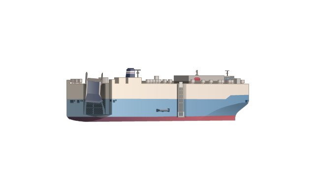
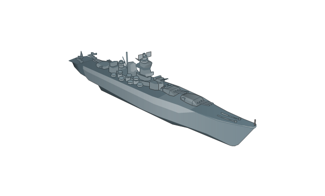
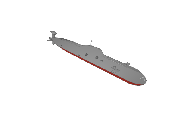
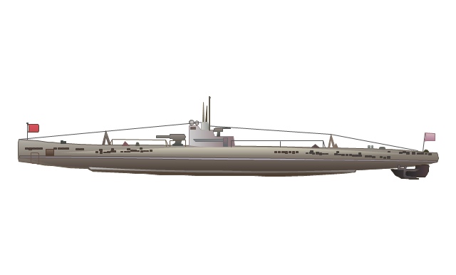
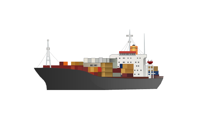
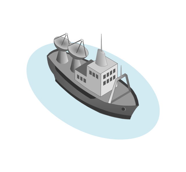
The vector stencils library "Watercraft" contains 28 clip art images for creating ship transport illustrations, presentation slides, infographics and webpages using the ConceptDraw PRO diagramming and vector drawing software.
"The term watercraft covers a range of different vehicles including ships, boats, hovercraft and submarines, and differs from a simple device that merely floats, such as a log raft. ...
Usually the purposes behind watercraft designs and skills are for seafaring education or leisure activities, fishing and resource extraction, transportation of cargo or passengers, and for conducting combat or salvage operations. In general, the purpose of a water vehicle identifies its utility with a maritime industry sub-sector." [Watercraft. Wikipedia]
The vector stencils library "Watercraft" is included in the Aerospace and Transport solution from the Illustrations area of ConceptDraw Solution Park.
www.conceptdraw.com/ solution-park/ illustrations-aerospace-transport
Boat
Motorboat
Yacht
Sailing yacht
Motor yacht
Passenger vessel

Sailing ship
Passenger ship
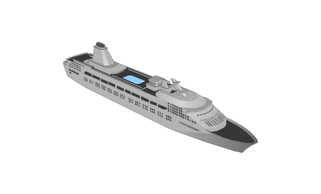
Regular ship
Tugboat
Oil ship
Dry cargo ship
Dry cargo vessel
Capesize bulk-carrier
Handysize bulk-carrier
Container ship
Multipurpose ship
Reefer
Oil tanker
Reefer vessel
Gas ship
Lighter aboard ship
Offshore oil platform
Car carrier
Battleship
Submarine
Submarine
Container ship
The vector stencils library "Watercraft" contains 28 clip art images for creating ship transport illustrations, presentation slides, infographics and webpages using the ConceptDraw PRO diagramming and vector drawing software.
"The term watercraft covers a range of different vehicles including ships, boats, hovercraft and submarines, and differs from a simple device that merely floats, such as a log raft. ...
Usually the purposes behind watercraft designs and skills are for seafaring education or leisure activities, fishing and resource extraction, transportation of cargo or passengers, and for conducting combat or salvage operations. In general, the purpose of a water vehicle identifies its utility with a maritime industry sub-sector." [Watercraft. Wikipedia]
The vector stencils library "Watercraft" is included in the Aerospace and Transport solution from the Illustrations area of ConceptDraw Solution Park.
www.conceptdraw.com/ solution-park/ illustrations-aerospace-transport
"The term watercraft covers a range of different vehicles including ships, boats, hovercraft and submarines, and differs from a simple device that merely floats, such as a log raft. ...
Usually the purposes behind watercraft designs and skills are for seafaring education or leisure activities, fishing and resource extraction, transportation of cargo or passengers, and for conducting combat or salvage operations. In general, the purpose of a water vehicle identifies its utility with a maritime industry sub-sector." [Watercraft. Wikipedia]
The vector stencils library "Watercraft" is included in the Aerospace and Transport solution from the Illustrations area of ConceptDraw Solution Park.
www.conceptdraw.com/ solution-park/ illustrations-aerospace-transport
Boat
Motorboat
Yacht
Sailing yacht
Motor yacht
Passenger vessel
Sailing ship
Passenger ship
Regular ship
Tugboat
Oil ship
Dry cargo ship
Dry cargo vessel
Capesize bulk-carrier
Handysize bulk-carrier
Container ship
Multipurpose ship
Reefer
Oil tanker
Reefer vessel
Gas ship
Lighter aboard ship
Offshore oil platform
Car carrier
Battleship
Submarine
Submarine
Container ship
Watercraft - Design Elements

The vector stencils library "Watercraft" contains 28 clip art images for creating ship transport illustrations, presentation slides, infographics and webpages using the ConceptDraw PRO diagramming and vector drawing software.
"The term watercraft covers a range of different vehicles including ships, boats, hovercraft and submarines, and differs from a simple device that merely floats, such as a log raft. ...
Usually the purposes behind watercraft designs and skills are for seafaring education or leisure activities, fishing and resource extraction, transportation of cargo or passengers, and for conducting combat or salvage operations. In general, the purpose of a water vehicle identifies its utility with a maritime industry sub-sector." [Watercraft. Wikipedia]
The vector stencils library "Watercraft" is included in the Aerospace and Transport solution from the Illustrations area of ConceptDraw Solution Park.
www.conceptdraw.com/ solution-park/ illustrations-aerospace-transport
"The term watercraft covers a range of different vehicles including ships, boats, hovercraft and submarines, and differs from a simple device that merely floats, such as a log raft. ...
Usually the purposes behind watercraft designs and skills are for seafaring education or leisure activities, fishing and resource extraction, transportation of cargo or passengers, and for conducting combat or salvage operations. In general, the purpose of a water vehicle identifies its utility with a maritime industry sub-sector." [Watercraft. Wikipedia]
The vector stencils library "Watercraft" is included in the Aerospace and Transport solution from the Illustrations area of ConceptDraw Solution Park.
www.conceptdraw.com/ solution-park/ illustrations-aerospace-transport
Boat
Motorboat
Yacht
Sailing yacht
Motor yacht
Passenger vessel
Sailing ship
Passenger ship
Regular ship
Tugboat
Oil ship
Dry cargo ship
Dry cargo vessel
Capesize bulk-carrier
Handysize bulk-carrier
Container ship
Multipurpose ship
Reefer
Oil tanker
Reefer vessel
Gas ship
Lighter aboard ship
Offshore oil platform
Car carrier
Battleship
Submarine
Submarine
Container ship
 Aerospace and Transport
This solution extends ConceptDraw PRO software with templates, samples and library of vector clipart for drawing the Aerospace and Transport Illustrations. It contains clipart of aerospace objects and transportation vehicles, office buildings and anci
The stencils library "Flags" contains 204 clipart images of state flags.
"There are two separate meanings for the term state flag in vexillology - the flag of the government of a sovereign state, and the flag of an individual subnational state, such as a U.S. state, or a Russian oblast. ...
A state flag is a variant of a national flag (or occasionally a completely different design) specifically designated and restricted by law or custom (theoretically or actually) to use by a country's government or its agencies. For this reason they are sometimes referred to as government flags. In many countries the state flag and the civil flag (as flown by the general public) are identical, but in other countries, notably those in Latin America, central Europe, and Scandinavia, the state flag is a more complex version of the national flag, often featuring the national coat of arms or some other emblem as part of the design. Scandinavian countries also use swallowtailed state flags, to further differentiate them from civil flags.
In addition, some countries have state ensigns, separate flags for use by non-military government ships such as guard vessels. For example, government ships in the United Kingdom fly the blue ensign." [State flag. Wikipedia]
The clip art example "Flags - Stencils library" was created using the ConceptDraw PRO diagramming and vector drawing software extended with the Continent Maps solution from the Maps area of ConceptDraw Solution Park.
www.conceptdraw.com/ solution-park/ maps-continent
European Union

United Nations

Afghanistan

Albania

Algeria
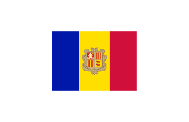
Andorra
Angola

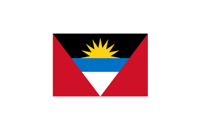
Antigua and Barbuda
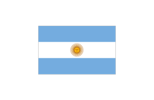
Argentina
Armenia

Australia

Austria

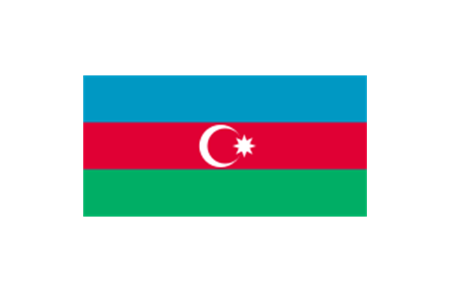
Azerbaijan
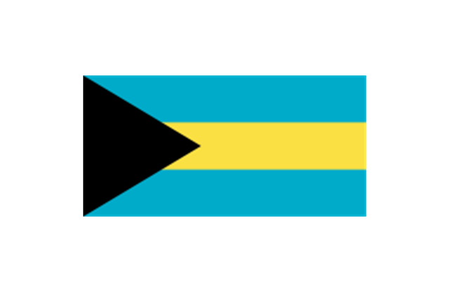
Bahamas
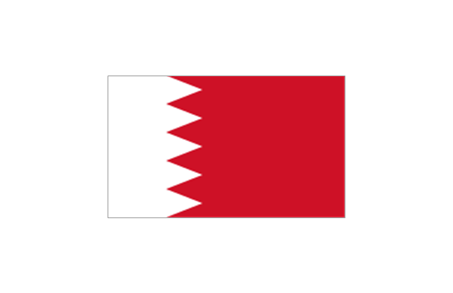
Bahrain
Bangladesh

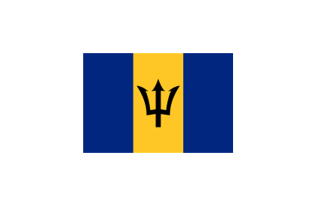
Barbados
Belarus

Belgium

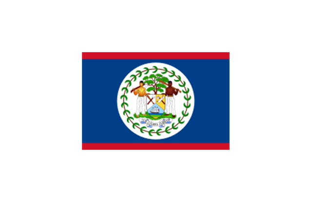
Belize
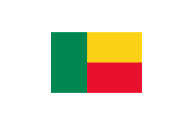
Benin
Bolivia

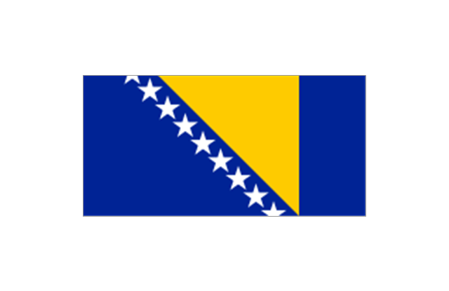
Bosnia and Herzegovina
Botswana

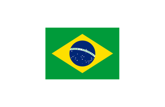
Brazil
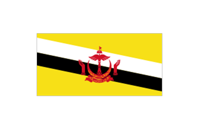
Brunei
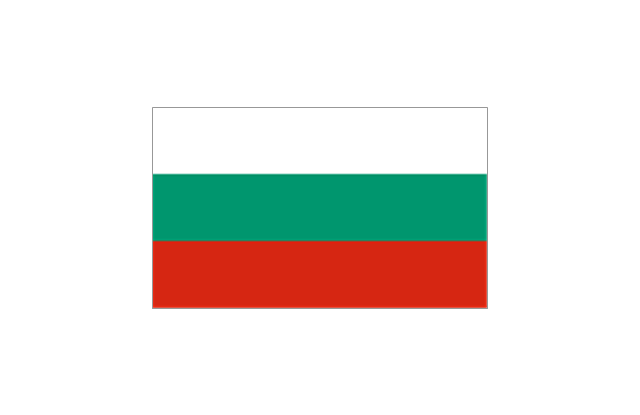
Bulgaria
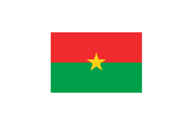
Burkina Faso
Burma

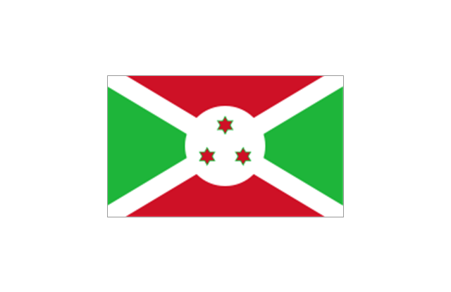
Burundi
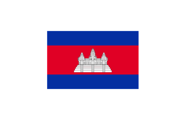
Cambodia
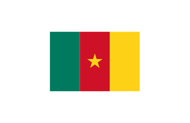
Cameroon
Canada

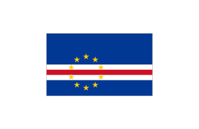
Cape Verde
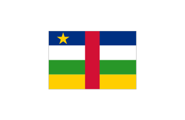
Central African Republic
Chad

Chile

China

Colombia

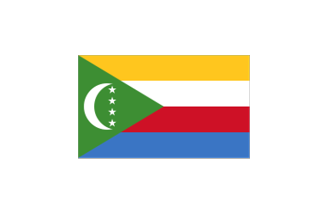
Comoros
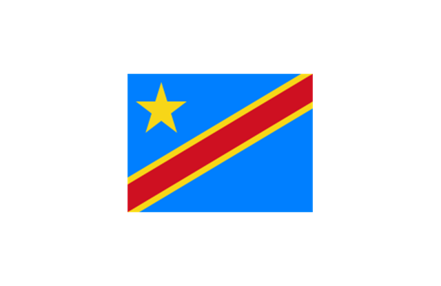
Congo
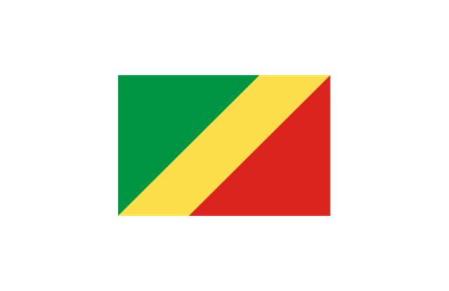
Congo
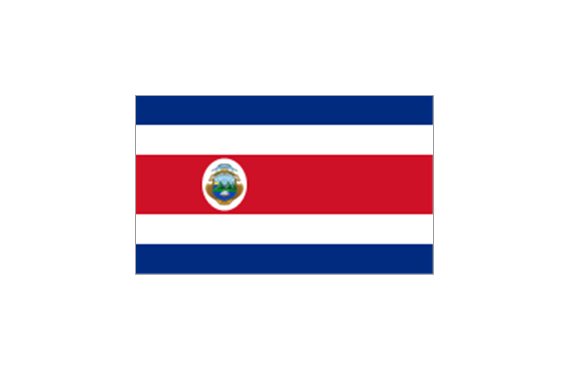
Costa Rica
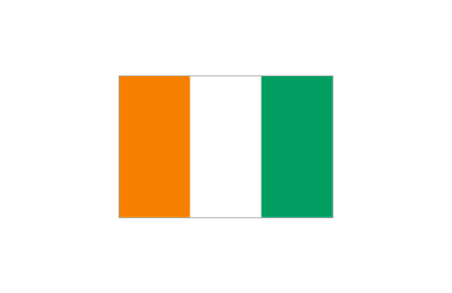
C??te d'Ivoire
Croatia

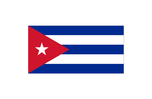
Cuba
Cyprus

Czech Republic

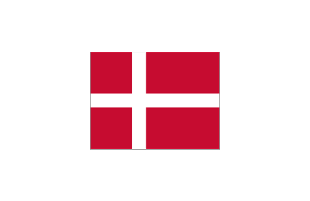
Denmark
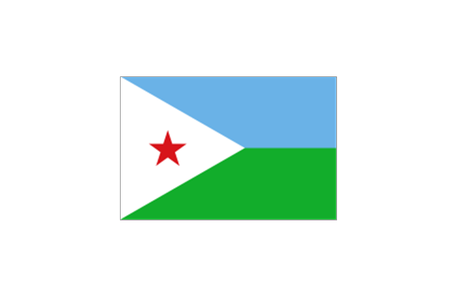
Djibouti
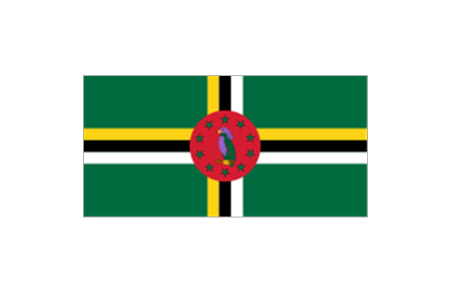
Dominica
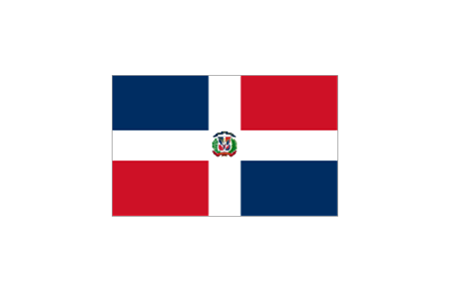
Dominican Republic
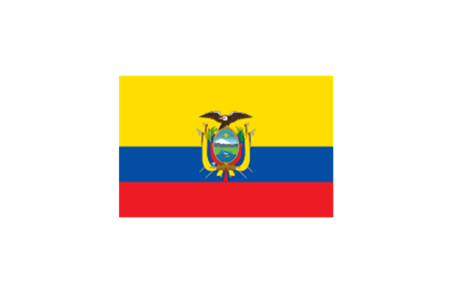
Ecuador
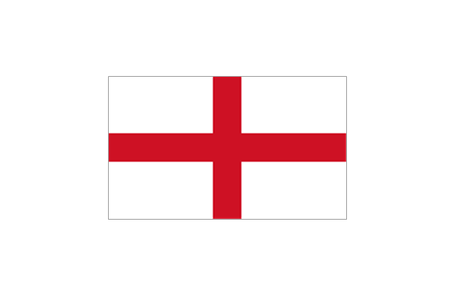
England
Egypt

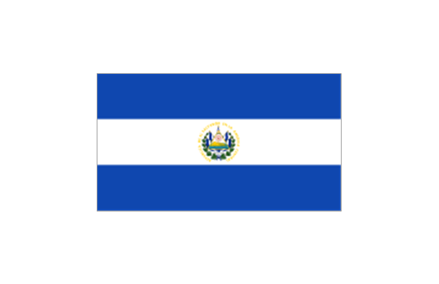
El Salvador
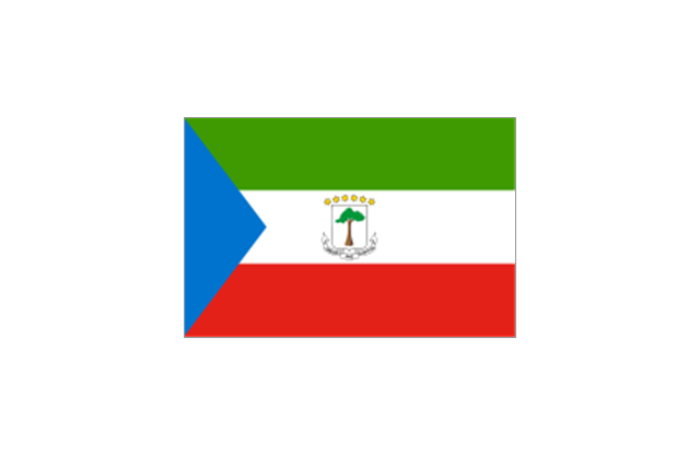
Equatorial Guinea
Eritrea

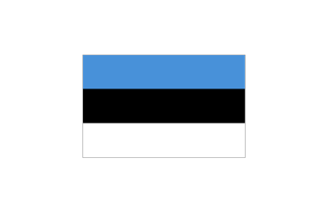
Estonia
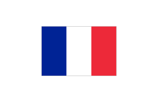
France
Ethiopia

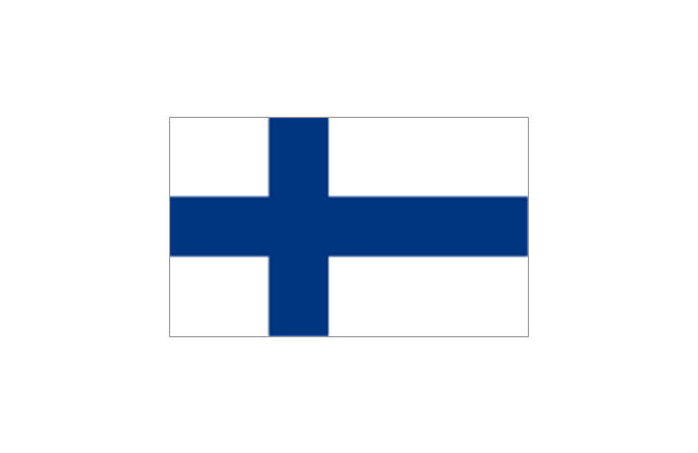
Finland
Gabon

Gambia

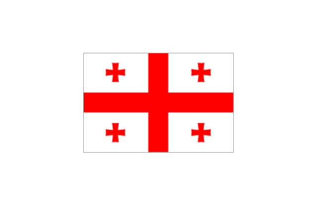
Georgia
Germany

Ghana

Greece

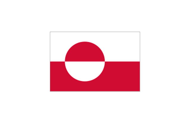
Greenland
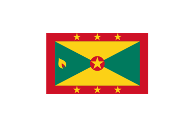
Grenada
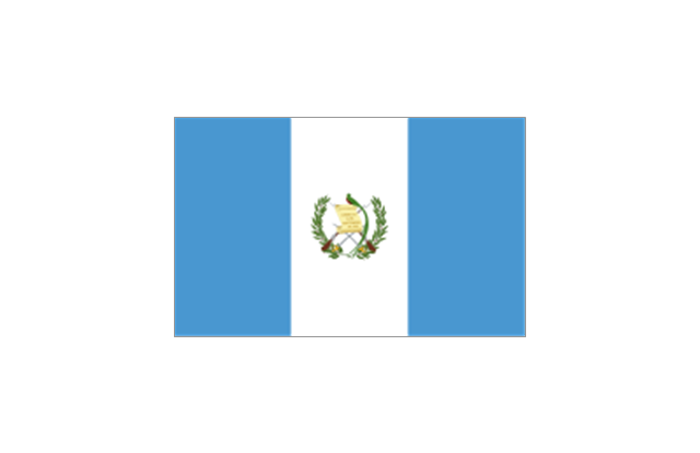
Guatemala
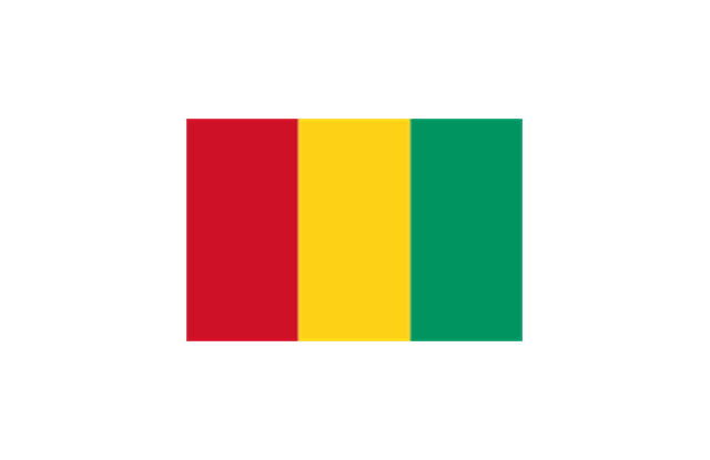
Guinea
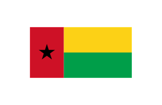
Guinea-Bissau
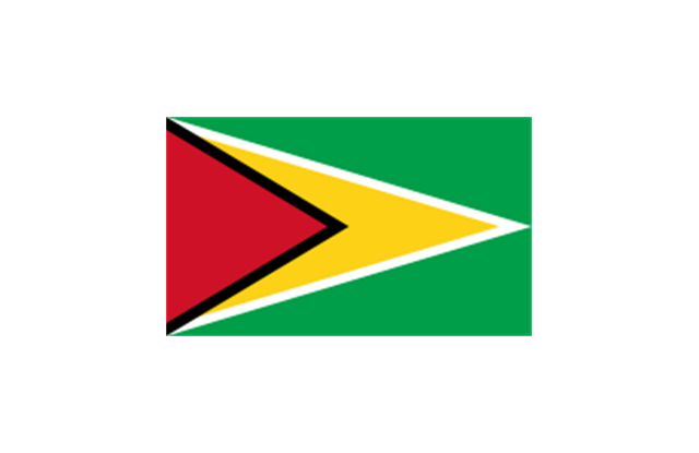
Guyana
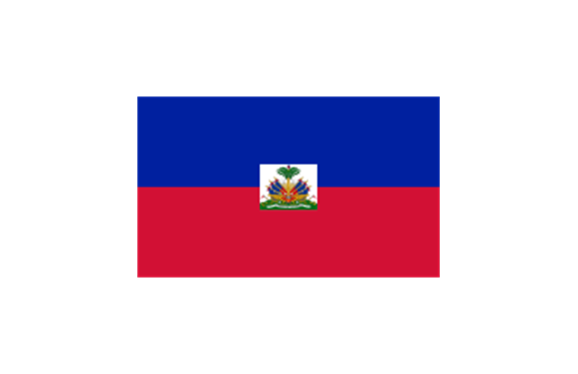
Haiti
Honduras

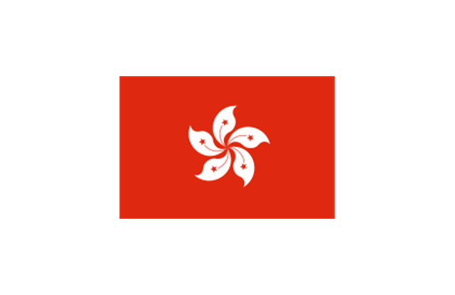
Hong Kong
Hungary

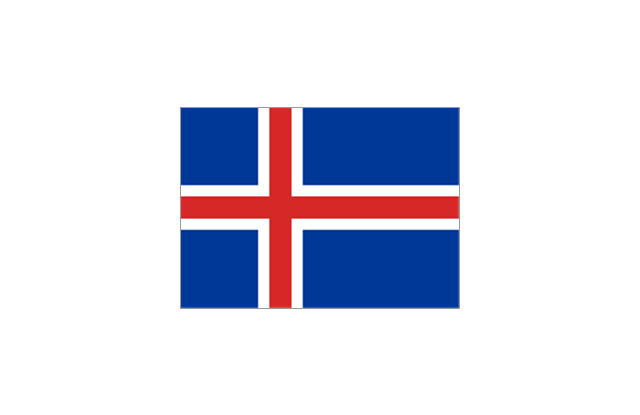
Iceland
India

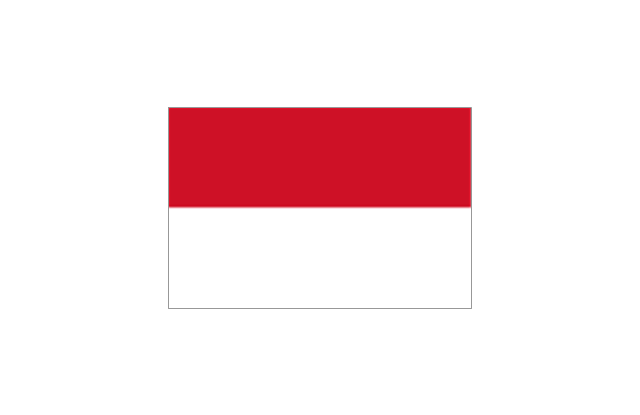
Indonesia
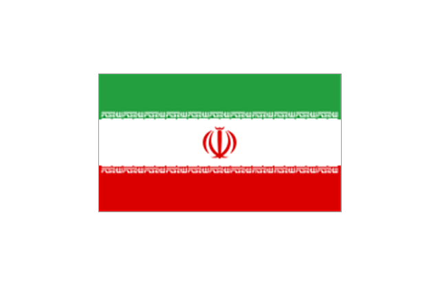
Iran
Iraq

Ireland
Israel
Italy
Jamaica
Jordan

Japan

Kazakhstan

Kenya

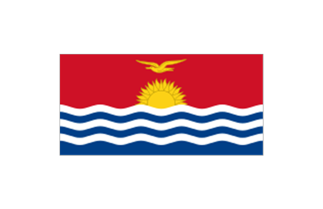
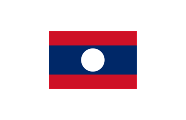
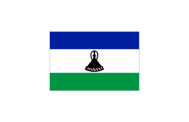
Kiribati
North Korea

South Korea

Kosovo

Laos
Kuwait

Kyrgyzstan

Latvia

Lebanon
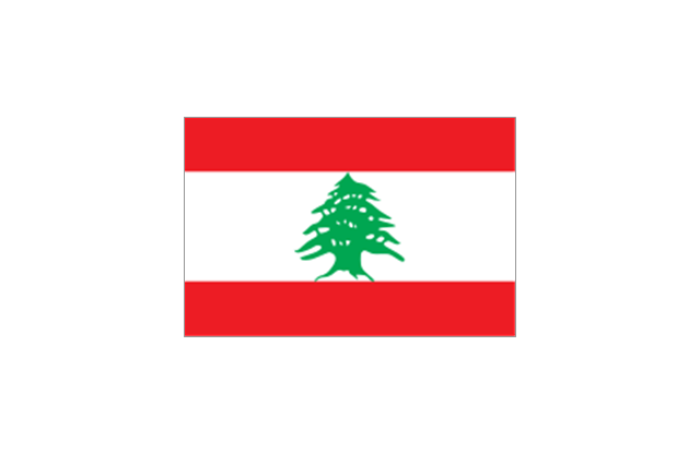
Lesotho
Liberia

Libya

Liechtenstein

Lithuania

Luxembourg

Macedonia

Madagascar
Malawi

Malaysia
Maldives
Mali
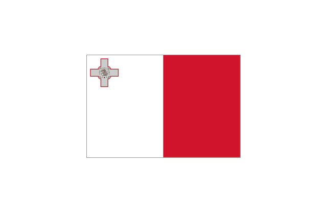
Malta
Marshall Islands

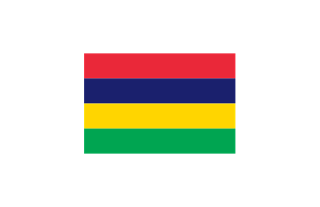
Mauritius
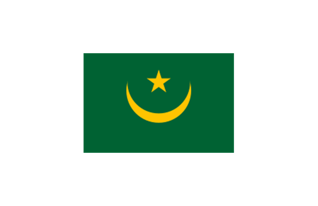
Mauritania
Mexico

Micronesia

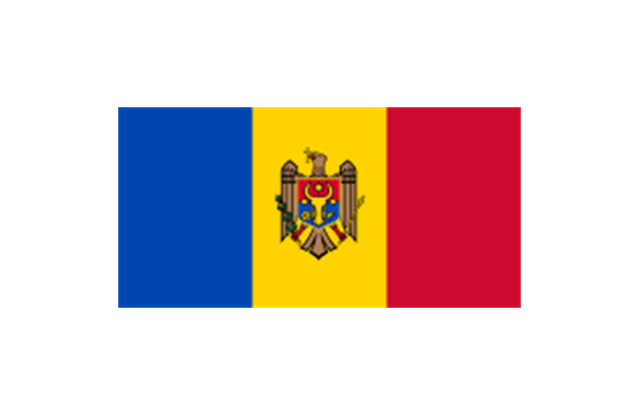
Moldova
Monaco
Mongolia

Montenegro
Morocco
Mozambique

Namibia
Nauru

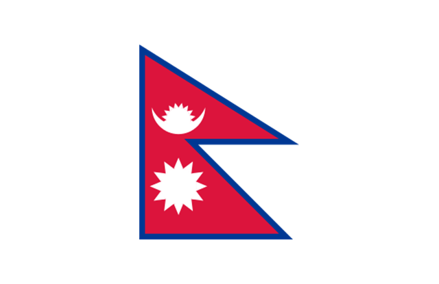
Nepal
Netherlands

New Zealand

Nicaragua

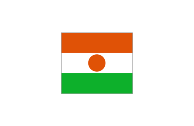
Niger
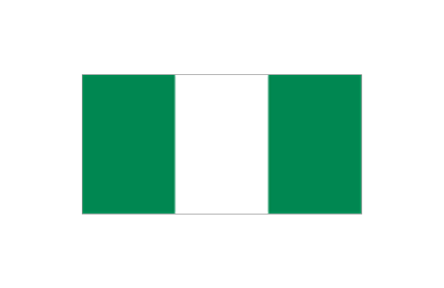
Nigeria
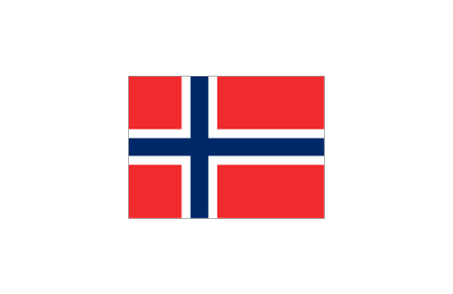
Norway
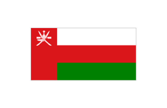
Oman
Pakistan

Palau

Palestine

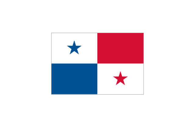
Panama
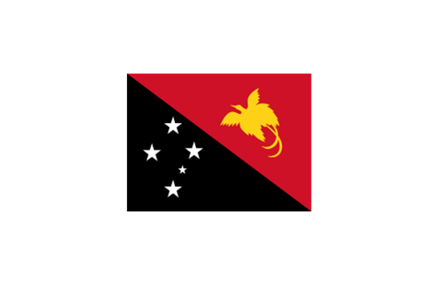
Papua New Guinea
Paraguay

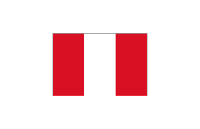
Peru
Philippines

Poland

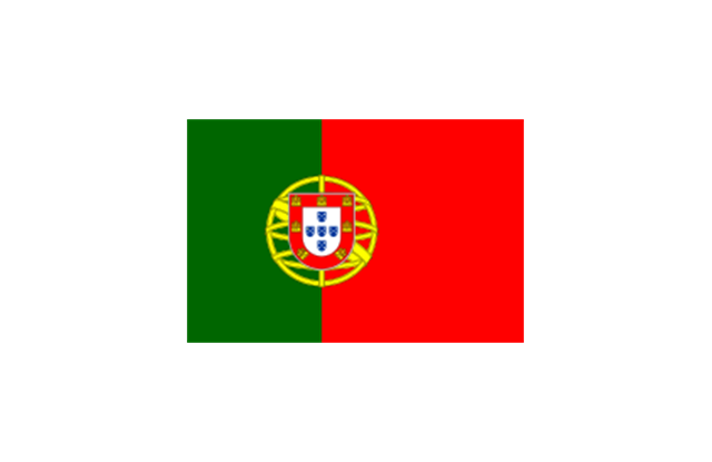
Portugal
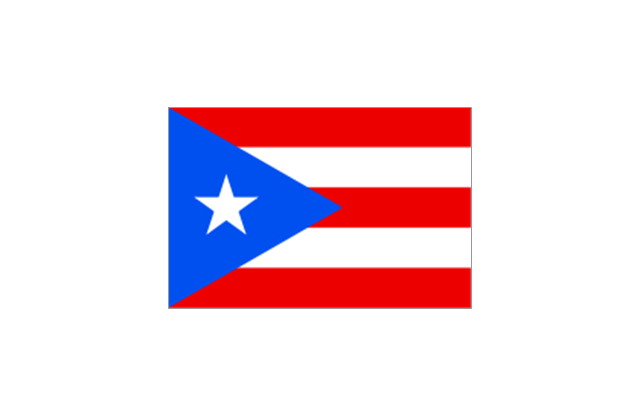
Puerto Rico
Qatar

Romania

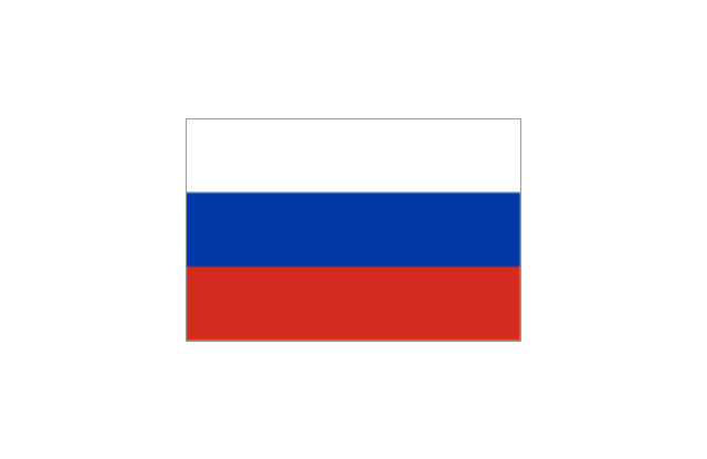
Russia
Rwanda

St. Kitts and Nevis

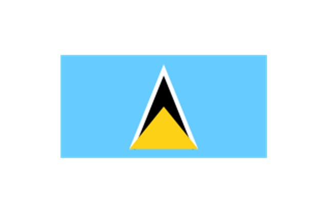
St. Lucia
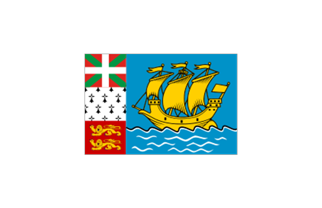
St. Pierre and Miquelon
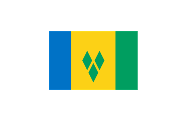
St. Vincent and the Grenadines
Samoa

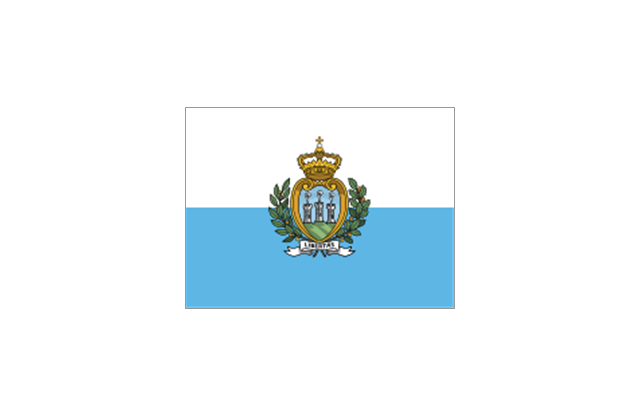
San Marino
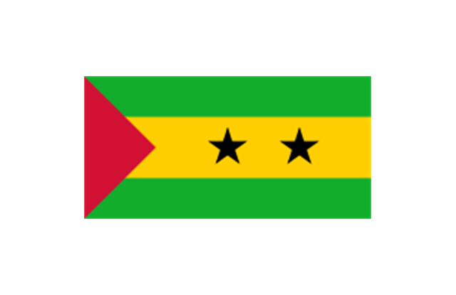
S??o Tom?? and Pr??ncipe
Saudi Arabia

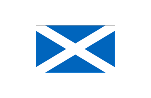
Scotland
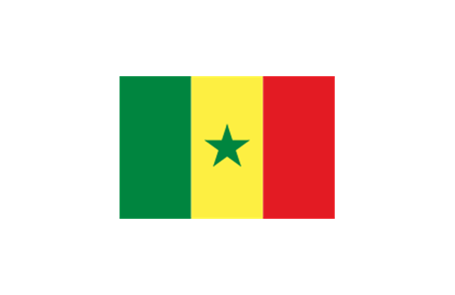
Senegal
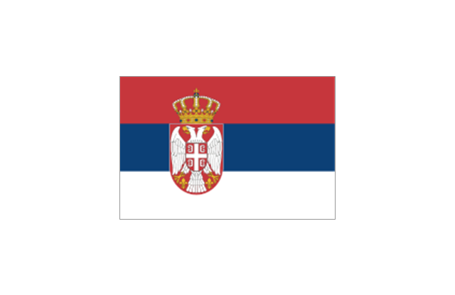
Serbia
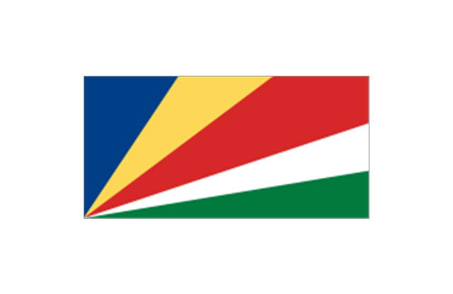
Seychelles
Sierra Leone

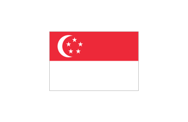
Singapore
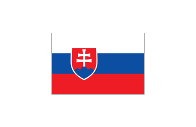
Slovakia
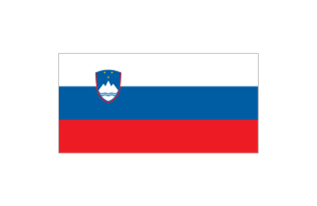
Slovenia
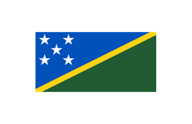
Solomon Islands
Somalia

South Africa

Spain

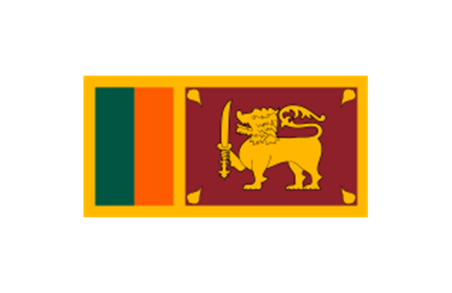
Sri Lanka
Sudan

South Sudan

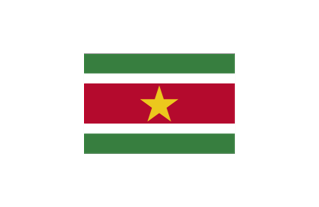
Suriname
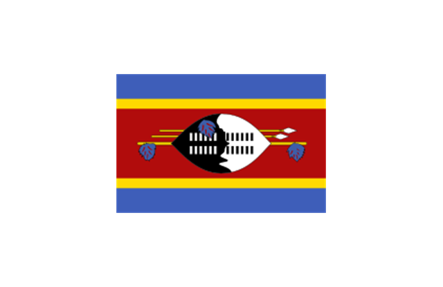
Swaziland
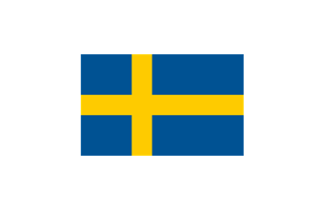
Sweden
Switzerland

Syria

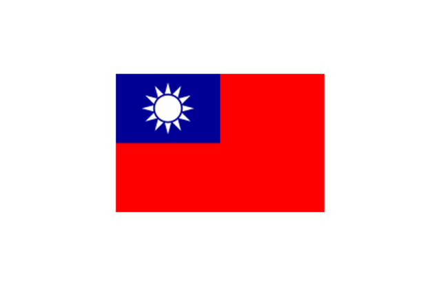
Taiwan
Tajikistan

Tanzania

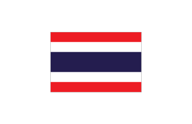
Thailand
Timor Leste

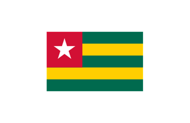
Togo
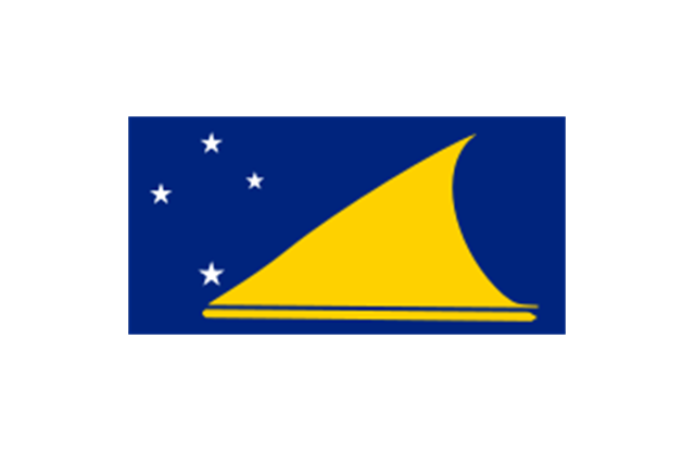
Tokelau
Tonga

Trinidad and Tobago
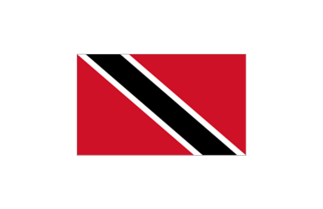
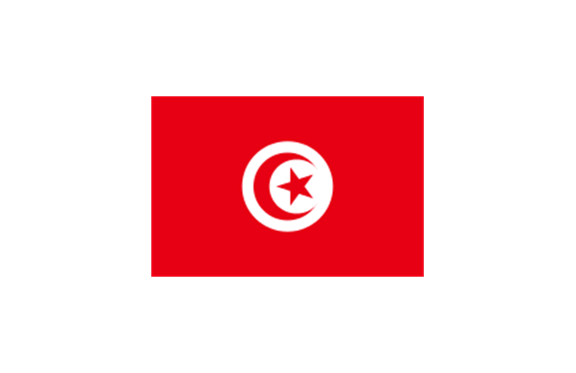
Tunisia
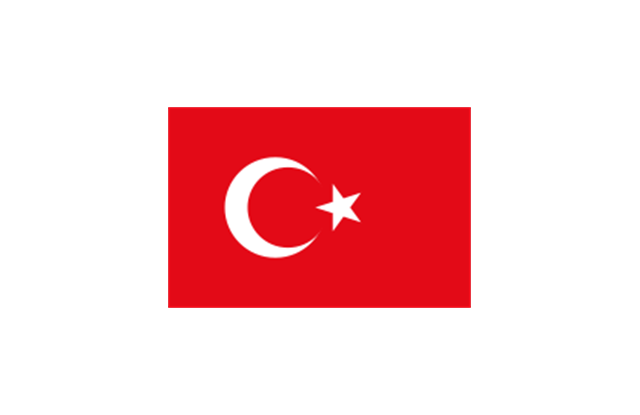
Turkey
Turkmenistan

Tuvalu

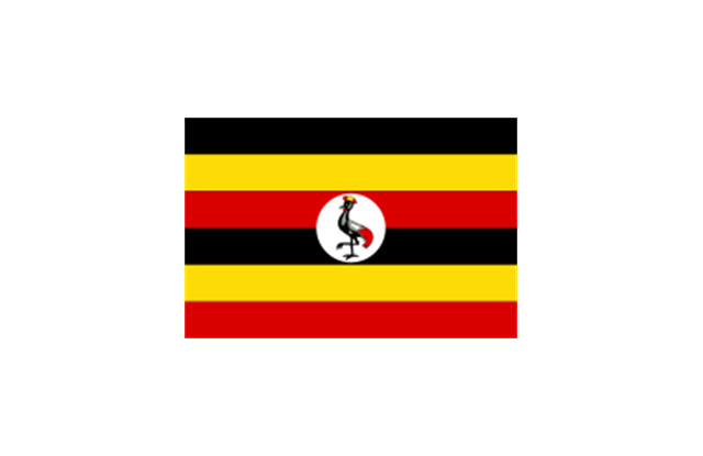
Uganda
Ukraine

United Arab Emirates

United Kingdom

United States

Uruguay
Uzbekistan

Vanuatu

Venezuela

Vietnam
Western Sahara
Yemen

Zambia

Zimbabwe

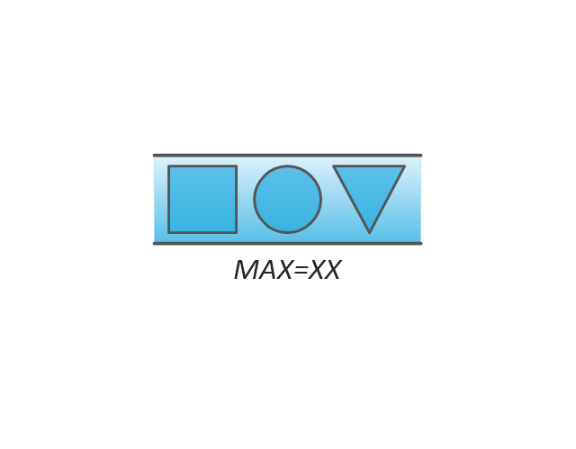
The vector stencils library "Value stream mapping" contains 43 VSM symbols.
Use it for drawing value stream maps in the ConceptDraw PRO diagramming and vector drawing software extended with the Value Stream Mapping solution from the Quality area of ConceptDraw Solution Park.
www.conceptdraw.com/ solution-park/ business-value-stream-mapping
Use it for drawing value stream maps in the ConceptDraw PRO diagramming and vector drawing software extended with the Value Stream Mapping solution from the Quality area of ConceptDraw Solution Park.
www.conceptdraw.com/ solution-park/ business-value-stream-mapping
Inventory
Inventory

Information Flow
Shipment
Shipment
Material Flow
Material Pull

FIFO Line
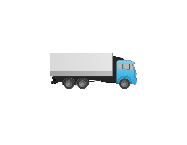
Truck shipment/Logistics
Customer/Supplier
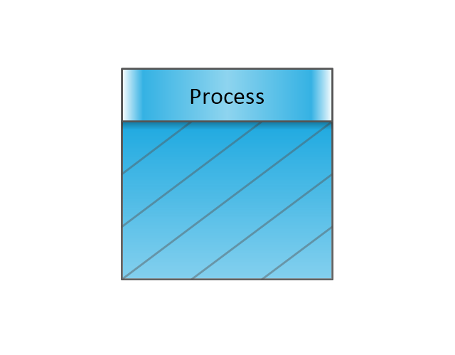
Dedicated Process

Shared Process
Supermarket Parts
Data Box
Workcell
Kaizen Burst

Operator

Other
Production Control
Manual Info
Electronic Information Flow
Production Kanban
Withdrawal Kanban
Signal Kanban
Kanban Post
Sequenced Pull
Load Levelling

MRP/ERP
Go-See
Pull Arrow
Manual Info
Pull Arrow
Timeline Total
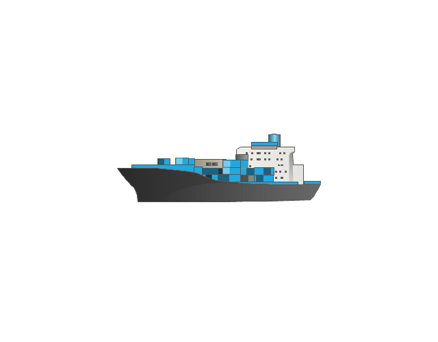
Ship
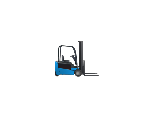
Forklift Truck
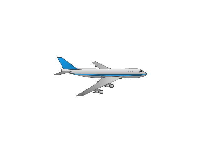
Plane
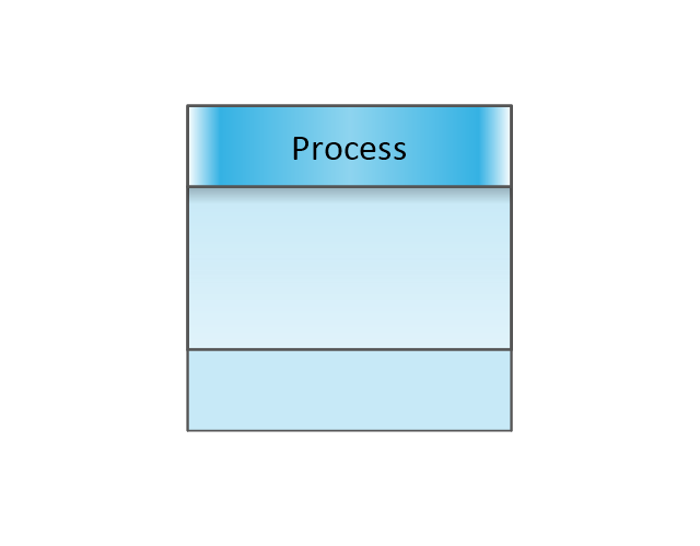
Process with Data
Timeline
Timeline
Supermarket, 2

Supermarket, 3

Safety stock, 2
Safety stock, 3
 Entity-Relationship Diagram (ERD)
Entity-Relationship Diagram (ERD) solution extends ConceptDraw PRO software with templates, samples and libraries of vector stencils from drawing the ER-diagrams by Chen's and crow’s foot notations.
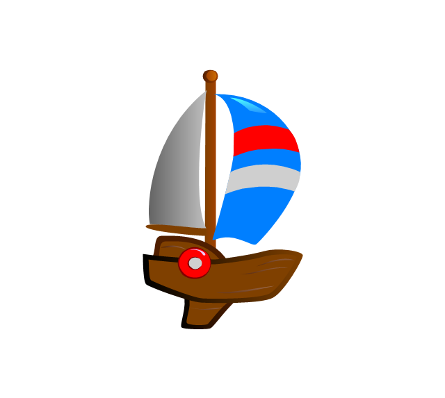
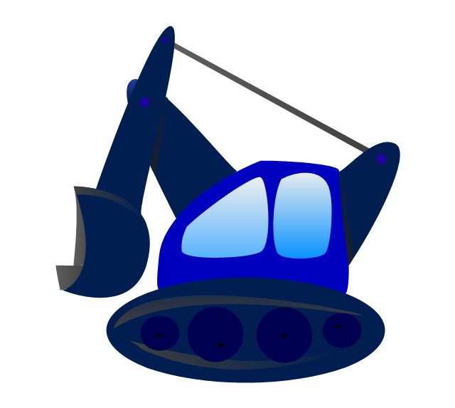
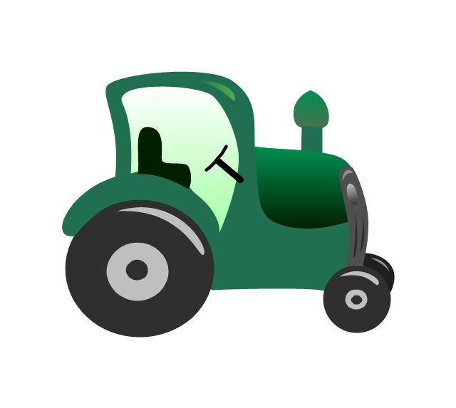
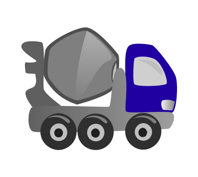
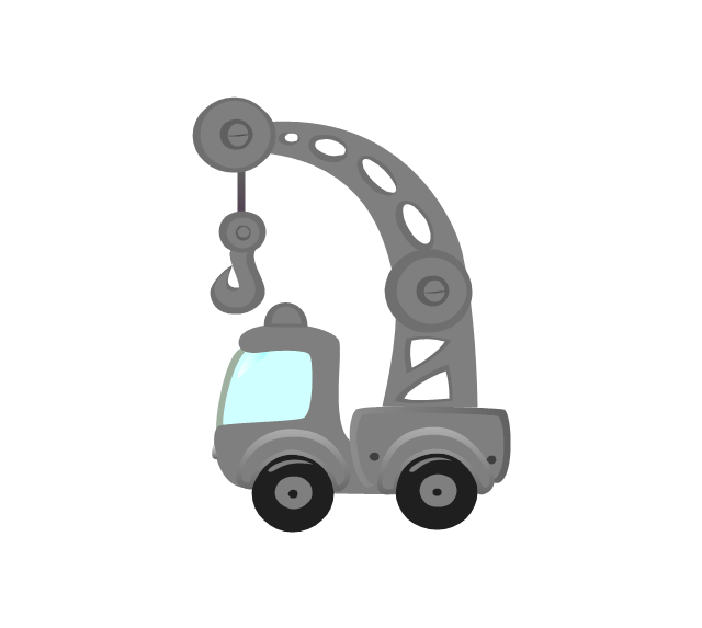
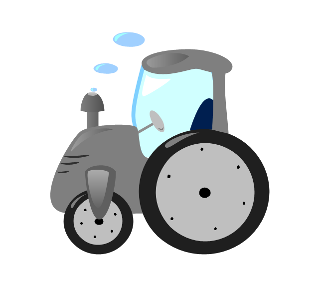
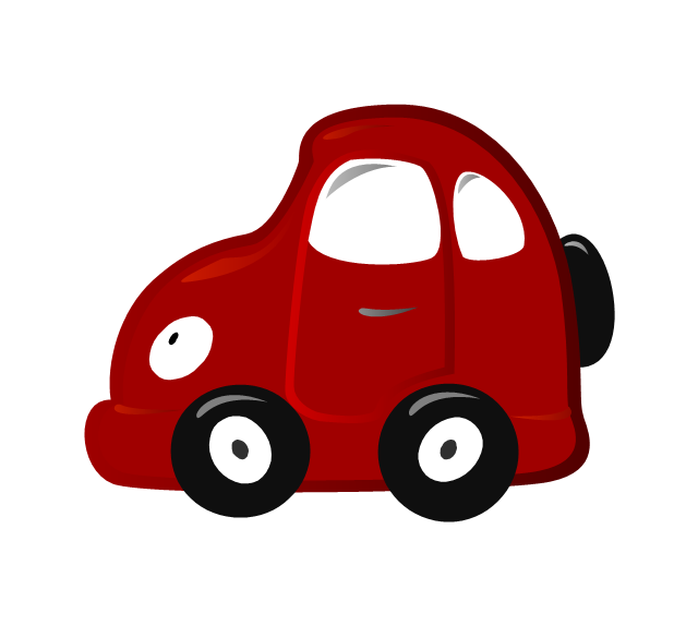
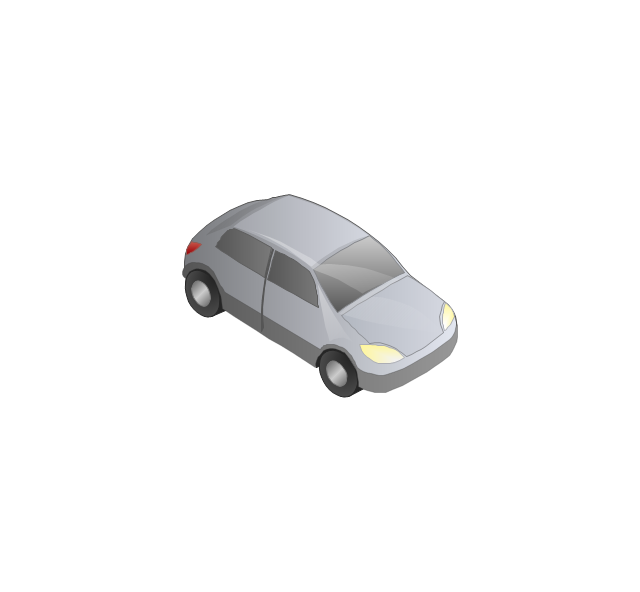
The vector stencils library "Funny transport" contains 17 clipart images of toy vehicles for drawing illustrations for children.
The example of cartoon clip art for kids "Funny transport - Vector stencils library" was created using the ConceptDraw PRO diagramming and vector drawing software extended with the Artwork solution from the Illustration area of ConceptDraw Solution Park.
The example of cartoon clip art for kids "Funny transport - Vector stencils library" was created using the ConceptDraw PRO diagramming and vector drawing software extended with the Artwork solution from the Illustration area of ConceptDraw Solution Park.
Yacht
Brig

Ship

Excavator
Tractor
Lorry

Concrete mixer
Truck crane
Tractor 2
Car
Locomotive

Snowmobile
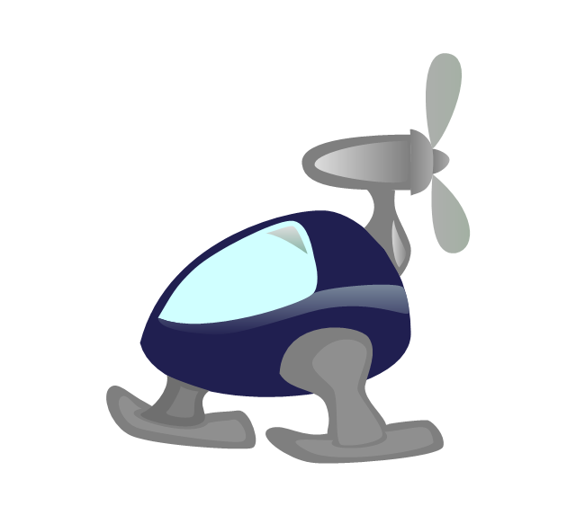
Helicopter
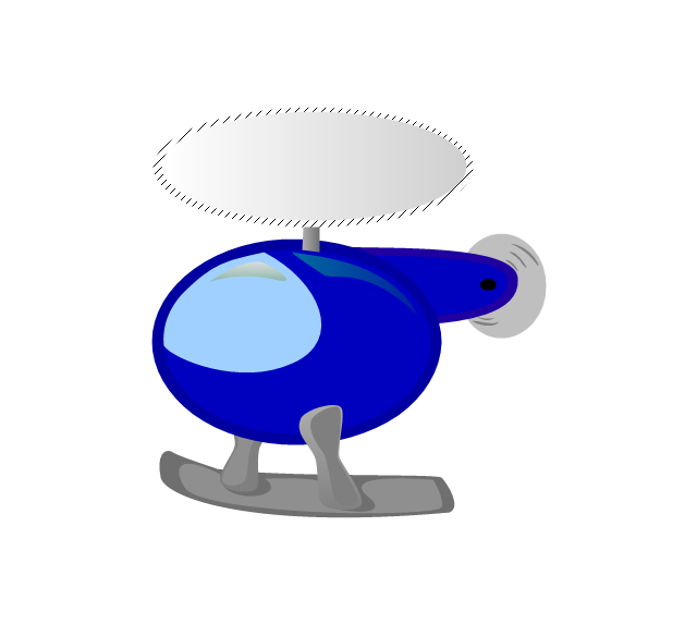
Helicopter 2

Rocket

Airbus

Airplane

Relationships Analysis

Gant Chart in Project Management

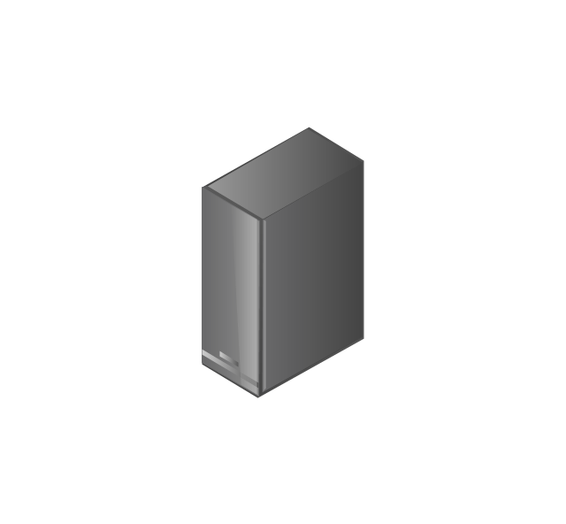
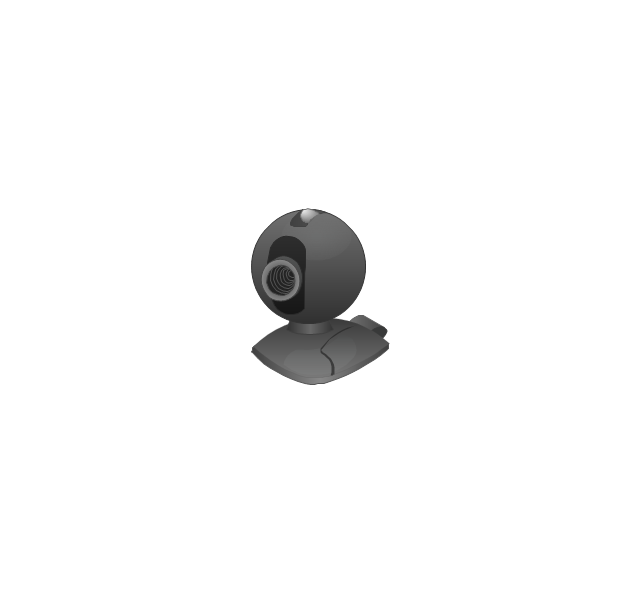
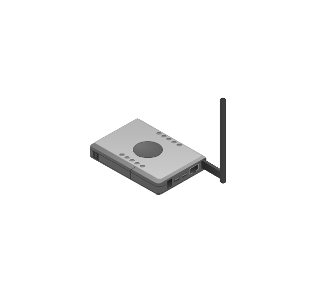
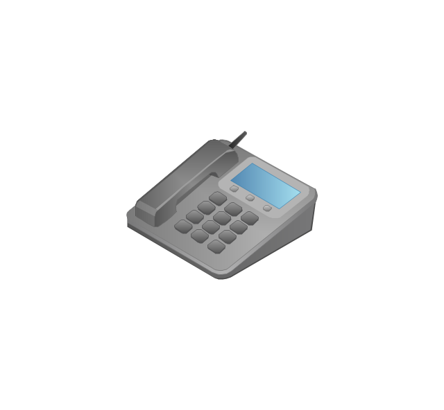
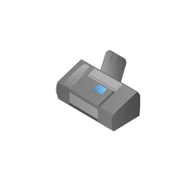
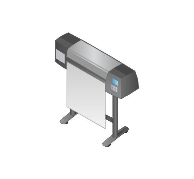
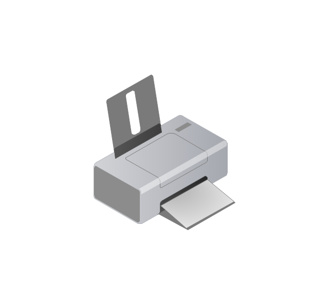
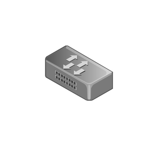
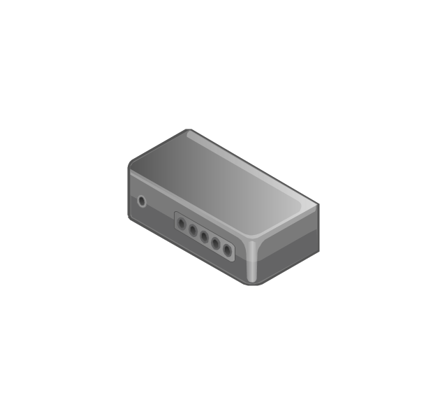
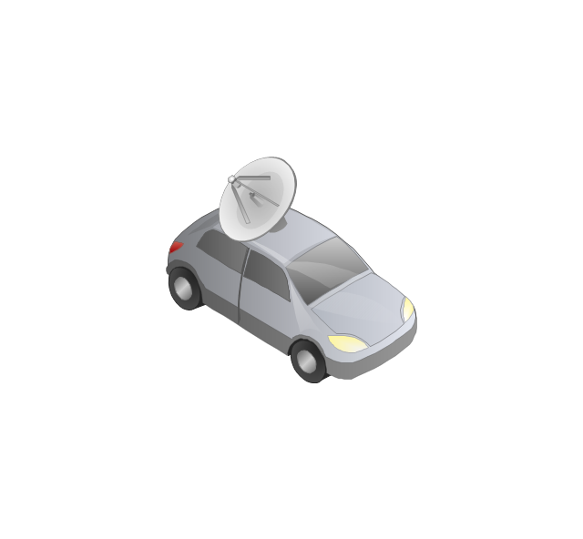
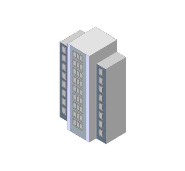
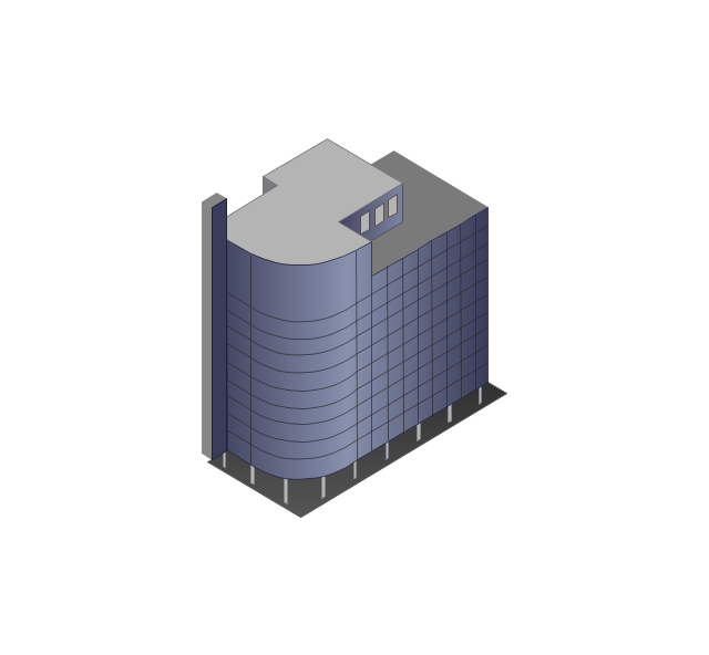
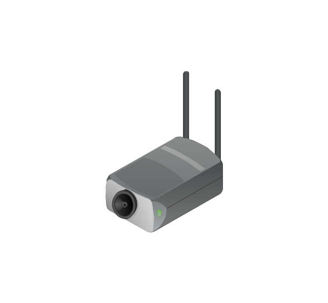
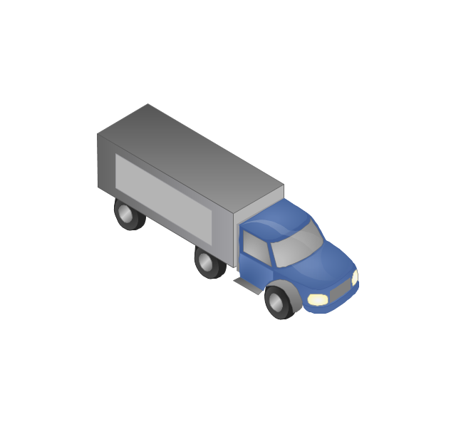
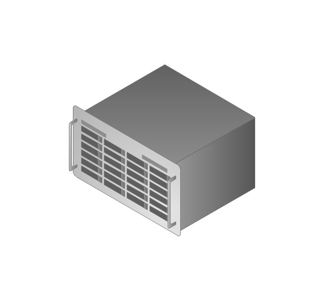
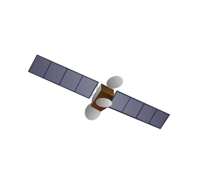
The vector stencils library "Computers and network isometric" contains 56 3D clipart images of computer and network devices and equipment for drawing network diagrams.
The clip art example "Computers and network isometric - Vector stencils library" was created using the ConceptDraw PRO diagramming and vector drawing software extended with the Computer and Networks solution from the Computer and Networks area of ConceptDraw Solution Park.
The clip art example "Computers and network isometric - Vector stencils library" was created using the ConceptDraw PRO diagramming and vector drawing software extended with the Computer and Networks solution from the Computer and Networks area of ConceptDraw Solution Park.
Laptop

DDCS
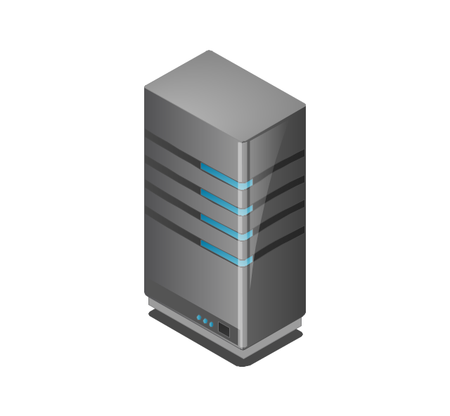
Server
Webcam
Wireless Network Storage
Personal computer

VoIP phone
Fax
Plotter
Mobile phone
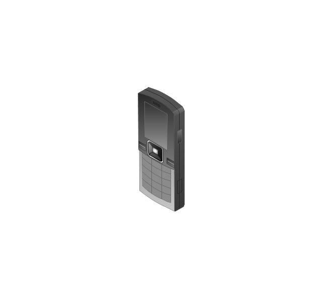
Feature phone

Printer
Satellite dish
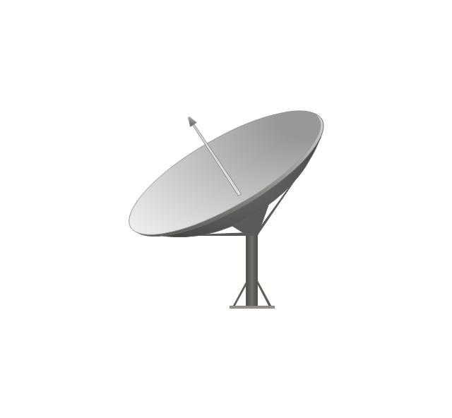
Satellite antenna
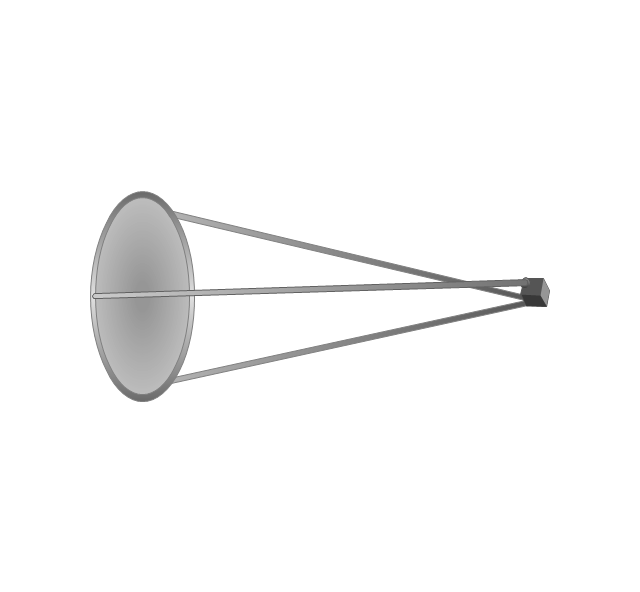
Automatic-tracking satellite dish
Wireless access point
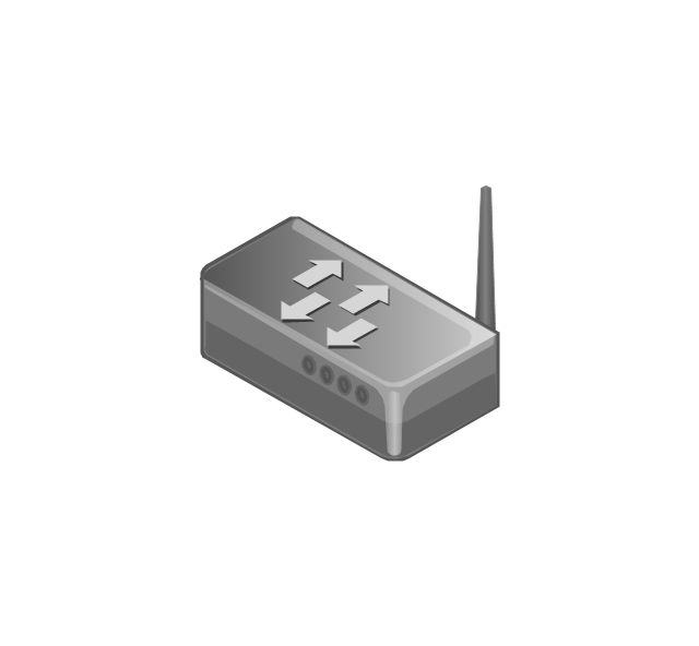
Wireless router
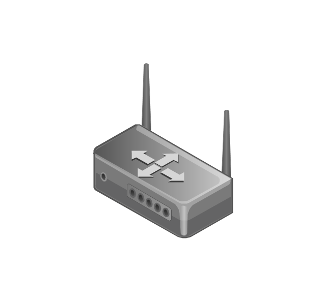
Router
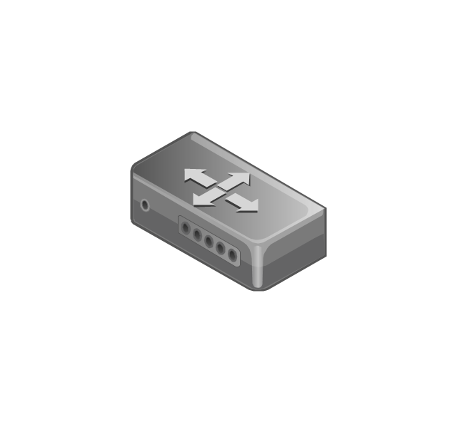
Network switch
Network device
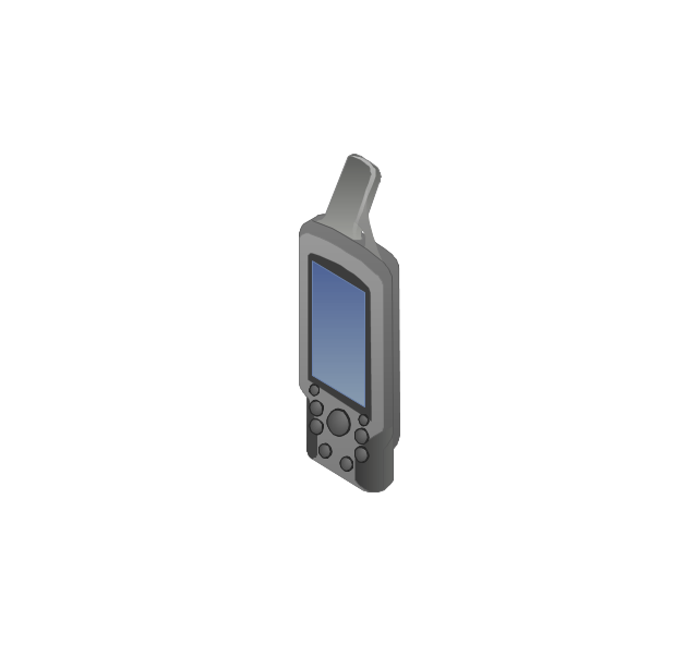
Mobile GPS Terminal
GPS phone
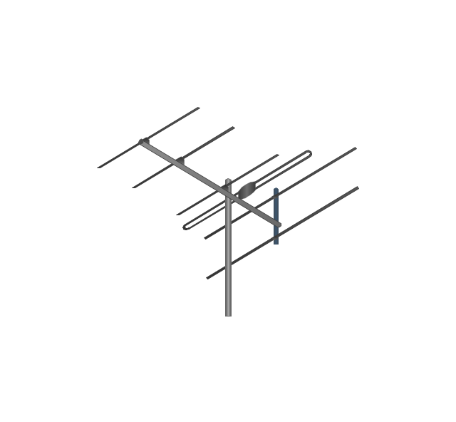
Television antenna
Radio tower

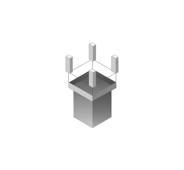
Base station
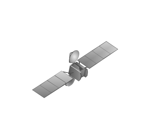
Satellite
In-vehicle satellite telecommunication
Satellite dishes on ship
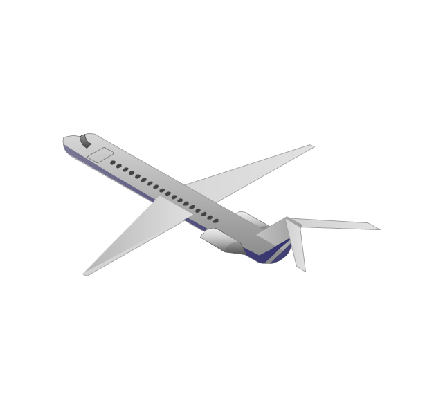
Airplane
Internet

Man

Woman

Call-center

Honeycomb
Mountain

Radio waves

Radio waves

Tower block
Office building
House

House

Globe

Wireless security camera
Truck
Tree

Conifer tree

1U hub / switch
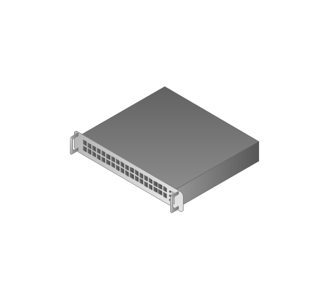
2U hub / switch
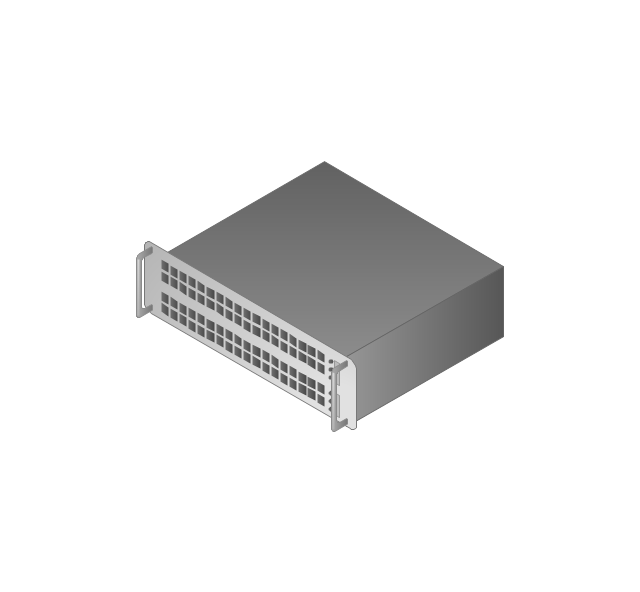
1U server

2U Server
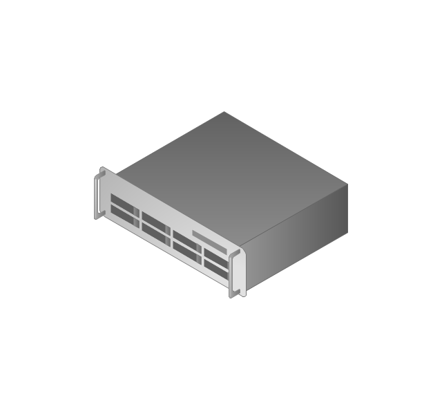
3U Server
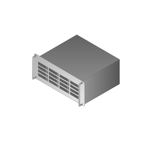
4U Server
Communications satellite
Car
Radio waves

Firewall

This work flow chart sample was redesigned from the picture "Weather Forecast" from the article "Simulation Workflows".
[iaas.uni-stuttgart.de/ forschung/ projects/ simtech/ sim-workflows.php]
"(1) The weather is predicted for a particular geological area. Hence, the workflow is fed with a model of the geophysical environment of ground, air and water for a requested area.
(2) Over a specified period of time (e.g. 6 hours) several different variables are measured and observed. Ground stations, ships, airplanes, weather balloons, satellites and buoys measure the air pressure, air/ water temperature, wind velocity, air humidity, vertical temperature profiles, cloud velocity, rain fall, and more.
(3) This data needs to be collected from the different sources and stored for later access.
(4) The collected data is analyzed and transformed into a common format (e.g. Fahrenheit to Celsius scale). The normalized values are used to create the current state of the atmosphere.
(5) Then, a numerical weather forecast is made based on mathematical-physical models (e.g. GFS - Global Forecast System, UKMO - United Kingdom MOdel, GME - global model of Deutscher Wetterdienst). The environmental area needs to be discretized beforehand using grid cells. The physical parameters measured in Step 2 are exposed in 3D space as timely function. This leads to a system of partial differential equations reflecting the physical relations that is solved numerically.
(6) The results of the numerical models are complemented with a statistical interpretation (e.g. with MOS - Model-Output-Statistics). That means the forecast result of the numerical models is compared to statistical weather data. Known forecast failures are corrected.
(7) The numerical post-processing is done with DMO (Direct Model Output): the numerical results are interpolated for specific geological locations.
(8) Additionally, a statistical post-processing step removes failures of measuring devices (e.g. using KALMAN filters).
(9) The statistical interpretation and the numerical results are then observed and interpreted by meteorologists based on their subjective experiences.
(10) Finally, the weather forecast is visualized and presented to interested people." [iaas.uni-stuttgart.de/ forschung/ projects/ simtech/ sim-workflows.php]
The example "Workflow diagram - Weather forecast" was drawn using the ConceptDraw PRO diagramming and vector drawing software extended with the Workflow Diagrams solution from the Business Processes area of ConceptDraw Solution Park.
Work flow chart

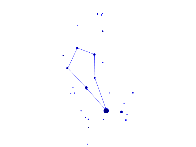
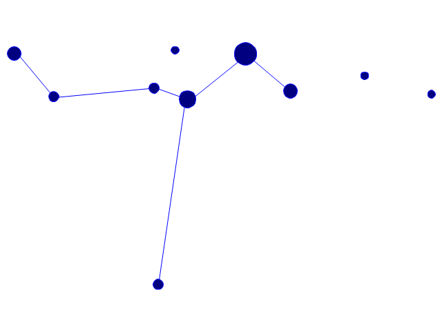
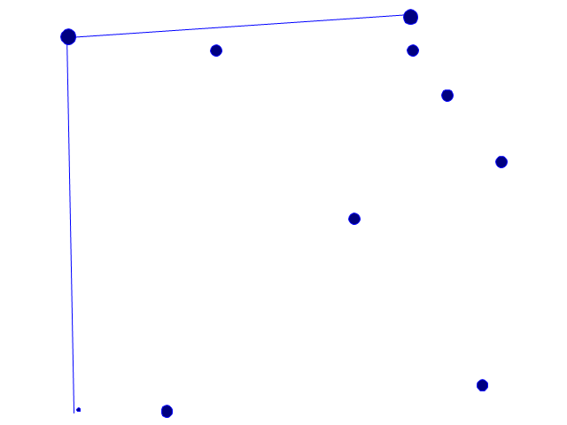
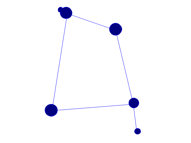
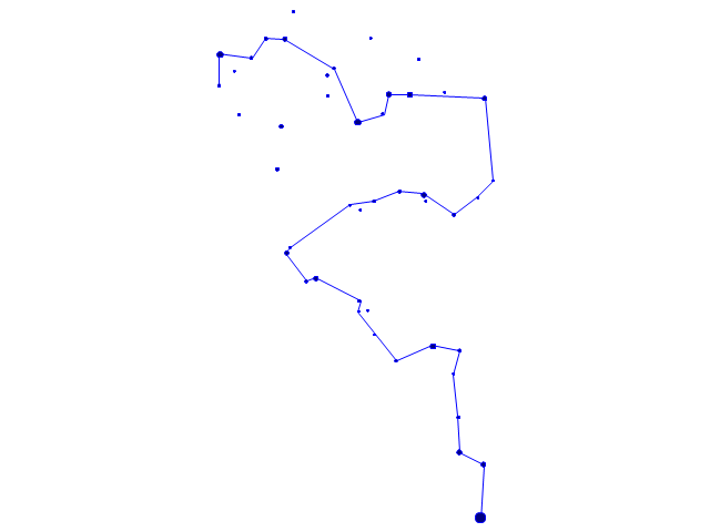
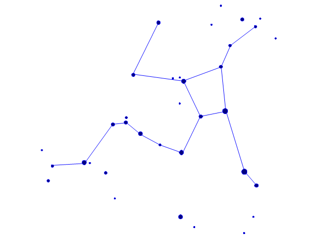
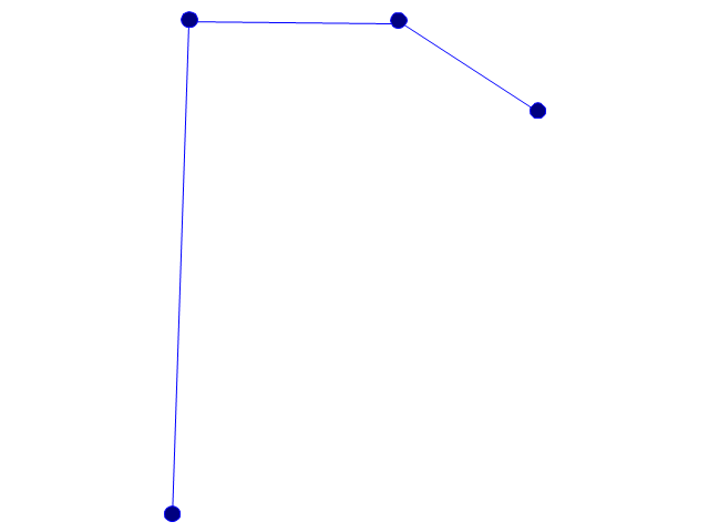
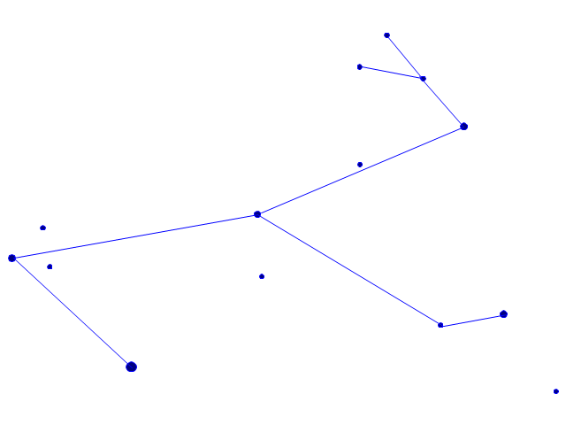
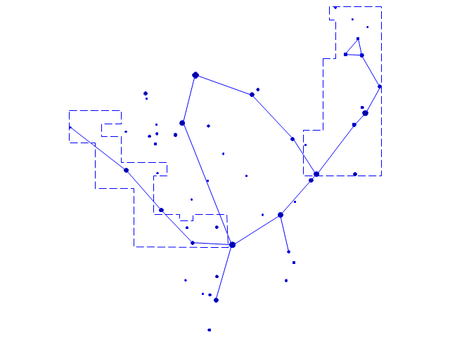
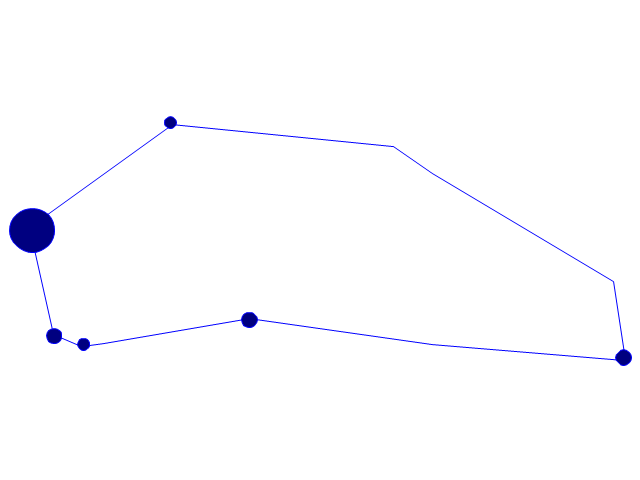
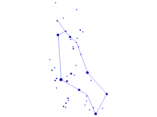
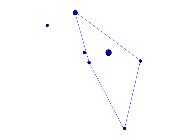
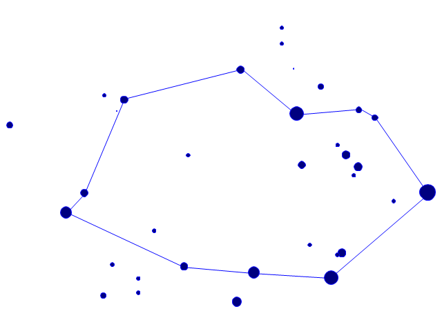
The vector stencils library "Constellations except Zodiac, Northern and Southern" contains 47 star constellation maps of all constellations except Zodiac, Northern (45-90 degrees) and Southern (45-90 degrees).
Use these shapes for drawing astronomical diagrams and illustrations in ConceptDraw PRO diagramming and vector drawing software extended with the Astronomy solution from the Science and Education area in ConceptDraw Solution Park.
Use these shapes for drawing astronomical diagrams and illustrations in ConceptDraw PRO diagramming and vector drawing software extended with the Astronomy solution from the Science and Education area in ConceptDraw Solution Park.
Andromeda

Antlia

Aquila

Auriga

Bootes
Caelum

Canes Venatici

Canis Major

Canis Minor

Centaurus

Cetus

Columba
Coma Berenices
Corona Australis

Corona Borealis

Corvus
Crater

Cygnus

Delphinus

Equuleus
Eridanus
Fornax

Grus

Hercules
Hydra

Lacerta

Leo Minor

Lepus

Lupus

Lynx

Lyra

Microscopium
Monoceros
Ophiuchus and Serpens
Orion

Pegasus

Perseus

Piscis Austrinus
Puppis
Pyxis

Sagitta

Sculptor

Scutum
Sextans

Triangulum
Vela
Vulpecula

- 3d Cargo Ship Png
- Cartoon Container Ship Png
- Passenger Ship Png
- Png Yacht
- Satellite Webcam Of Png
- Rocket Illustration Png
- Ship
- Satellite Waves Png
- Submarine Ship Water
- Funny transport - Vector stencils library | Funny Toy Lorry Png
- Car Carriers Ship Of Basic Model
- Excavator Png
- Watercraft - Design Elements | Aerospace and Transport | Yearly ...
- 3d Mountain Png
- Watercraft - Vector stencils library | Watercraft - Vector stencils library ...
- Natural gas condensate - PFD | Watercraft - Vector stencils library ...
- Wallet Images Png
- Crane Car Png
- Radio Waves Png Clipart
- | Ship Clipart And Its Sound