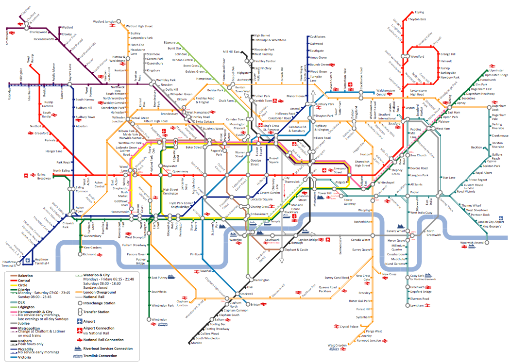
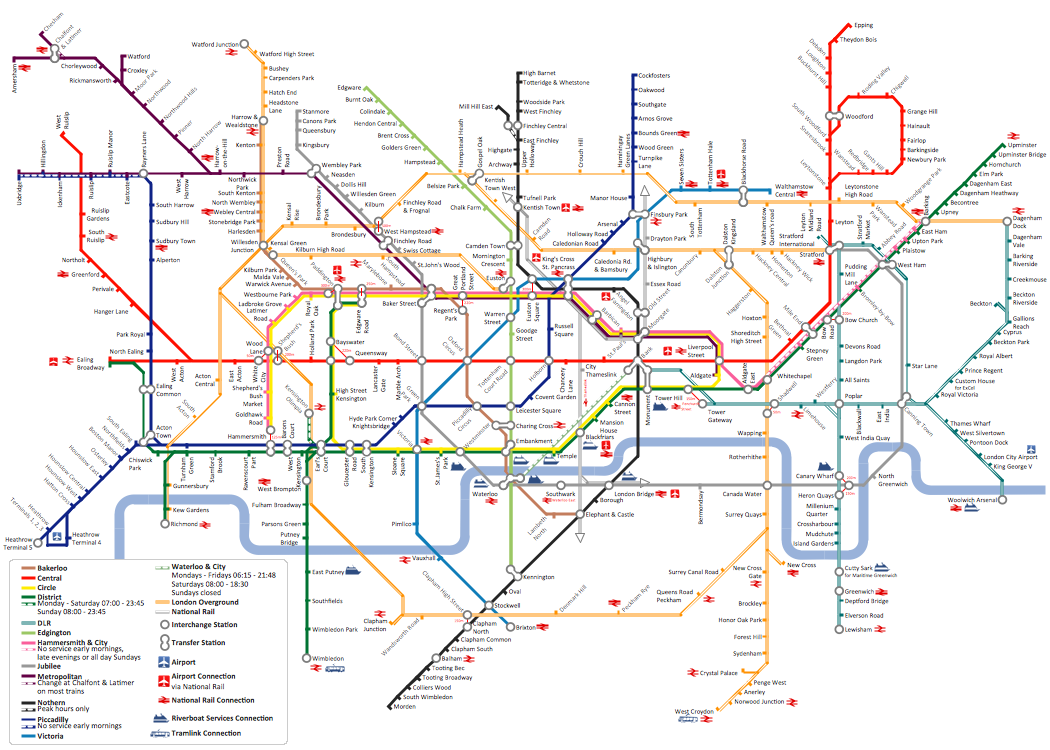
How to draw Metro Map style infographics? (London)
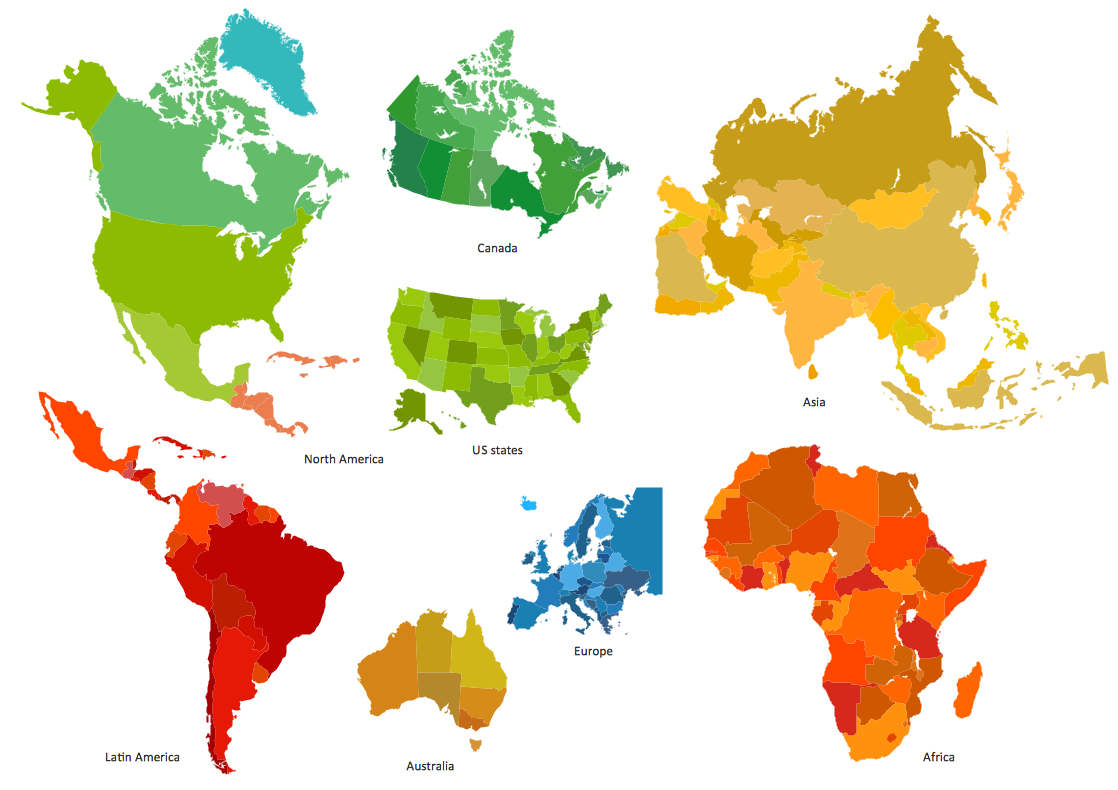
Tool to draw Metro Map styled inforgraphics. London Tube map sample.Geo Mapping Software Examples - World Map Outline
An Example world map, showing a simple outline of world map. The world map is vector and can be edited or export to svg format.
 Metro Map
Metro Map solution extends ConceptDraw PRO software with templates, samples and library of vector stencils for drawing the metro maps, route maps, bus and other transport schemes, or design tube-style infographics.
Metro Map
ConceptDraw Metro Maps solution is a one-click tool to add stations to the metro map. It lets you control the direction in which you create new stations, change lengths, and add text labels and icons. It contains Lines, Stations, and Landmarks objects. The Metro Map Solution from the Maps Area uses two ConceptDraw techniques: Replicating Objects and Switching Objects. And the result is a vector graphic document.Directions Map
ConceptDraw PRO is a powerful diagramming and vector drawing software. Extended with Directional Maps Solution from the Maps Area of ConceptDraw Solution Park, it became the best software for quick and easy designing Directions Map of any complexity.MTA Subway Map
ConceptDraw PRO diagramming and vector drawing software offers the easiest and time-saving way of drawing the MTA Subway Map. Let's try to make sure this with Metro Map Solution from the Maps Area for ConceptDraw PRO Solution Park.Subway infographic design elements - software tools
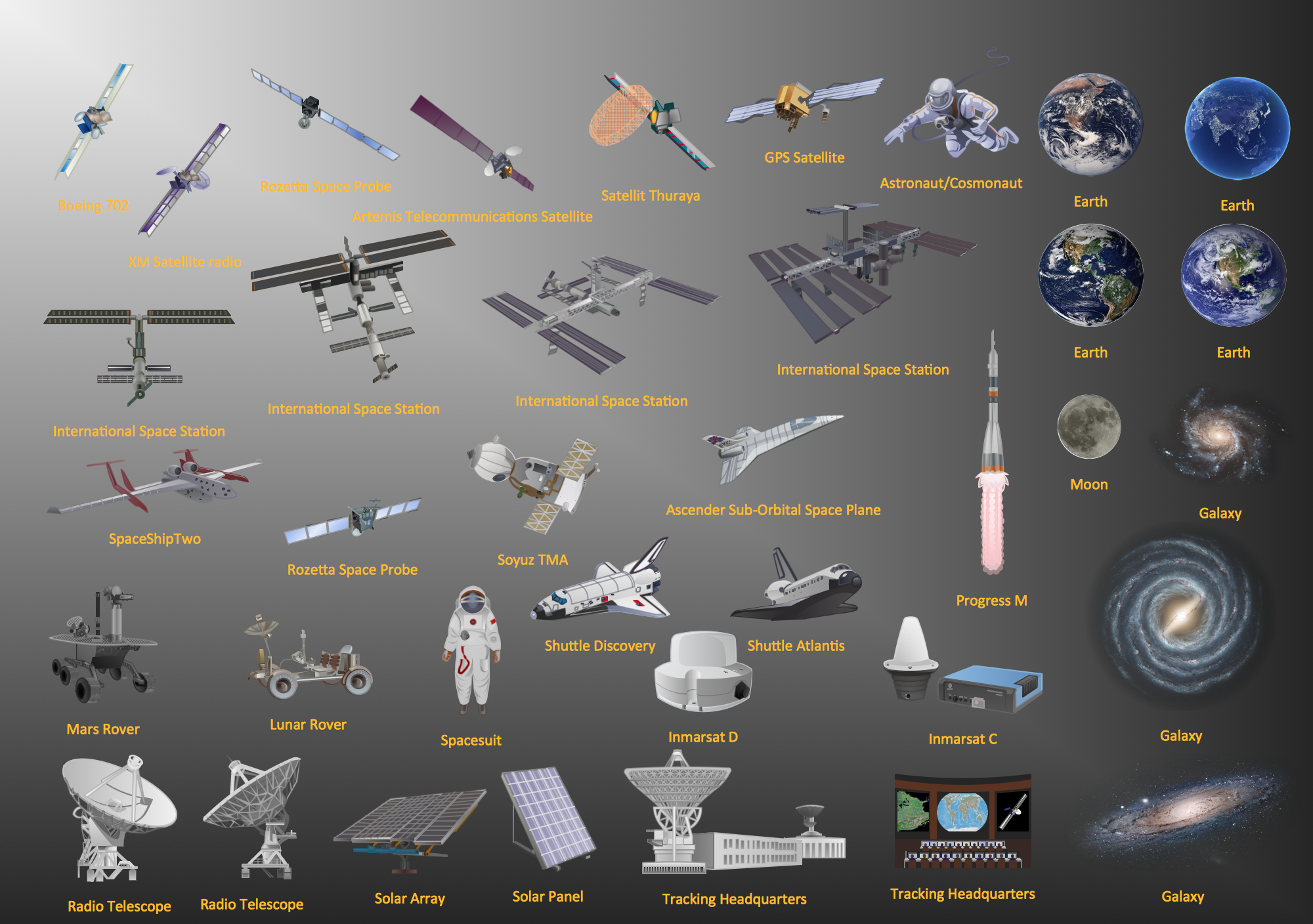
Subway infographic design elements of MetroMap and ConceptDraw software tools.Aerospace - Design Elements
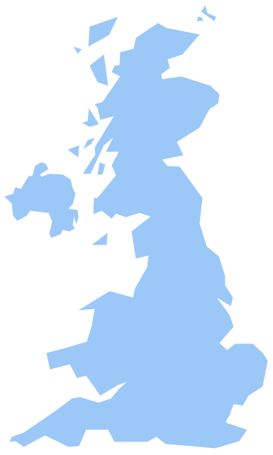
Samples, templates and libraries contain vector clip art for drawing the Aerospace Illustrations.Geo Map - Europe - United Kingdom
The vector stencils library United Kingdom contains contours for ConceptDraw PRO diagramming and vector drawing software. This library is contained in the Continent Maps solution from Maps area of ConceptDraw Solution Park.Bubble Map Maker
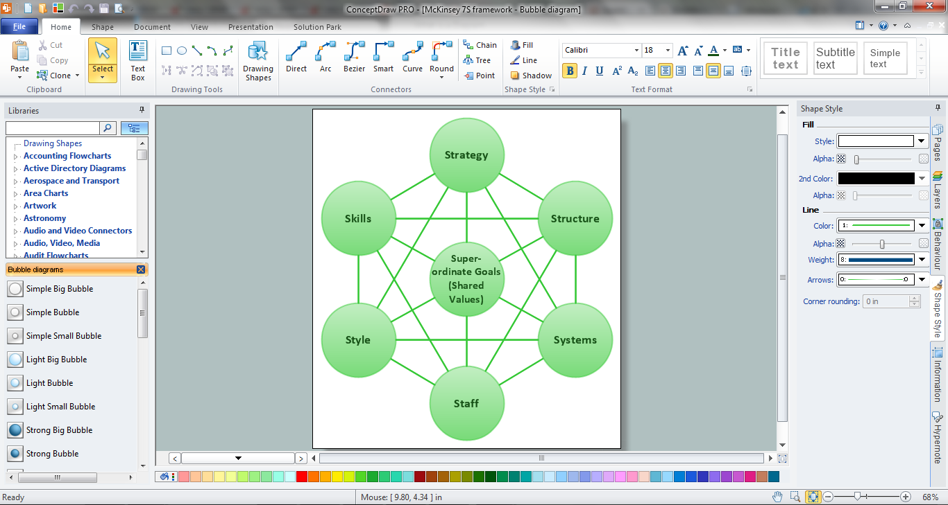
The Bubble Map is a popular tool for visualization a data set which is widely used in economics, medicine, software engineering, architecture, and many other fields. Each bubble on the Bubble Map is characterized by coordinates, color and size. ConceptDraw PRO diagramming and vector drawing software extended with Bubble Diagrams Solution from the "What is a Diagram" Area is a powerful Bubble Map Maker.How to draw Metro Map style infographics? (New York)
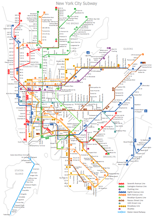
How to draw Metro Map style infographics of New York subway. New York Subway has a long history starting on October 27, 1904. Since the opening many agencies have provided schemes of the subway system. At present time are 34 lines in use. This page present New York City subway map construct with Metro Map Solution in Conceptdraw PRO software. This is a one-click tool to add stations to the map. It lets you control the direction in which you create new stations, change lengths, and add text labels and icons. It contains Lines, Stations, and Landmarks objectsConcept Maps
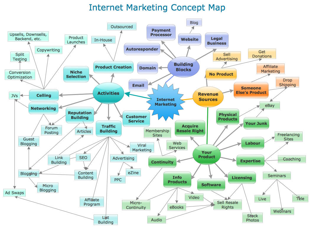
As concept map consists from conception-blocks and links between them, you can use ConceptDraw library objects and add to a document as much objects as you need. ConceptDraw tools let you to edit, group, move objects, change their appearance and add text signs and raster or vector pictures. ConceptDraw PRO diagramming and vector drawing software extended with Concept Maps Solution from the "What is a Diagram" Area is effective tool for creating professional looking Concept Maps.How to draw Metro Map style infographics? Moscow, New York, Los Angeles, London
The solution handles designs of any complexity, and the comprehensive library covers all key aspects of a transportation system. To further enhance your map design, there is the option to embed links, that can display station images or other relevant, important information. We have also included a set of samples in the solution, that show the possible real-world application — complex tube systems including the London Tube and New York City Subway show the level of detail possible when using the Metro Map Solution.
 Metro Map
Metro Map solution extends ConceptDraw PRO software with templates, samples and library of vector stencils for drawing the metro maps, route maps, bus and other transport schemes, or design tube-style infographics.
Best Tool for Infographic Construction
ConceptDraw is a best data visualization tool that will allow everyone to create rich infographics and visualizations quickly and easily.- How to draw Metro Map style infographics? ( London ) | How to draw ...
- How to draw Metro Map style infographics? (New York) | Subway ...
- Visio Stencils Directional Maps
- In searching of alternative to MS Visio for MAC and PC with ...
- Visio Directional Map
- Directional Map Visio
- How to draw Metro Map style infographics? Moscow, New York, Los ...
- Direction Map Using Visio
- How To Create a MS Visio Data-driven Infographics Using ...
- How to draw Metro Map style infographics? Moscow, New York, Los ...
- How to draw Metro Map style infographics? ( London ) | How to draw ...
- Visio Files and ConceptDraw | How to draw Metro Map style ...
- Marketing Plan Infographic | How To Create a MS Visio Data-driven ...
- In searching of alternative to MS Visio for MAC and PC with ...
- How To Create a MS Visio Data-driven Infographics Using ...
- How to draw Metro Map style infographics? ( London ) | How to draw ...
- Metro Map | How to draw Metro Map style infographics? (Los ...
- How To Create a MS Visio Data-driven Infographics Using ...
- How to Convert a Visio Stencils for Use in ConceptDraw PRO | How ...
