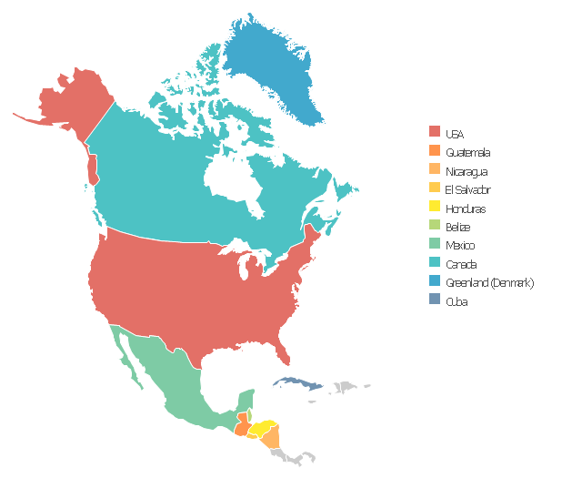
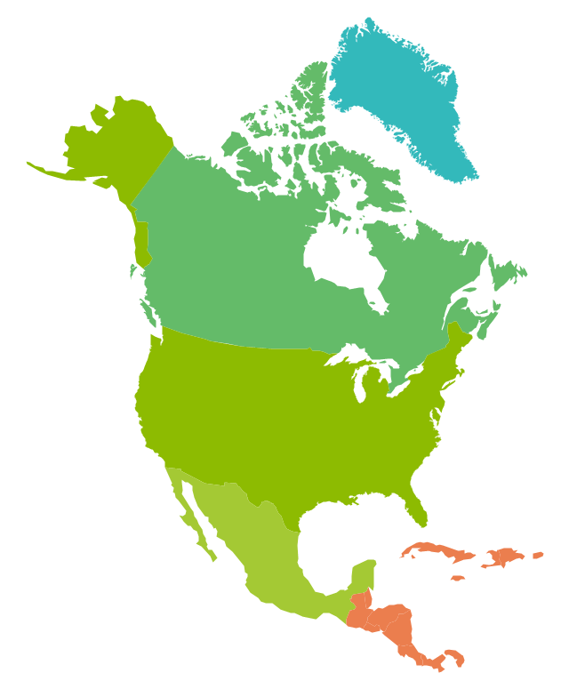
Use this template of North America map with contours of North American
countries, capitals and main cities to design your political or thematic map . This
North
Use this template to design your North America political map , cartogram or
thematic map , to visualize your spatial business information connected with
HelpDesk
How to Draw a Map of North America
ConceptDraw DIAGRAM can be used as a tool for creating maps of countries and regions of the world. It allows you to draw continental maps quickly and easilyGeo Map - United States of America Map
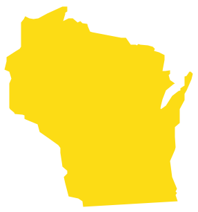
Drawing Geo map of all United States of America, which are Alabama, Alaska, Arizona, Arkansas, California, Colorado, Connecticut, Delaware, Florida, Georgia, Hawaii, Idaho, Illinois, Indiana, Iowa, Kansas, Kentucky, Louisiana, Maine, Maryland, Massachusetts, Michigan, Minnesota, Mississippi, Missouri, Montana, Nebraska, Nevada, New Hampshire, New Jersey, New Mexico, New York, North Carolina, North Dakota, Ohio, Oklahoma, Oregon, Pennsylvania, Rhode Island, South Carolina, South Dakota, Tennessee, Texas, Utah, Vermont, Virginia, Washington, West Virginia, Wisconsin and Wyoming, you need a proper software where you can create very good looking map so it looks professional and very sophisticated. Making it using ConceptDraw DIAGRAM is a very good option as this application allows to make any kind of map, as well as plans, charts, flowcharts, diagrams and schemes in minutes having all existing examples and templates of already previously made maps. Using our stencil libraries with so many design elements guarantees your final map to be looking simply great.The vector stencils library " North America " contains 70 contours for drawing
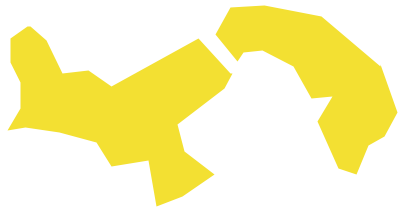
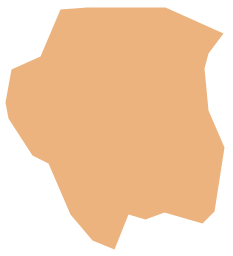
thematic maps of North America in spatial infographics. Use it for visual
 Continent Maps Solution. ConceptDraw.com
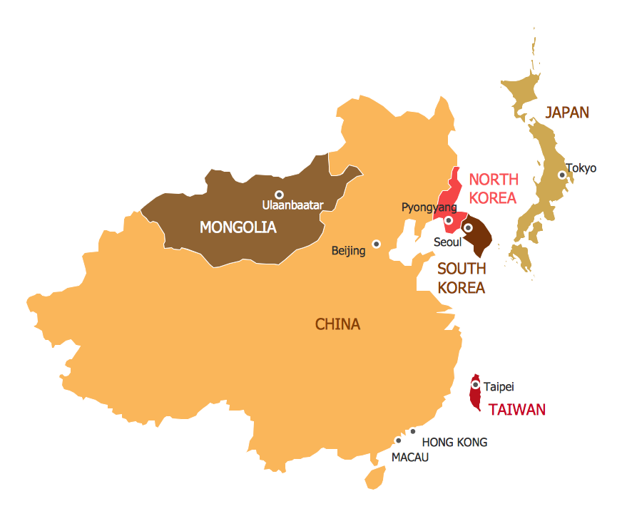
Creating African, Asian, Australian, European, and North and South American
geographical maps , cartograms and thematic maps in order to assist with
- North America map with capitals - Template | South America map ...
- North America Thematic Map
- North America map with capitals - Template | Geo Map — United ...
- North America Map Hindi
- Easy Steps To Draw North America Outline Map
- North America map - Template
- North America Map Hindi Country Names
- North America map with capitals - Template | Continents Map ...
- How to Draw a Map of North America | Map Software | Continent ...
- Geo Map - South America Continent | North America Map In Hindi
- Languages of South America - Thematic map | North America map ...
- North America map with capitals - Template
- North America map - Template | North America - Vector stencils ...
- Geo Map — United States of America Map | Design elements ...
- Geo Map — United States of America Map | North America map with ...
- Geo Map — United States of America Map | Design elements - North ...
- North American Countries And Capitals Map In Hindi
- Geo Map — United States of America Map | North America map with ...
- North America - Vector stencils library | Latin America - Vector ...
- Political Country Map Of North America In Hindi

